Cabresto Lake - FS 134A
Total Miles
2.2
Technical Rating
Best Time
Spring, Summer, Fall
Trail Type
Full-Width Road
Accessible By
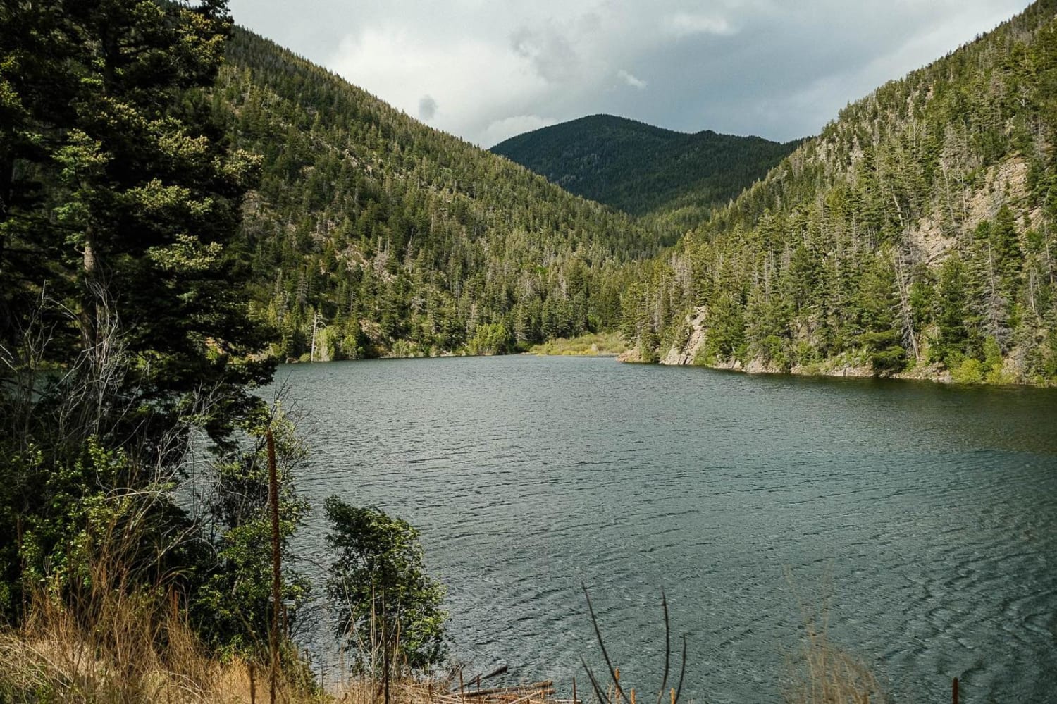
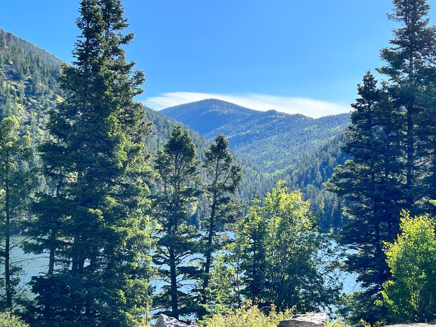
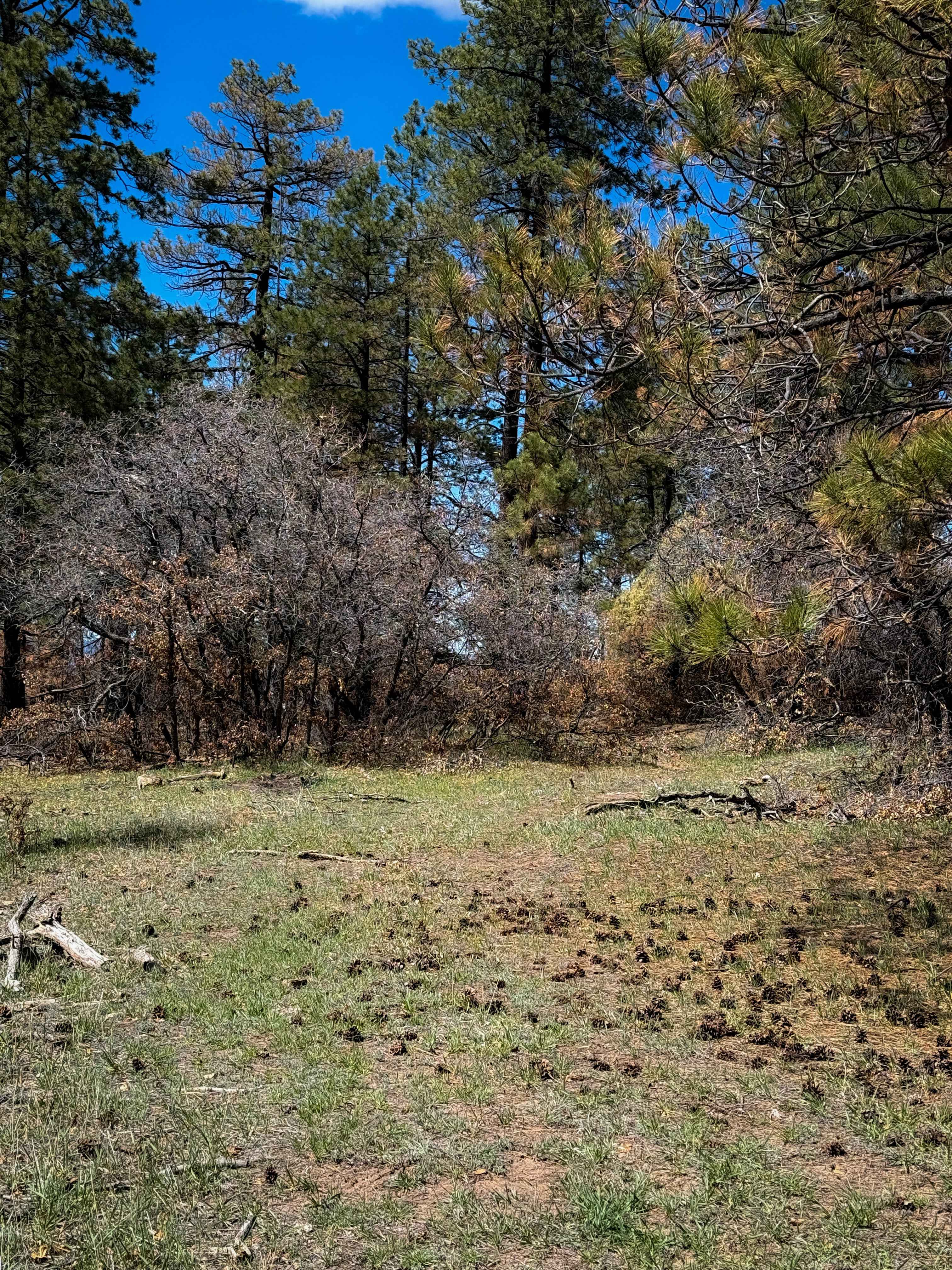
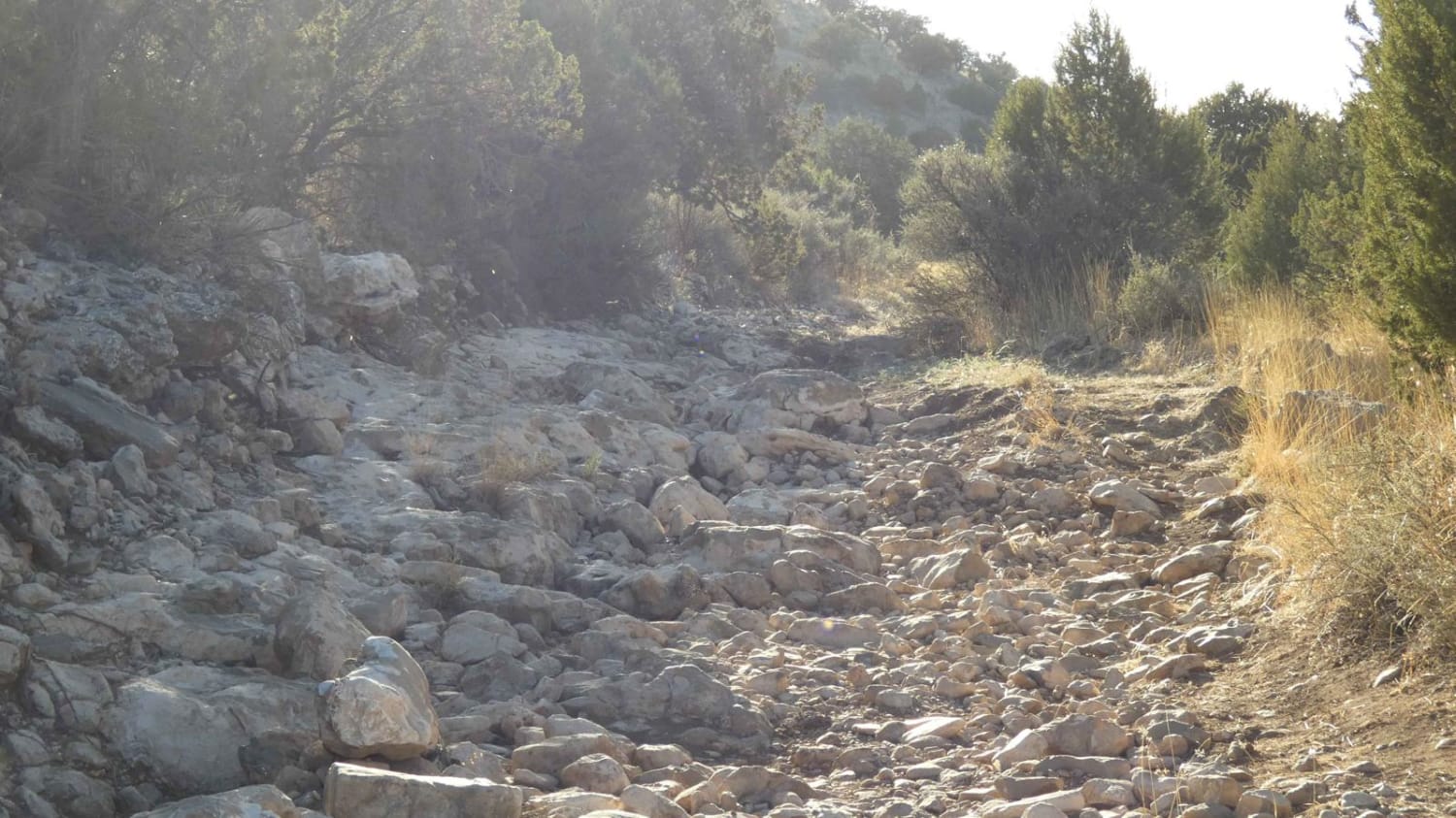
Trail Overview
Forest Service Road 134A is a steep, rocky road that leads to Cabresto Lake; it's a beautiful mountain lake surrounded by the high peaks of Carson National Forest. The trail is narrow and consists of sharp rocks no larger than 12 inches in height. High-clearance 4x4 is recommended but high-clearance AWD SUVs should be able to make it up to the lake with extreme caution. This out-and-back trail traverses along the side of a valley and offers great views of Carson National Forest. Cabresto Lake sits at the end of the trail and is a popular spot for picnics, fishing, kayaking, hiking, and camping. The lake is one of the few places in New Mexico for catching brook trout. There are wild chipmunks and birds including woodpeckers and cardinals. There are 9 designated primitive campsites available on a first-come, first-served basis. No permit is required and there are picnic tables and a vault toilet in the middle of the parking lot. This trail is also heavily trafficked by side-by-sides. The lake is generally open from May to November.
Photos of Cabresto Lake - FS 134A
Difficulty
This trail has sharp, rocky terrain. Airing down is recommended.
Status Reports
Cabresto Lake - FS 134A can be accessed by the following ride types:
- High-Clearance 4x4
- SUV
- SxS (60")
- ATV (50")
- Dirt Bike
Cabresto Lake - FS 134A Map
Popular Trails

Glorieta Baldy

CMT East Loop
The onX Offroad Difference
onX Offroad combines trail photos, descriptions, difficulty ratings, width restrictions, seasonality, and more in a user-friendly interface. Available on all devices, with offline access and full compatibility with CarPlay and Android Auto. Discover what you’re missing today!