Ortiz Mountain Pass
Total Miles
7.5
Technical Rating
Best Time
Spring, Summer, Fall, Winter
Trail Type
Full-Width Road
Accessible By
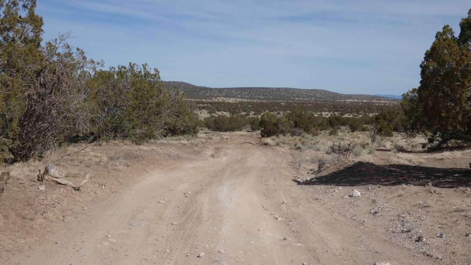
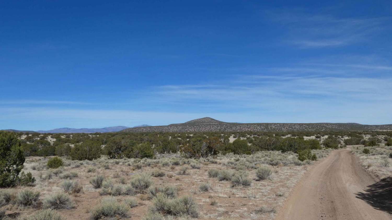
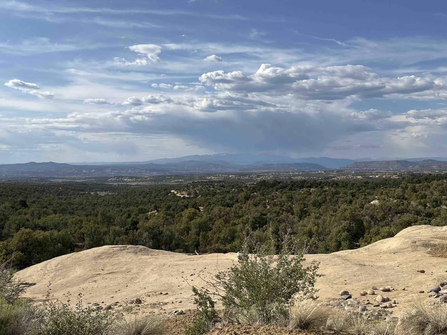
Trail Overview
Ortiz Mountain Pass, when run in its entirety, gives a clear view of Los Alomos to the west, Montoso Peak to the southwest, and the Pecos Wilderness Mountains to the east. The trail begins on a primarily dirt two-track before changing to a more rocky surface as it begins its ascent at approximately 4 miles in from the entrance. There are several short steep grades on loose rocky surfaces with some rocks being up to 14" in size, tight turns through brush that impede on the trail as well as several small washes that have the potential to be shallow water crossings after wet weather or heavy snow melt. Cell service is weak through many areas of the trail with it improving towards the 4.5 mile mark at the high point of the trail at 6,903 feet in elevation. This is an out-and-back trail with no alternate exit with few areas wide enough to turn around.
Photos of Ortiz Mountain Pass
Difficulty
Drivers will encounter several short steep grades and larger loose rocks up to 14 inches in size. There are also some short off-camber sections, deeper rutting, and some signs of erosion throughout the trail.
Status Reports
Ortiz Mountain Pass can be accessed by the following ride types:
- High-Clearance 4x4
- SUV
- SxS (60")
- ATV (50")
- Dirt Bike
Ortiz Mountain Pass Map
Popular Trails
Burma Road-Garcia Falls
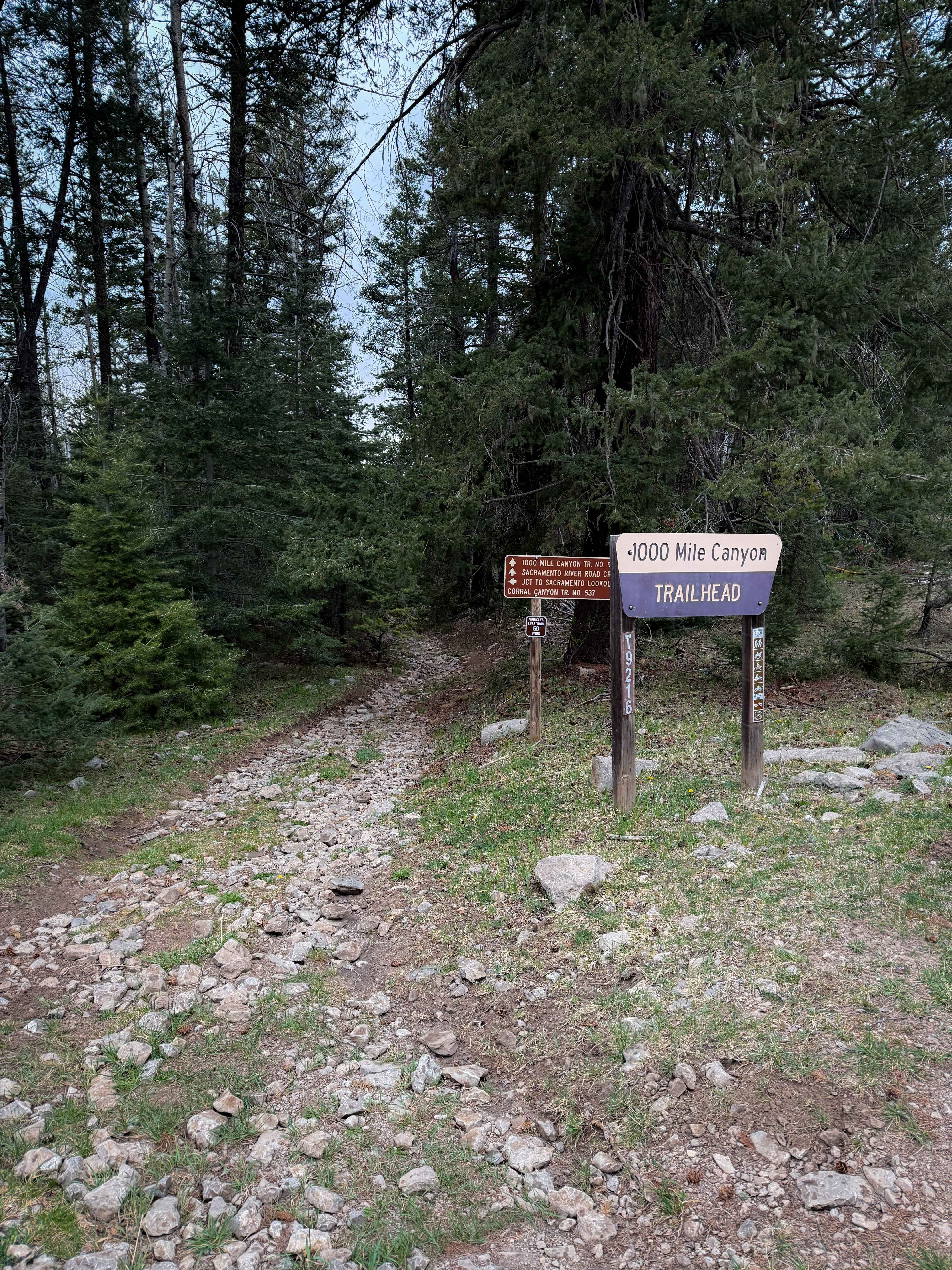
1000 Mile Canyon - FS 9216

FR 93 Red Mud Rumble
The onX Offroad Difference
onX Offroad combines trail photos, descriptions, difficulty ratings, width restrictions, seasonality, and more in a user-friendly interface. Available on all devices, with offline access and full compatibility with CarPlay and Android Auto. Discover what you’re missing today!