Burma Road-Garcia Falls
Total Miles
16.7
Technical Rating
Best Time
Spring, Summer, Fall, Winter
Trail Type
Full-Width Road
Accessible By
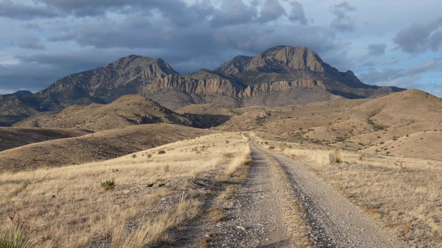
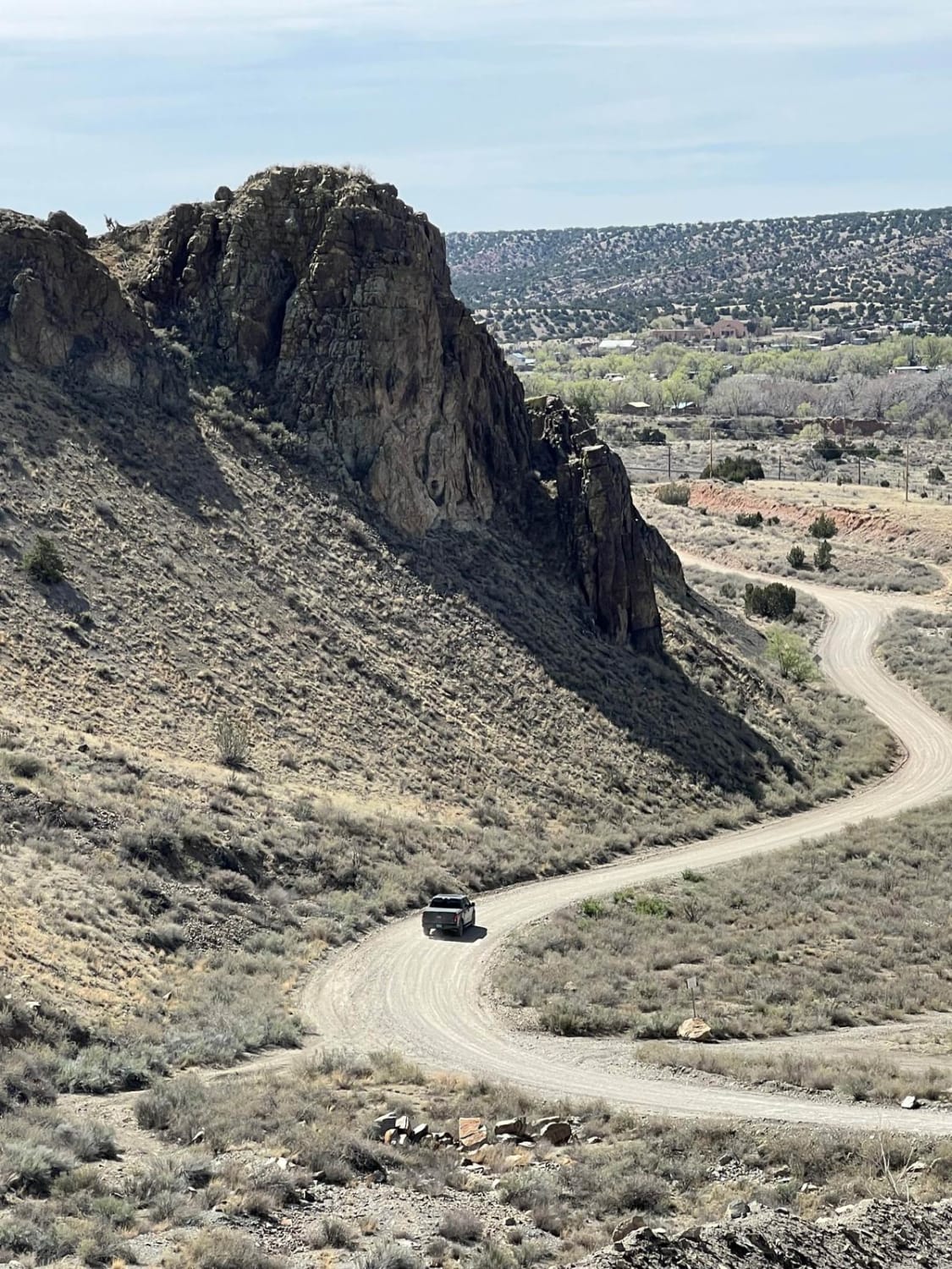
Trail Overview
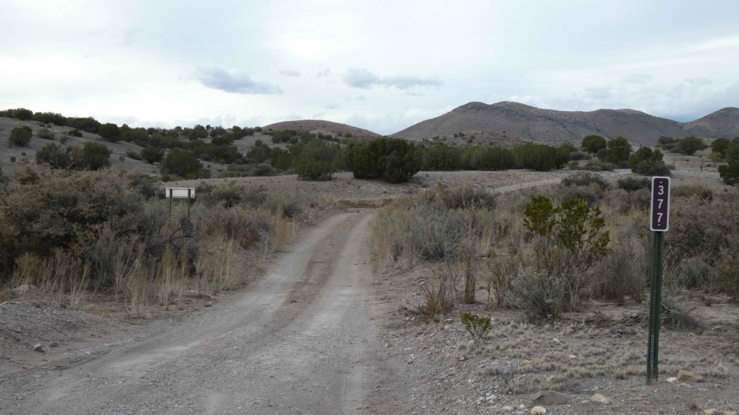
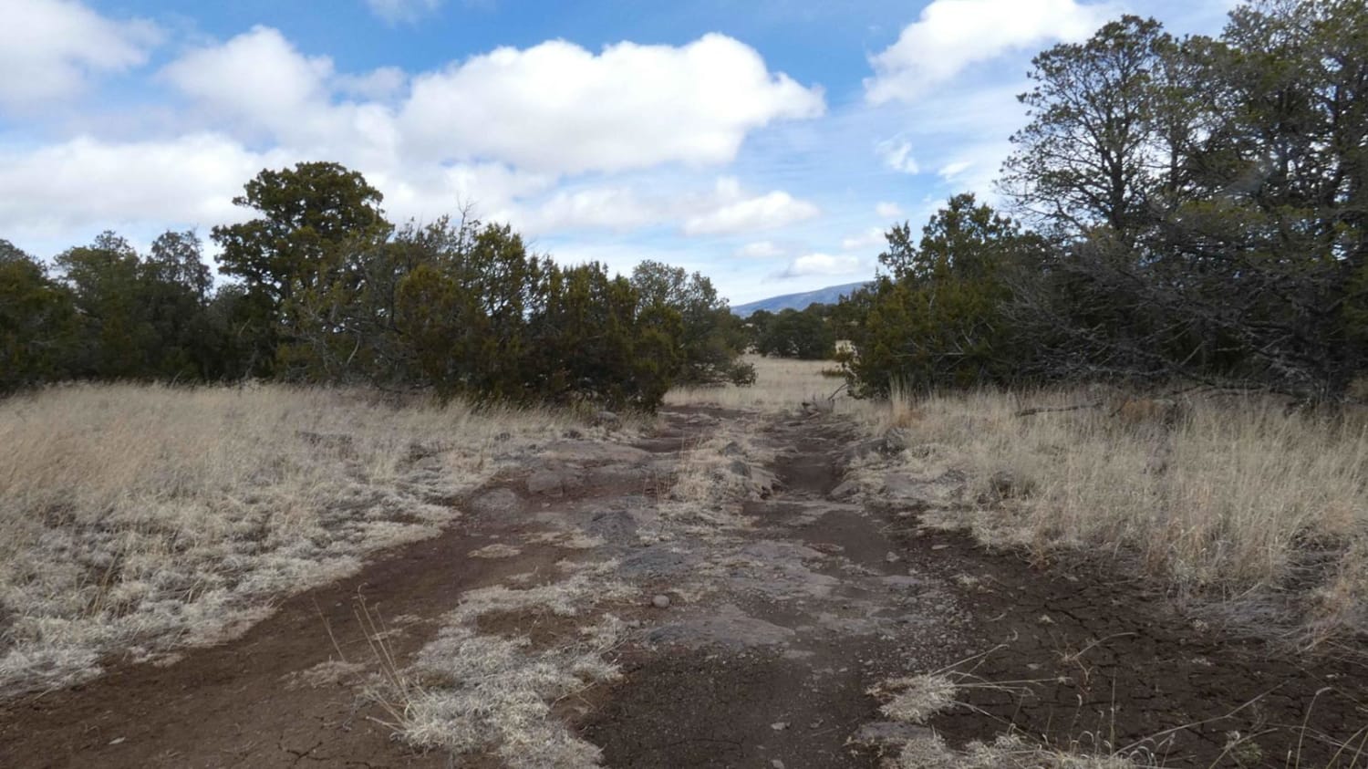
Burma Road-Garcia Falls begins on a decently maintained dirt and rock road that is wide enough for two vehicles for the first several miles and will be easily traveled with most high-clearance AWD and 4x4 vehicles. There are a few low-lying washes throughout the trail that will have the potential to be shallow water crossings after rain or snow melt. While there are no obstacles larger than 10 inches, there are several steeper grades along the route as it winds through the canyon and back up the foothills of the mountain. Approximately 5.5 miles into the trail, drivers will have the opportunity to explore Garcia Falls, which is one of the few waterfalls in the area and gives this track a unique attraction. Continuing on from the falls, the road remains narrow with a majority of the trail being single-vehicle-width with very little room to pass and only a couple of spots with room to pull off. The shelf road begins to drop into lower elevation as it cuts through one of several valleys in the area before ascending again to the upper foothills and ridges to the west that give amazing views of the San Mateo mountains and Vicks Peak, as well as the numerous mountains to the south. The track ends where it intersects FSR-76/Holdup Spur. Dispersed camping is permitted throughout the length of the trail, except for the first 1.2 miles that cut through a private land tract. Cell service is primarily strong for a majority of the trail that is at higher elevations and drops to no service while traversing through the valley.
Photos of Burma Road-Garcia Falls
Difficulty
Drivers can expect slightly steep grades as the road ascends towards the mountain and then descends to the valley before ascending again. The road does have sections with larger loose rocks, low-lying washes, and areas that have the potential to have water runoff. Much of the track is a narrow mountainside shelf road with little or no room to pass. There are no obstacles larger than 10 inches the entire length of the trail. The Garcia Falls turn-off area does have spots with soft sand and shale. Drivers should be aware of where they park and be aware of the weather as this spot is a large runoff area.
Status Reports
Burma Road-Garcia Falls can be accessed by the following ride types:
- High-Clearance 4x4
- SUV
- SxS (60")
- ATV (50")
- Dirt Bike
Burma Road-Garcia Falls Map
Popular Trails
Robledo Chili Canyons Loop
Where is Waldo?
Prather Canyon
The onX Offroad Difference
onX Offroad combines trail photos, descriptions, difficulty ratings, width restrictions, seasonality, and more in a user-friendly interface. Available on all devices, with offline access and full compatibility with CarPlay and Android Auto. Discover what you’re missing today!