Slane Canyon
Total Miles
9.7
Technical Rating
Best Time
Spring, Summer, Fall
Trail Type
Full-Width Road
Accessible By
Trail Overview
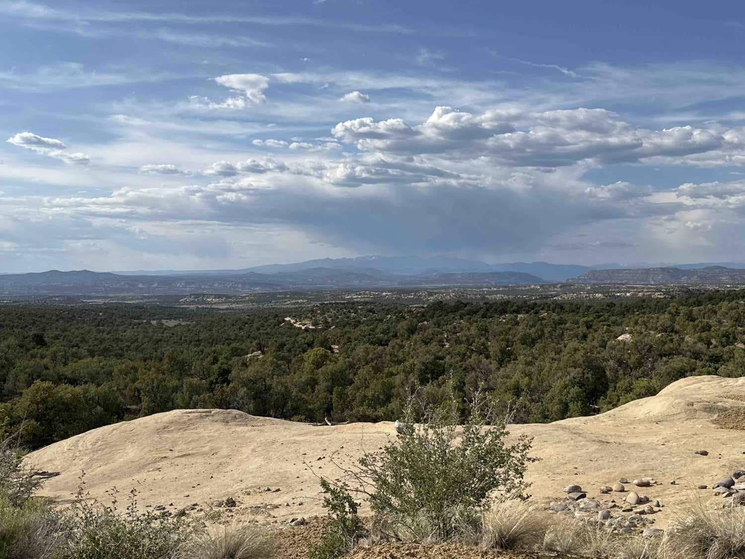
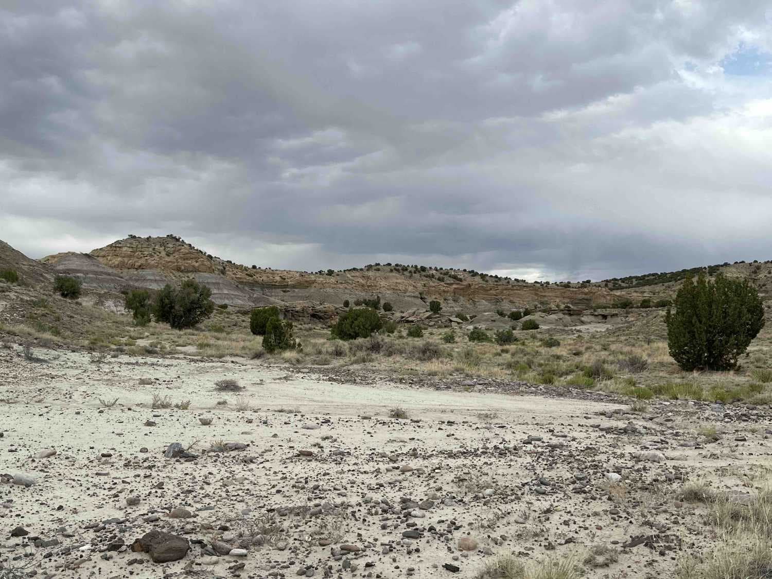
This is an easy, scenic trail that can be a leisurely Sunday afternoon drive or an all-day Saturday event. Several spurs and cut-throughs offer the opportunity for more challenging adventures. The trail winds along and to the top of Slane Canyon. Just shy of a 1,000-foot altitude gain means you'll be passing through several scenic "zones" along the way, from the desert just northeast of Bloomfield through some badlands, across several washes, and into the sandstone hoodoo and arch formations that run along the side of the canyon before crossing Navajo Dam Road to climb up the west side of the canyon. You'll go by Slane Knob before curling around the top of the canyon to an oil installation that sits at the top of the ridge above the canyon, affording some gorgeous views of the Rockies in the distance and another, more challenging trail that cuts across to the Mud Canyon Trails. Along the way, you can stop and make the hike(s) to find each of the 22 arches that have been mapped in Slane Canyon or just spend some time hiking along the base of the sandstone cliffs and rock hopping through the hoodoos. The city of Aztec has provided photos of each of the arches and a map with each of their locations here: https://www.aztecnm.com/arches/Aztec/slane.html. The GPX data for all of the arches in the Aztec area can be downloaded, unzipped, and imported into your app here: https://www.aztecnm.com/arches/AztecArches.gpx.
Photos of Slane Canyon
Difficulty
The vast majority of this trail is an easy 2, however, you will find some sandy washes near the south end of the trail. Towards the head of the canyon, loose rocks spill across the road in places.
Status Reports
Slane Canyon can be accessed by the following ride types:
- High-Clearance 4x4
- SUV
- SxS (60")
- ATV (50")
- Dirt Bike
Slane Canyon Map
Popular Trails
Apache Trail
Pinabetosa Water Break
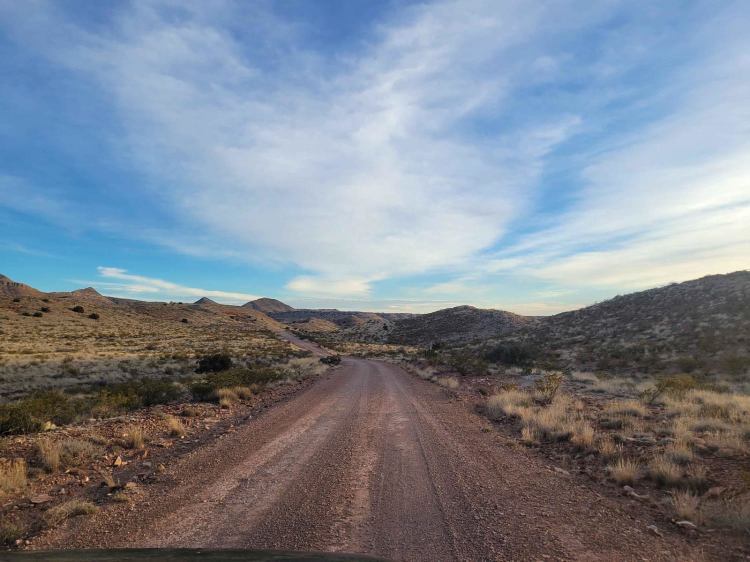
Quebradas Backcountry Byway
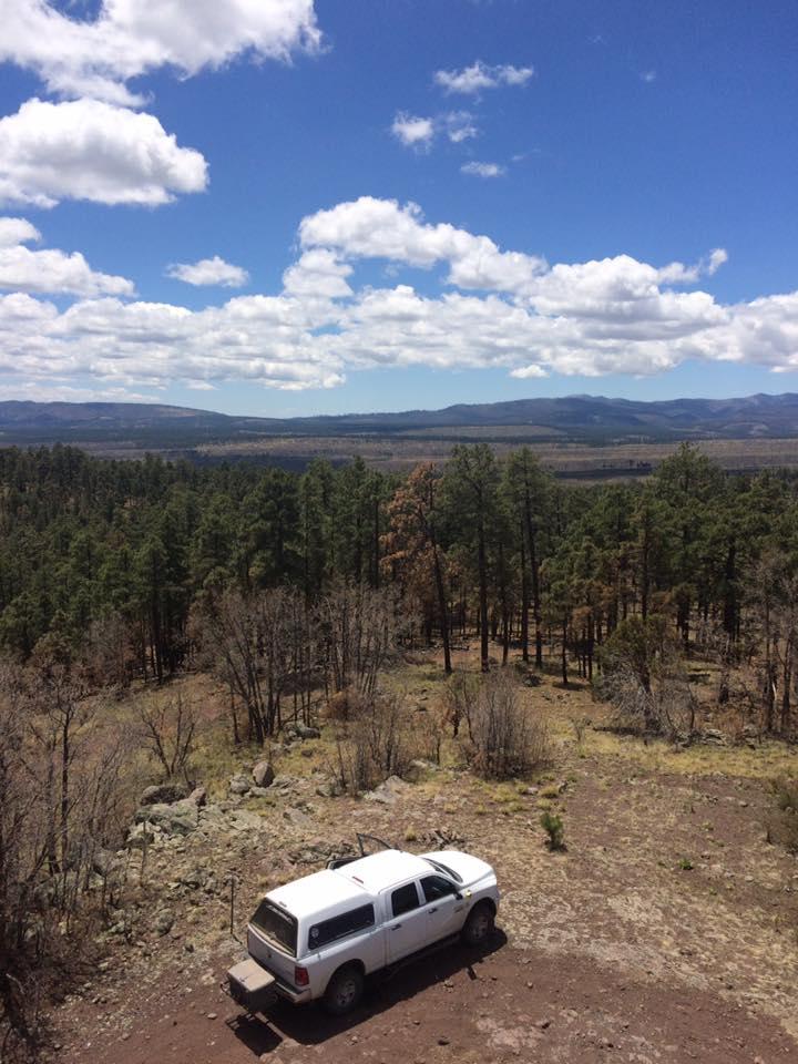
Chloride Canyon
The onX Offroad Difference
onX Offroad combines trail photos, descriptions, difficulty ratings, width restrictions, seasonality, and more in a user-friendly interface. Available on all devices, with offline access and full compatibility with CarPlay and Android Auto. Discover what you’re missing today!
