Caja del Rio to La Bajada Mesa-USFS 24
Total Miles
21.8
Technical Rating
Best Time
Spring, Summer, Fall, Winter
Trail Type
Full-Width Road
Accessible By
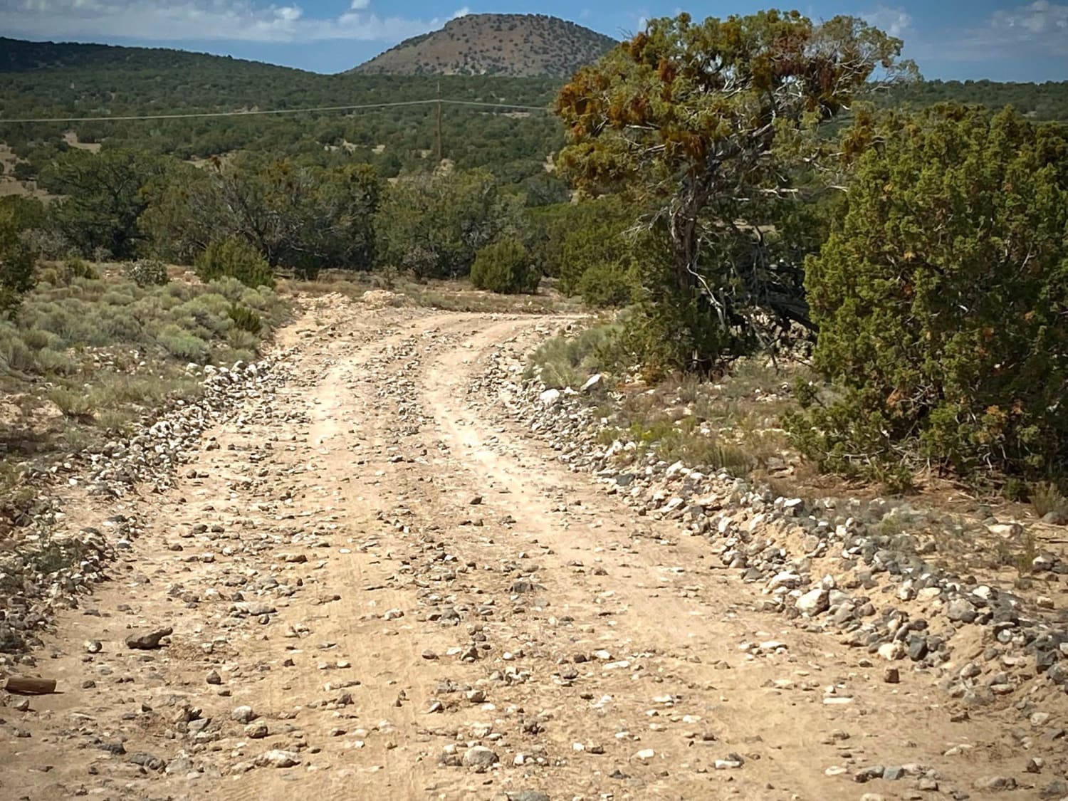
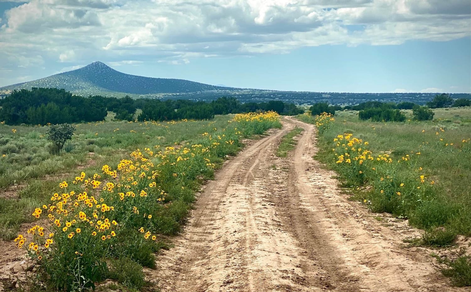
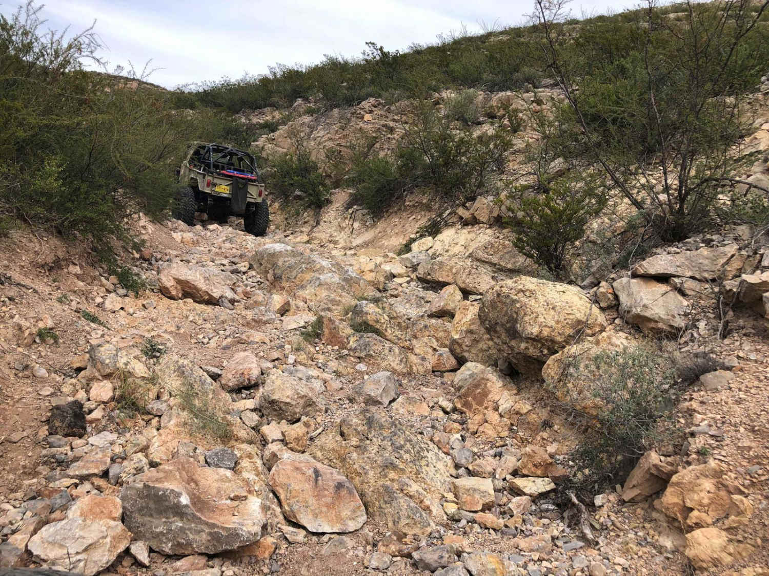
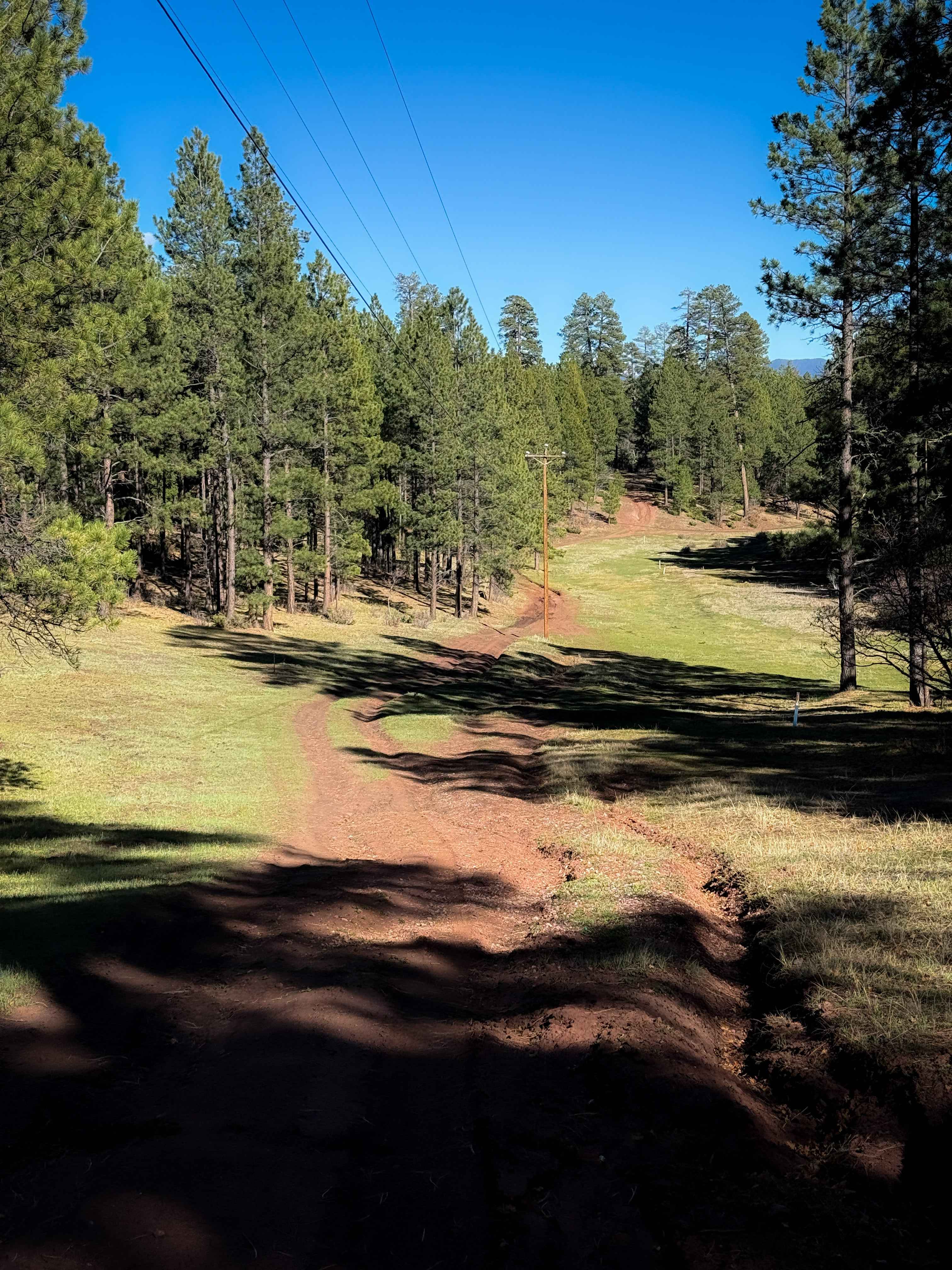
Trail Overview
The Caja del Rio Road (#24) is a 23-mile drive across the Caja del Rio Plateau to La Bajada Mesa. It ends with a large escarpment dropping 1000 feet to the valley below with the Pueblo de Cochiti and Pueblo of Santa Domingo reservations. The views for miles from here on a clear day are tremendous with some cellular service. The Caja del Rio (Box of the River) or Caja as it is called, is a dissected plateau of volcanic origin covering 84,000 acres west of Santa Fe, NM. These are considered sacred lands to this day for the area's pueblo Indians. The landscape is a rolling terrain of pinon-juniper savannah with grasslands made up of sage, wildflowers and mixed grasses. The road is very dry and dusty, however can become wet and muddy during rainy seasons prompting closure. Upon arriving at the USFS road, there is a spot immediately to the right to air down if inclined as this is a rough road the further traveled. This first area has a few loop roads with areas for primitive camping. The El Camino Real Tierra de Adventro trail passes alongside this area. The first 2-3 miles of the road also offer some pull off spaces and side roads for primitive camping accessible by most vehicles. After that the road becomes rougher and high clearance vehicles are recommended. At about mile 6 and again at mile 7 the road makes transitions that are a little rougher with small rocks. Cattle are grazing in areas with some side roads leading to water tanks for them and corrals. At about mile 15 be aware there is a tremendous sink/mudhole with bypasses on either side. Cellular service is very limited if available depending upon location and carrier.
Photos of Caja del Rio to La Bajada Mesa-USFS 24
Difficulty
This road is graded periodically so relatively easy however it still contains some rough areas with dips and mudholes.
Status Reports
Caja del Rio to La Bajada Mesa-USFS 24 can be accessed by the following ride types:
- High-Clearance 4x4
- SUV
- SxS (60")
- ATV (50")
- Dirt Bike
Caja del Rio to La Bajada Mesa-USFS 24 Map
Popular Trails
Frametwister
Windy Trail - 612
Godzilla's Throne

New Years
The onX Offroad Difference
onX Offroad combines trail photos, descriptions, difficulty ratings, width restrictions, seasonality, and more in a user-friendly interface. Available on all devices, with offline access and full compatibility with CarPlay and Android Auto. Discover what you’re missing today!