Curtis Canyon
Total Miles
5.2
Technical Rating
Best Time
Spring, Summer, Fall, Winter
Trail Type
Full-Width Road
Accessible By
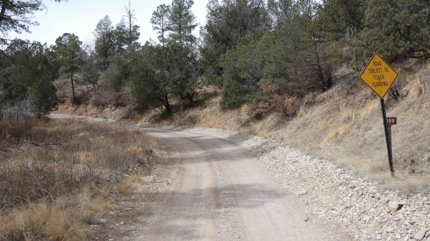
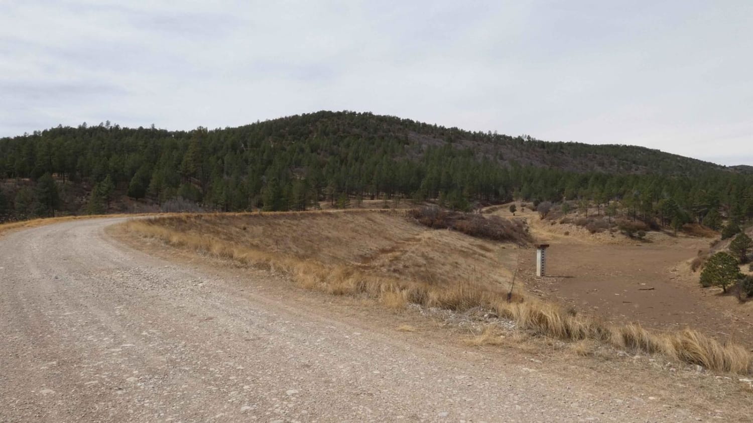
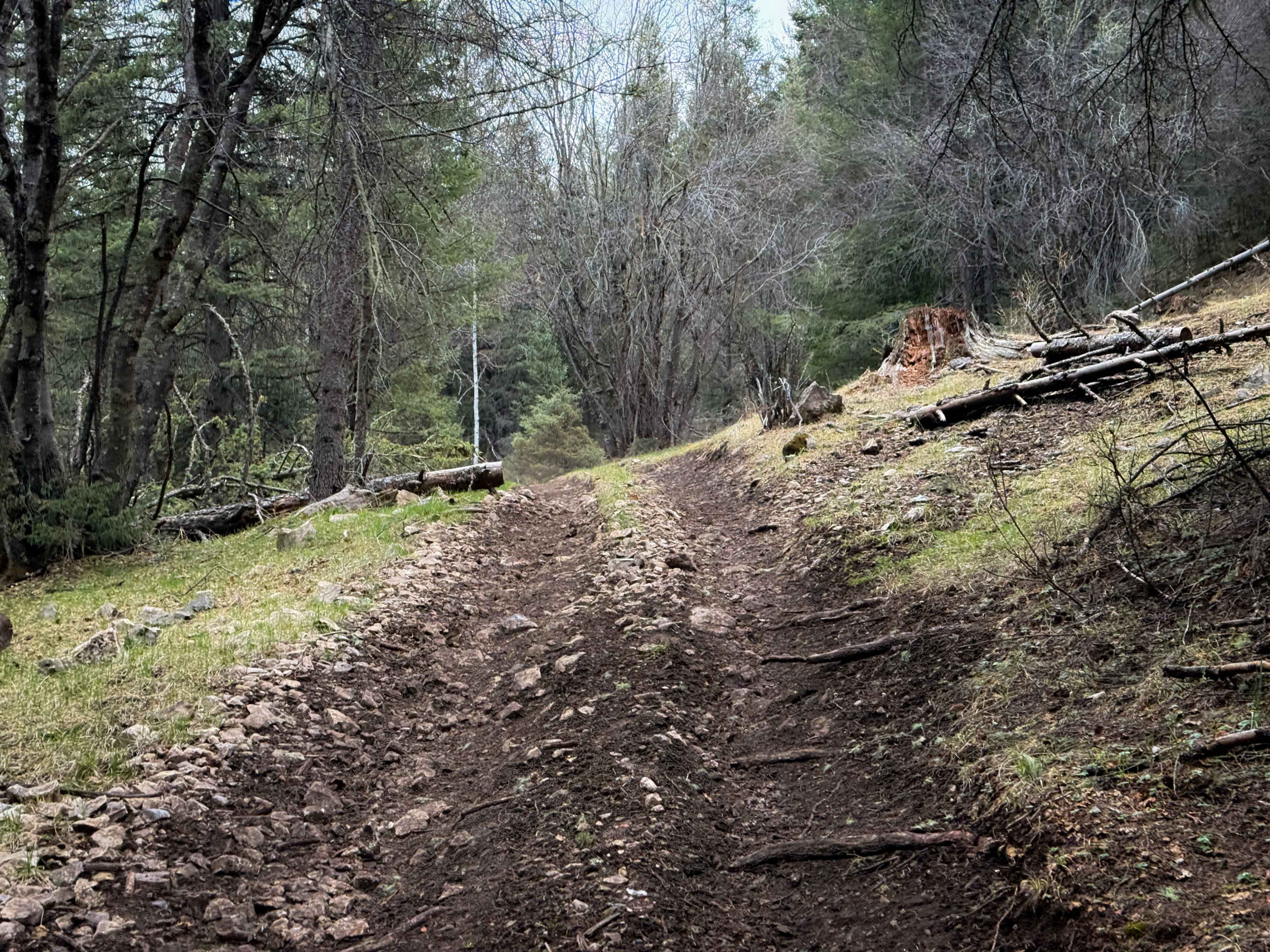
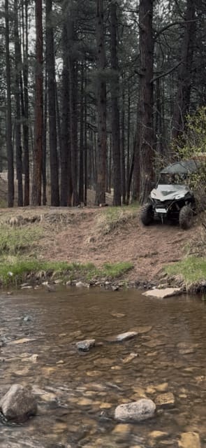
Trail Overview
Curtis Canyon is a very easy-going trail in a lightly wooded area located in the heart of Lincoln National Forest. The trail surface is primarily dirt with some lightly rocky areas and small rock gardens. Snow melt is present after the winter months and provides some shallow water crossings, with some areas prone to deeper flooding during rainy months. There are sections where some rutting is present, and signs of very muddy areas. The trail has several dispersed campsites along the way that are surrounded by taller pines. There is a heavy presence of wildlife in the area from coyotes to deer and elk as well as various birds including large hawks and owls. This is an out-and-back trail that ends at a gated private property boundary and does wind around another section of private property so be sure to follow the track carefully. The trail is primarily single-vehicle wide with plenty of room to pass with the exception of a couple of small areas that slope down to low-lying meadows. There is no cell service in the area. The trail will be easily traveled by most 4x4 vehicles and provides nice canyon views of the surrounding terrain. There is one spur that is open to the south of the main trail that provides an area for additional exploration, as well as a couple of hiking trails.
Photos of Curtis Canyon
Difficulty
Low water crossings, may be up to 12" in depth during/after rain or snow. There are rock gardens, rutted tracks, and slippery mud.
Status Reports
Curtis Canyon can be accessed by the following ride types:
- High-Clearance 4x4
- SUV
- SxS (60")
- ATV (50")
- Dirt Bike
Curtis Canyon Map
Popular Trails

Hubbell Canyon- FS 9277

Fourth of July Campground
The onX Offroad Difference
onX Offroad combines trail photos, descriptions, difficulty ratings, width restrictions, seasonality, and more in a user-friendly interface. Available on all devices, with offline access and full compatibility with CarPlay and Android Auto. Discover what you’re missing today!