Off-Road Trails in New Mexico
Discover off-road trails in New Mexico
Learn more about FR 315B Elk Meadows
FR 315B Elk Meadows
Total Miles
2.7
Tech Rating
Moderate
Best Time
Spring, Summer, Fall
Learn more about FR 316 Coyote Canyon
FR 316 Coyote Canyon
Total Miles
4.9
Tech Rating
Easy
Best Time
Spring, Summer, Fall
Learn more about FR 317 Hey Bear?
FR 317 Hey Bear?
Total Miles
4.7
Tech Rating
Easy
Best Time
Spring, Summer, Fall

Learn more about FR 461 Scrub Oak Loop
FR 461 Scrub Oak Loop
Total Miles
4.5
Tech Rating
Moderate
Best Time
Spring, Summer, Fall
Learn more about FR 69 American Park
FR 69 American Park
Total Miles
6.0
Tech Rating
Easy
Best Time
Spring, Summer, Fall
Learn more about FR 70 American Creek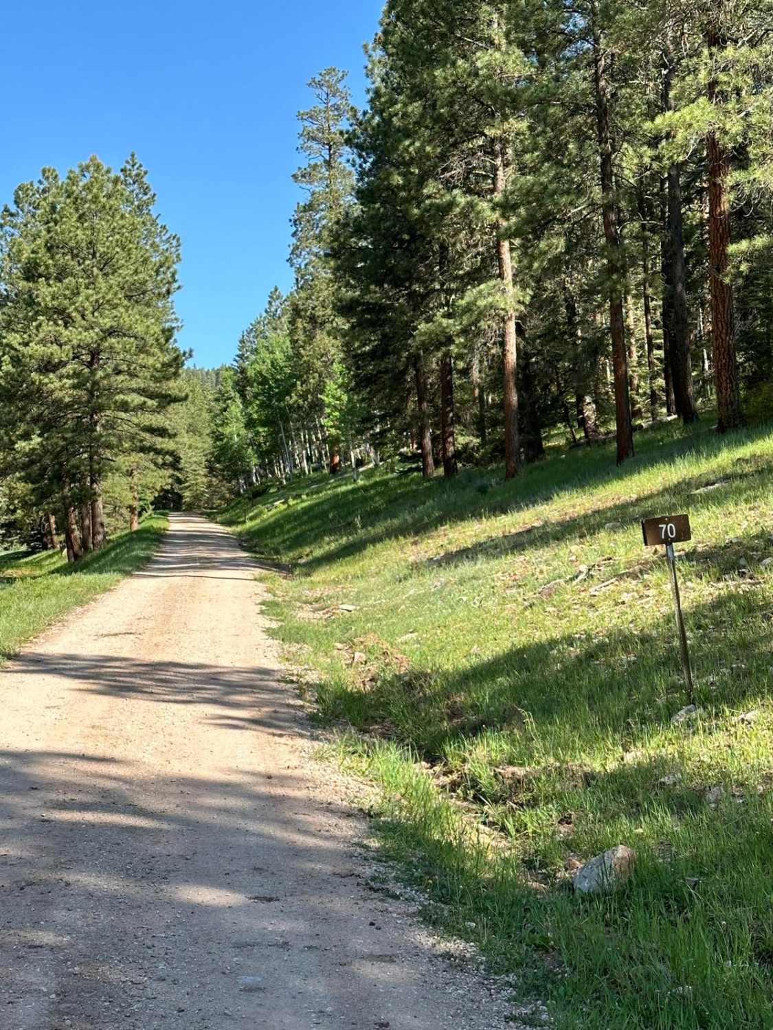
FR 70 American Creek
Total Miles
17.4
Tech Rating
Easy
Best Time
Spring, Summer, Fall
Learn more about FR 93 Diego Springs
FR 93 Diego Springs
Total Miles
3.5
Tech Rating
Easy
Best Time
Spring, Summer, Fall
Learn more about FR 93 Red Mud Rumble
FR 93 Red Mud Rumble
Total Miles
1.8
Tech Rating
Moderate
Best Time
Spring, Summer, Fall
Learn more about FR 99N Gemstone Shortcut
FR 99N Gemstone Shortcut
Total Miles
1.9
Tech Rating
Moderate
Best Time
Spring, Summer, Fall

Learn more about FR103 Run to Rio Puerco
FR103 Run to Rio Puerco
Total Miles
9.6
Tech Rating
Easy
Best Time
Summer, Fall

Learn more about Frametwister
Frametwister
Total Miles
0.3
Tech Rating
Extreme
Best Time
Winter, Fall, Summer, Spring
Learn more about Francis Canyon Pueblito
Francis Canyon Pueblito
Total Miles
12.2
Tech Rating
Easy
Best Time
Spring, Summer
Learn more about Frank's Ranch Road
Frank's Ranch Road
Total Miles
6.0
Tech Rating
Easy
Best Time
Spring, Summer, Fall, Winter
Learn more about FS 222 Las Tablas to Tres Piedras
FS 222 Las Tablas to Tres Piedras
Total Miles
7.3
Tech Rating
Easy
Best Time
Spring, Summer, Fall, Winter
Learn more about FS 23/FS 137 Abiquiu to El Rito
FS 23/FS 137 Abiquiu to El Rito
Total Miles
22.1
Tech Rating
Easy
Best Time
Spring, Fall, Summer
ATV trails in New Mexico
Learn more about 1000 Mile Canyon - FS 9216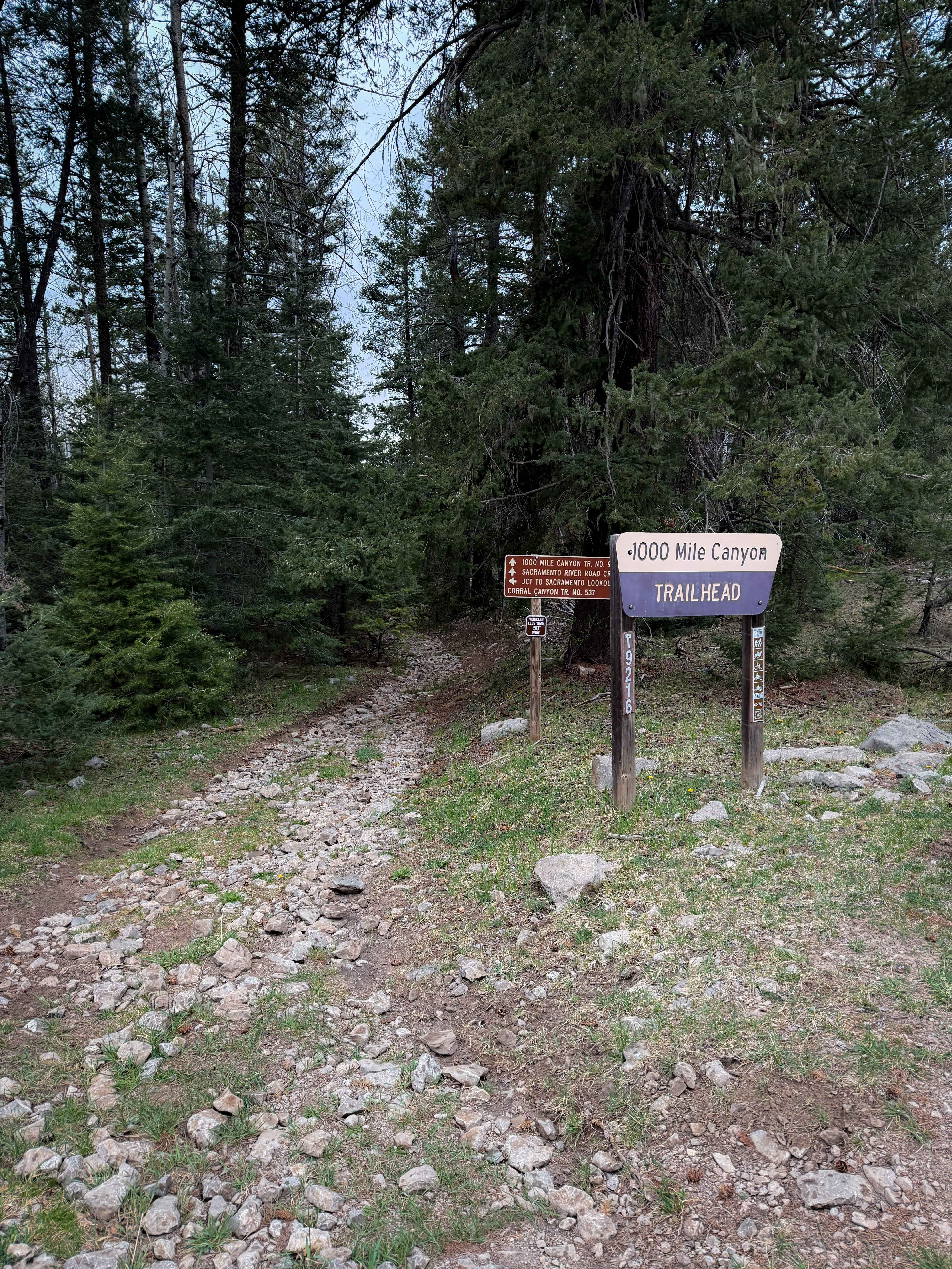
1000 Mile Canyon - FS 9216
Total Miles
1.5
Tech Rating
Moderate
Best Time
Summer, Spring, Fall
Learn more about 2nd Chance
2nd Chance
Total Miles
0.2
Tech Rating
Difficult
Best Time
Summer, Fall, Winter, Spring
Learn more about 3 Stooges
3 Stooges
Total Miles
0.1
Tech Rating
Difficult
Best Time
Spring, Summer, Fall, Winter
UTV/side-by-side trails in New Mexico
Learn more about 2nd Chance
2nd Chance
Total Miles
0.2
Tech Rating
Difficult
Best Time
Summer, Fall, Winter, Spring
Learn more about 3 Stooges
3 Stooges
Total Miles
0.1
Tech Rating
Difficult
Best Time
Spring, Summer, Fall, Winter

The onX Offroad Difference
onX Offroad combines trail photos, descriptions, difficulty ratings, width restrictions, seasonality, and more in a user-friendly interface. Available on all devices, with offline access and full compatibility with CarPlay and Android Auto. Discover what you’re missing today!