Glorieta Peak
Total Miles
16.0
Technical Rating
Best Time
Spring, Summer, Winter, Fall
Trail Type
Full-Width Road
Accessible By
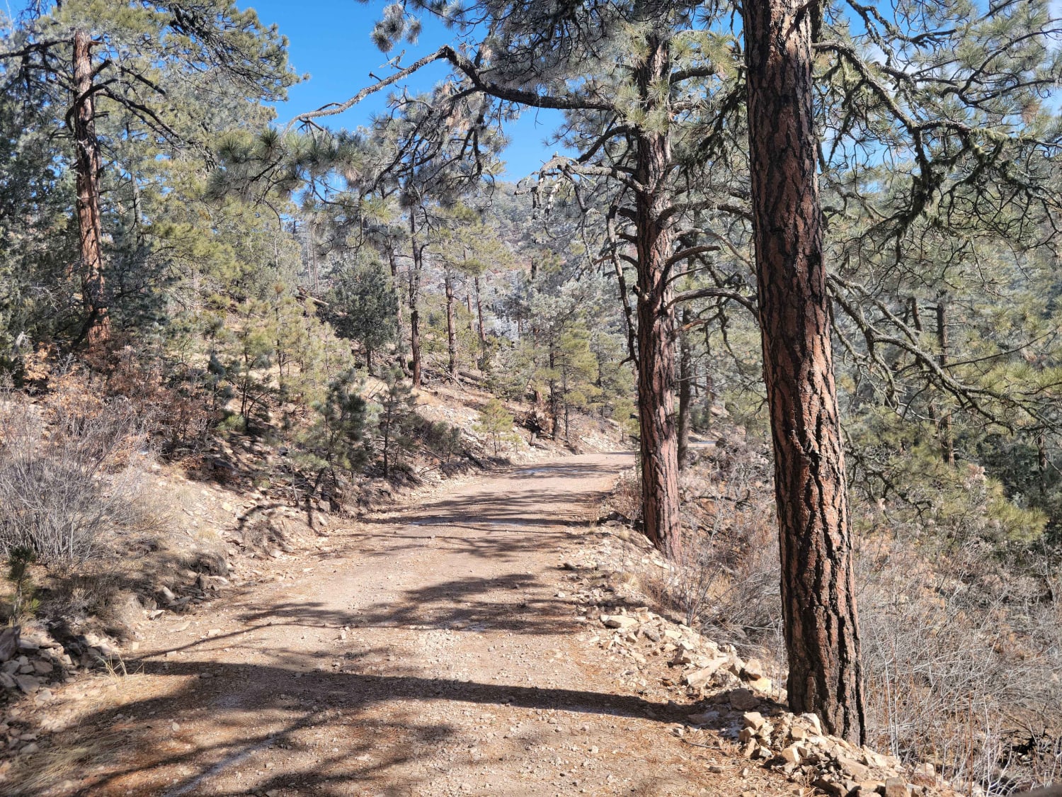
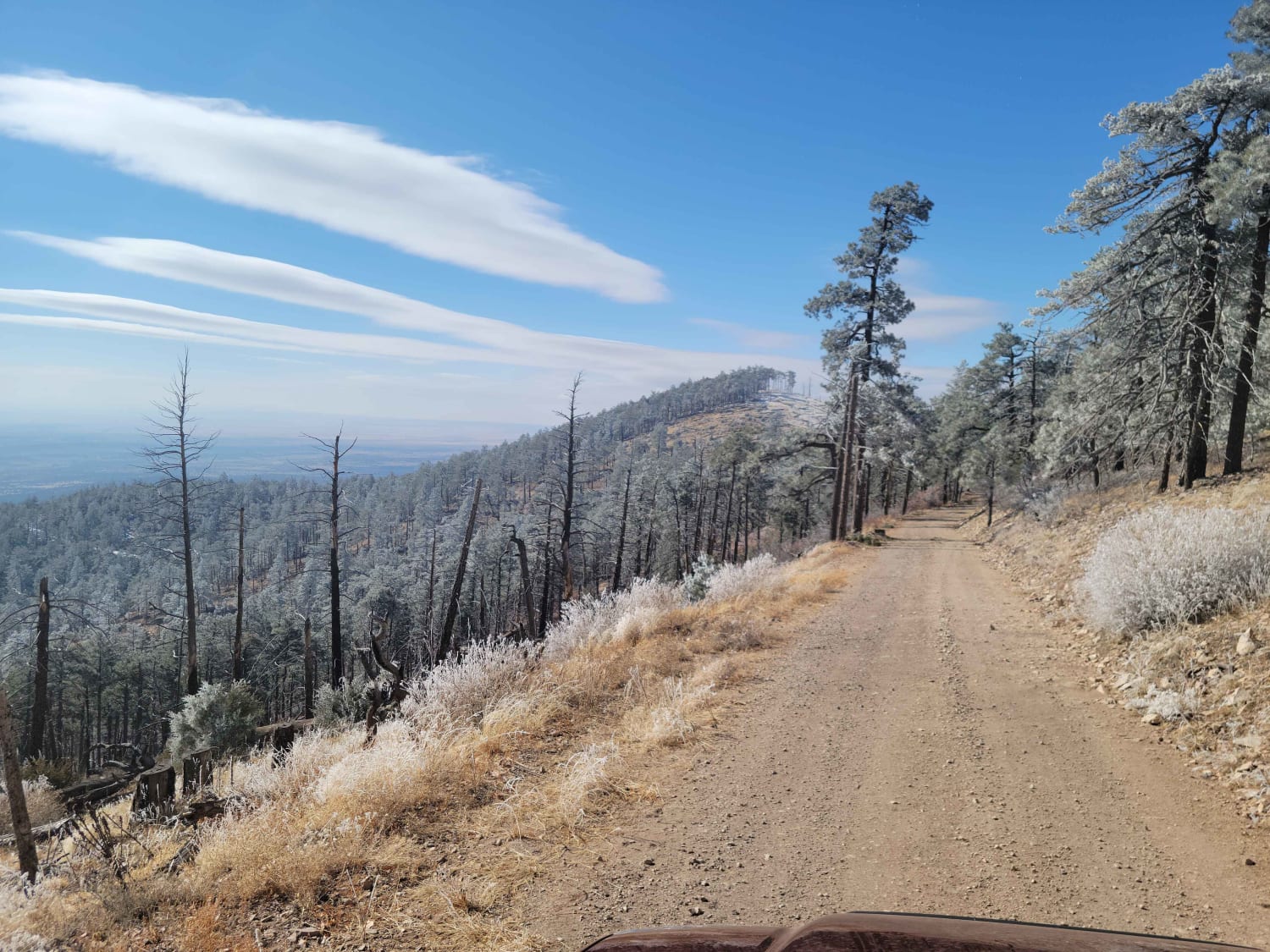
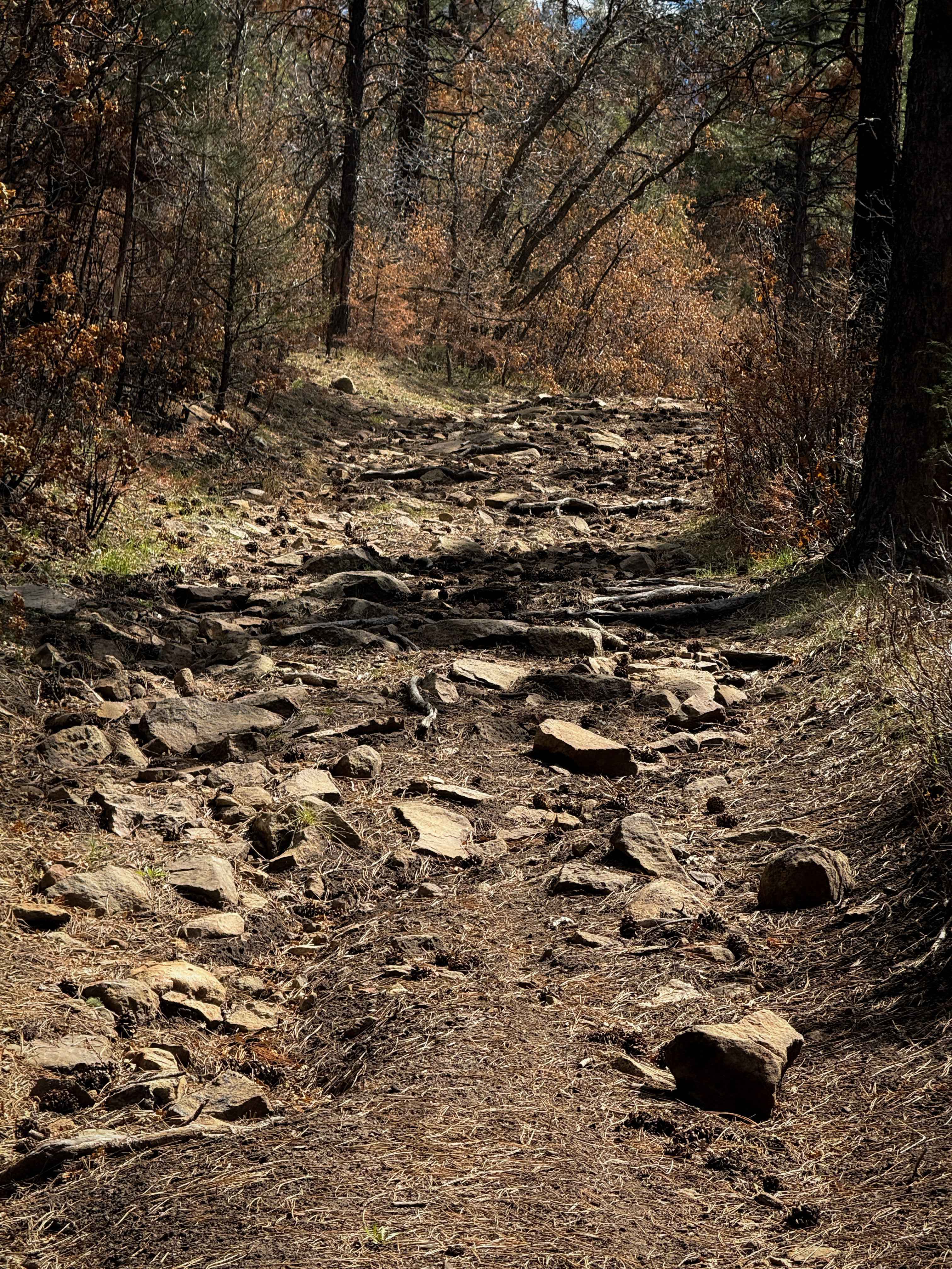
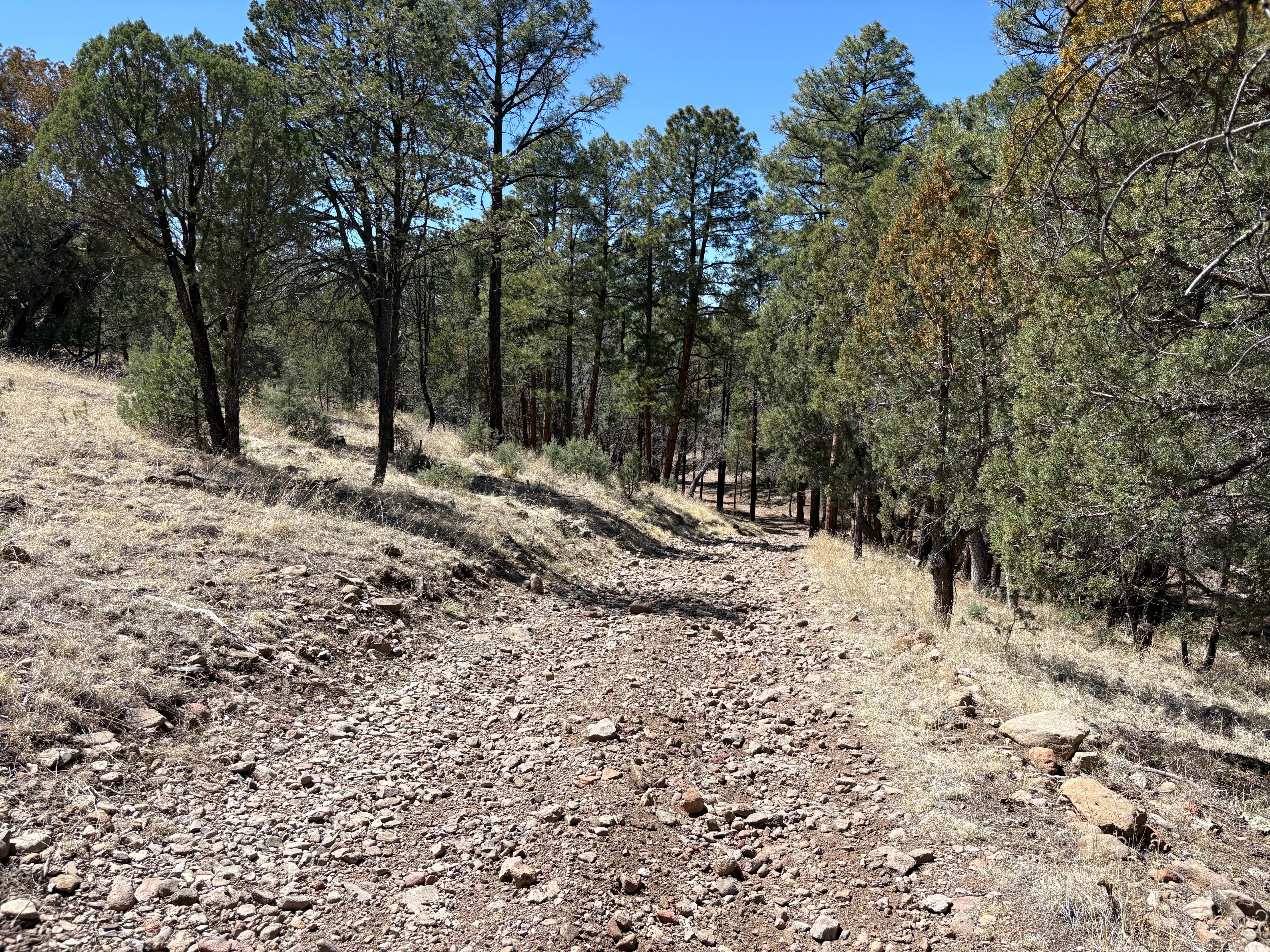
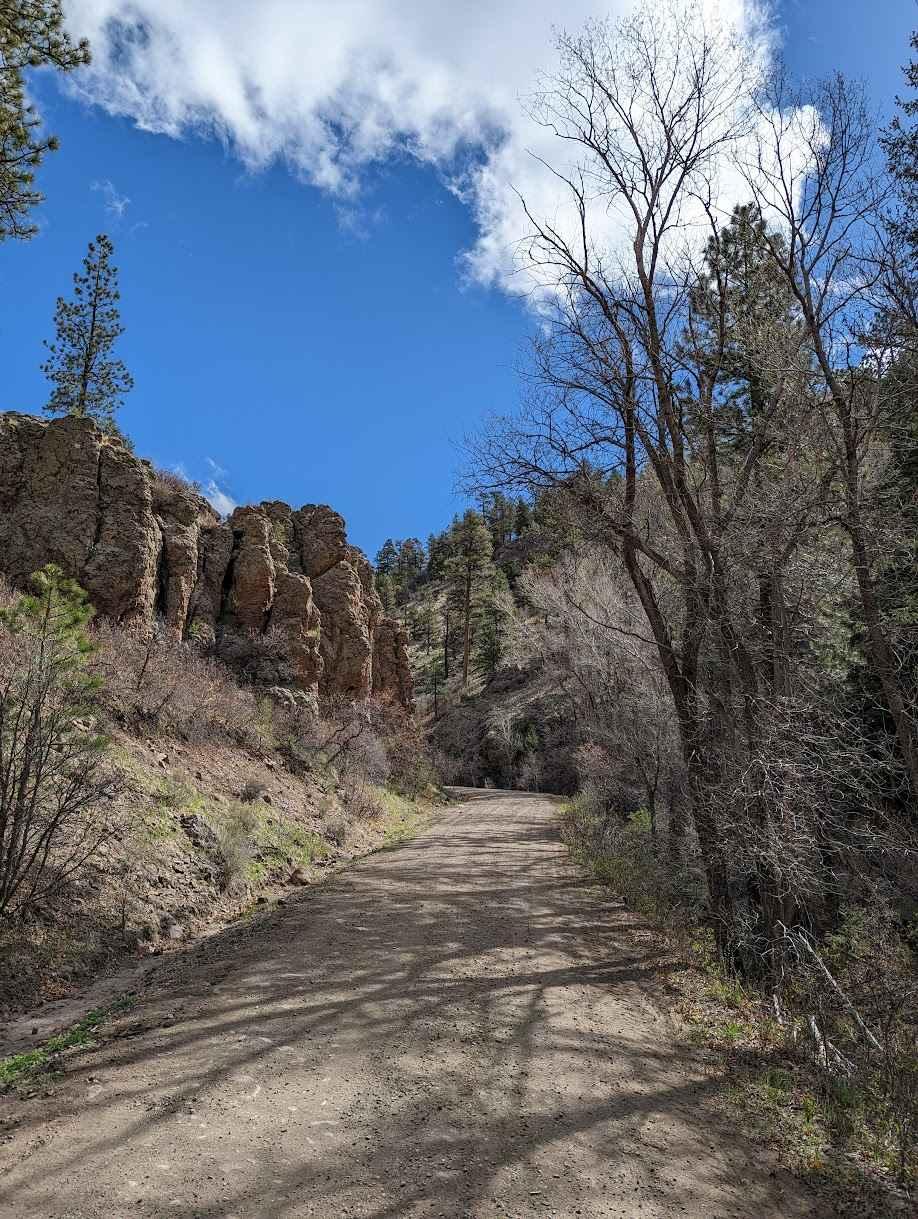
Trail Overview
This trail ascends a mountain surrounded by the desert to the South-East of Mountainair. When approaching the peak, it will be visible long before you start the trail when approaching from the west. The first part of the trail is driving on light gravel roads before you enter the National Forest. The forest roads gradually give way to somewhat steeper terrain at the junction with Red Cloud Trail. The last portion of the trail involves multiple switchbacks and shelf roads but is never really all that hairy. At the top, there is an old fire lookout station as well as a collection of antennas. This trail is easily doable in any crossover, though caution should be taken due to its relative isolation.
Photos of Glorieta Peak
Difficulty
While rutting is possible on the road in places, the trail is easily doable even in the light snow that falls in the winter.
Status Reports
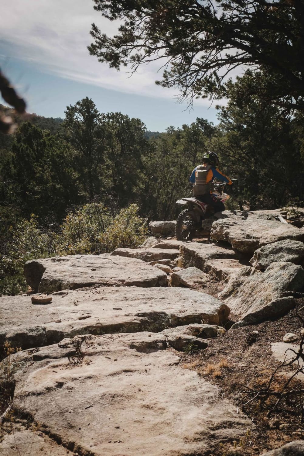
Glorieta Peak can be accessed by the following ride types:
- High-Clearance 4x4
- SUV
- SxS (60")
- ATV (50")
- Dirt Bike
Glorieta Peak Map
Popular Trails
More Cowbell
Lincoln Canyon Road - FS 4079T
FS 222 Las Tablas to Tres Piedras
The onX Offroad Difference
onX Offroad combines trail photos, descriptions, difficulty ratings, width restrictions, seasonality, and more in a user-friendly interface. Available on all devices, with offline access and full compatibility with CarPlay and Android Auto. Discover what you’re missing today!