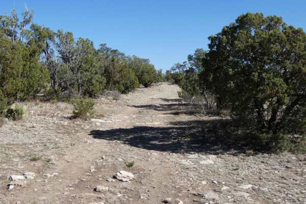
Trail Overview
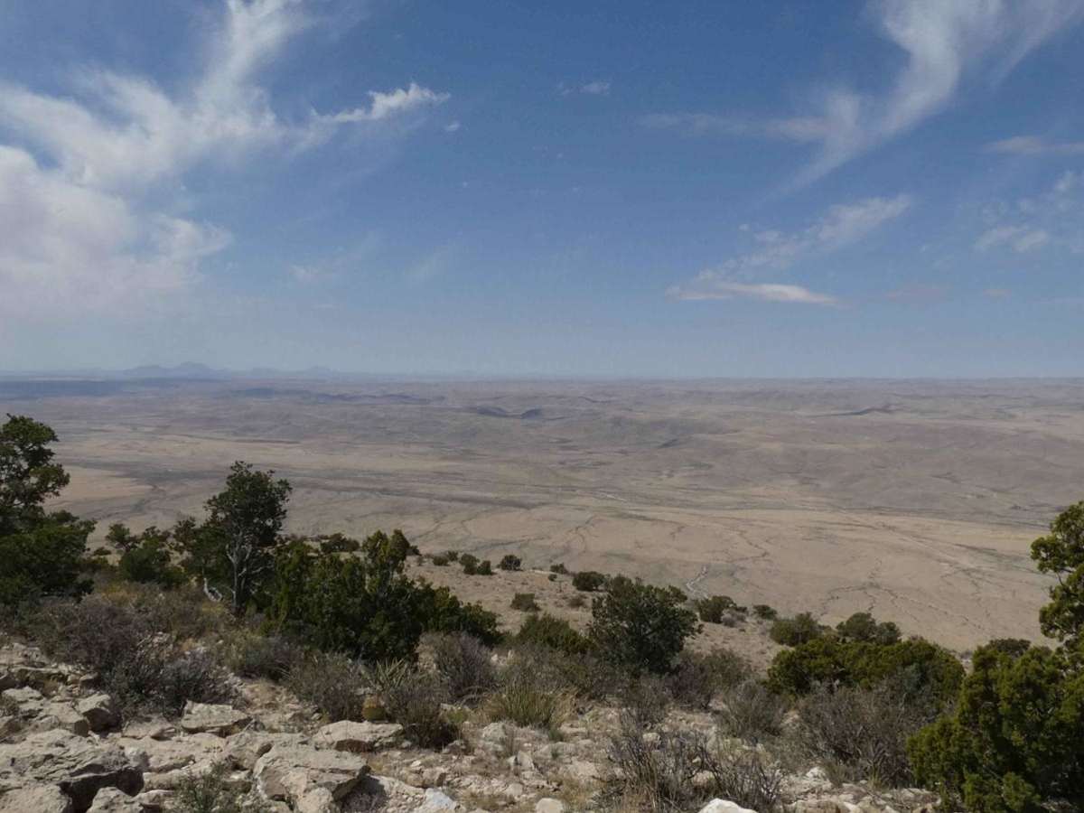
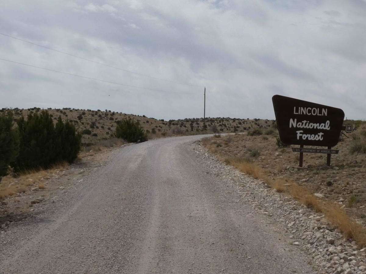
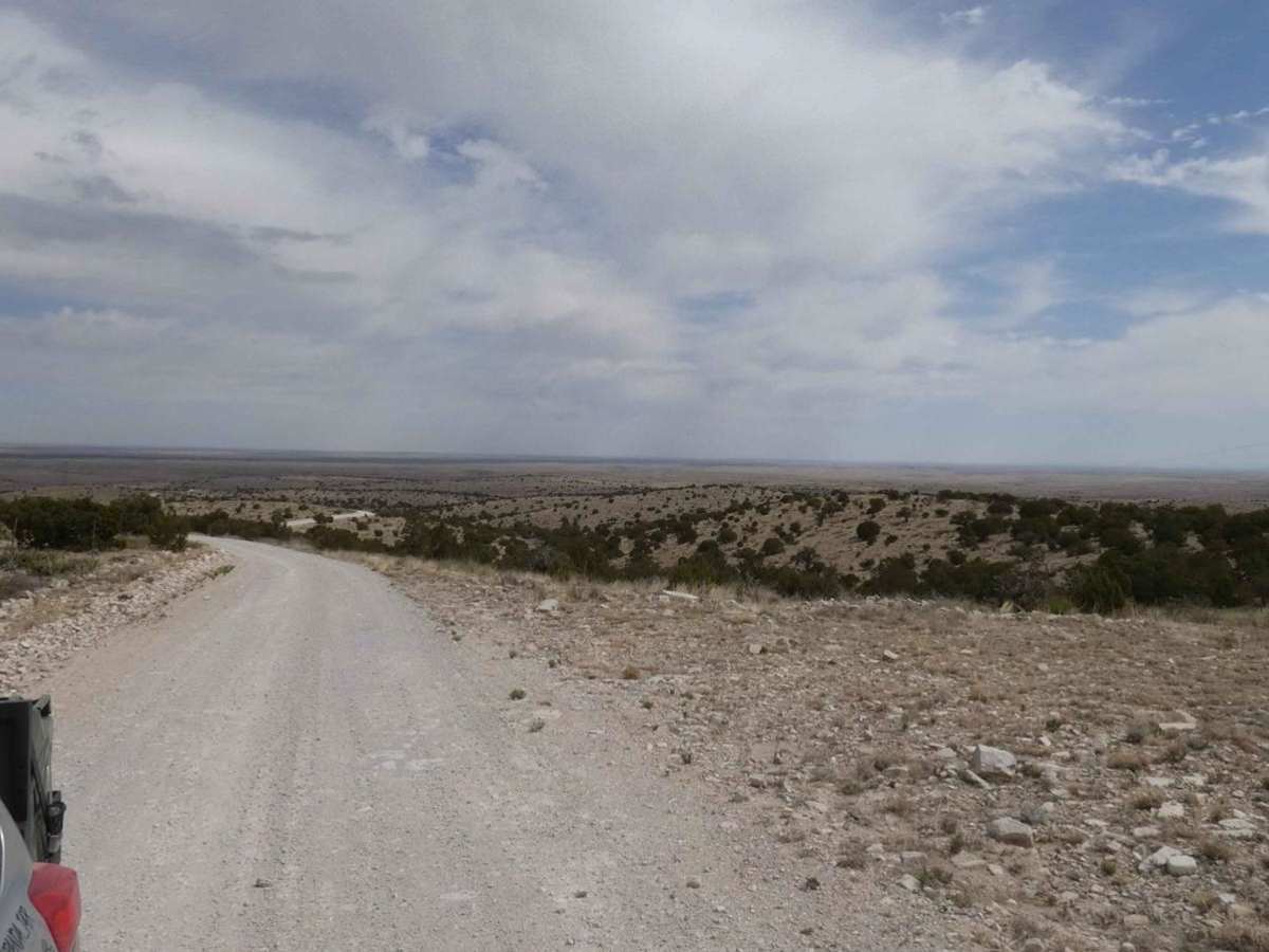
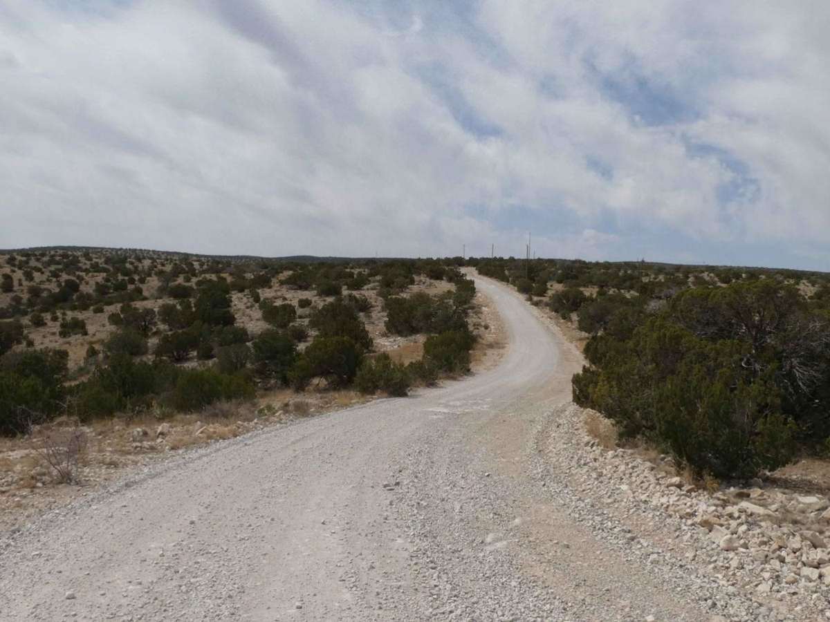
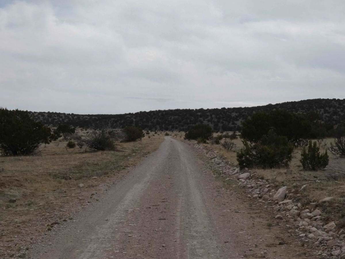
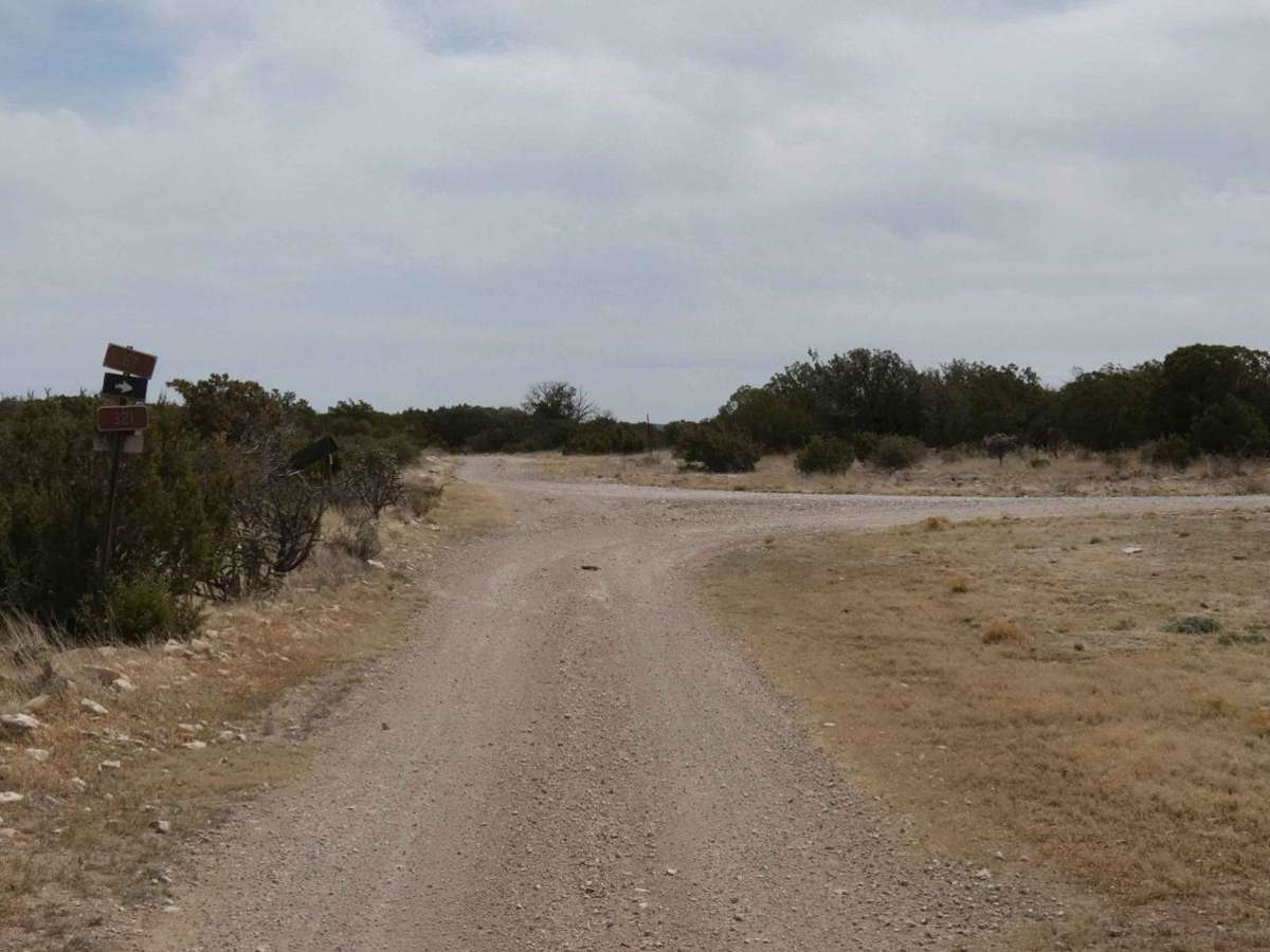
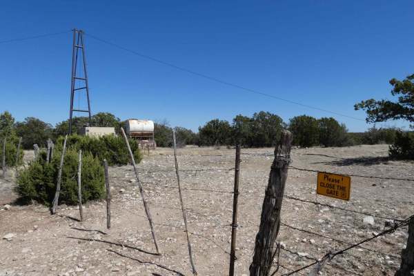
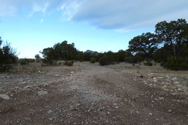
Guadalupe Rim Road runs almost the entire length of the Guadalupe Mountain Range of Lincoln National Forest. Located in the southeast portion of New Mexico, it lies just north of the Texas border and offers substantial views, variations in terrain, and dispersed camping opportunities. The road is just wide enough for two vehicles for a majority of the route with some areas being substantially wider. The surface is primarily rock and well-packed dirt with areas that are primarily dirt and show signs of being muddy after rain or snow. There are no obstacles larger than 8", and rock gardens are small and very minor rutting along with some low-lying areas prone to washing and potential shallow water crossings. The road is easily passable by most vehicles, although it can be very rough and loose rocks/gravel in certain areas, overall the road is an easy drive but recommends AWD or 4x4 vehicles. There is approximately a three-mile long stretch of the central portion of the road where views are wide open to the west, dropping lower in elevation to the north and south. There are several spurs off GRR that offer more exploring, dispersed camping opportunities, and hiking trails. Cell service is in and out throughout the route and amenities are very limited in the area so come prepared.