Prather Canyon
Total Miles
1.2
Technical Rating
Best Time
Spring, Summer, Fall, Winter
Trail Type
Full-Width Road
Accessible By
Trail Overview
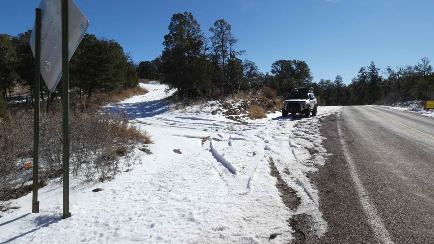
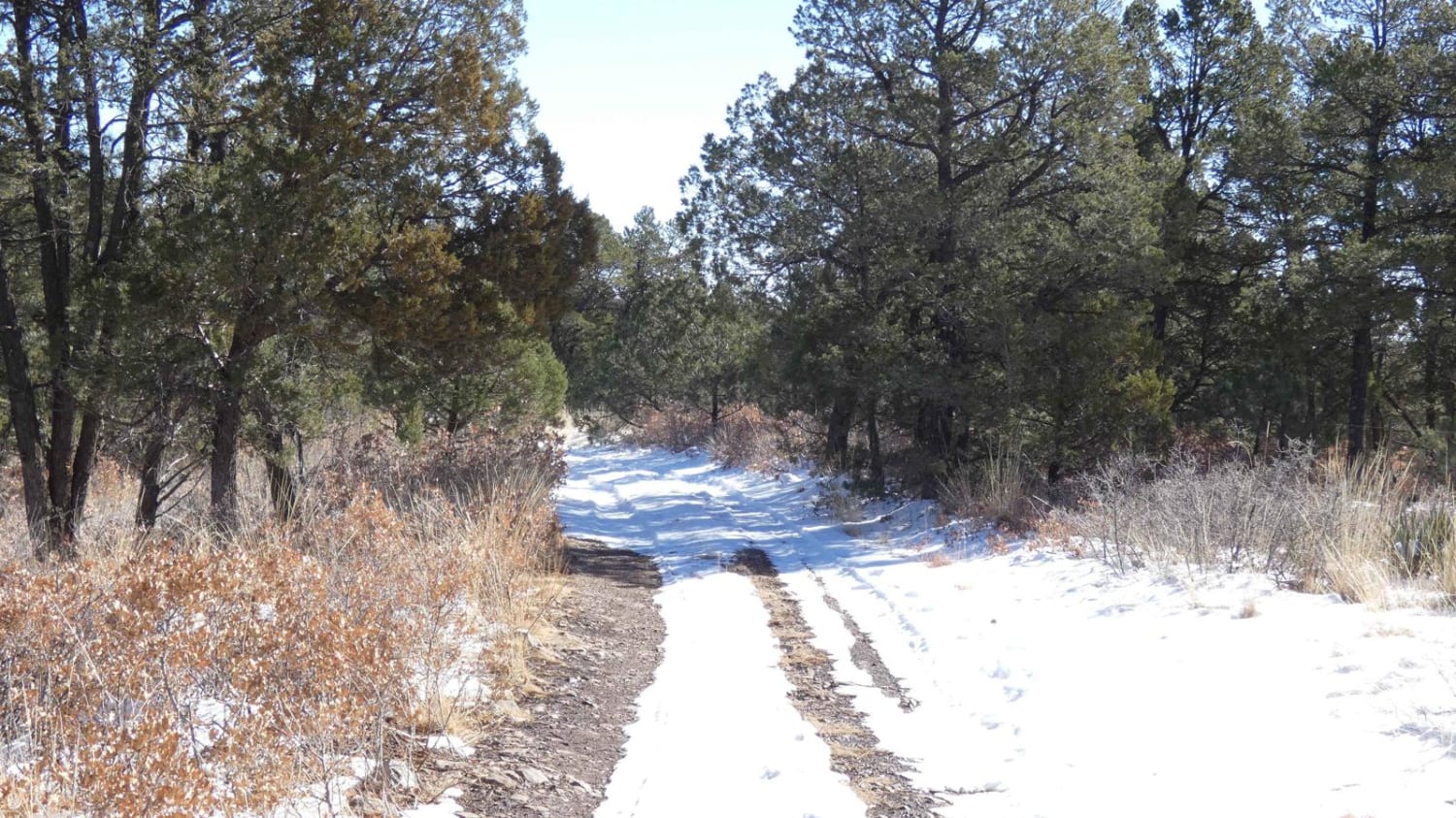
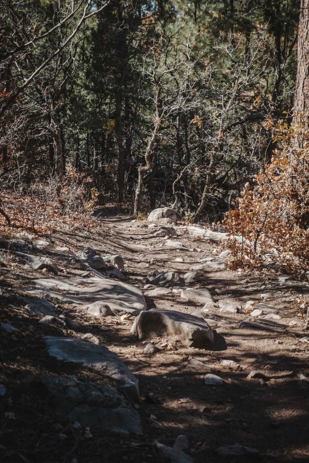
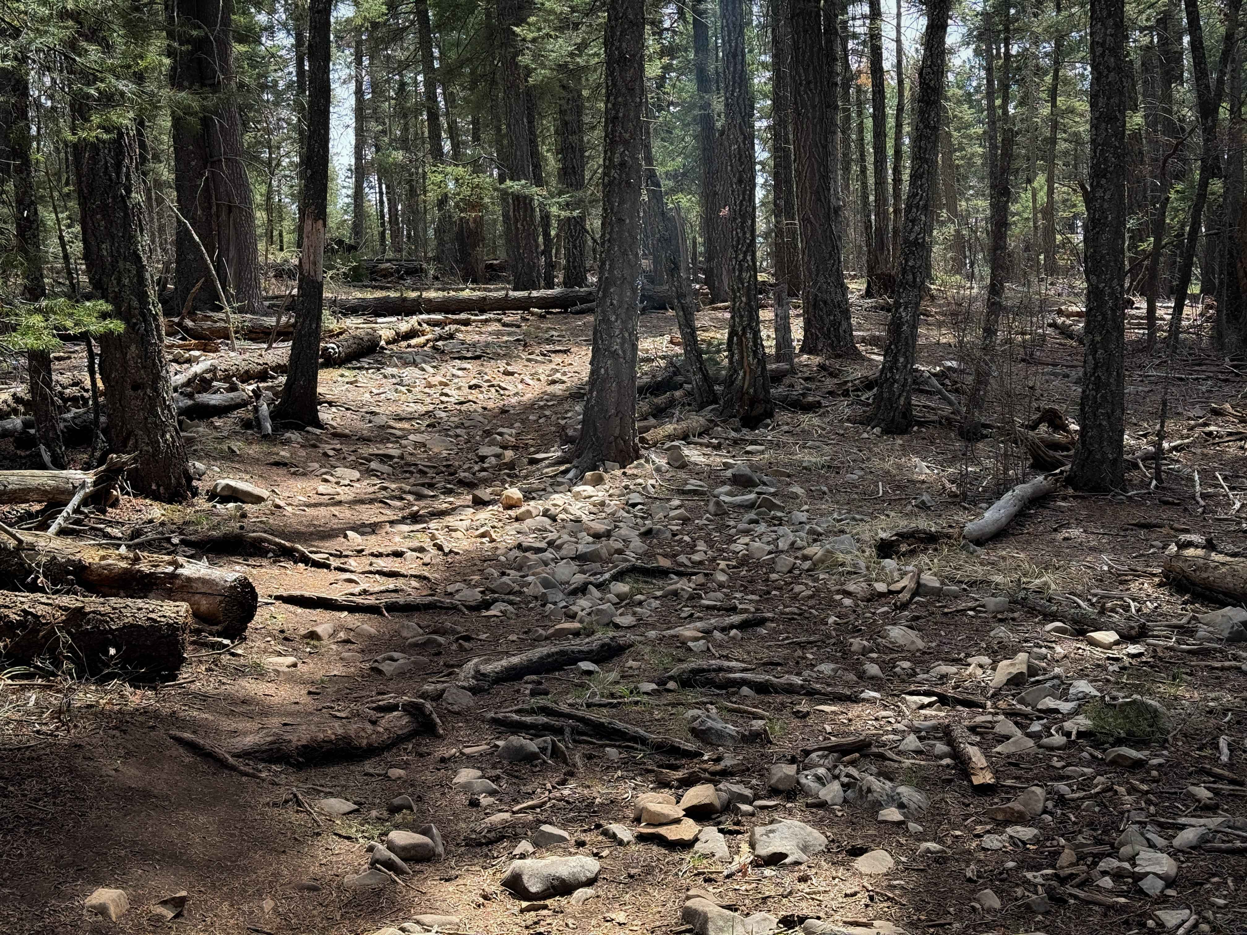
Prather Canyon trail entrance is located immediately off Highway 24 south of Mayhill, NM. The trail features a few dispersed campsites with spectacular views and good cell service. The surface changes from light rocks and dirt to a rocky surface with some rock gardens along the way, and some lightly rutted and muddy areas that will become worse with rain and snow melt. There are a few rocky grades, but the trail is easily accessible by most 4x4's even in the wintertime. The trail is primarily single-vehicle wide with a few places to pass or turn around, however, the trail ends 1.2 miles from the entrance with a posted notice from NFS.
Photos of Prather Canyon
Difficulty
Rocky surfaces may be slippery during winter snow or rain. Some obstacles may be up to 10".
Status Reports
Prather Canyon can be accessed by the following ride types:
- SUV
Prather Canyon Map
Popular Trails

Dalton Canyon Loop

Silver Monument
Pines North Trail
The onX Offroad Difference
onX Offroad combines trail photos, descriptions, difficulty ratings, width restrictions, seasonality, and more in a user-friendly interface. Available on all devices, with offline access and full compatibility with CarPlay and Android Auto. Discover what you’re missing today!