Guaje Canyon
Total Miles
4.0
Technical Rating
Best Time
Spring, Summer, Fall
Trail Type
Full-Width Road
Accessible By
Trail Overview
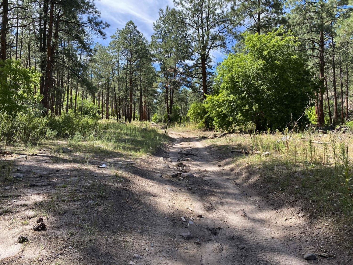
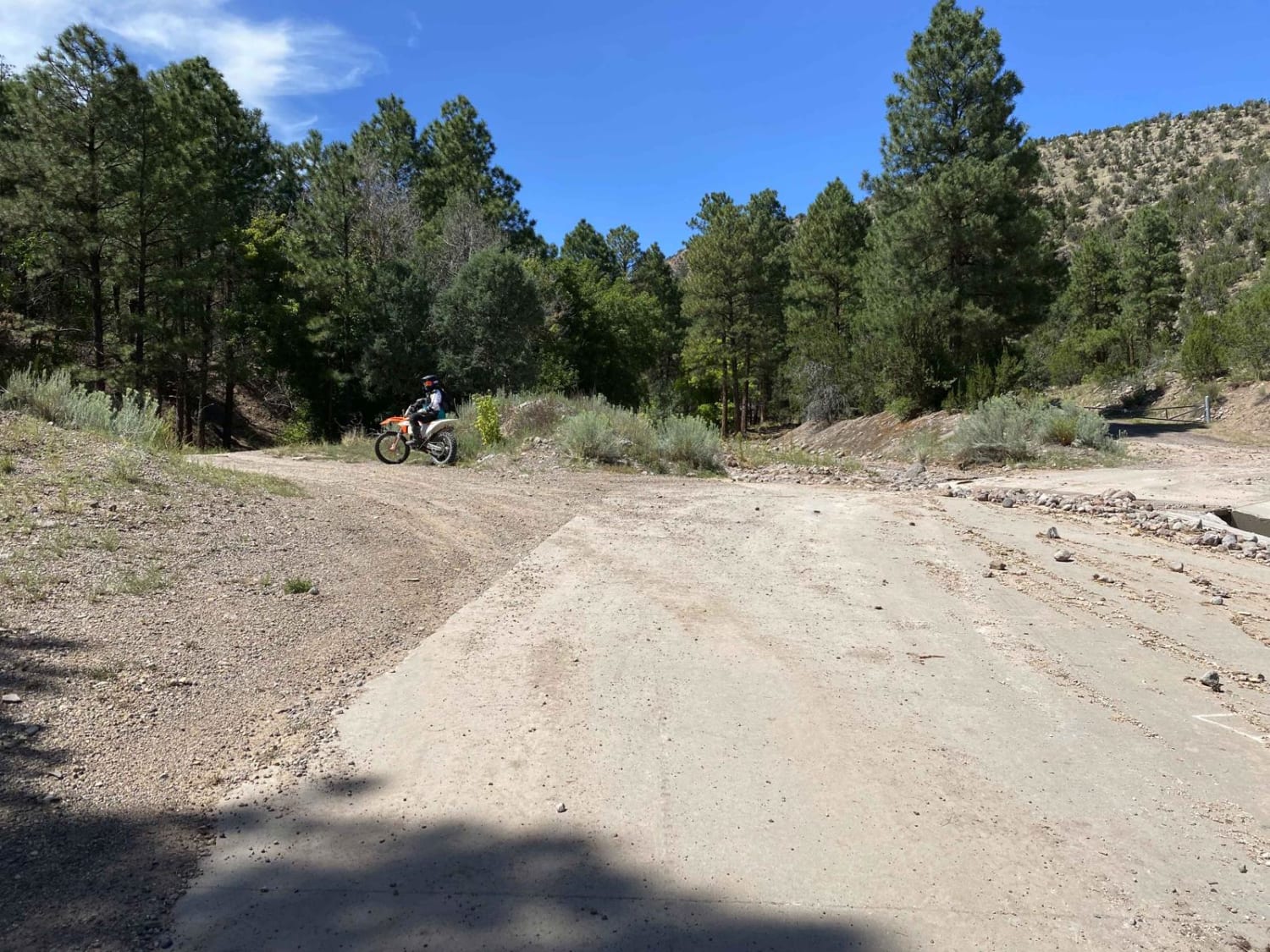
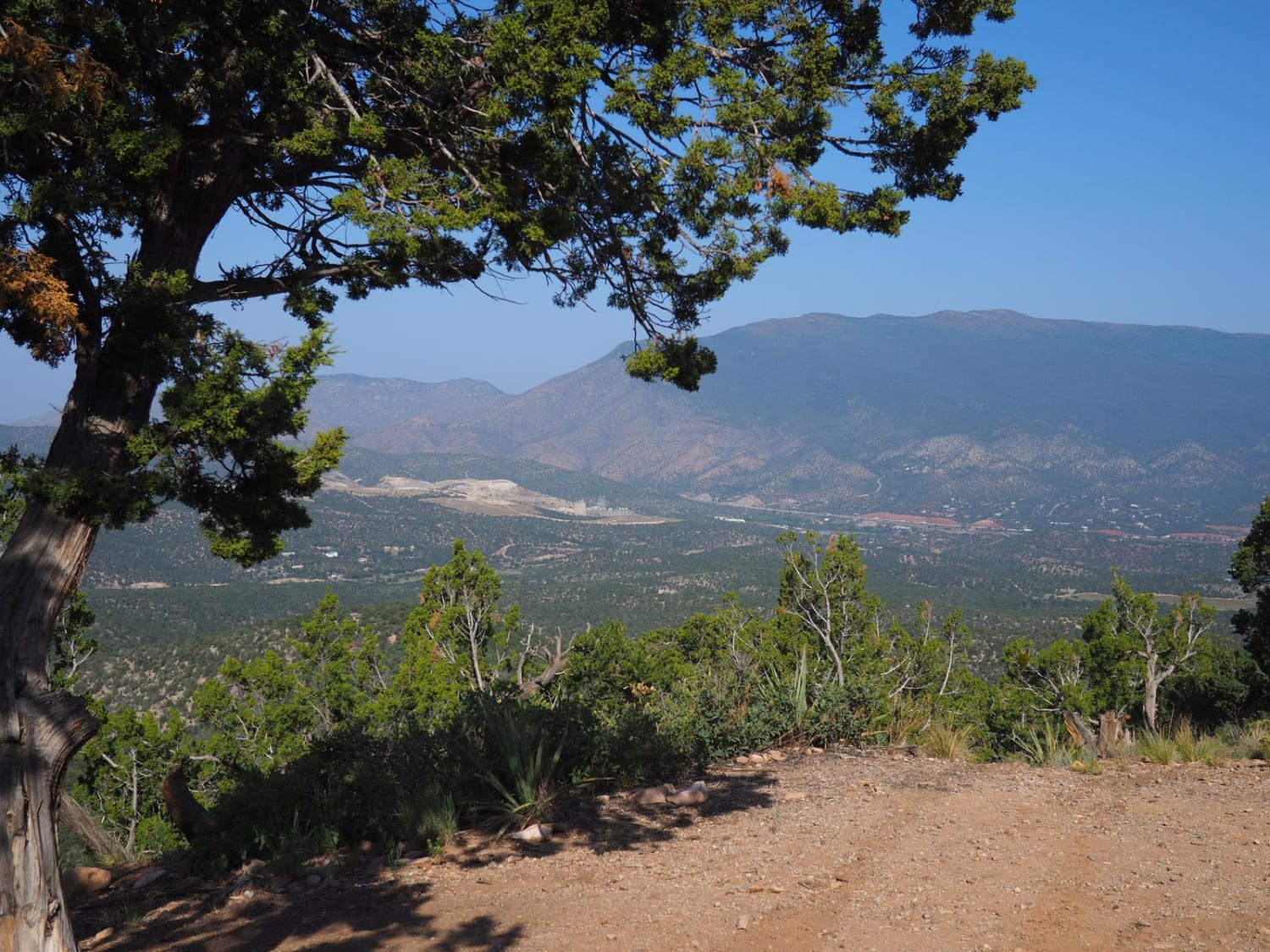
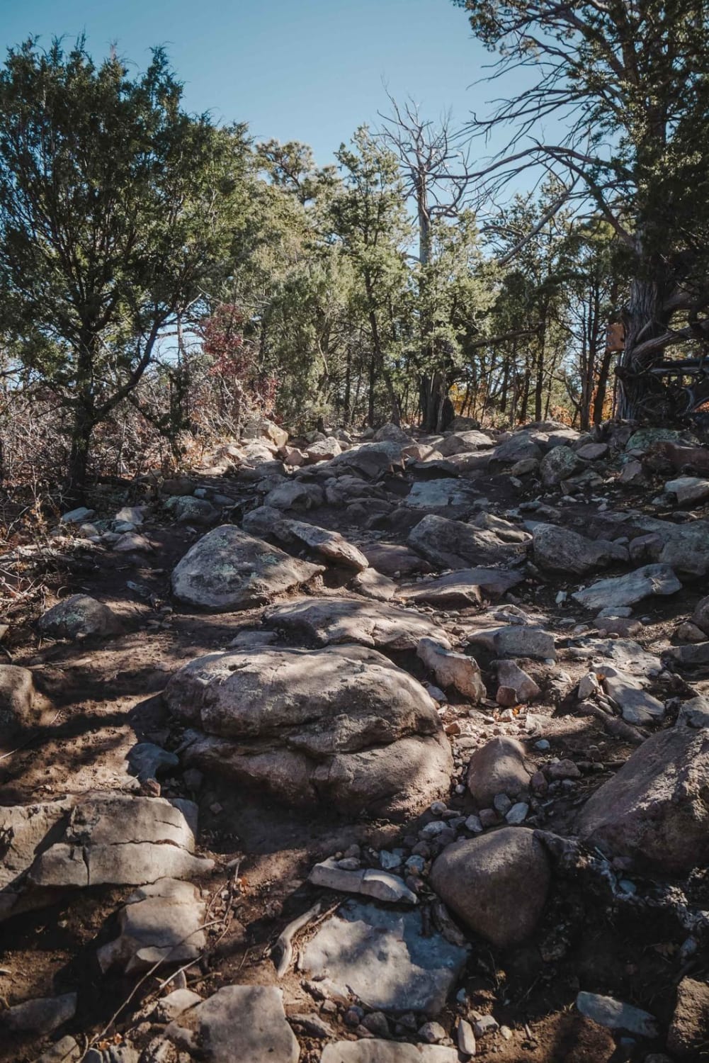
Guaje Canyon trail is marked as Forest Service Trail #282. The trailhead is easy to find at the bottom of Rendija Canyon and traverses the canyon bottom towards Camp May. You will travel through the burn scar created by the May 2000 Cerro Grande fire. The fires resulted in repeated flooding and damage to the canyon bottom. Expect moderate boulder fields and log jams caused by the flash floods making your way up to the exit Guaje Connector trail. There is typically a small stream of water flowing through the canyon.
Photos of Guaje Canyon
Difficulty
Small boulder fields, log jams and down trees are possible as flooding can occur and change the terrain. There are some tight spots with trees.
Status Reports
Guaje Canyon can be accessed by the following ride types:
- High-Clearance 4x4
- SUV
- SxS (60")
- ATV (50")
- Dirt Bike
Guaje Canyon Map
Popular Trails
Largo Canyon to Crow Canyon
Cedro Peak Loop via FR 542
Oak Flat Connector
The onX Offroad Difference
onX Offroad combines trail photos, descriptions, difficulty ratings, width restrictions, seasonality, and more in a user-friendly interface. Available on all devices, with offline access and full compatibility with CarPlay and Android Auto. Discover what you’re missing today!