Francis Canyon Pueblito
Total Miles
12.2
Technical Rating
Best Time
Spring, Summer
Trail Type
Full-Width Road
Accessible By
Trail Overview
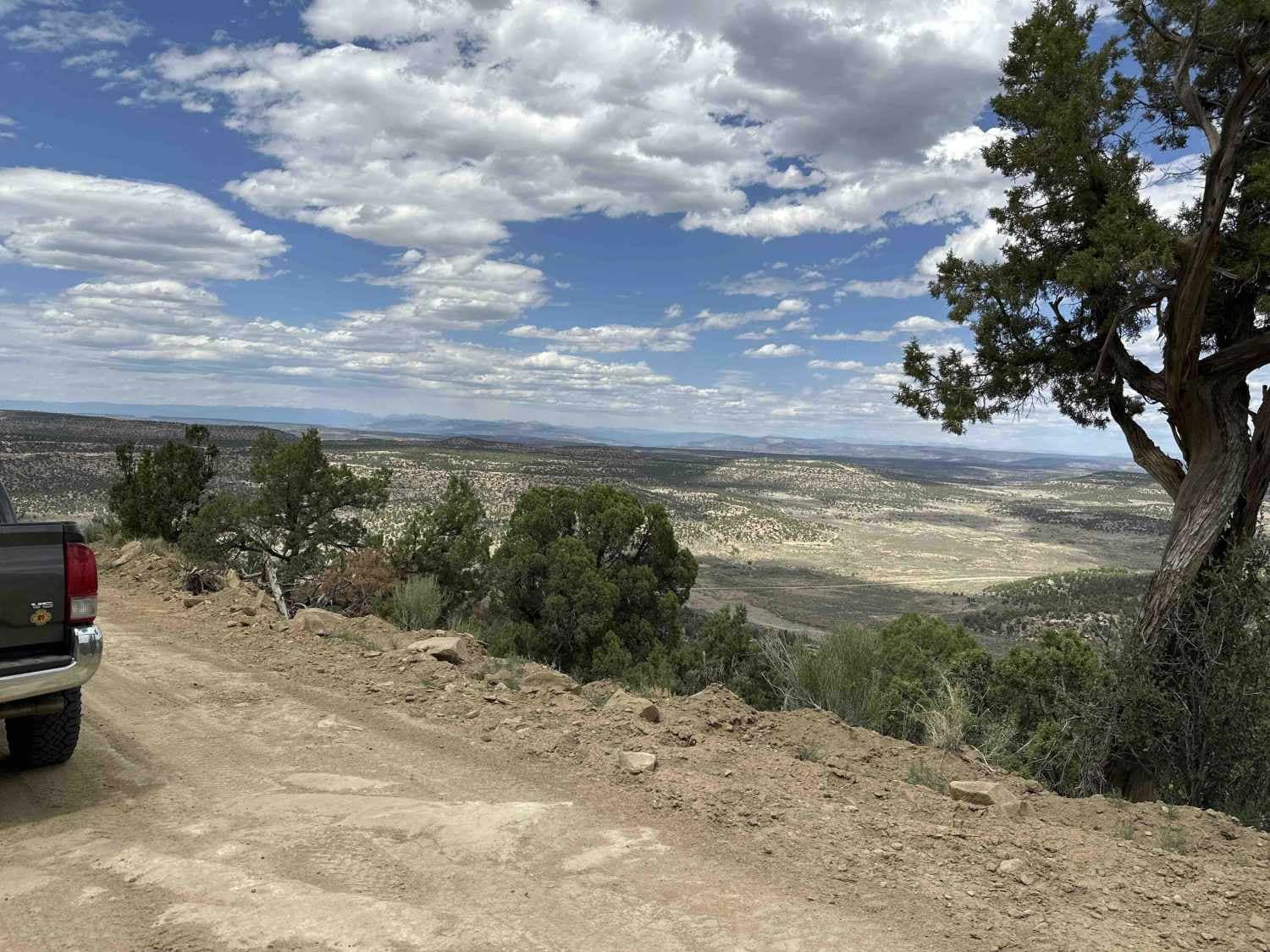
Starting on 539 just south of where it goes across the dam, you'll head up Francis Mesa Road and over Smith Pass to the top of the mesa. There is some rough exposed rock on both the ascent and descent from the mesa as well as some stretches of road with heavy sand, but careful route selection during good weather makes this route accessible to most types of vehicles. Upon reaching the top of the mesa, the road runs through juniper and pinon pine, look out for quail, deer and the odd chipmunk scampering across the road. About 8 1/2 miles from the west end of the trail there's a sign marking the turn-off for the Frances Canyon Pueblito site. The trail to get to the Pueblito is only 1/10 of a mile, sign the guest book and head down to take a look at the informational plaques explaining the original layout of the 40+ room Pueblito.
Photos of Francis Canyon Pueblito
Difficulty
This trail has fairly steep climbs, areas of exposed rock in the road and areas where the road narrows to one vehicle's width. The addition of rain or snow would increase the difficulty of this trail, as it is unmaintained.
History
Quite a few years there was a big push to make the Pueblitos more accessible to the general public and for the sites to be better maintained; however, due to how generally remote the Pueblitos are and the cost of maintaining the sites, the improvements have become overgrown and the roads leading to parking areas and trails have disappeared entirely or deteriorated into two-rut tracks across the desert.
Status Reports
Francis Canyon Pueblito can be accessed by the following ride types:
- High-Clearance 4x4
- SUV
- SxS (60")
- ATV (50")
- Dirt Bike
Francis Canyon Pueblito Map
Popular Trails
FS 4090 B Evacuation Route

Cerro Pelon Base
Peaceful Path - FR 194

Sand Wash ATV
The onX Offroad Difference
onX Offroad combines trail photos, descriptions, difficulty ratings, width restrictions, seasonality, and more in a user-friendly interface. Available on all devices, with offline access and full compatibility with CarPlay and Android Auto. Discover what you’re missing today!
