Greenie Peak to Red River - FS 54K
Total Miles
1.5
Technical Rating
Best Time
Spring, Summer, Fall
Trail Type
High-Clearance 4x4 Trail
Accessible By
Trail Overview
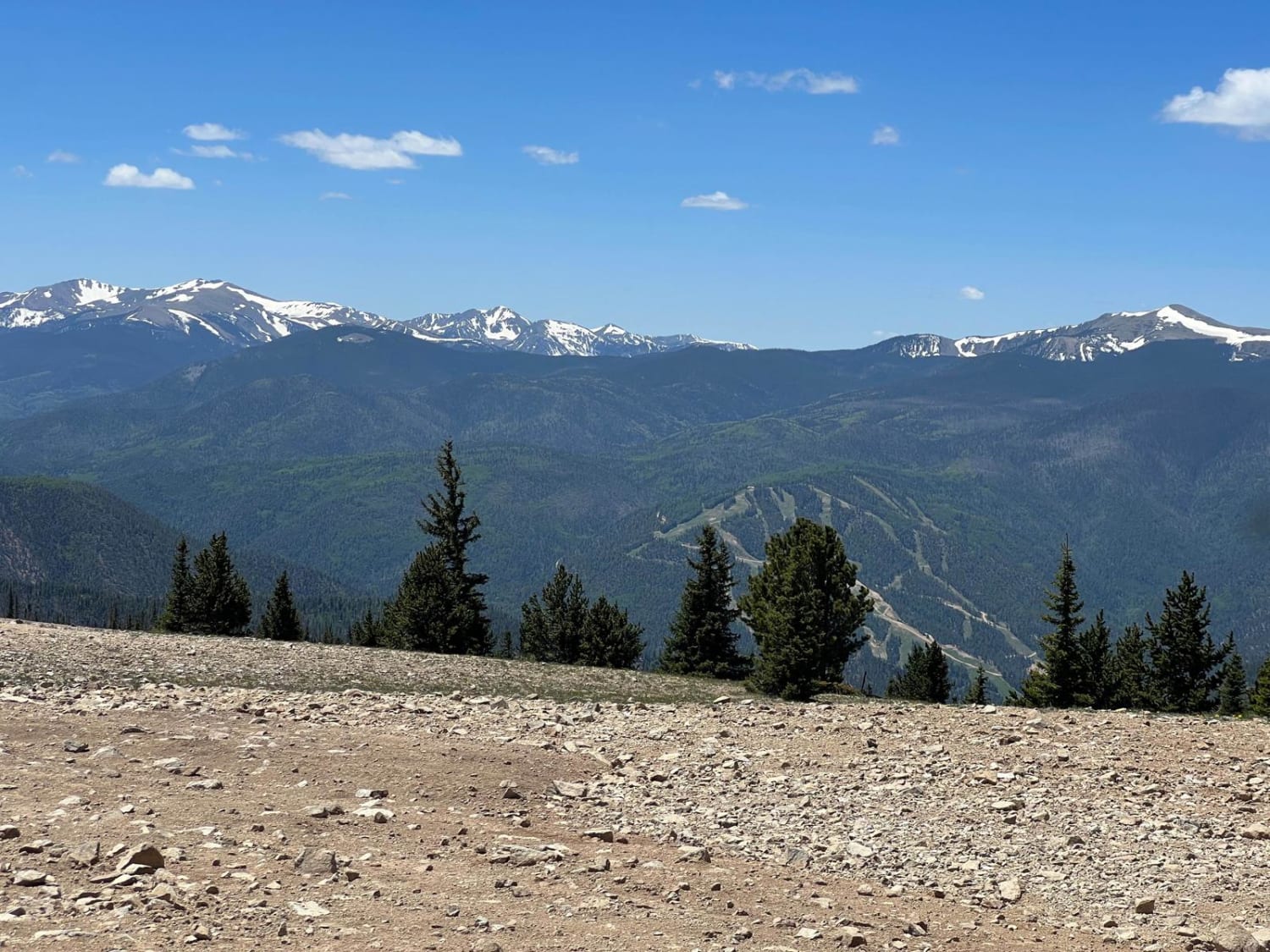
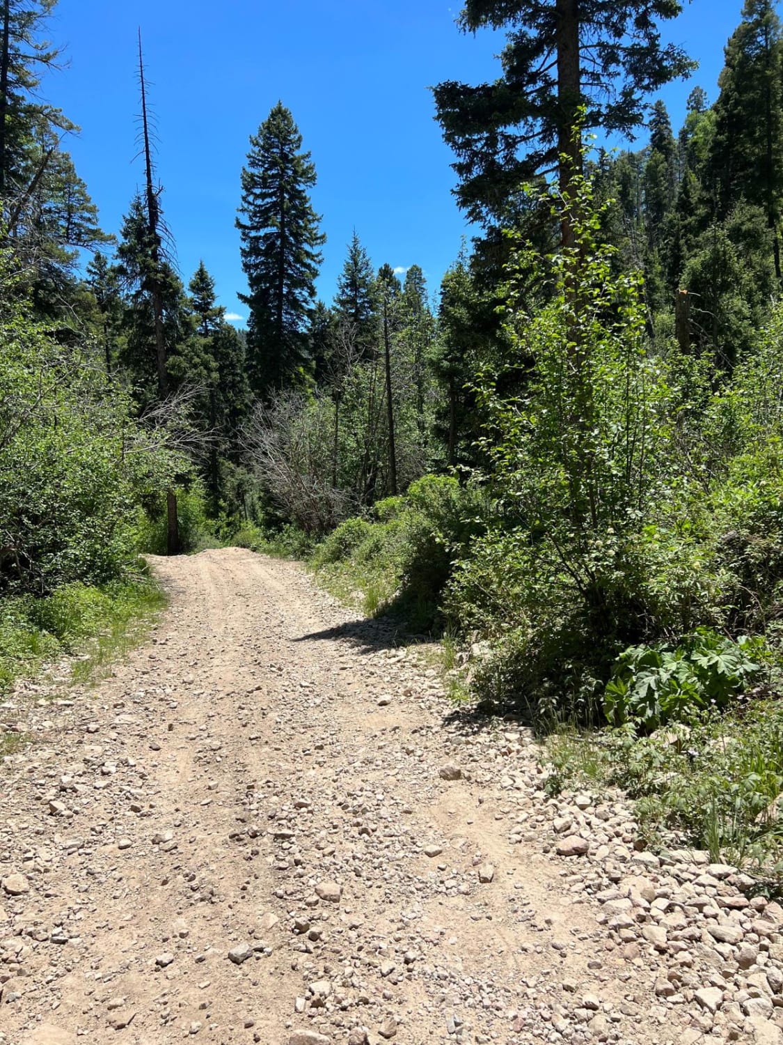
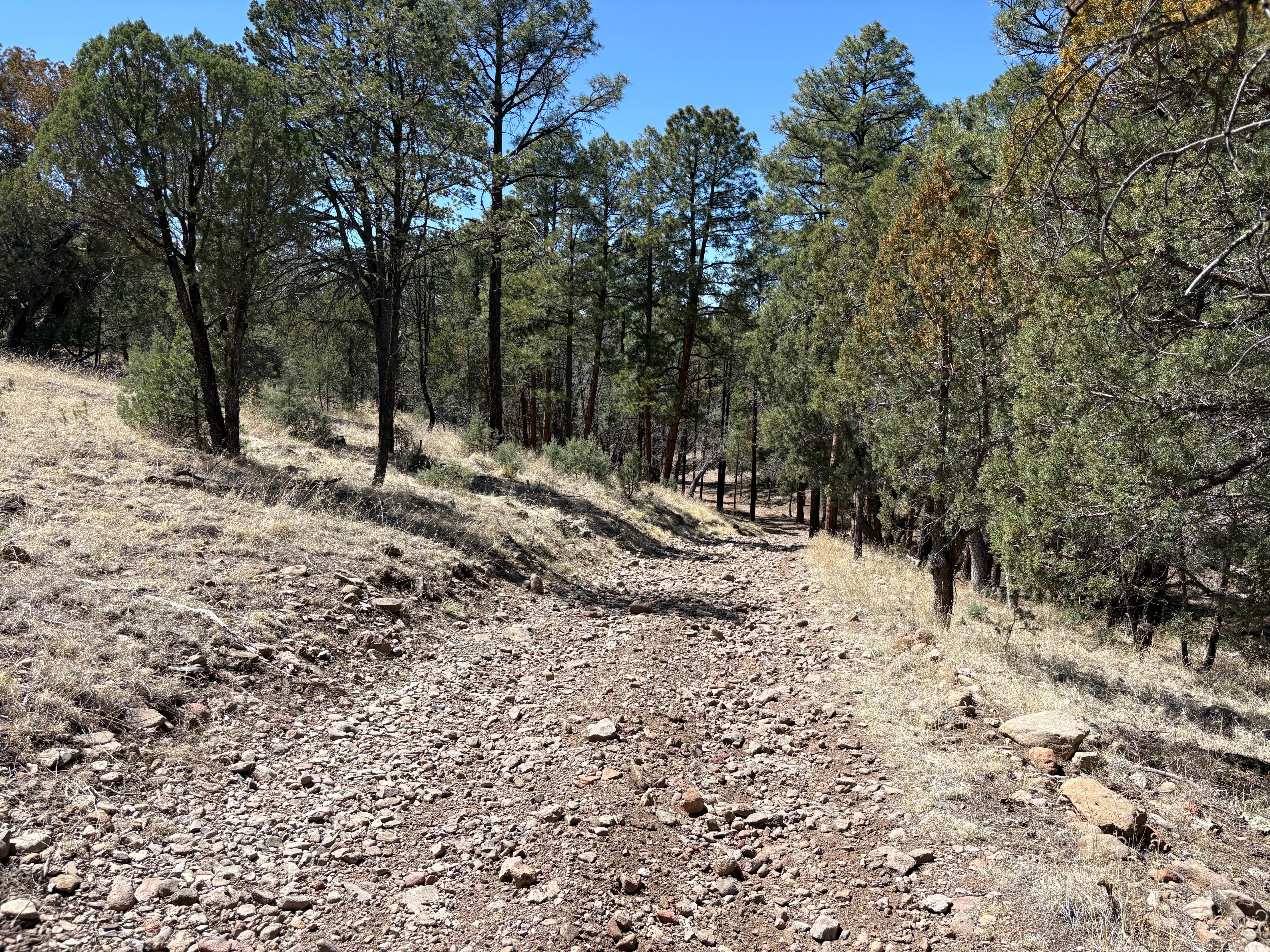
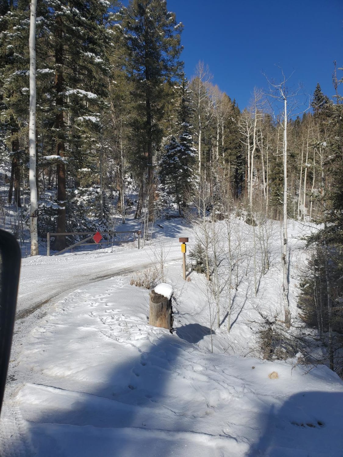
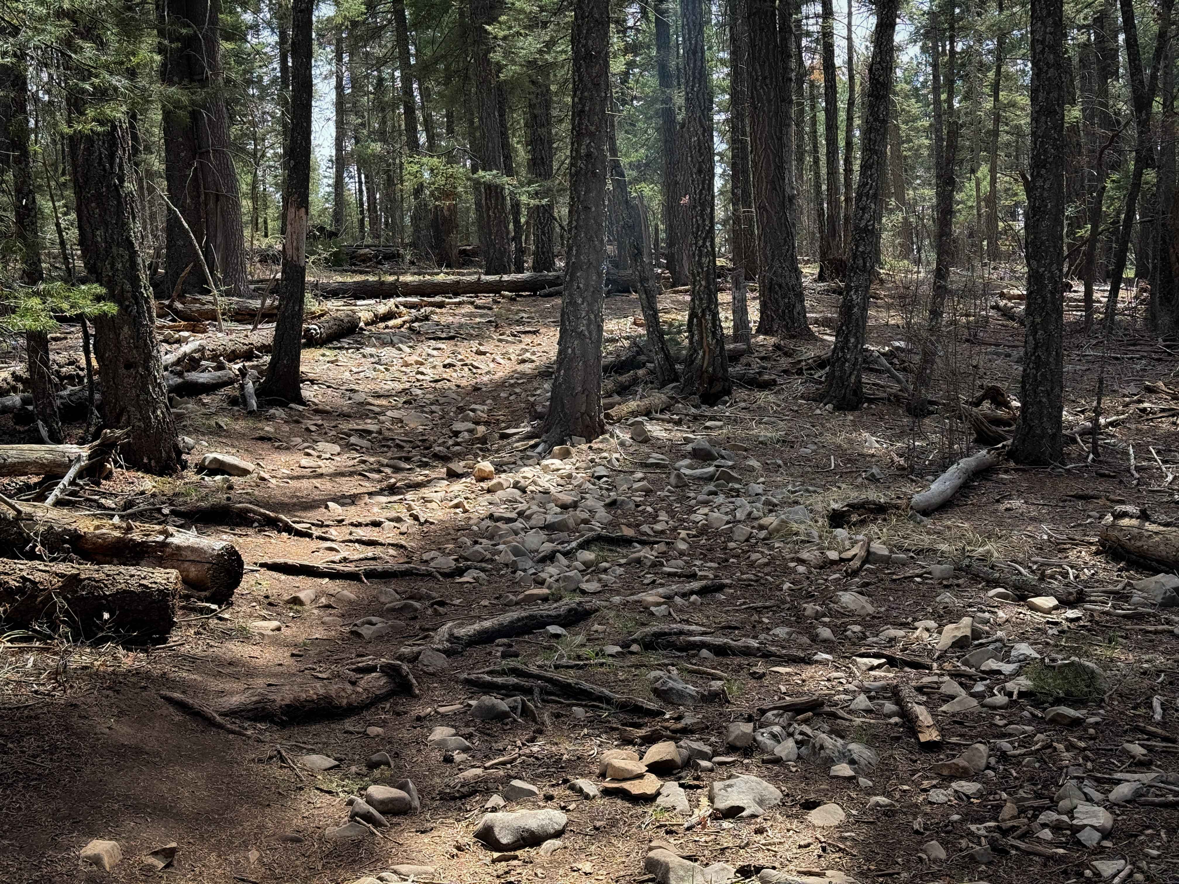
Forest Service Road 54K is a narrow and very steep trail that descends from Greenie Peak to the town of Red River, New Mexico. This windy road down the hill from Greenie Peak consists of loose gravel and dirt. Some areas are very steep and narrow and require extreme caution. 4WD vehicles with short wheelbases are highly recommended due to sharp turns and very narrow trails. This two-way trail is heavily trafficked by SxSs and may require careful maneuvers when coming across due to the narrow trail. Some parts of the trail diverge into two trails, which then converge back into the same trail. Choose the fork on the road carefully as the road less traveled may lead to off-camber sections or very steep and gravelly roads that can be slippery. There are wild chipmunks and birds including hummingbirds, some species of dove, and if you're lucky, bald eagles. The views along the trail of the Sangre de Cristo Mountain range are stunning and worth the challenge. There are no toilets available on the trail. There are very few primitive campsite locations along the route due to the mountainous terrain and lack of pull-off locations resulting from the narrow trail.
Photos of Greenie Peak to Red River - FS 54K
Difficulty
This is a narrow and very steep trail consisting of loose gravel and dirt.
Status Reports
Greenie Peak to Red River - FS 54K can be accessed by the following ride types:
- High-Clearance 4x4
- SxS (60")
Greenie Peak to Red River - FS 54K Map
Popular Trails
Lincoln Canyon Road - FS 4079T

5 Canyon Pass
Greenie East
Pines North Trail
The onX Offroad Difference
onX Offroad combines trail photos, descriptions, difficulty ratings, width restrictions, seasonality, and more in a user-friendly interface. Available on all devices, with offline access and full compatibility with CarPlay and Android Auto. Discover what you’re missing today!