Greenie Peak via Cabresto Canyon - FS 54
Total Miles
2.2
Technical Rating
Best Time
Spring, Summer, Fall
Trail Type
High-Clearance 4x4 Trail
Accessible By
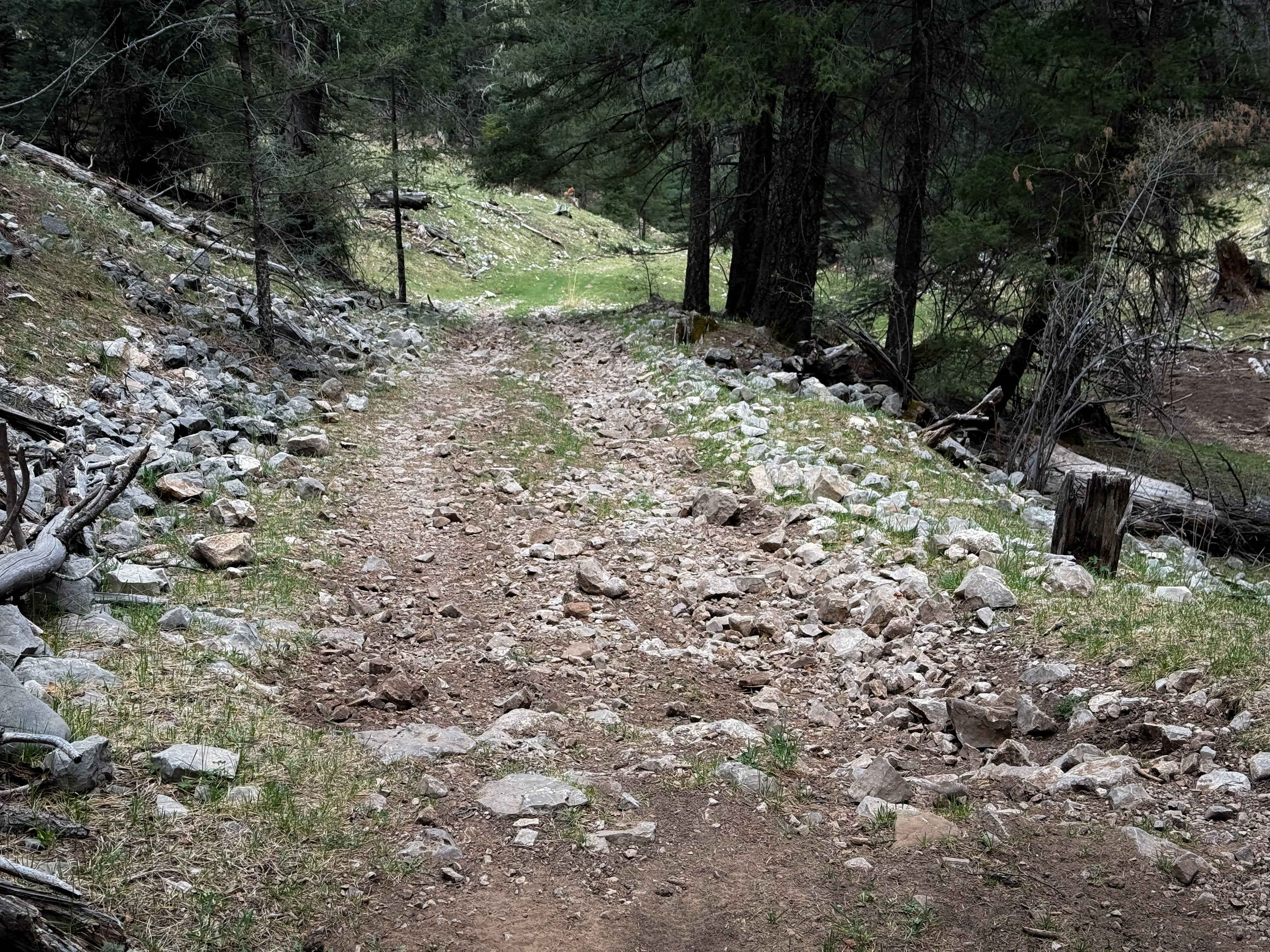
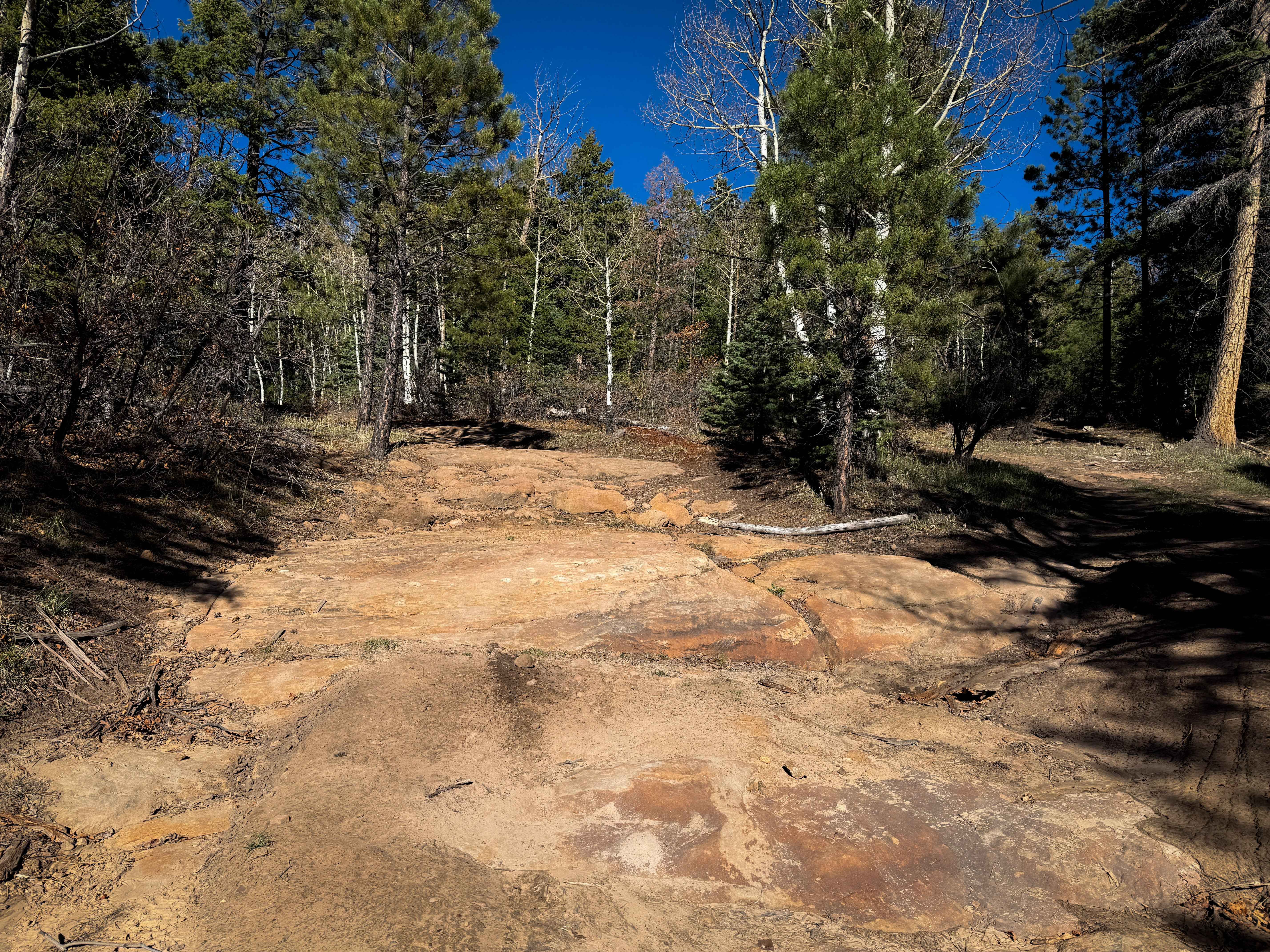
Trail Overview
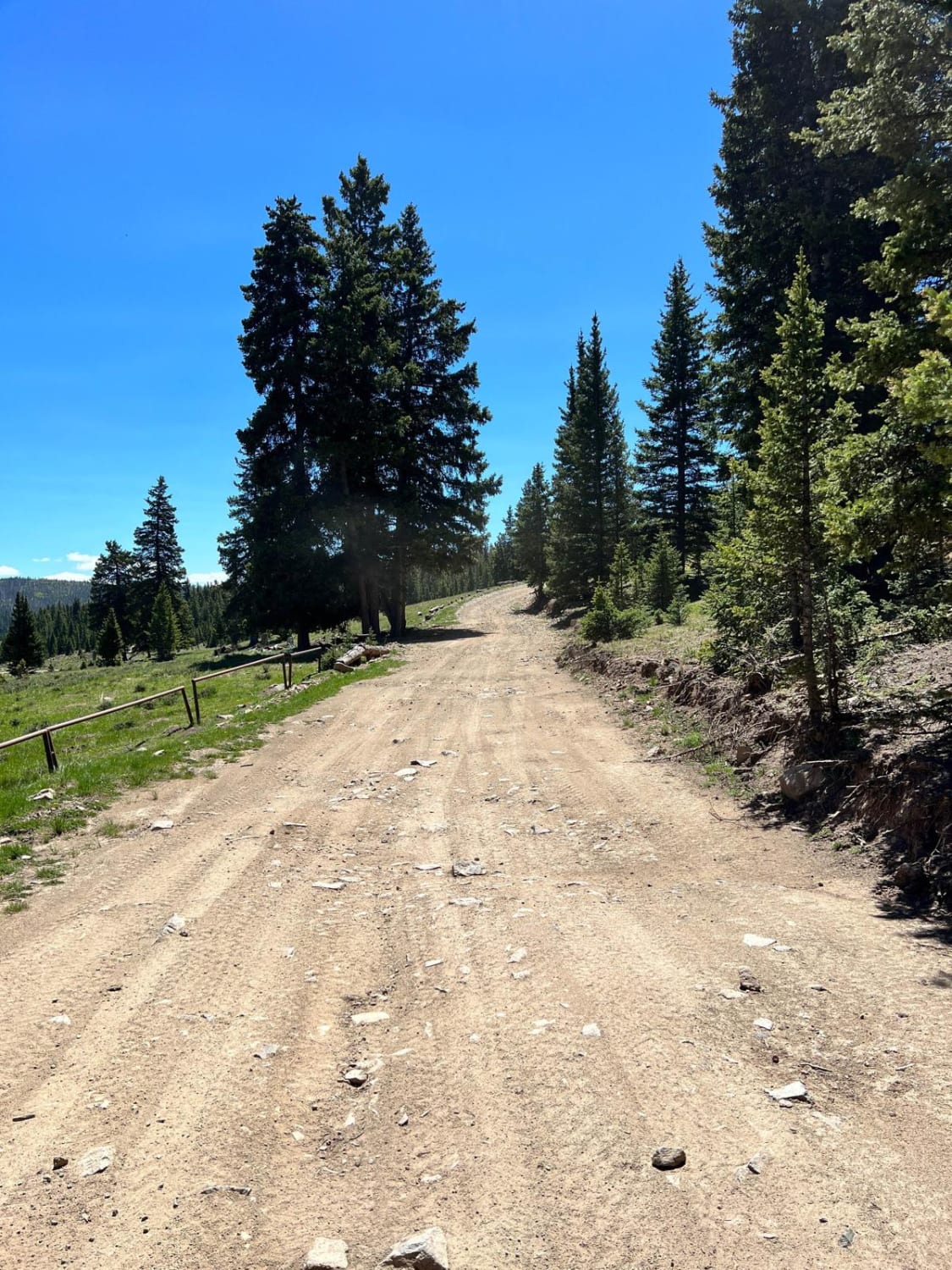
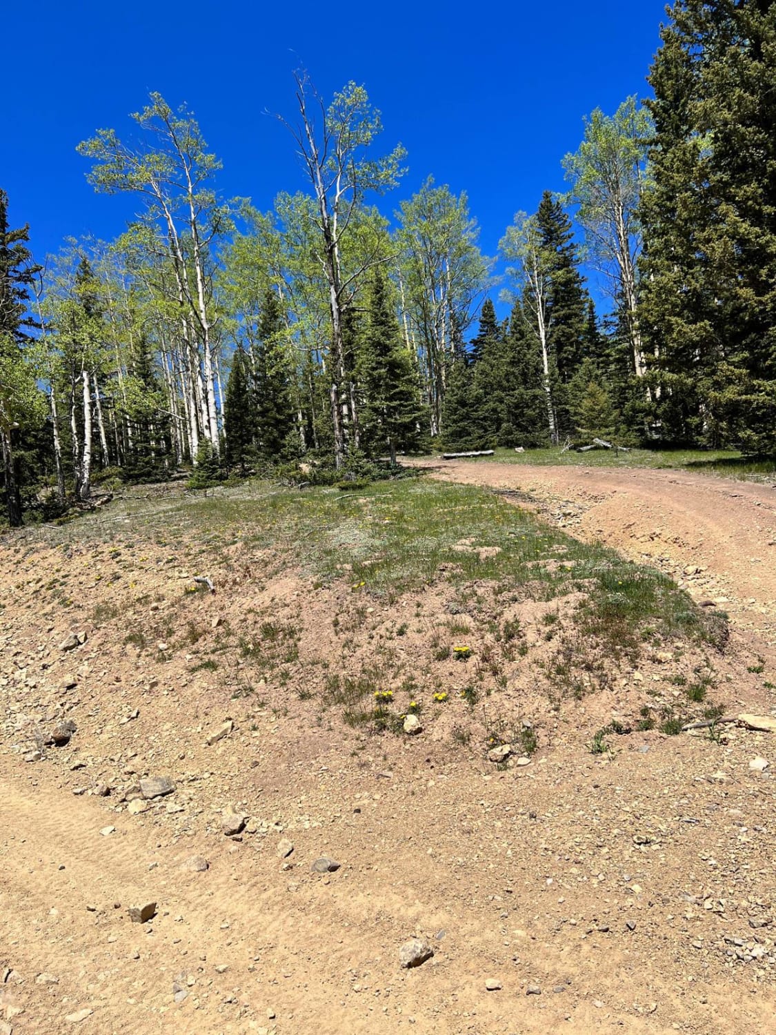
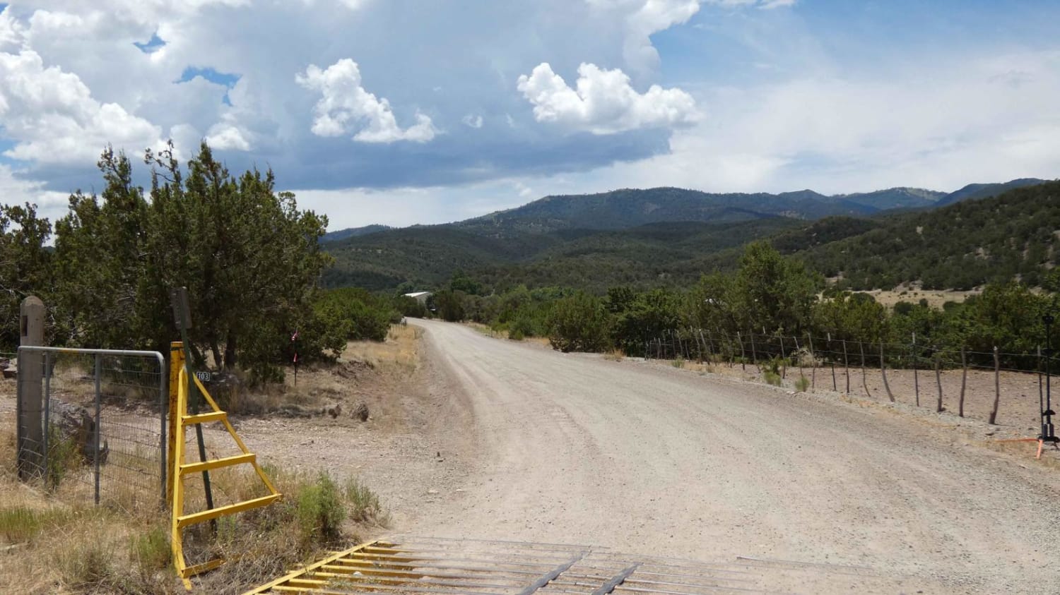
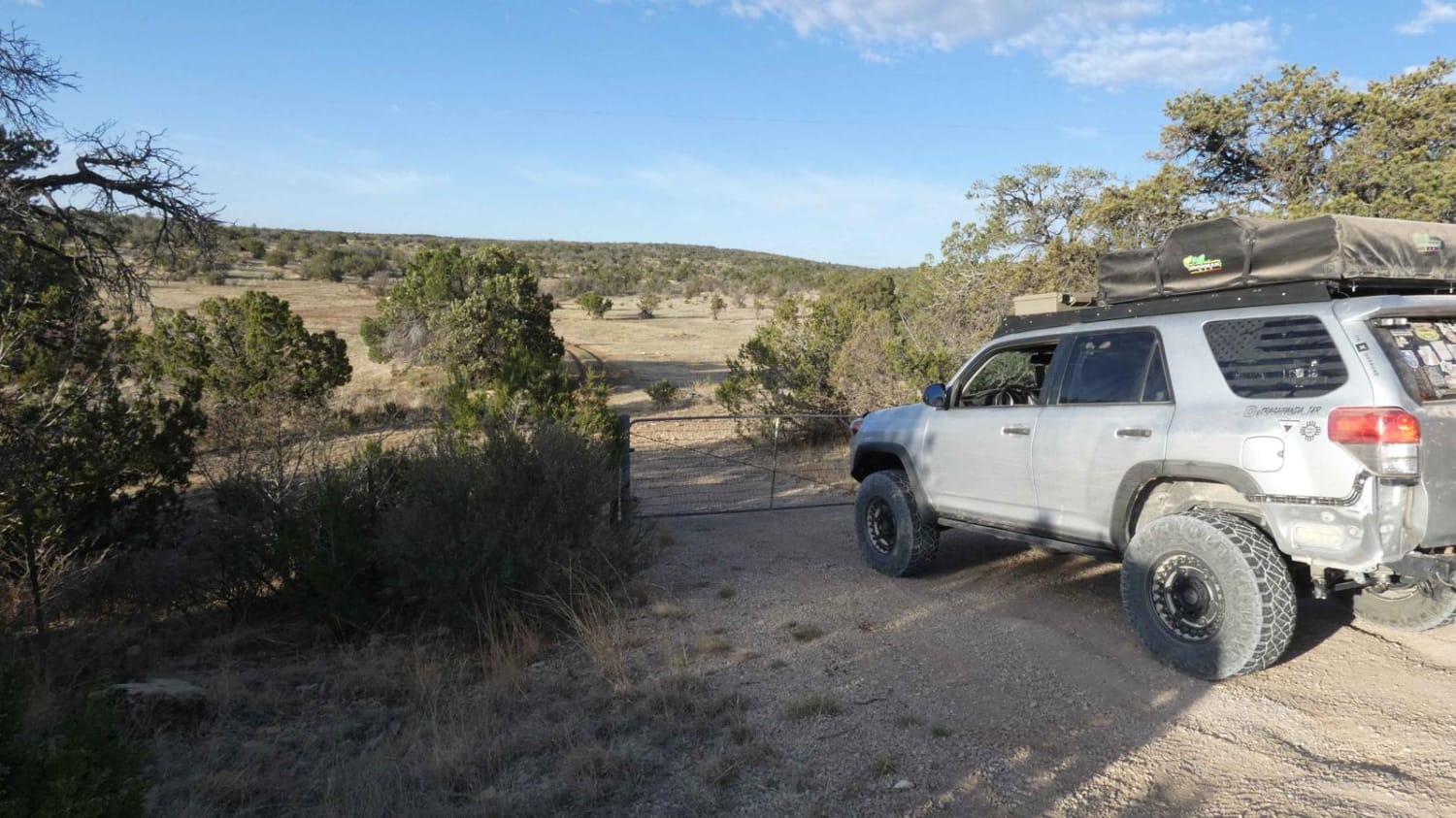
Forest Service Road 54 and 54D is a gradual ascent from Cabresto Canyon to Greenie Peak in Carson National Forest. The windy road up the peak is rocky, steep in some areas, and very narrow. The trail is a popular route for adventure SxS riders in the area. 4WD vehicles with short wheelbases are highly recommended due to sharp turns and very narrow trails. There are wild chipmunks and birds including hummingbirds, some species of dove, and if you're lucky, bald eagles. At the top of Greenie Peak, you will be welcomed by a large open area with stunning views of the Sangre de Cristo Mountain range and Red River Ski Resort in the nearby town of Red River, New Mexico. There are no toilets available on the trail. There are very few primitive campsite locations along the route due to the mountainous terrain and lack of pull-off locations resulting from the narrow trail.
Photos of Greenie Peak via Cabresto Canyon - FS 54
Difficulty
This trail is rocky, steep in some areas, and very narrow.
Status Reports
Greenie Peak via Cabresto Canyon - FS 54 can be accessed by the following ride types:
- High-Clearance 4x4
- SxS (60")
Greenie Peak via Cabresto Canyon - FS 54 Map
Popular Trails
Nogal Canyon FSR-400
Schofield Canyon Trail - FS 5007A
The onX Offroad Difference
onX Offroad combines trail photos, descriptions, difficulty ratings, width restrictions, seasonality, and more in a user-friendly interface. Available on all devices, with offline access and full compatibility with CarPlay and Android Auto. Discover what you’re missing today!