Kuykendal
Total Miles
5.2
Technical Rating
Best Time
Spring, Summer, Fall, Winter
Trail Type
Full-Width Road
Accessible By
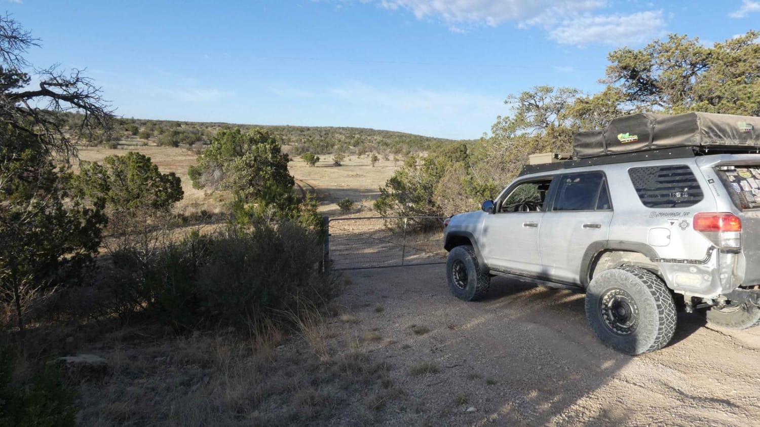
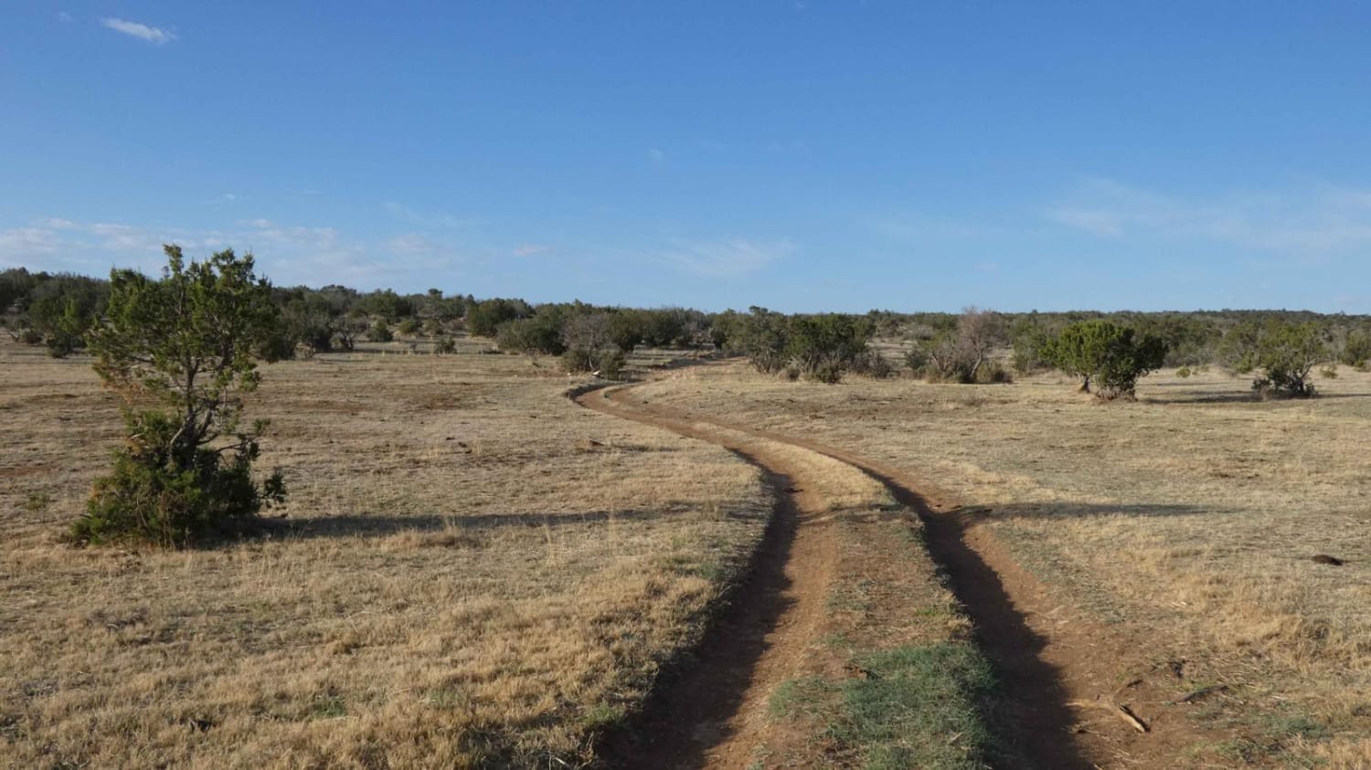
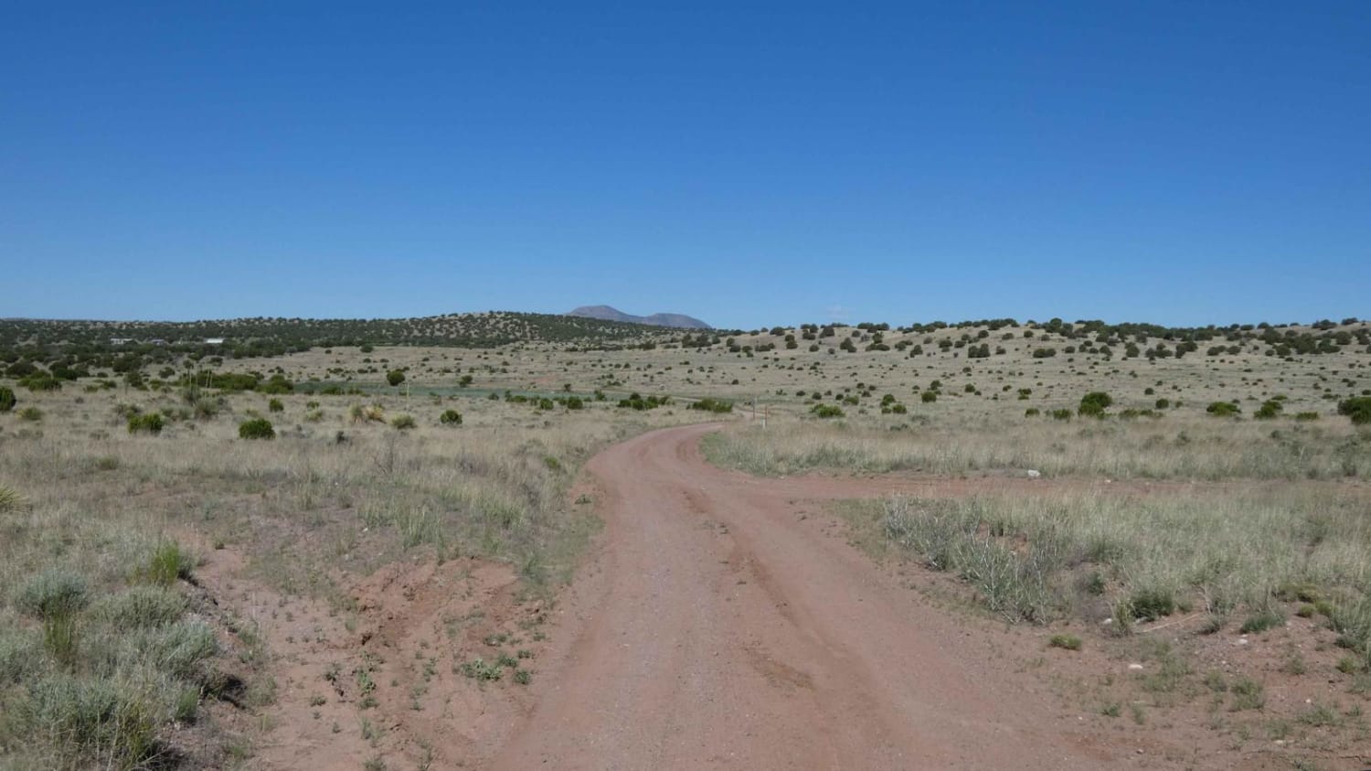
Trail Overview
Kuykendal is a combination of dirt and rock that will be easily accessible by most 4x4 and AWD vehicles and provides wide open views and numerous areas to disperse camp. While primarily single vehicle wide, there is substantial room to pass if needed. There is some rutting present with a few low-lying areas that will be muddy after rain and possibly shallow water crossings. Several rock gardens are scattered through the trail, however, there are no obstacles larger than 12 inches. The trail connects from CR137/Queens HWY and runs south to FS540/Scenic Drive. Wildlife is abundant and active in the area and ranges from elk and deer to bobcats and coyotes. There are cattle in the area that frequent the roadway towards the northern end of the trail. Cell service is fairly strong at the north end, becoming slightly weaker towards the south.
Photos of Kuykendal
Difficulty
You will come across rock gardens with obstacles under 12", rutting, and potential shallow water crossings.
Status Reports
Kuykendal can be accessed by the following ride types:
- High-Clearance 4x4
- SUV
- SxS (60")
- ATV (50")
- Dirt Bike
Kuykendal Map
Popular Trails
Arroyo Montosa FS 10A

FR103 Run to Rio Puerco

Cow Creek Loop
Big Rock View
The onX Offroad Difference
onX Offroad combines trail photos, descriptions, difficulty ratings, width restrictions, seasonality, and more in a user-friendly interface. Available on all devices, with offline access and full compatibility with CarPlay and Android Auto. Discover what you’re missing today!