Eureka East
Total Miles
0.7
Technical Rating
Best Time
Summer, Spring, Fall
Trail Type
50" Trail
Accessible By
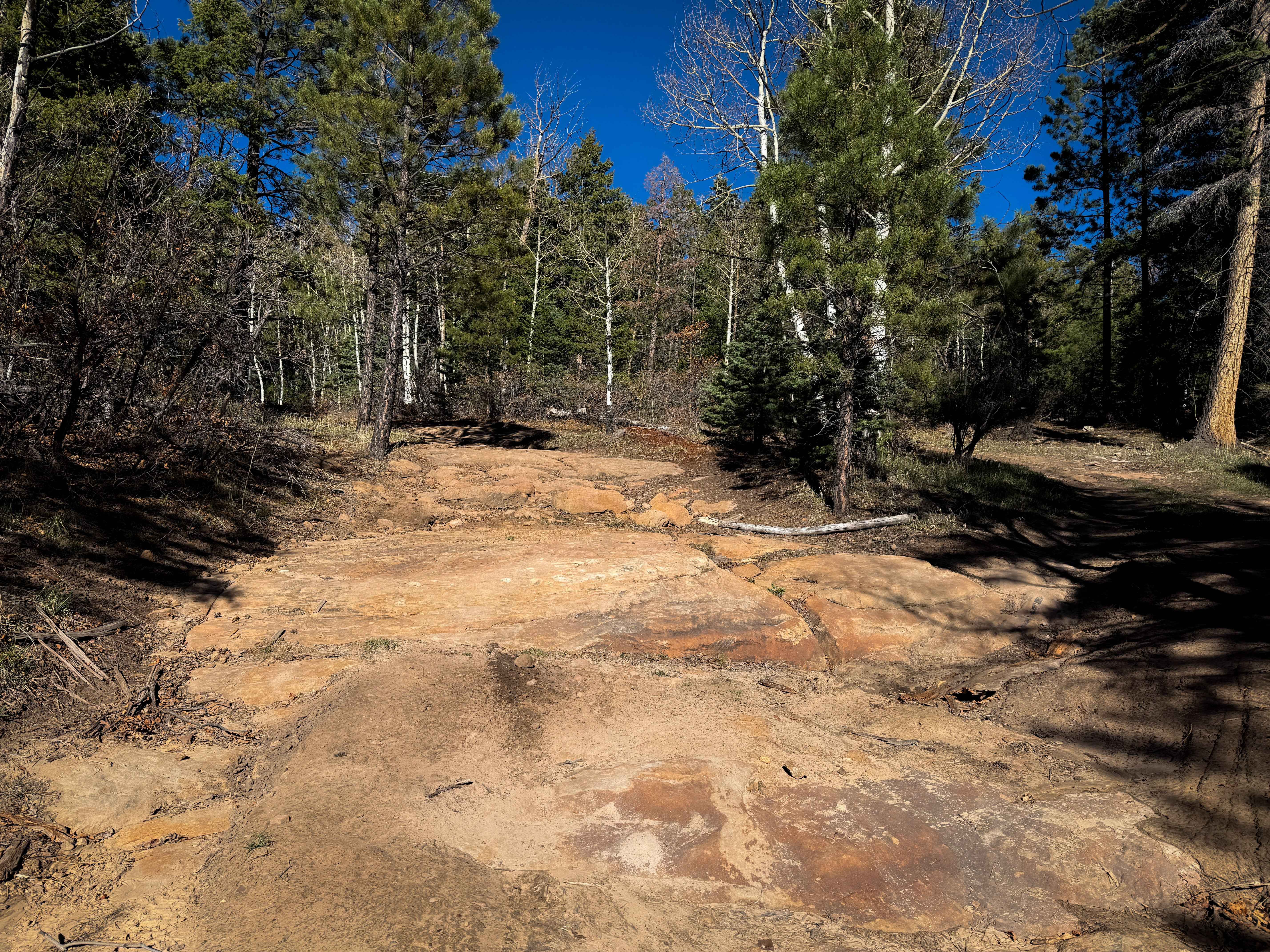
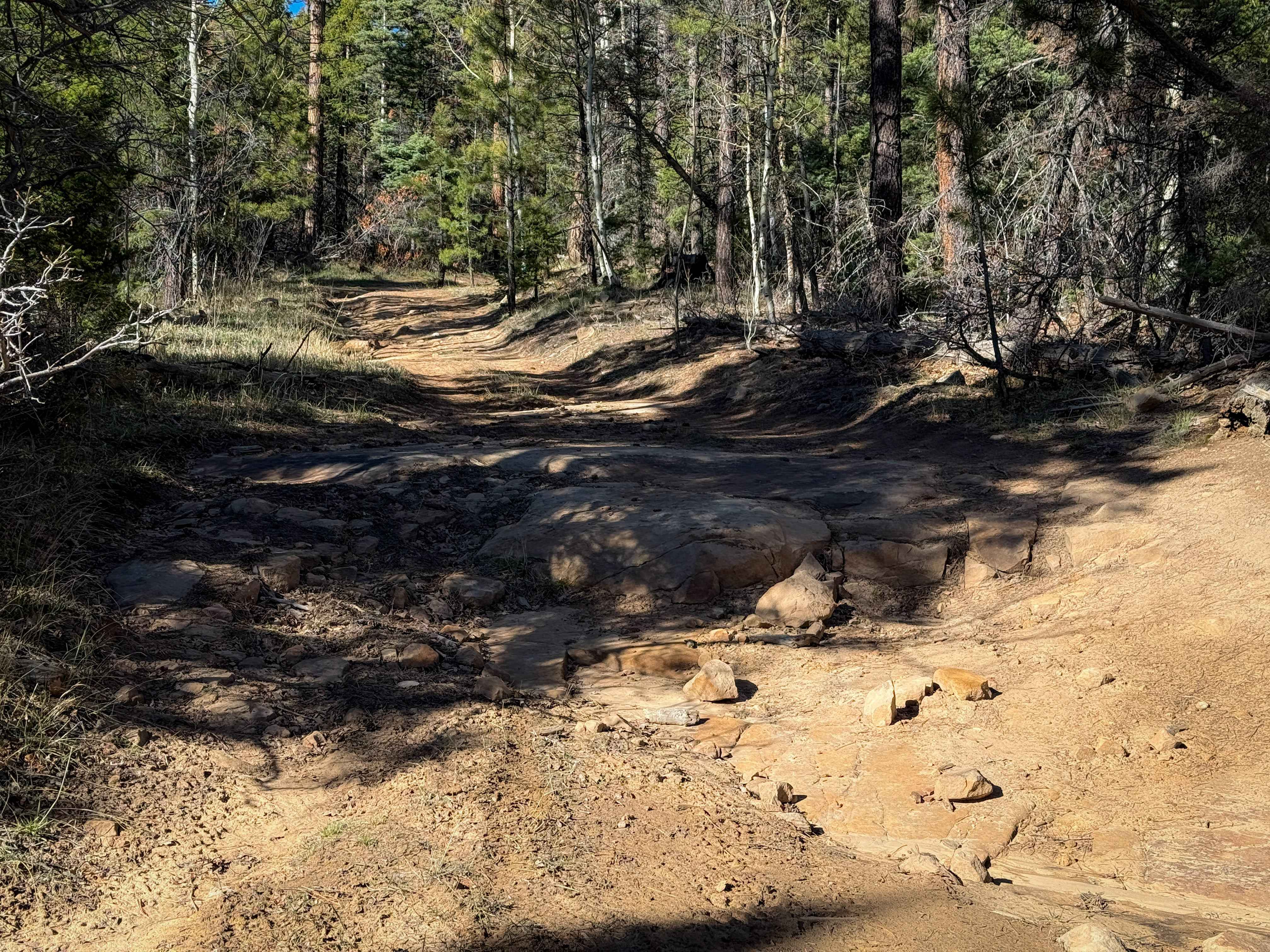
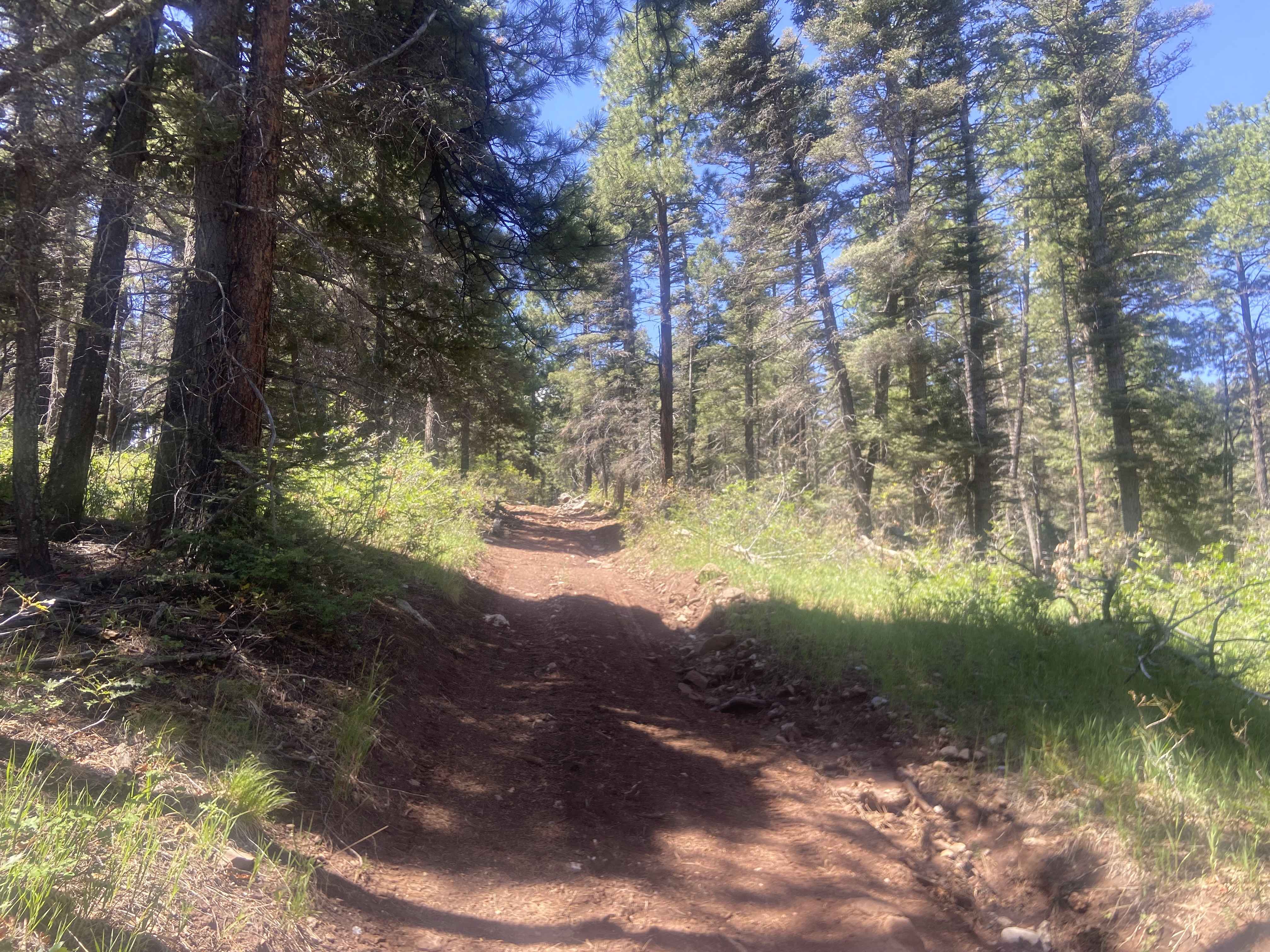
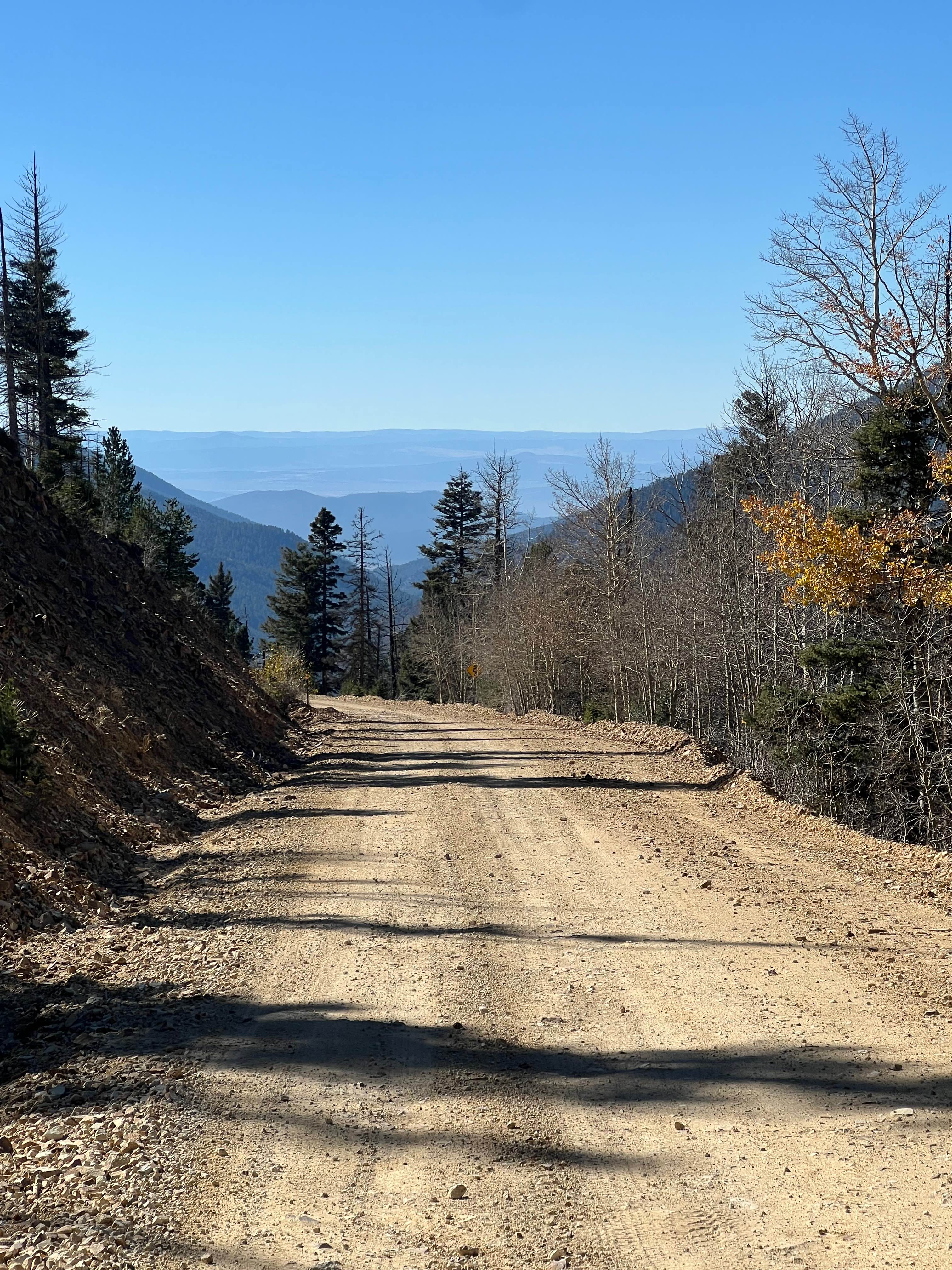
Trail Overview
This is a short two-track through a forested environment in the Santa Fe National Forest, following a wide corridor between the pine trees. The track is rutted out in spots, making it uneven and chopped up, and it looks like it can get muddy. There are some embedded flat slab rocks throughout the route, and a couple of embedded rock ledges from the rock layers across the trail. The ledges are generally about a foot tall and can be approached straight on, making them pretty easy to ride up or down. At times, the ruts get deeper on one side of the trail, making it slightly more off-camber. It ends after about a mile on another forest road, which you can take to connect to the Eureka Center ATV trail. The whole route is unmarked and lightly trafficked, so offline maps are helpful, and expect potential log hazards.
Photos of Eureka East
Difficulty
Despite a couple of small rock ledges, this trail is still considered easy because the rock ledges are approachable and not off-camber, and the whole route is pretty gradual. Expect a few ruts and mud in the wetter months.
Status Reports
Eureka East can be accessed by the following ride types:
- ATV (50")
- Dirt Bike
Eureka East Map
Popular Trails
Chaco Canyon to Kin Klizhin
Rio Del Oso
Canada Ojitos
The onX Offroad Difference
onX Offroad combines trail photos, descriptions, difficulty ratings, width restrictions, seasonality, and more in a user-friendly interface. Available on all devices, with offline access and full compatibility with CarPlay and Android Auto. Discover what you’re missing today!