Guaje Connector
Total Miles
3.6
Technical Rating
Best Time
Spring, Summer, Fall
Trail Type
Full-Width Road
Accessible By
Trail Overview
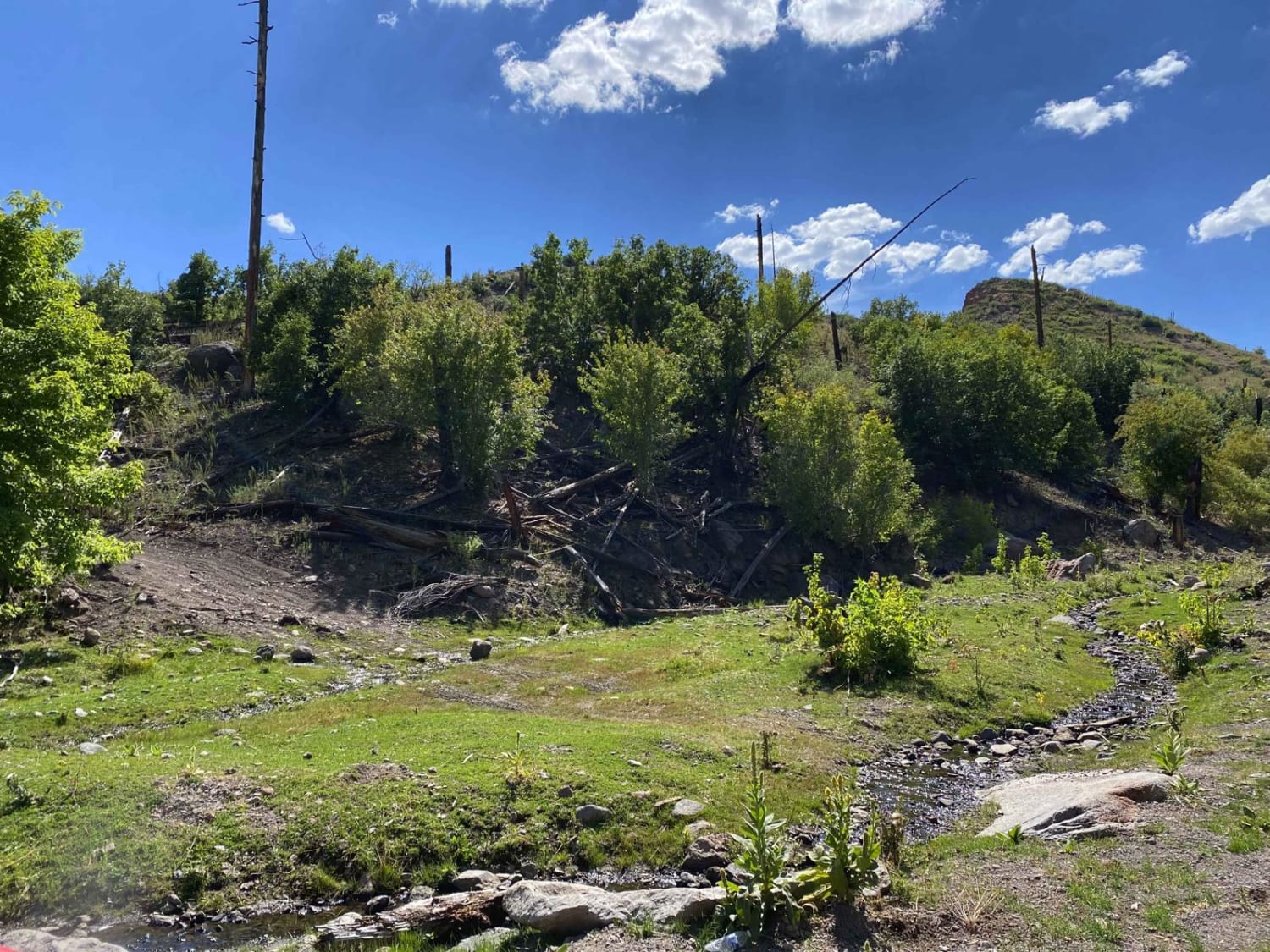
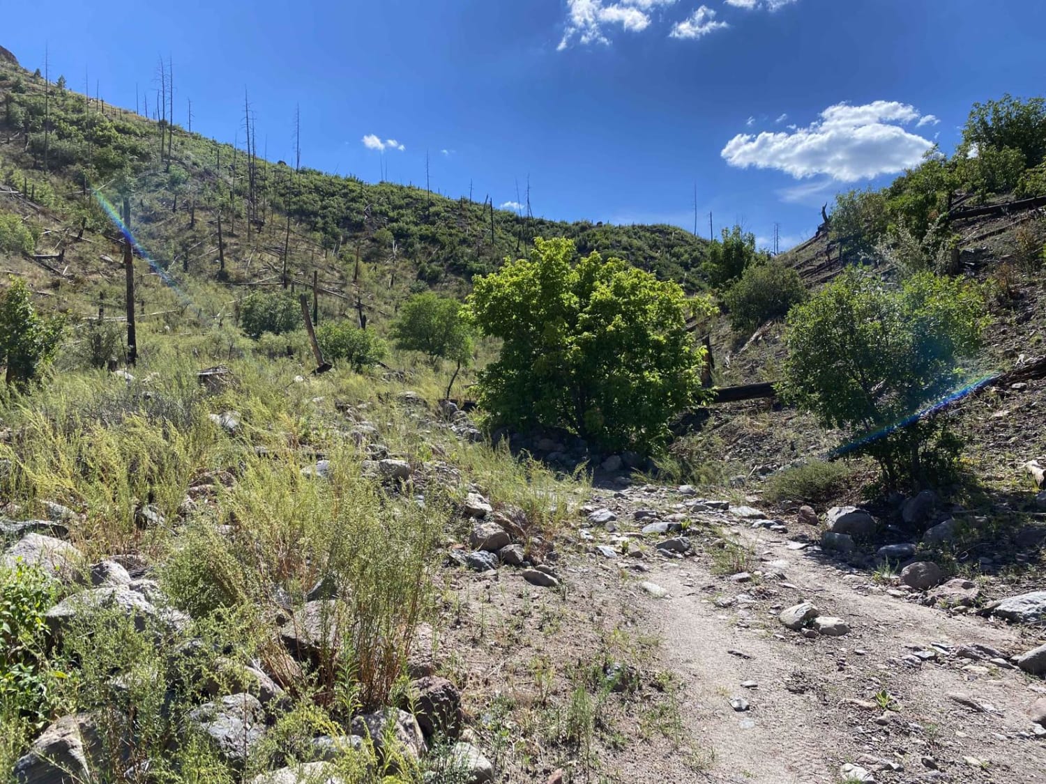
Guaje Connector Trail is Forest Service Road #803. This trail connects Guaje Canyon up to Guaje Ridge and back over to town just behind the Guaje Pines Cemetery. As the trail climbs out of Guaje Canyon, if using it as an exit, expect a shelf road with a fairly steep grade with lots of loose rocky boulders. Once up top, the trail is fairly mild and traverses the ridge top before dropping back in towards town. The dirt on the ridge top can become very slick and muddy during rainfall; avoid it in those conditions.
Photos of Guaje Connector
Difficulty
This is a shelf road with a steep grade and small to medium-sized boulders.
Status Reports
Guaje Connector can be accessed by the following ride types:
- High-Clearance 4x4
- SUV
- SxS (60")
- ATV (50")
- Dirt Bike
Guaje Connector Map
Popular Trails

Easy Cruise - FS 315
Manzanares Mesa
Long Canyon to Board Canyon (FS271)
Riley CR 12
The onX Offroad Difference
onX Offroad combines trail photos, descriptions, difficulty ratings, width restrictions, seasonality, and more in a user-friendly interface. Available on all devices, with offline access and full compatibility with CarPlay and Android Auto. Discover what you’re missing today!