Sargent Tank
Total Miles
8.8
Technical Rating
Best Time
Spring, Summer, Fall, Winter
Trail Type
Full-Width Road
Accessible By
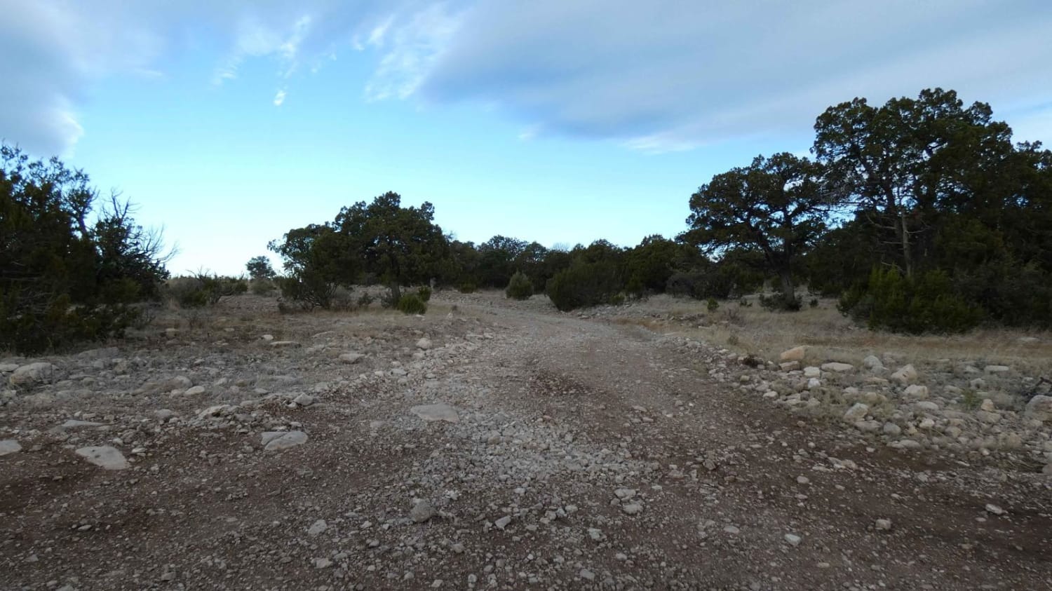
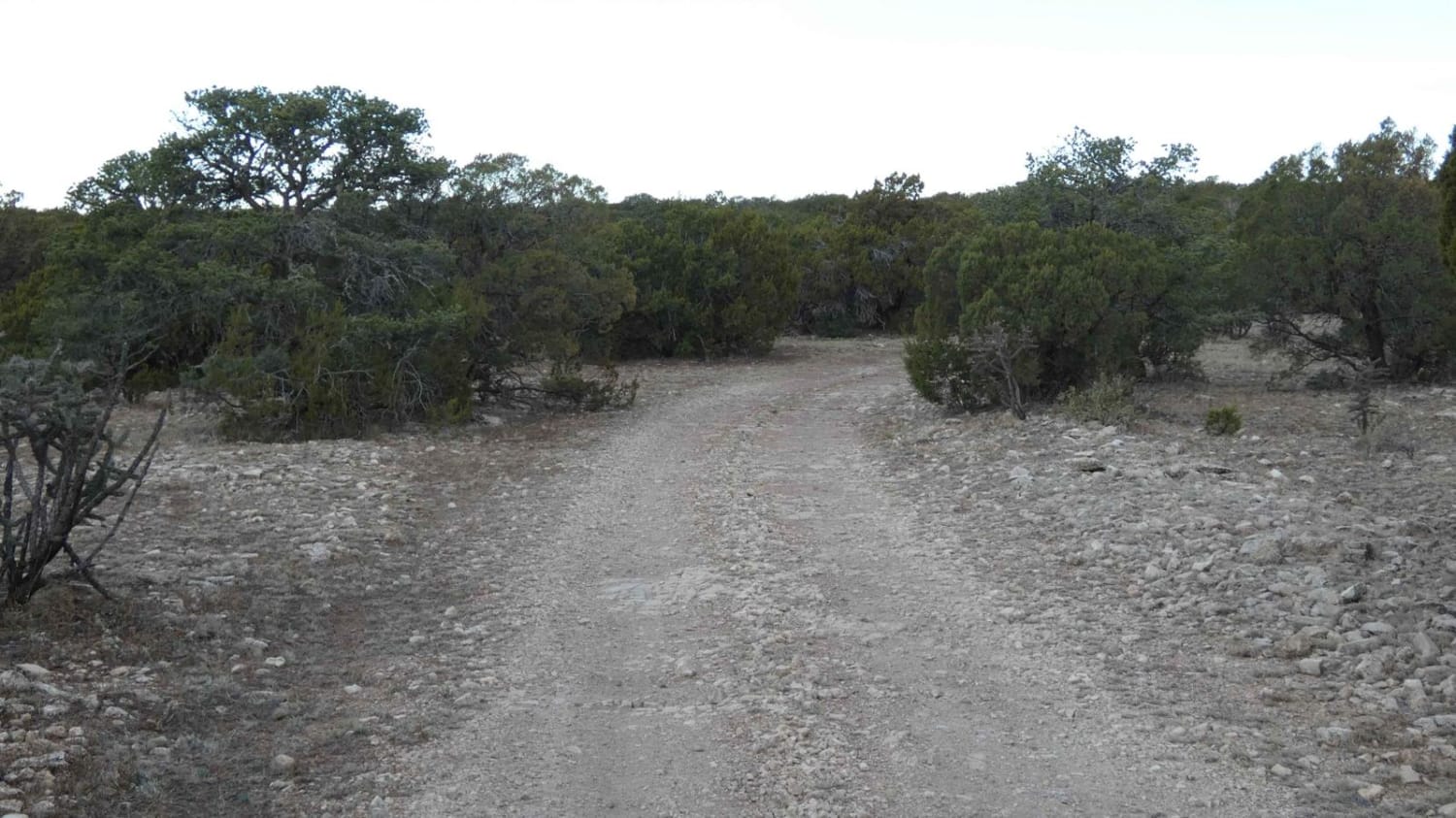
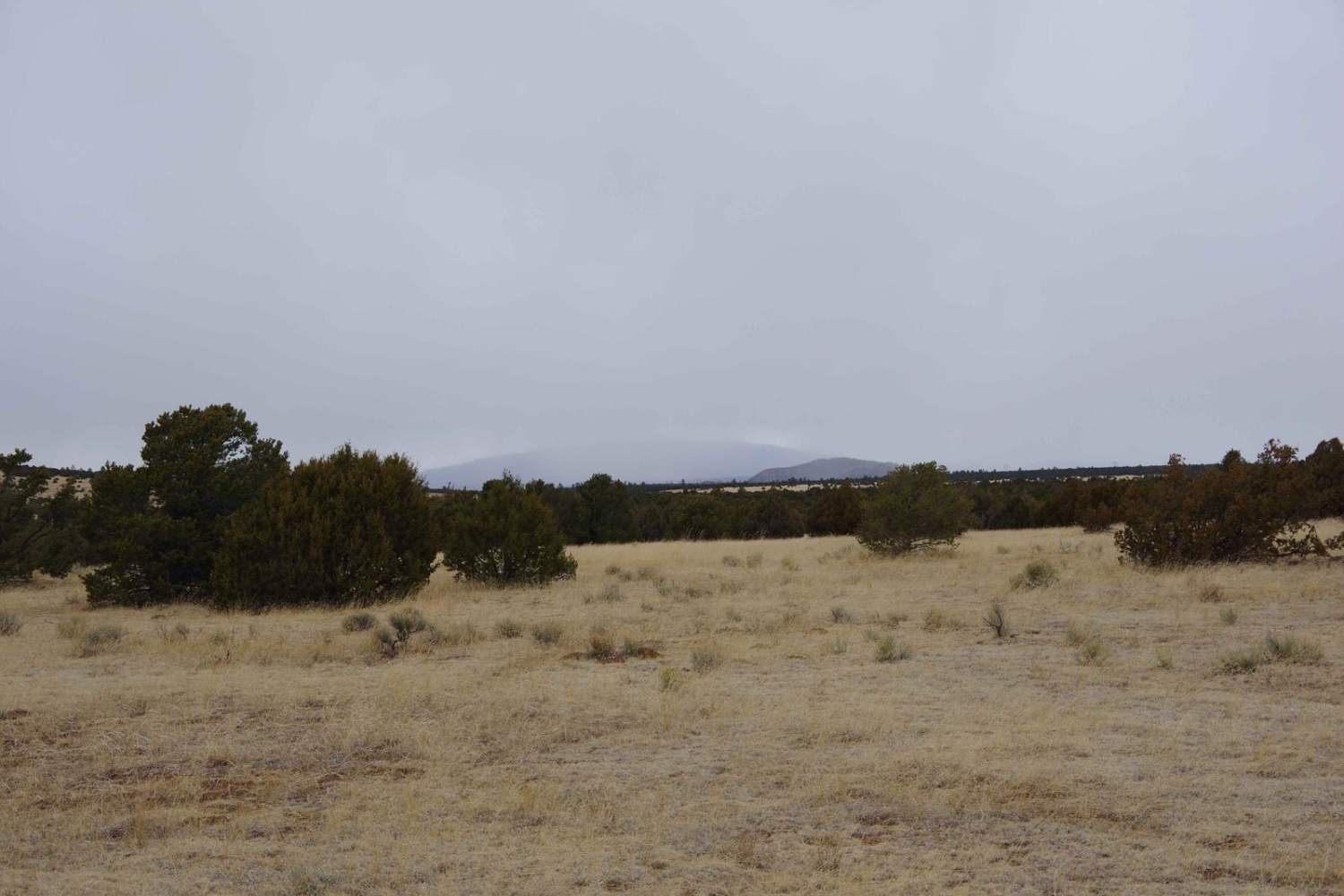
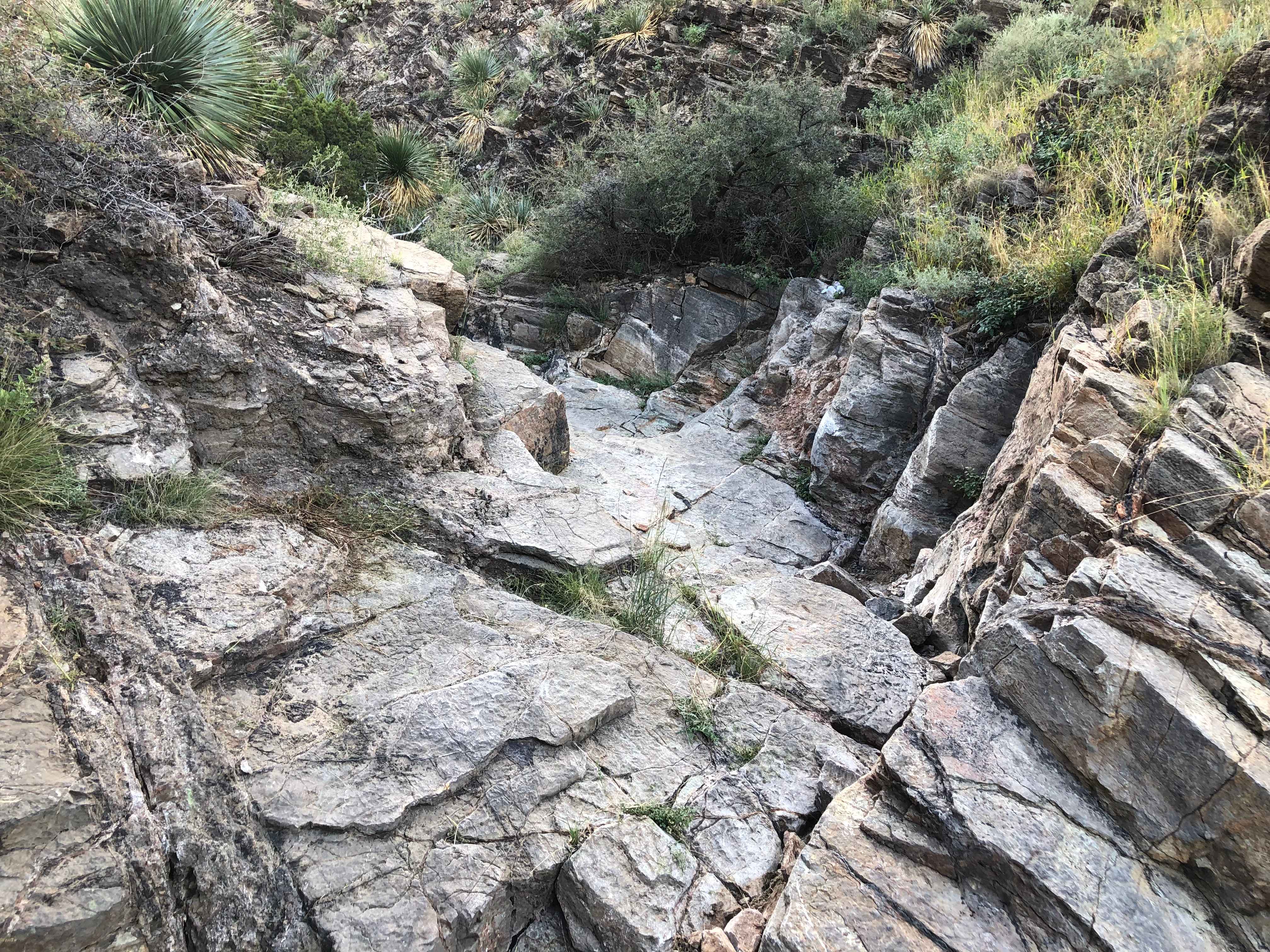
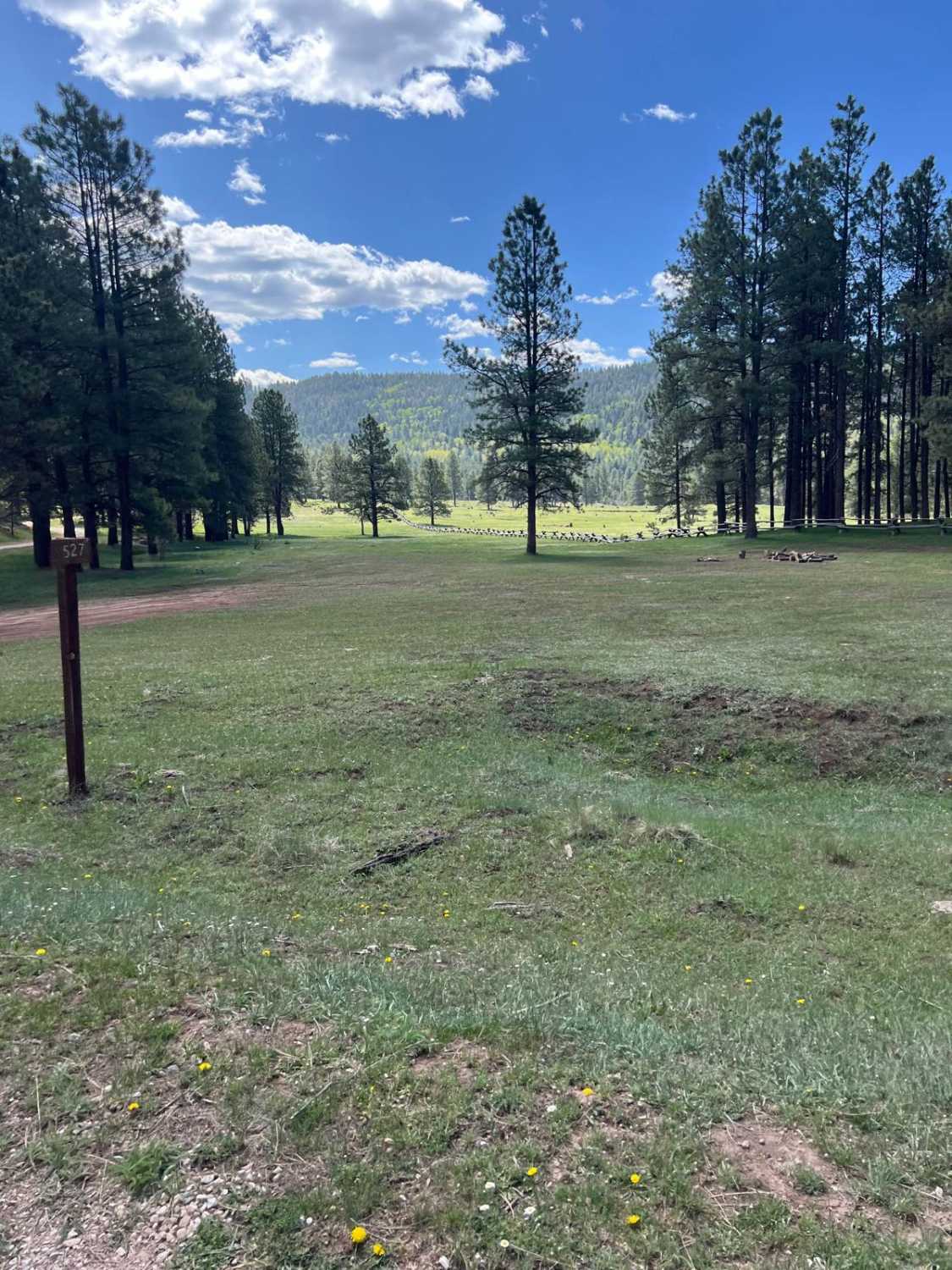
Trail Overview
Sargent Tank is a connecting trail that can be run from the north or south. At the north end it connects from FS321 and runs south to FS518/FS5514 Panama/Anderson. There are a few motorized and hiking spurs off the trail as well as several areas open for dispersed camping. The trail switches between a rock and dirt surface with a few areas featuring small rock gardens with obstacles just under 12". The trail is primarily single vehicle wide with room to pass and has several areas where low-lying washes are present and have the possibility to be shallow water crossings after rain. The sections of the trail that are primarily dirt surface appear to be well maintained with some minor rutting, but will be extremely soft and muddy after rains. The trail rolls with the terrain and views vary from wide open to thick foliage and canyon hills to wide open meadows. Cell service is strong in some areas of the trail and nonexistent in others. Wildlife is abundant in this area with everything from elk and deer to predatory animals, a wide array of birds and javelina. The trail will be easily completed by 4x4s and most AWDs.
Photos of Sargent Tank
Difficulty
You'll come across obstacles and rock gardens under 12", potential shallow water crossings, mud, rutting and loose rocks.
Status Reports
Sargent Tank can be accessed by the following ride types:
- High-Clearance 4x4
- SUV
- SxS (60")
- ATV (50")
- Dirt Bike
Sargent Tank Map
Popular Trails

Arroyo de los Diegos
West Mesa Loop
Short Cut
Wetherill Way - FR 527
The onX Offroad Difference
onX Offroad combines trail photos, descriptions, difficulty ratings, width restrictions, seasonality, and more in a user-friendly interface. Available on all devices, with offline access and full compatibility with CarPlay and Android Auto. Discover what you’re missing today!