Off-Road Trails in Missouri
Discover off-road trails in Missouri
Learn more about Humpty Dumpty 21
Humpty Dumpty 21
Total Miles
0.3
Tech Rating
Moderate
Best Time
Spring, Summer, Winter, Fall
Learn more about Hungover Loop
Hungover Loop
Total Miles
0.3
Tech Rating
Easy
Best Time
Spring, Summer, Fall, Winter
Learn more about Hungover Trail
Hungover Trail
Total Miles
0.2
Tech Rating
Easy
Best Time
Spring, Summer, Fall, Winter
Learn more about Hurricane Road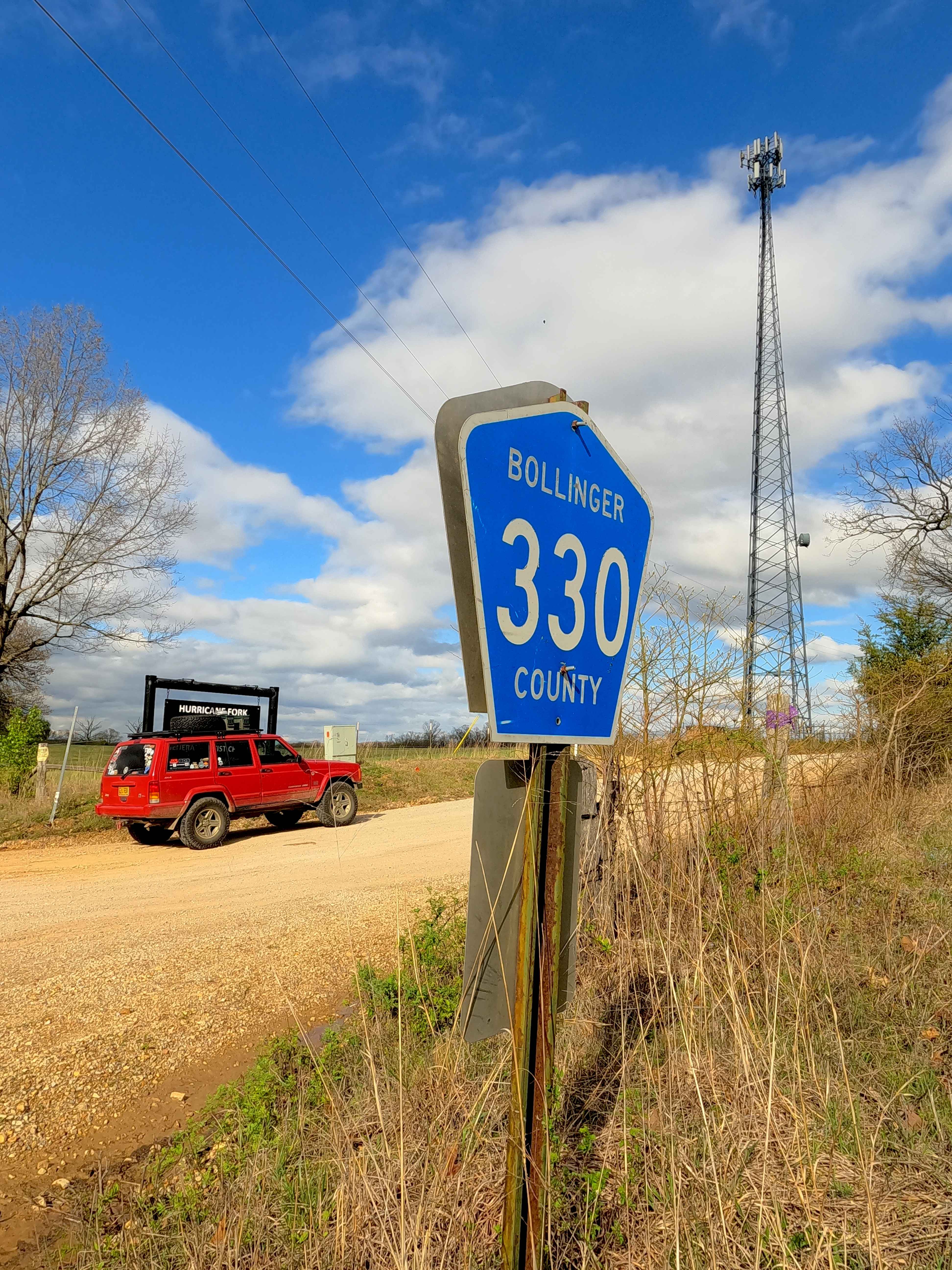
Hurricane Road
Total Miles
3.2
Tech Rating
Easy
Best Time
Spring, Summer, Fall, Winter
Learn more about Huzzah Creek Train Tunnel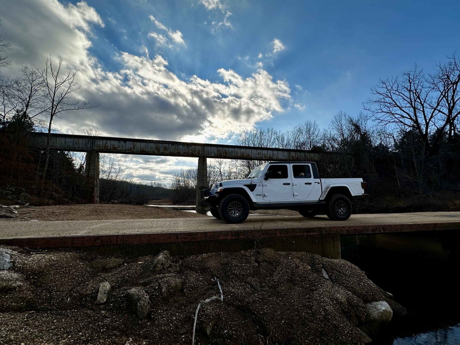
Huzzah Creek Train Tunnel
Total Miles
12.6
Tech Rating
Easy
Best Time
Spring, Summer, Fall, Winter
Learn more about I-155 Tunnel Crossing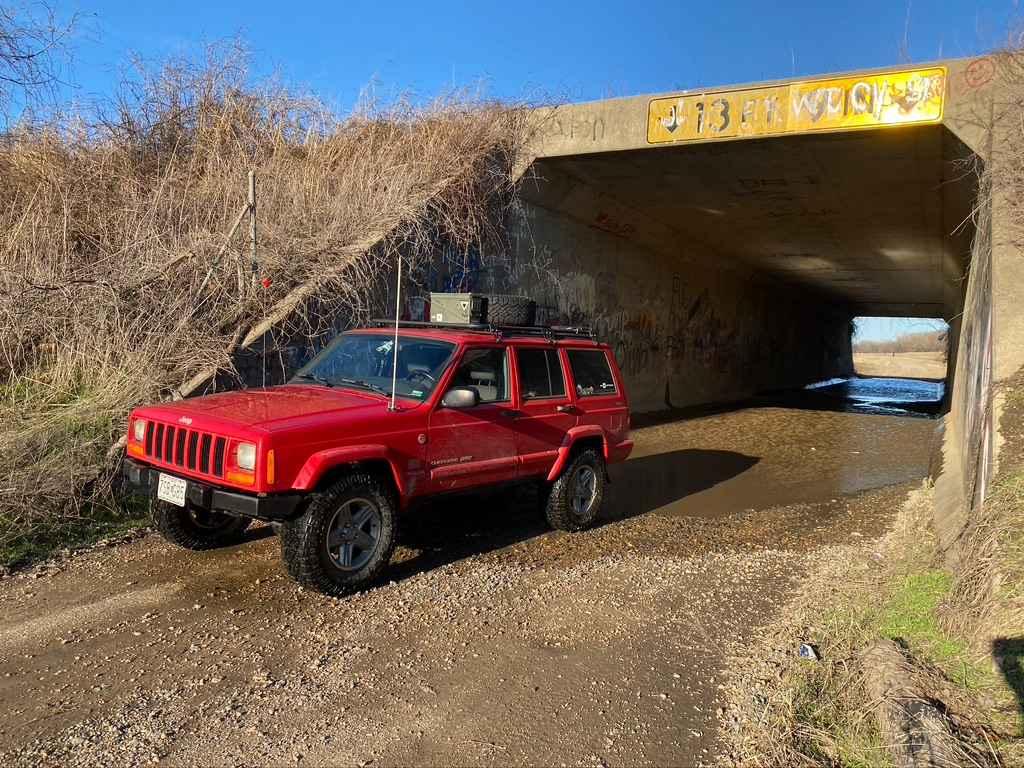
I-155 Tunnel Crossing
Total Miles
6.9
Tech Rating
Easy
Best Time
Spring, Fall, Summer
Learn more about Indecision
Indecision
Total Miles
0.1
Tech Rating
Easy
Best Time
Spring, Summer, Fall, Winter
Learn more about Independent - FS 1756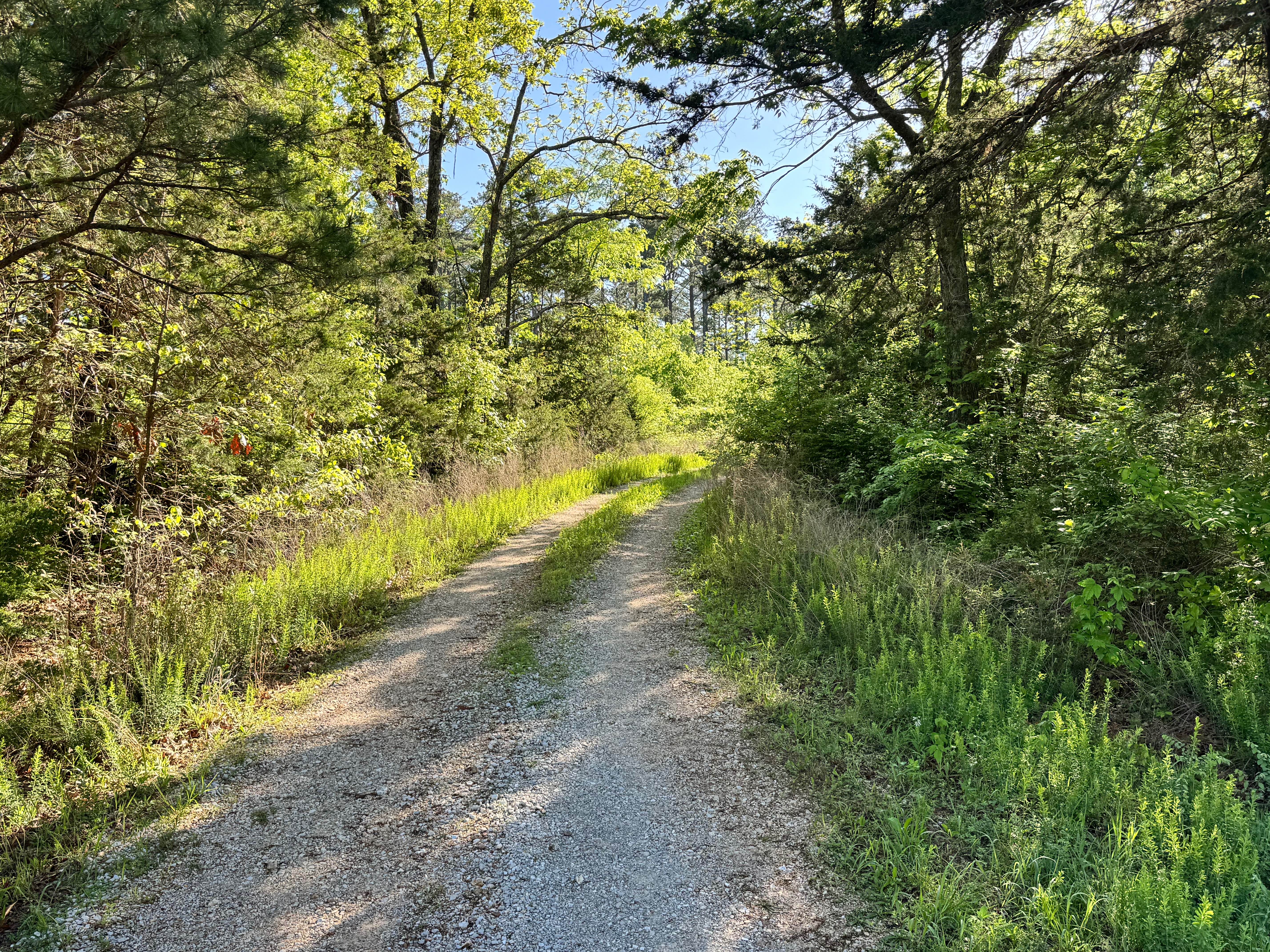
Independent - FS 1756
Total Miles
1.7
Tech Rating
Easy
Best Time
Spring, Summer, Fall, Winter
Learn more about Indian Creek Church - FS 2523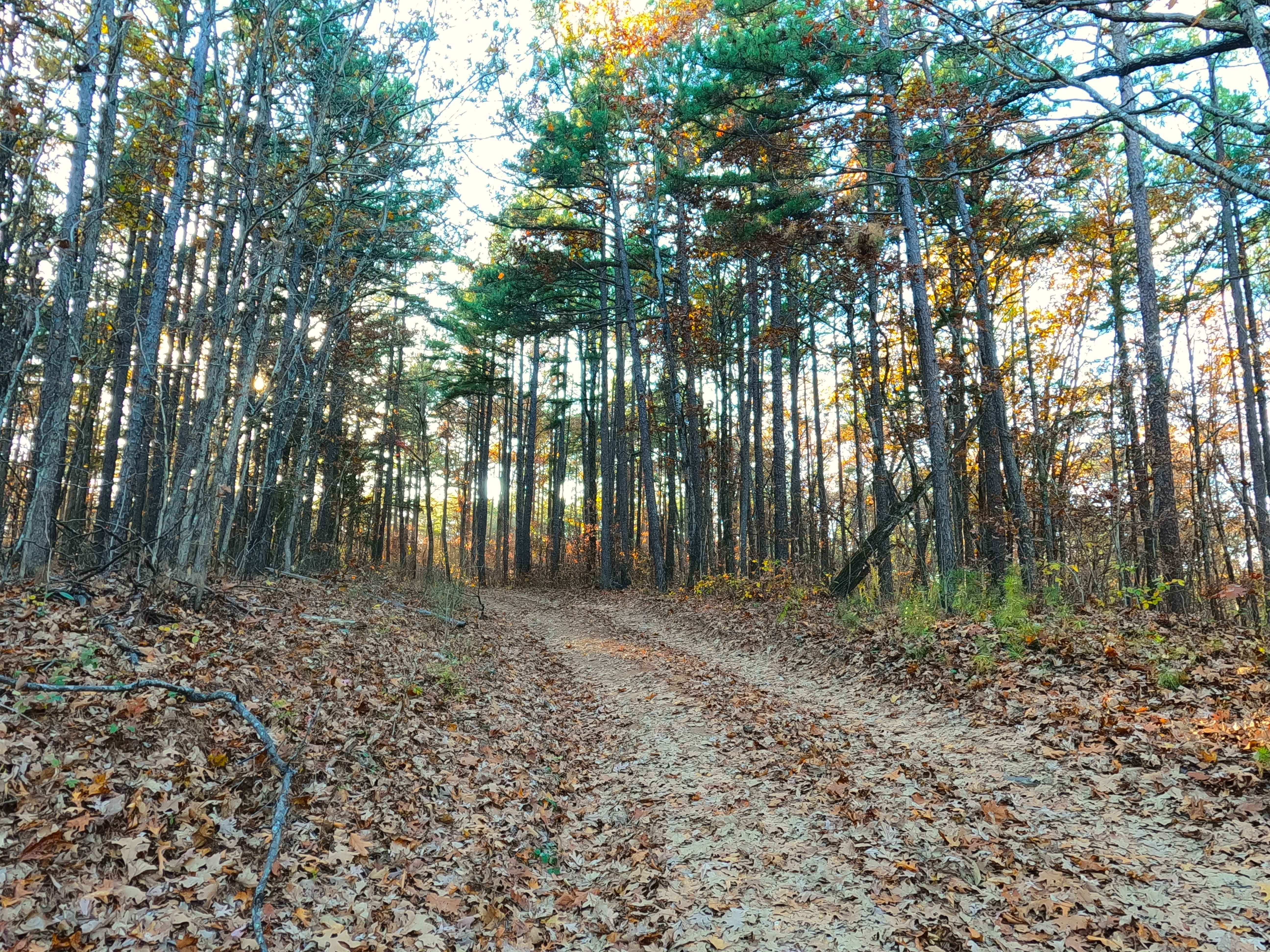
Indian Creek Church - FS 2523
Total Miles
0.5
Tech Rating
Easy
Best Time
Spring, Summer, Fall, Winter
Learn more about Inner Trail 1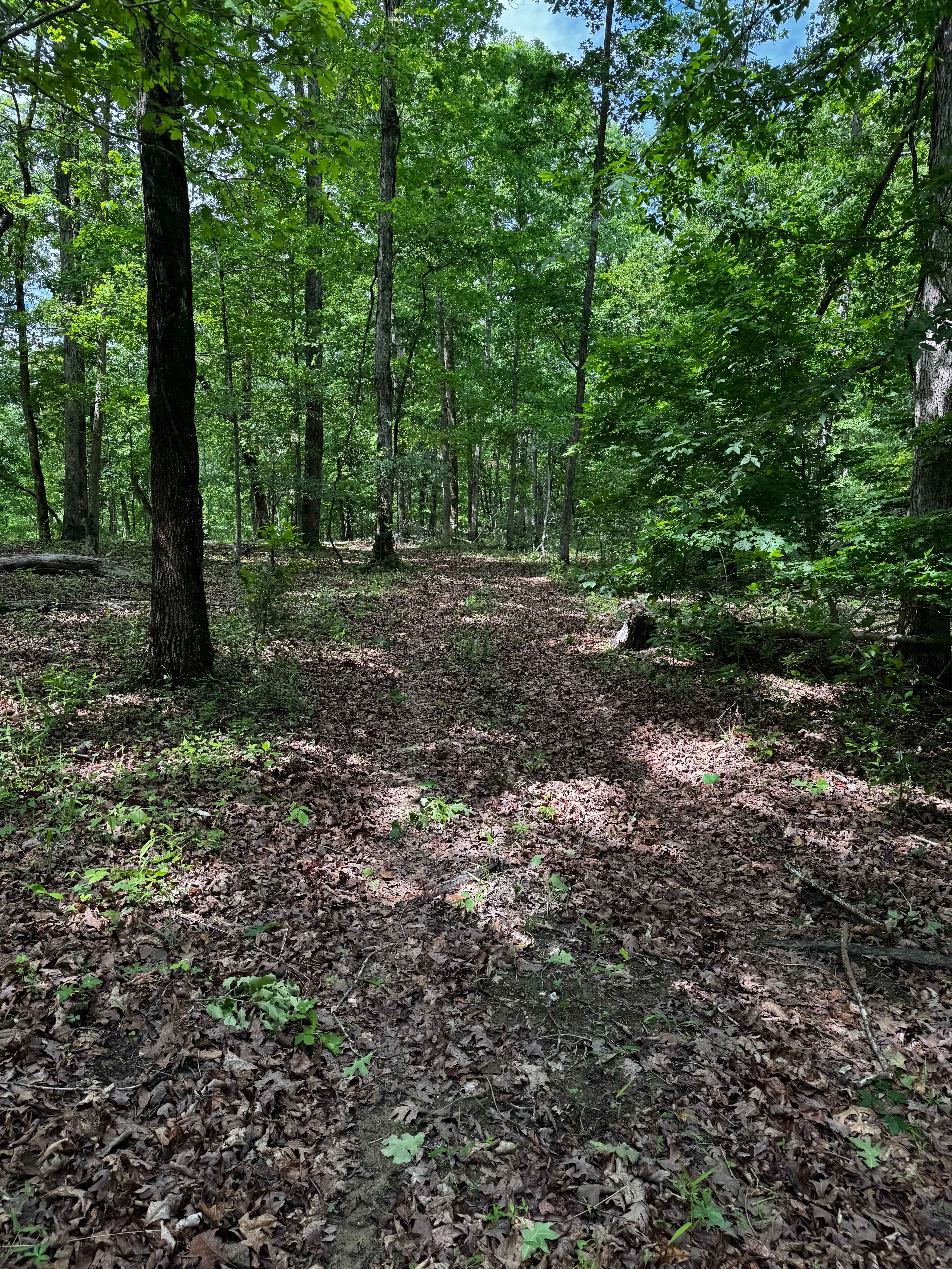
Inner Trail 1
Total Miles
0.1
Tech Rating
Easy
Best Time
Spring, Summer, Fall, Winter
Learn more about Ironwash - ICR 9 FS 2664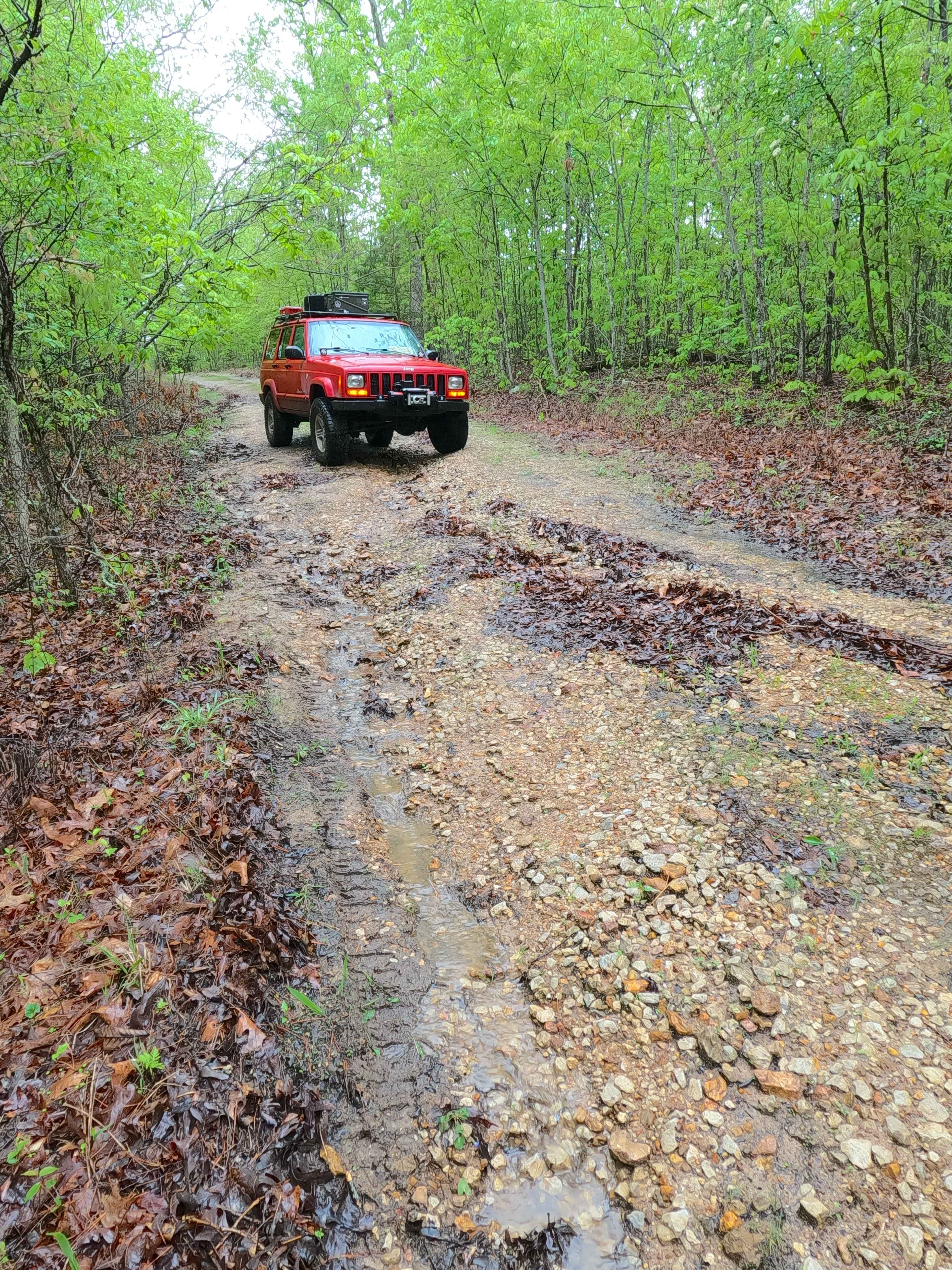
Ironwash - ICR 9 FS 2664
Total Miles
2.6
Tech Rating
Easy
Best Time
Spring, Summer, Fall, Winter
Learn more about Ironwash Spur A - FS 2664A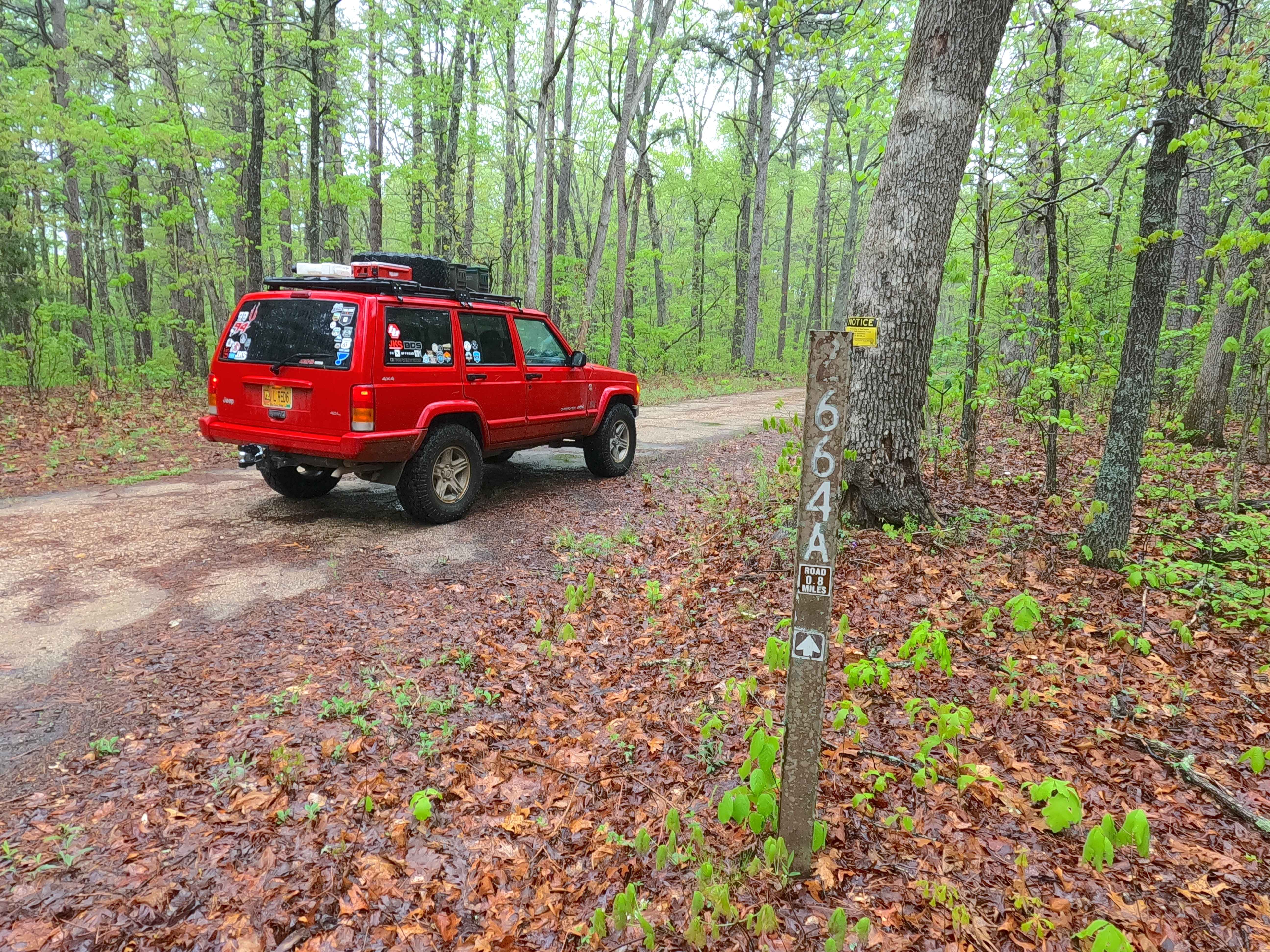
Ironwash Spur A - FS 2664A
Total Miles
0.8
Tech Rating
Easy
Best Time
Spring, Summer, Fall, Winter
Learn more about J.J's Field 
J.J's Field
Total Miles
0.5
Tech Rating
Easy
Best Time
Spring, Summer, Fall, Winter
Learn more about J&D Off-Road Park Chat Trail
J&D Off-Road Park Chat Trail
Total Miles
1.6
Tech Rating
Easy
Best Time
Winter, Fall, Summer, Spring
Learn more about Jagermeister
Jagermeister
Total Miles
0.3
Tech Rating
Moderate
Best Time
Spring, Summer, Fall
Learn more about James Branch - FS 2741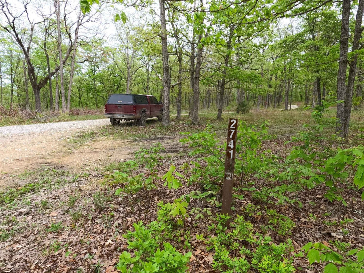
James Branch - FS 2741
Total Miles
1.8
Tech Rating
Easy
Best Time
Spring, Summer, Fall, Winter
Learn more about James Creek Road
James Creek Road
Total Miles
3.9
Tech Rating
Easy
Best Time
Spring, Fall, Summer, Winter
Learn more about James Ridge - FS 2754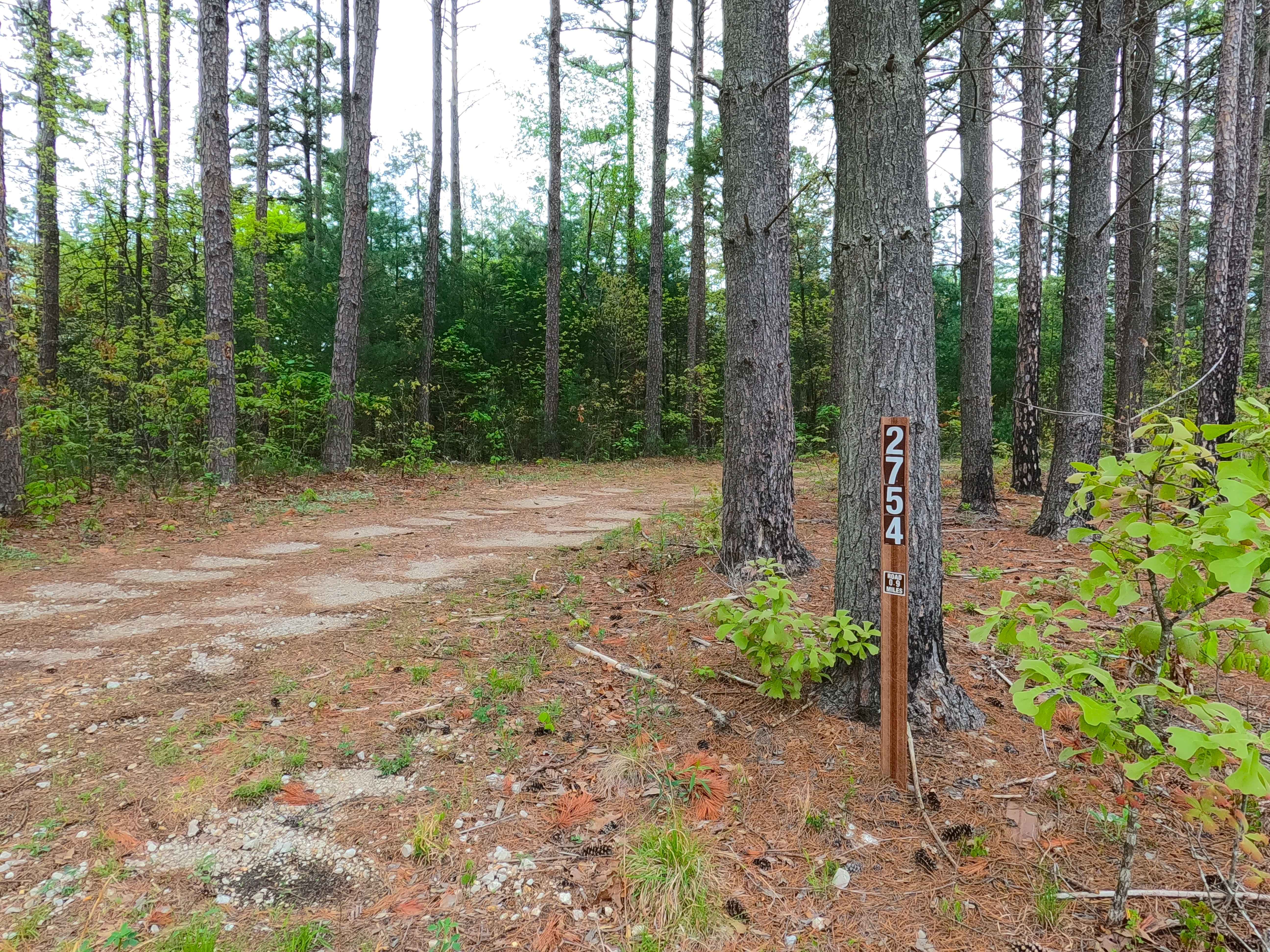
James Ridge - FS 2754
Total Miles
1.1
Tech Rating
Easy
Best Time
Spring, Summer, Fall, Winter
Learn more about Jason's Curves
Jason's Curves
Total Miles
0.7
Tech Rating
Easy
Best Time
Spring, Fall, Winter, Summer
Learn more about Jeepers Creepers
Jeepers Creepers
Total Miles
0.2
Tech Rating
Moderate
Best Time
Spring, Summer, Fall, Winter
ATV trails in Missouri


Learn more about 4 of 5
4 of 5
Total Miles
0.0
Tech Rating
Difficult
Best Time
Spring, Summer, Fall, Winter
UTV/side-by-side trails in Missouri
Learn more about 4 of 5
4 of 5
Total Miles
0.0
Tech Rating
Difficult
Best Time
Spring, Summer, Fall, Winter
The onX Offroad Difference
onX Offroad combines trail photos, descriptions, difficulty ratings, width restrictions, seasonality, and more in a user-friendly interface. Available on all devices, with offline access and full compatibility with CarPlay and Android Auto. Discover what you’re missing today!