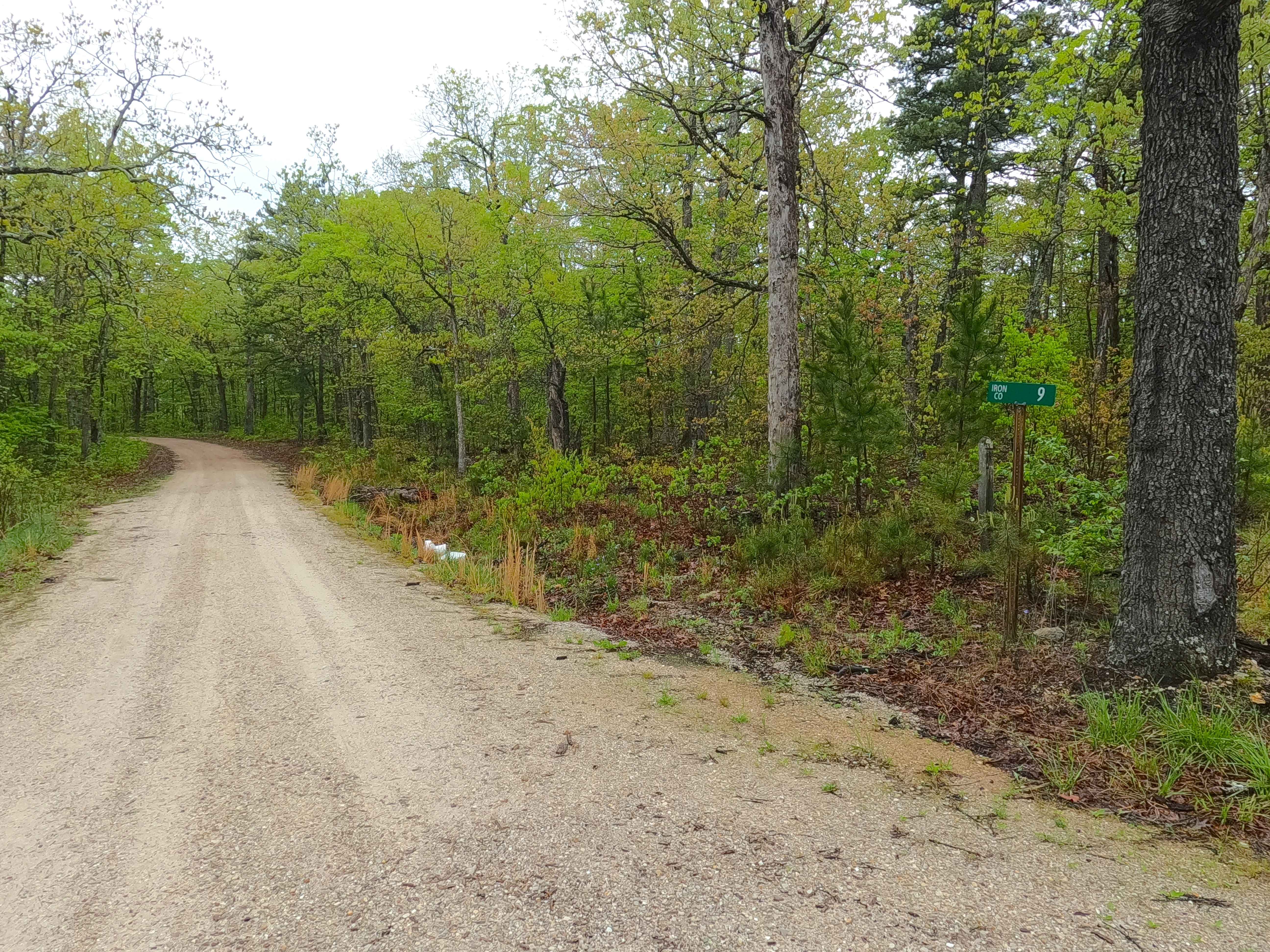
Ironwash - ICR 9 FS 2664
Total Miles
2.6
Technical Rating
Best Time
Spring, Summer, Fall, Winter
Trail Type
Full-Width Road
Accessible By
Trail Overview
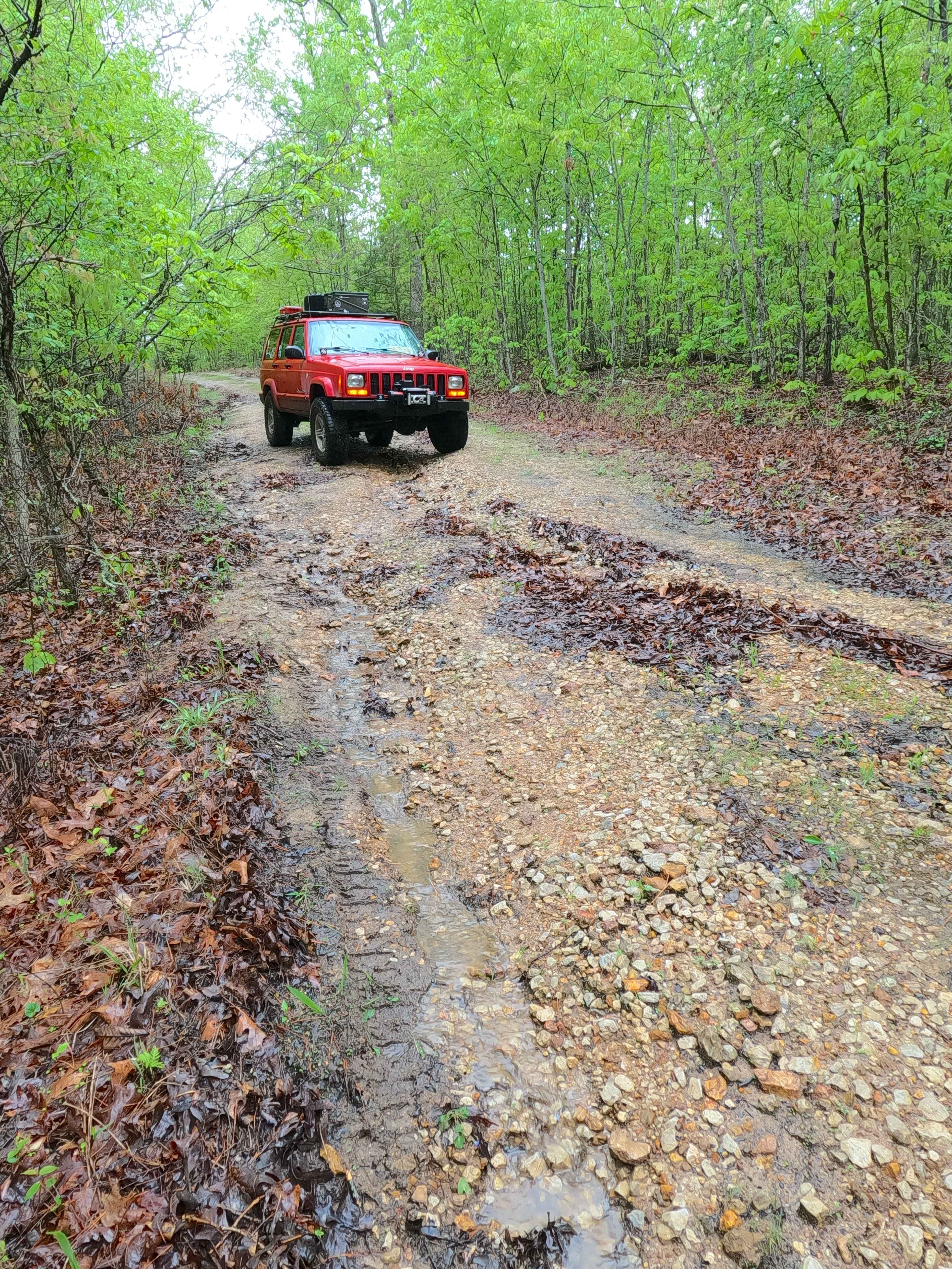
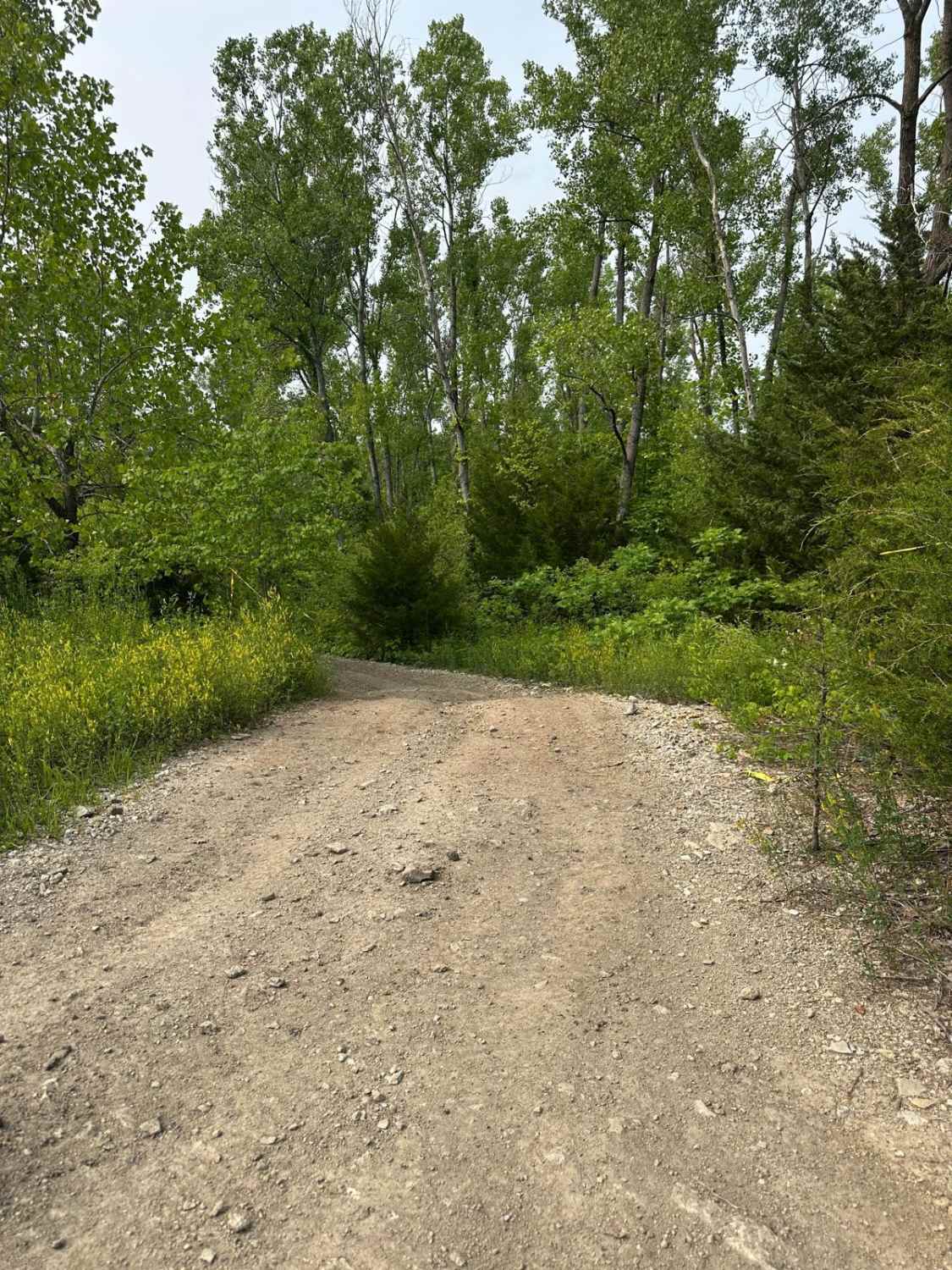
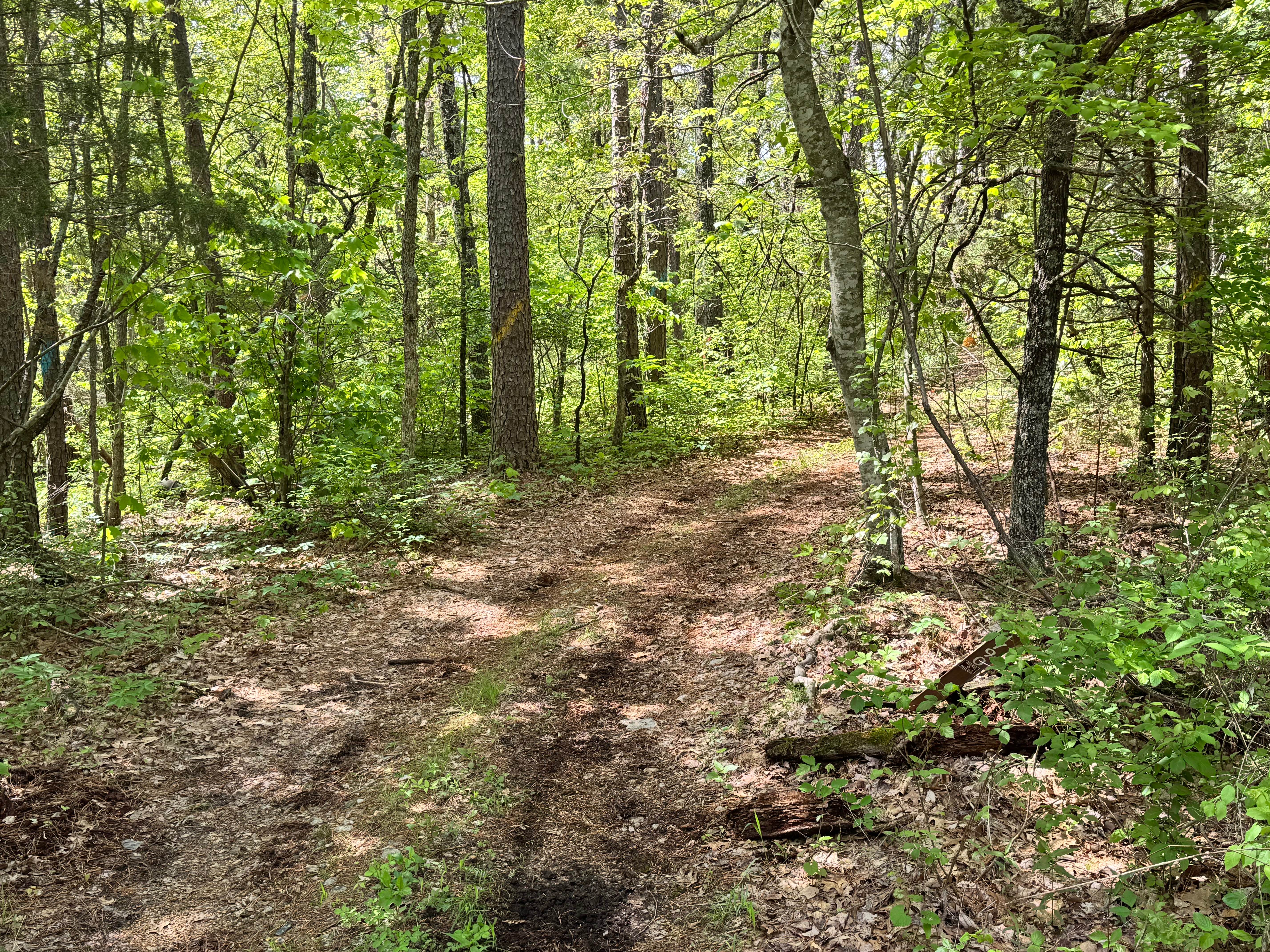
Ironwash or Crocker Road, with the IDs Iron CR 9 and FS 2664, is a semi-maintained gravel road that leans towards a natural improved road over its track, which is part of Iron County right of way, and the Potosi Unit of Mark Twain National Forest. The track features graceful bends and elevation changes on the ridge-top section as it passes by FS 2663 and FS 2664A, after which it climbs the highest point in the track to drop back downhill on the other side, crossing mild active erosion and rutting along this hill. The final stretch of the track drops slowly to the lowest point in the track for concluding at the endpoint turnaround. At the 1.8 to 1.9-mile mark, a couple of things are noteworthy about the track. First, to the east of the track, roughly at 37.7319, -90.9818, is an abandoned copper mine; second, the track follows right along the Fifth Principle Meridian for 500 feet, centered on 37.73145, -90.98255. The Ironwash is a graceful road with a little thrill of erosion, with camping opportunities and obscure history to boot.
Photos of Ironwash - ICR 9 FS 2664
Difficulty
Ironwash is given a base rating of 2/10, being primarily a semi-maintained gravel road, having sections that lean natural improved, containing mild graded hills with active erosion ruts (being 6"-12 deep) with course gravel, loose cobbles, surface mud, and water collection spots. Expect the normal gravel road complications of potholes, washboards, and mounding of the gravel. Difficulty could increase in wet conditions and heavy use with a lack of maintenance. The road could also drop in difficulty if it were to be mended.
History
An unnamed copper mine existed along the western end of the trail at 37.7319, -90.9818, though when researched, there were no dates of its existence, but it showed on the 1968 Johnson Mountain Topo as "Mine" until in 1999 it was updated to "(Abandoned) Mine". This trail also crosses the "Fifth Principal Meridian", which is a land survey line that was created after the 1803 Louisiana Purchase, first being surveyed in 1815, and as of 2025 is still used as the official land survey line in 6 states, 4 of which are statewide, and two are partially used.
Status Reports
Ironwash - ICR 9 FS 2664 can be accessed by the following ride types:
- High-Clearance 4x4
- SUV
- SxS (60")
- ATV (50")
- Dirt Bike
Ironwash - ICR 9 FS 2664 Map
Popular Trails

Coyote - FS 1790
The onX Offroad Difference
onX Offroad combines trail photos, descriptions, difficulty ratings, width restrictions, seasonality, and more in a user-friendly interface. Available on all devices, with offline access and full compatibility with CarPlay and Android Auto. Discover what you’re missing today!