Green 28
Total Miles
0.1
Technical Rating
Best Time
Spring, Summer, Fall
Trail Type
Full-Width Road
Accessible By
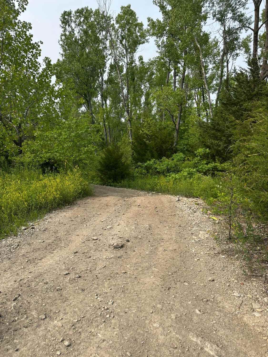
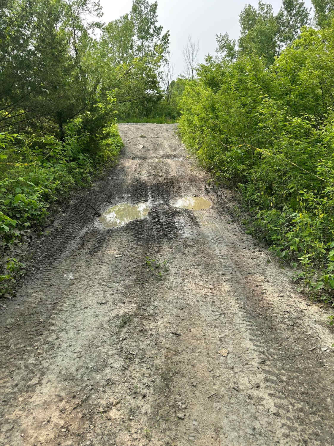
Trail Overview
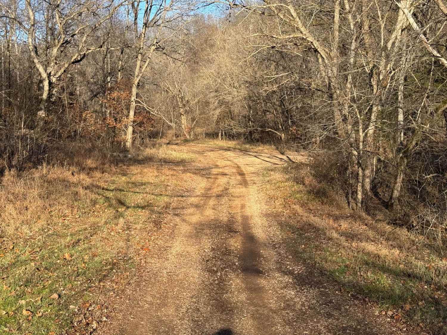
This trail runs between Main Road Trail and Yellow 25 and is generally easy to navigate. It passes through sections where trees grow close to the path, requiring careful, precise driving to avoid pin striping. Some areas can become muddy, especially after rain, and the trail includes a hill climb that is gradual but noticeable. There are no major obstacles, making it accessible for most high-clearance 4WD vehicles.
Photos of Green 28
Difficulty
This trail is generally straightforward but requires careful driving in narrow sections with closely spaced trees, which can increase the risk of pin striping. The gradual hill climb and occasional muddy areas add some challenge, especially after rain. It is suitable for most high-clearance 4WD vehicles with moderate off-road experience.
Status Reports
Green 28 can be accessed by the following ride types:
- High-Clearance 4x4
- SUV
- SxS (60")
- ATV (50")
- Dirt Bike
Green 28 Map
Popular Trails
Mark Twain NF Trail
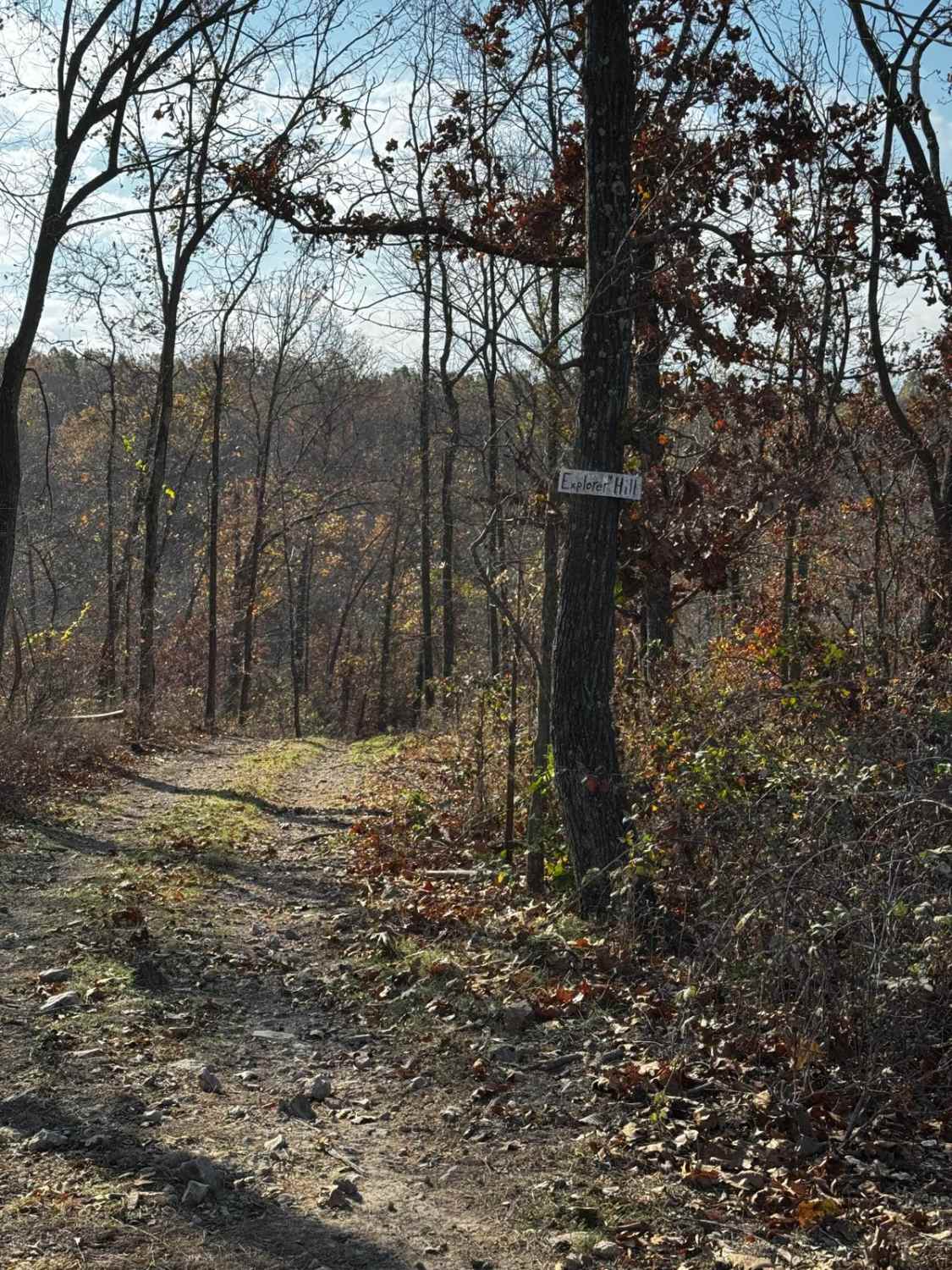
Explorer Hill
The onX Offroad Difference
onX Offroad combines trail photos, descriptions, difficulty ratings, width restrictions, seasonality, and more in a user-friendly interface. Available on all devices, with offline access and full compatibility with CarPlay and Android Auto. Discover what you’re missing today!