Off-Road Trails in Missouri
Discover off-road trails in Missouri
Learn more about Jeepers Sleepers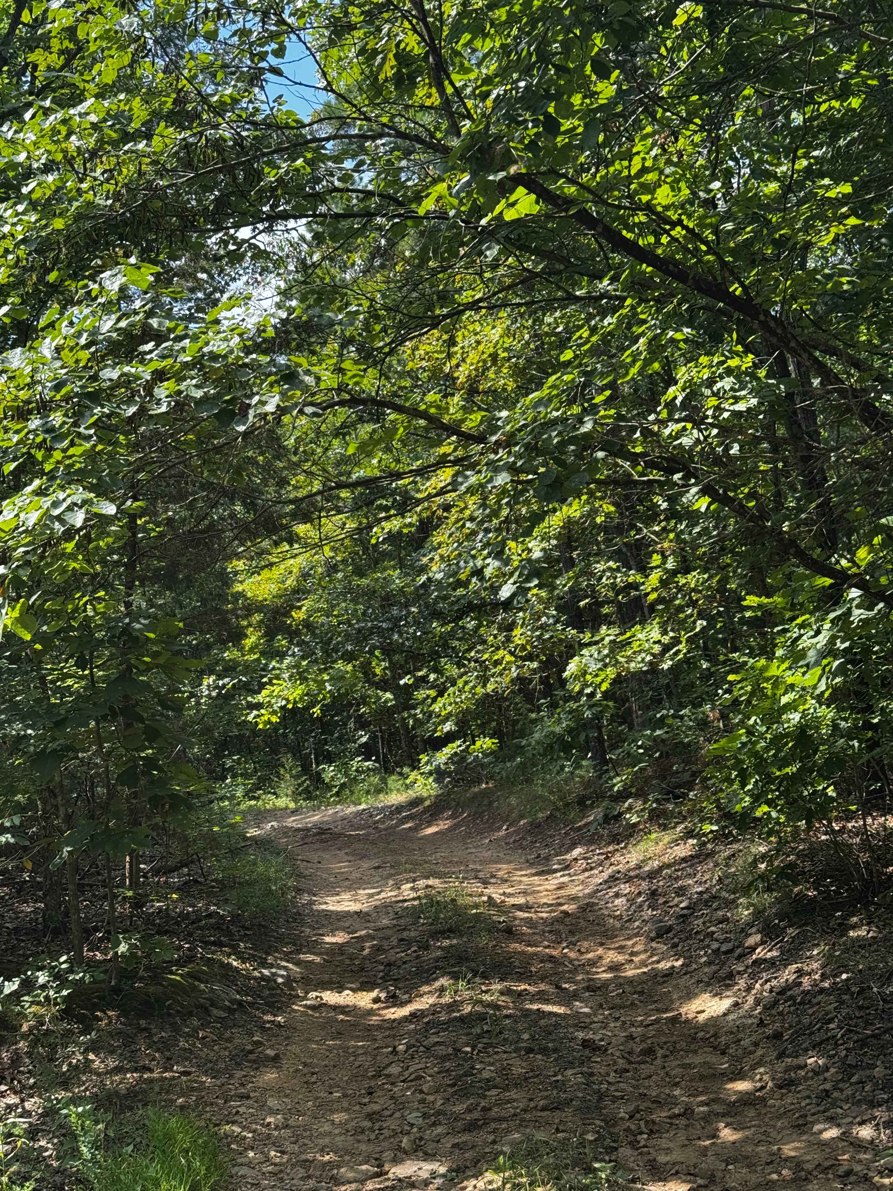
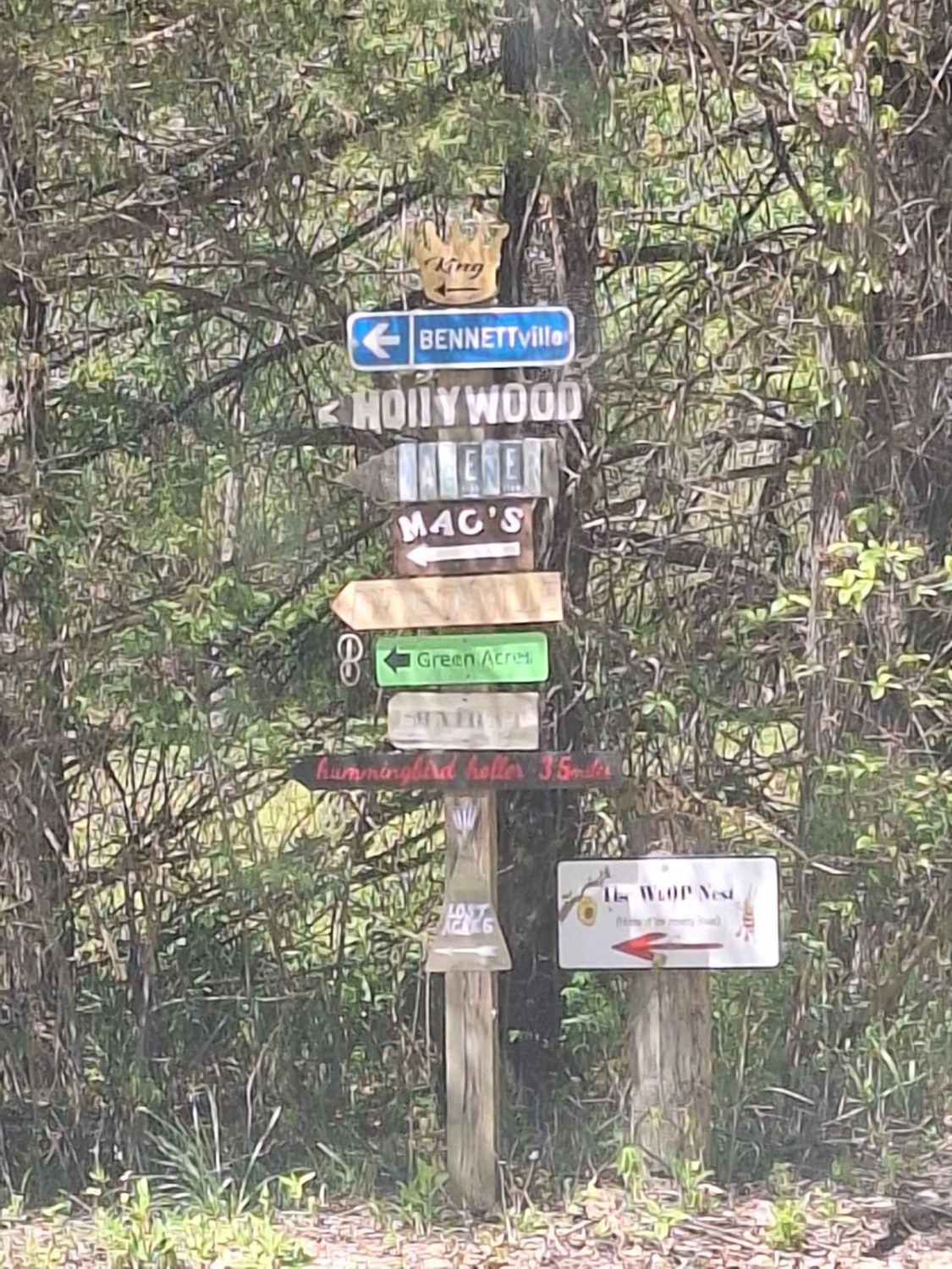
Jeepers Sleepers
Total Miles
0.9
Tech Rating
Easy
Best Time
Spring, Summer, Fall, Winter
Learn more about Jimmy's Way
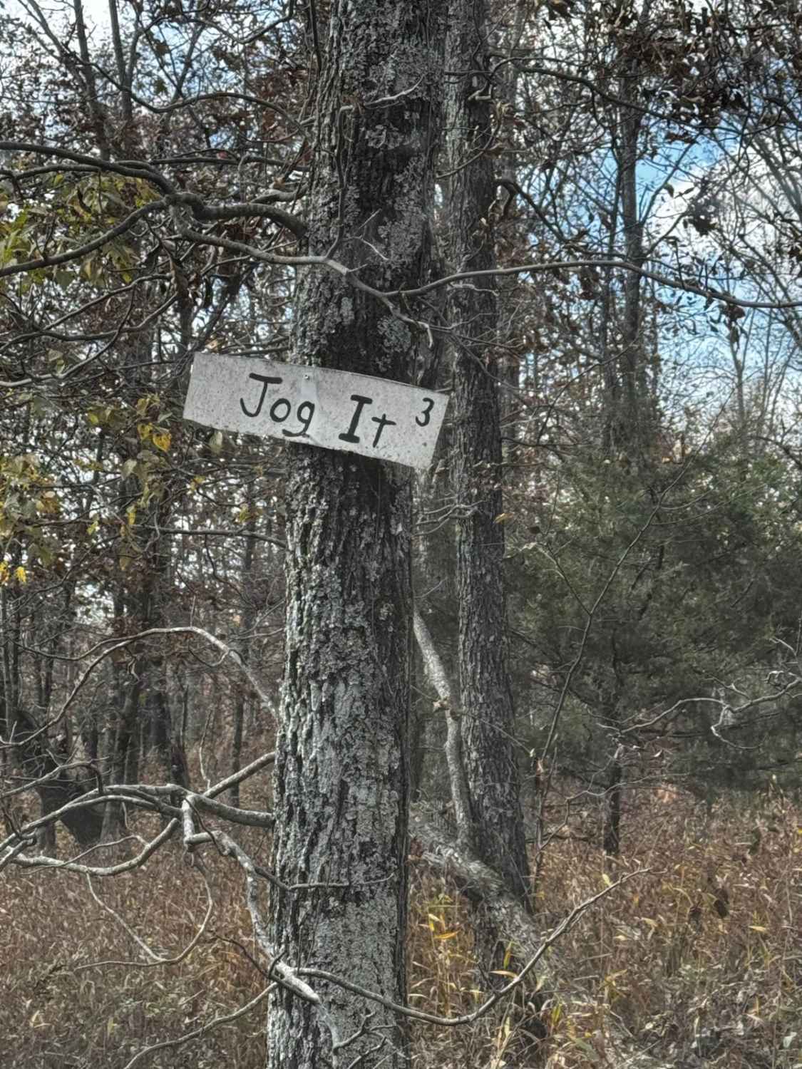
Jimmy's Way
Total Miles
0.0
Tech Rating
Extreme
Best Time
Spring, Summer, Fall, Winter
Learn more about Joe Bill Bluff - RD27
Joe Bill Bluff - RD27
Total Miles
2.4
Tech Rating
Easy
Best Time
Summer, Fall, Spring, Winter
Learn more about Johns Creek FSR 2170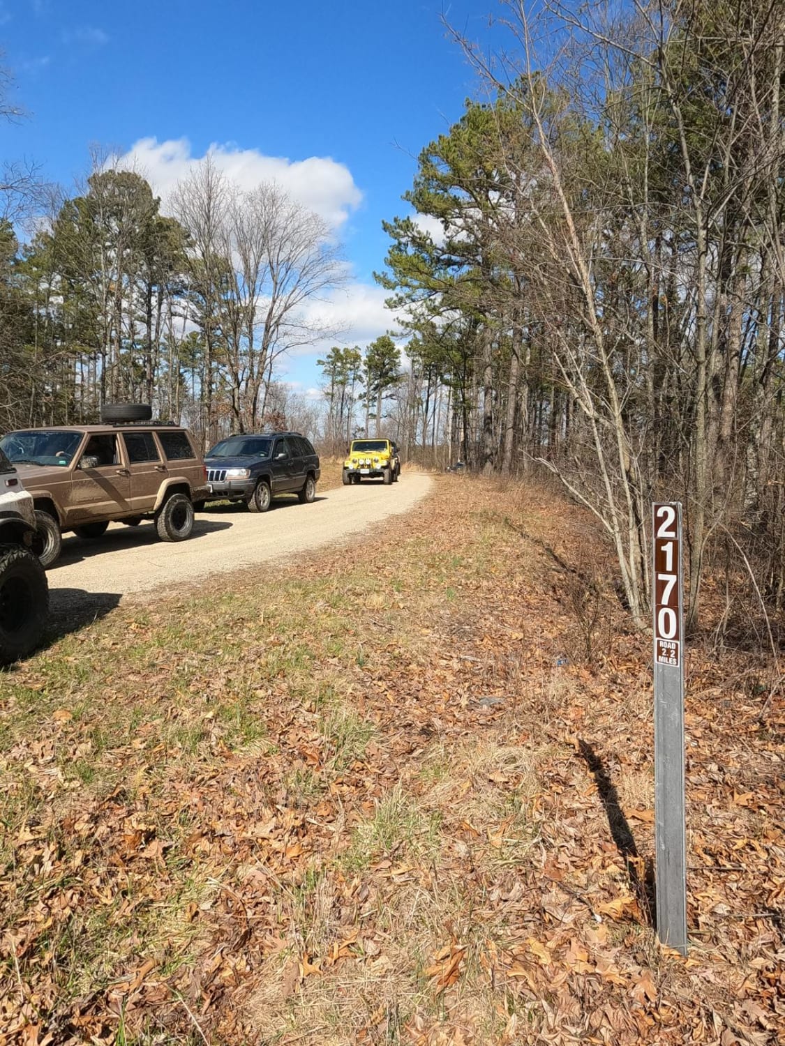
Johns Creek FSR 2170
Total Miles
2.2
Tech Rating
Easy
Best Time
Spring, Summer, Fall, Winter
Learn more about Johnson Mountain FSR 2245/ Logan Mountain FSR 2780
Johnson Mountain FSR 2245/ Logan Mountain FSR 2780
Total Miles
1.2
Tech Rating
Easy
Best Time
Spring, Summer, Fall, Winter
Learn more about Jones Ridge - FSR 175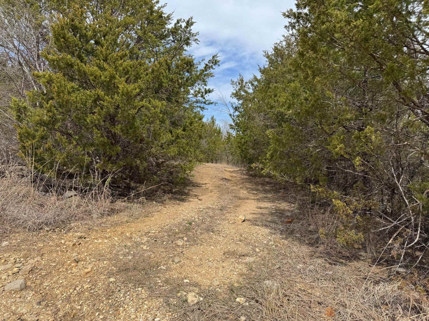
Jones Ridge - FSR 175
Total Miles
1.2
Tech Rating
Moderate
Best Time
Spring, Summer, Fall, Winter
Learn more about Kaintuck Hallow - FS 1592
Kaintuck Hallow - FS 1592
Total Miles
4.0
Tech Rating
Easy
Best Time
Spring, Fall, Summer
Learn more about Kanes Candy Lane
Kanes Candy Lane
Total Miles
0.2
Tech Rating
Moderate
Best Time
Spring, Summer, Fall, Winter
Learn more about Kanes Right Side
Kanes Right Side
Total Miles
0.1
Tech Rating
Difficult
Best Time
Summer, Fall, Winter, Spring
Learn more about Karakaghne Scenic Drive
Karakaghne Scenic Drive
Total Miles
8.6
Tech Rating
Easy
Best Time
Fall
Learn more about Kathy's Bridge Road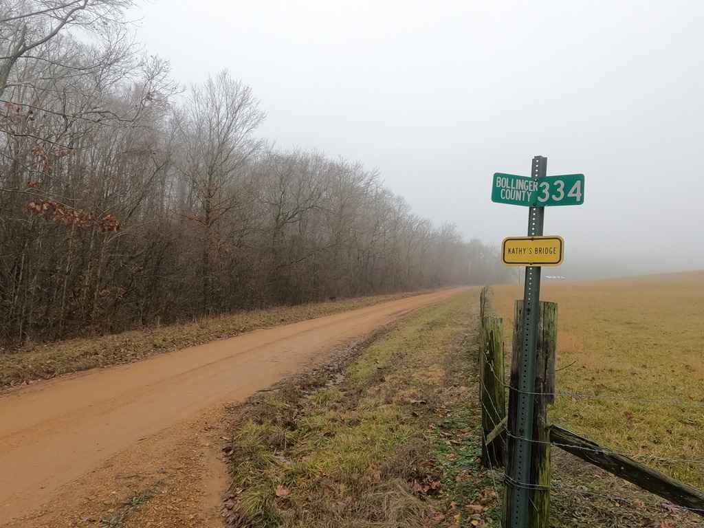
Kathy's Bridge Road
Total Miles
1.4
Tech Rating
Easy
Best Time
Spring, Summer, Fall, Winter
Learn more about Keller Circle
Keller Circle
Total Miles
0.4
Tech Rating
Easy
Best Time
Spring, Summer, Fall
Learn more about Kelly Ridge- FSR 3075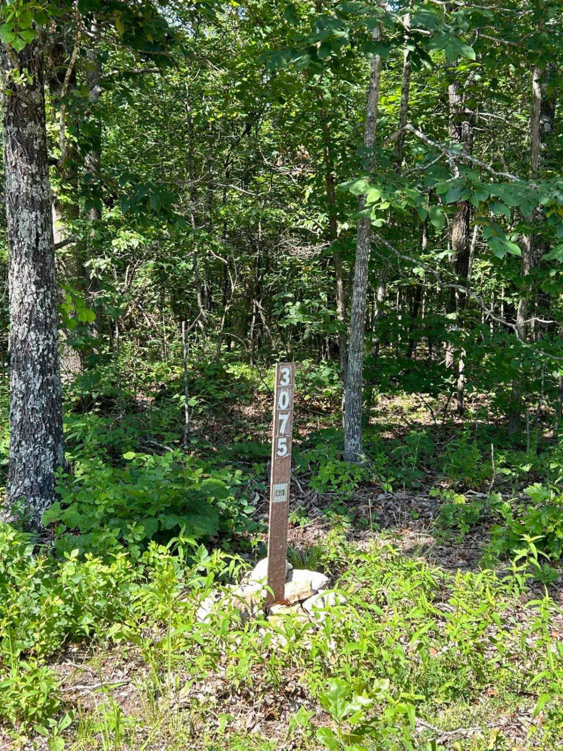
Kelly Ridge- FSR 3075
Total Miles
3.7
Tech Rating
Easy
Best Time
Fall, Winter
Learn more about Kemlin Hollow - FS 2627
Kemlin Hollow - FS 2627
Total Miles
0.5
Tech Rating
Easy
Best Time
Spring, Summer, Fall, Winter
Learn more about Kenny Wayne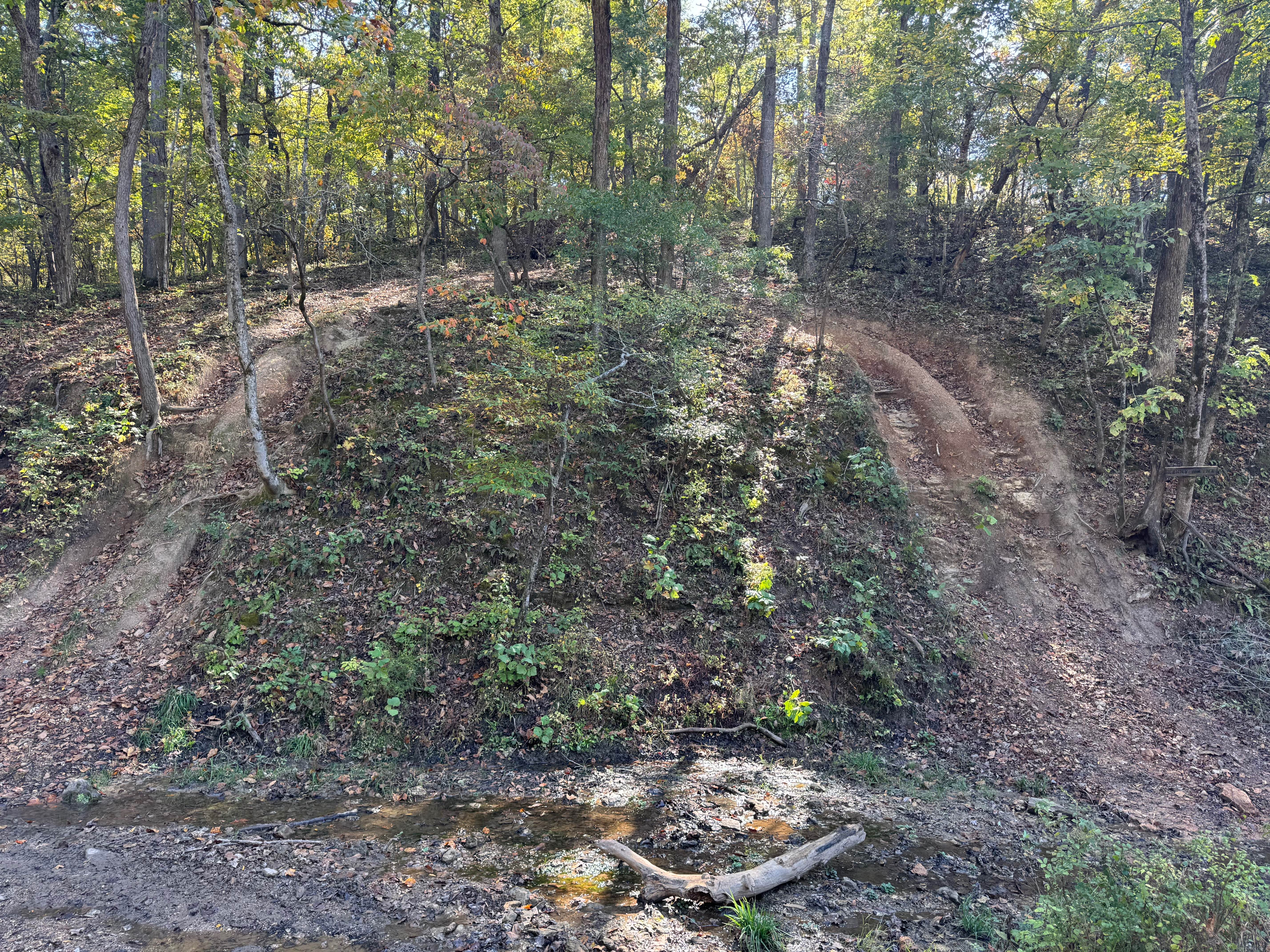
Kenny Wayne
Total Miles
0.0
Tech Rating
Difficult
Best Time
Spring, Summer, Fall, Winter
Learn more about Klepzig Mill - SCR 522
Klepzig Mill - SCR 522
Total Miles
4.8
Tech Rating
Moderate
Best Time
Spring, Summer, Fall, Winter
Learn more about Knob Lick Tower Road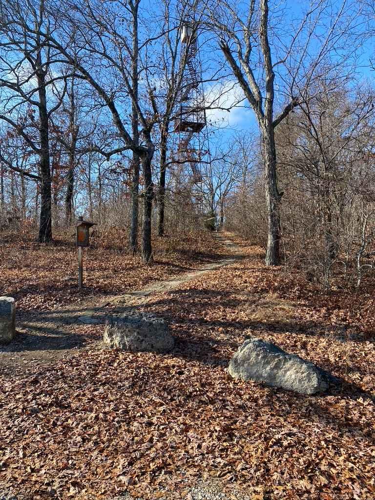
Knob Lick Tower Road
Total Miles
1.0
Tech Rating
Easy
Best Time
Spring, Fall, Summer, Winter
Learn more about Laflin Road - BCR 408
Laflin Road - BCR 408
Total Miles
2.8
Tech Rating
Easy
Best Time
Spring, Summer, Fall, Winter
ATV trails in Missouri


Learn more about 4 of 5
4 of 5
Total Miles
0.0
Tech Rating
Difficult
Best Time
Spring, Summer, Fall, Winter
UTV/side-by-side trails in Missouri
Learn more about 4 of 5
4 of 5
Total Miles
0.0
Tech Rating
Difficult
Best Time
Spring, Summer, Fall, Winter
The onX Offroad Difference
onX Offroad combines trail photos, descriptions, difficulty ratings, width restrictions, seasonality, and more in a user-friendly interface. Available on all devices, with offline access and full compatibility with CarPlay and Android Auto. Discover what you’re missing today!