Joe Bill Bluff - RD27
Total Miles
2.4
Technical Rating
Best Time
Summer, Fall, Spring, Winter
Trail Type
Full-Width Road
Accessible By
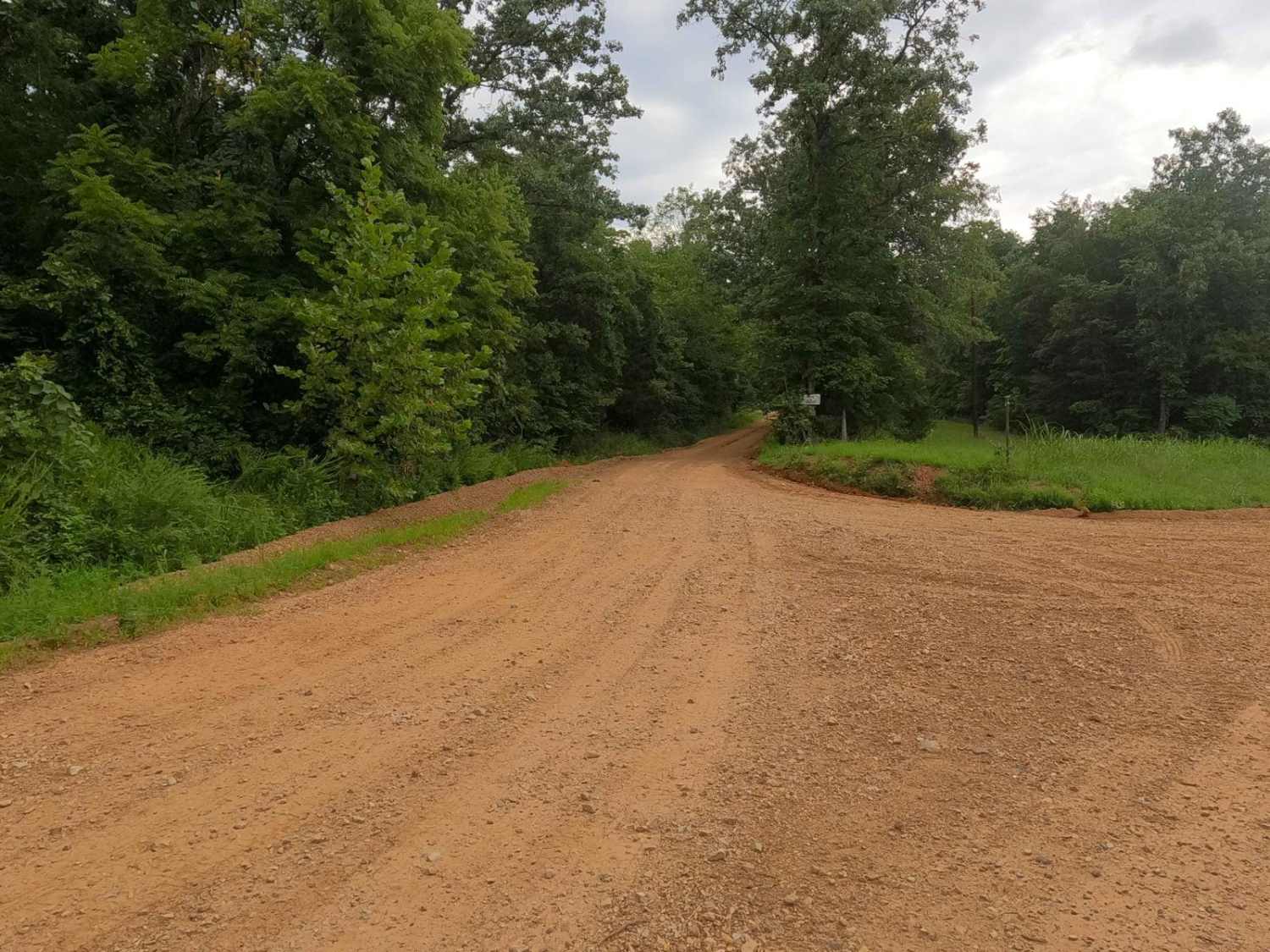
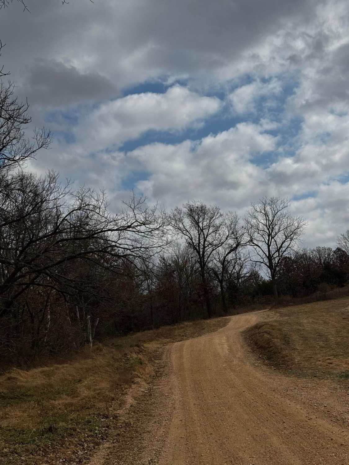
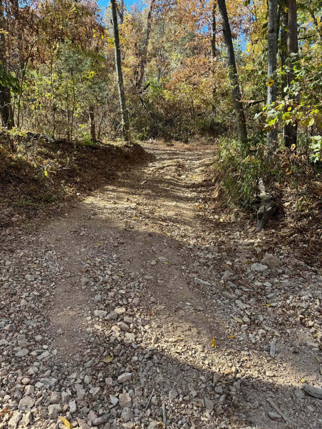
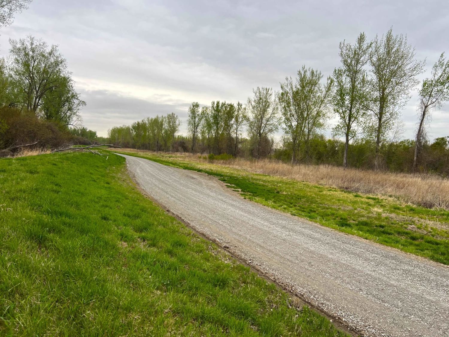
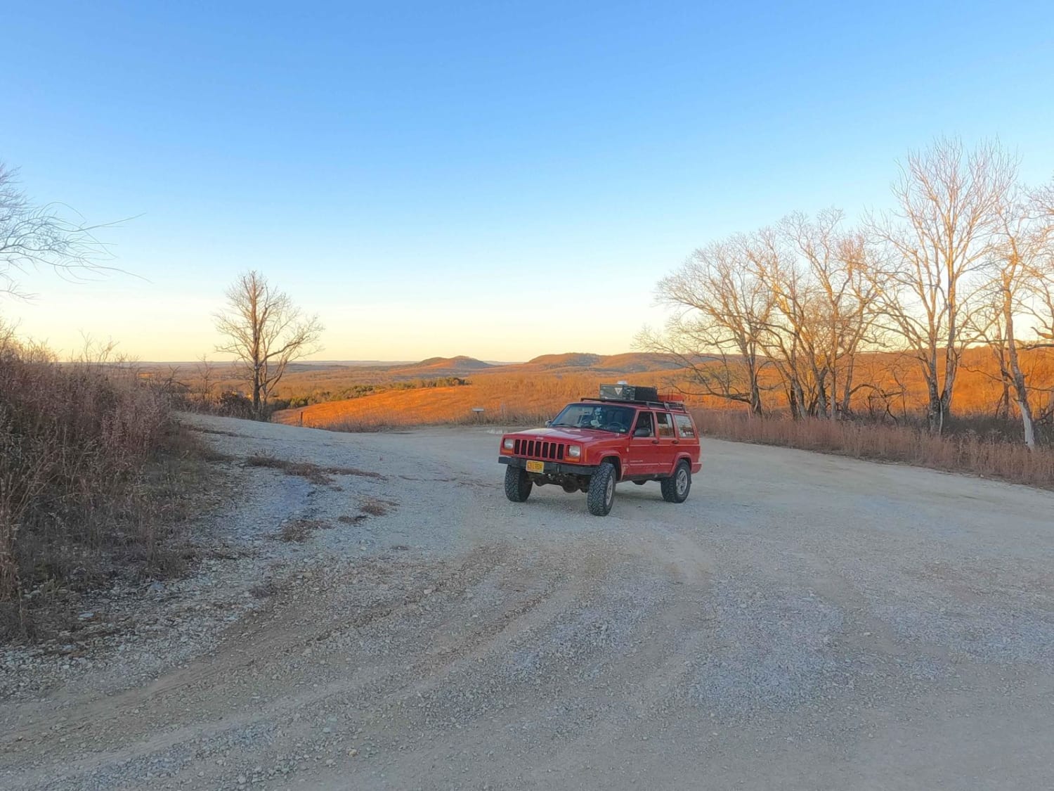
Trail Overview
Joe Bill Bluff or Corps of Engineers Road 27, formerly the Wayne County Road 381, is a maintained gravel road that transforms into a river gravel bar trail along the St. Francis River within the Corps of Engineers Wappapello Lake District. The trail features maintained gravel on the higher land leading to the river, before dropping to the bottoms, the trail quickly converts to natural course gravel along the river's bank, with occasional sand and dirt sections and mild water collection points. These gravel bars feature many points to access the river's edge and swim, put in or take out kayaks, or enjoy the river going by. The Meador Cemetery is located off the maintained gravel section, on a spur heading south to 37.16888, -90.5005. The hiking-based Ozark Trail crosses the road and has a parking area at 37.16897, -90.49953. Where the trail meets the river, there is an established Corps dispersed camp at 37.17387, -90.49496. The rules are simple, don't put tires in the water of the river, stay on the defined paths, and don't create new trails.
Photos of Joe Bill Bluff - RD27

Difficulty
The Joe Bill Bluff RD 27 can have a spread of terrain depending on the season. At its easiest, it can be dried out and rated at 2/10, only having small unpacked creek gravel mounds on the gravel bars and short sandy whoops in the treeline section of the trail. The given 3/10 rating comes from the average state between dry and wet conditions. With average rain, rainwater comes downhill into these bottoms, the water holes fill with up to a foot of water, and dirt turns to surface mud. In heavier rains and flooding, the river unpacks and rearranges the gravel bars and fine sand to have newly formed sudden mounds, dips, and dives up to a foot tall or deeper, with the potential of taller dune-like creek gravel mounds to crawl over. Just enough momentum is key to keep moving forward. There is also the potential for flash flooding. For reference, the trail should be still completely open when the St Francis River at Patterson water level gauge is reading at under 6 feet. With a flash flood event, the river can increase several feet in minutes, putting water over the trail and yielding extreme rating changes. If any flood water is over the trail, it is best to consider it closed as it would be unpredictable.
History
The Job Meador Cemetery can be found on this road midway through the track at 37.1688, -90.50047. It features gravesites of the Meador family dating from 1795 to the early 1900s. The cemetery is gated and requires walking to be witnessed. Please show respect to those who came before us, and leave the cemetery the same or better than you found it.
Status Reports
Joe Bill Bluff - RD27 can be accessed by the following ride types:
- High-Clearance 4x4
- SUV
Joe Bill Bluff - RD27 Map
Popular Trails
Main Park Entrance Trail
Glade Top North - FS 147
The onX Offroad Difference
onX Offroad combines trail photos, descriptions, difficulty ratings, width restrictions, seasonality, and more in a user-friendly interface. Available on all devices, with offline access and full compatibility with CarPlay and Android Auto. Discover what you’re missing today!