Glade Top North - FS 147
Total Miles
8.4
Technical Rating
Best Time
Spring, Summer, Fall, Winter
Trail Type
Full-Width Road
Accessible By
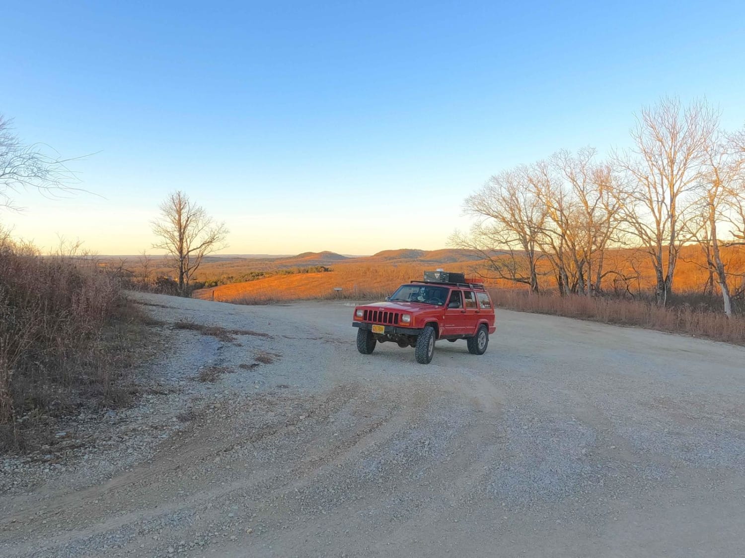
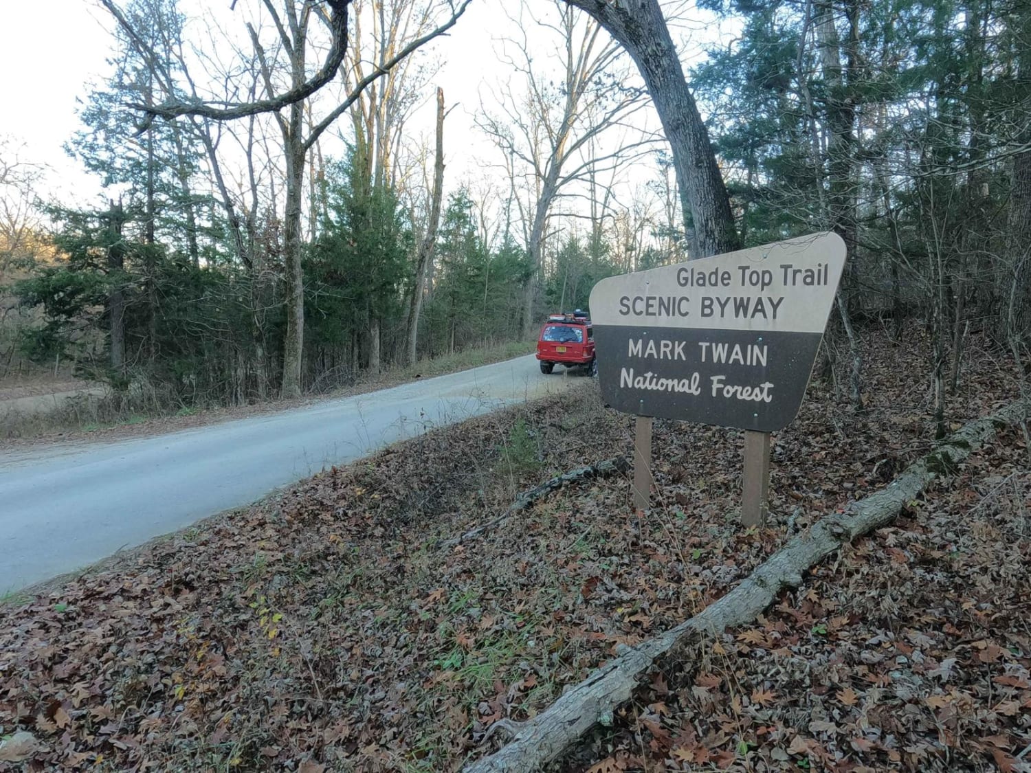
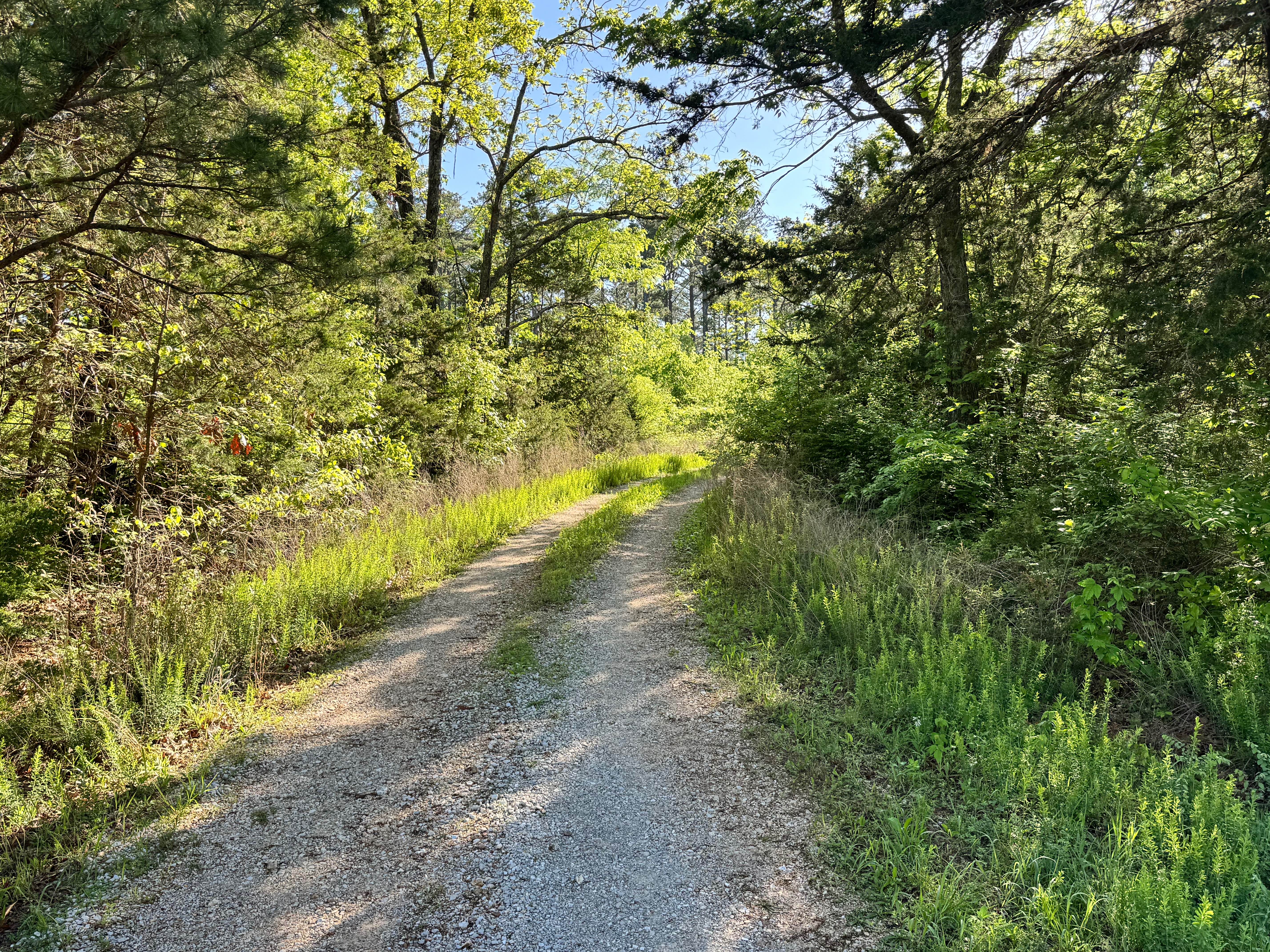
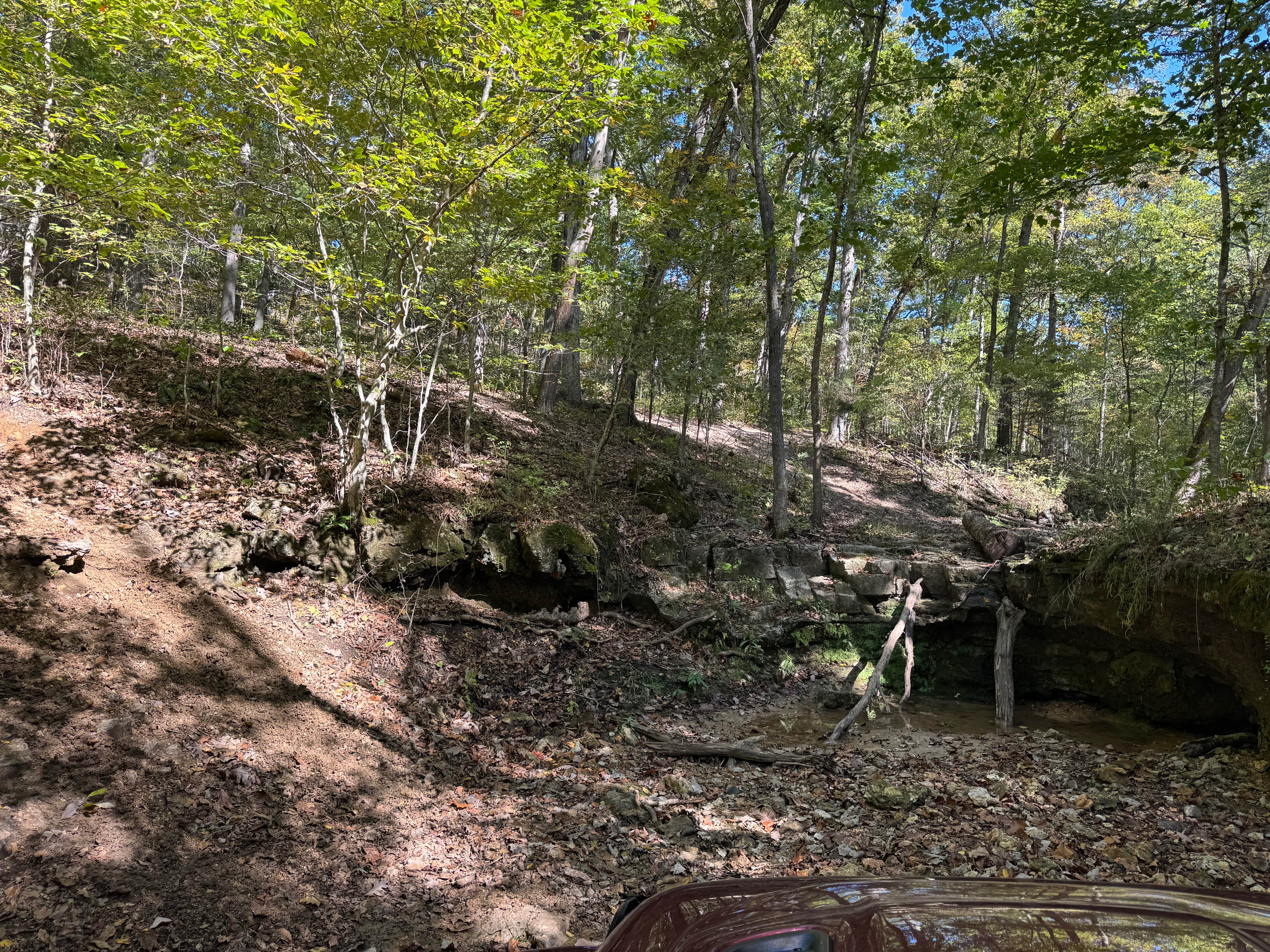
Trail Overview
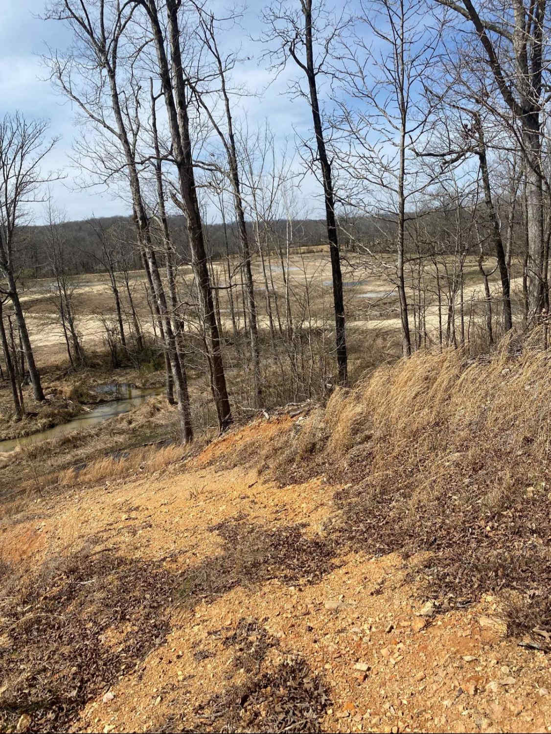
Glade Top North FS 147 is the northern 8.5-mile section of the maintained gravel forestry road from the north endpoint at the Douglas/Ozark County Line to the Pinnacle Mountain intersection. This is part of the official Glade Top National Scenic Byway within Mark Twain National Forest, Ava Unit. If desiring widespread views of natural ridge-top forest scenery, across the northern Ozark landscape, look no further. Glade Top boasts breathtaking views for miles, showing off the rolling hilly area surrounding the maintained gravel road. These roads are the foundational means of traversing the area from end to end or the access points of the side trails. On this northern Glade Top section are many roadside dispersed camping sites, overlook spots (such as Smoke Tree Scene, Arkansas View, and Watershed Divide), and picnic locations (Haden Park Picnic, and Caney Day Use Area). A notable midway intersection on the North FS 147 is with the Pond Fork FS 145. Here, the FS 145 shoots westward from 36.78998, -92.72970, and also has a great overlook location facing north. At this intersection, the 147 makes a hard U-shaped turn. The Caney Day Use Area at 36.74533, -92.75939 has a few unique features, including a vault toilet bathroom, the still standing/non-climbable Caney Fire Tower to the east at 36.74713, -92.75521, an Amphitheater at 36.74435, -92.75888, and a small natural cave at 36.74603, -92.75951. It's one of Missouri's most gorgeous gravel roads; if there is only time for one scenic Glade Top road, this is the one to aim for.
Photos of Glade Top North - FS 147
Difficulty
The difficulty of the Glade Top North FS 147 is minimal. Along its track, you'll encounter mild graded incline/declines, potholes, washboarding, and mounding of the gravel. In spots, there may also be natural rock sticking out at the road surface. It's given a 1/10 for this simplicity. Difficulty could increase in times of wet and inclement conditions and after heavy use, but the road is rarely left in a rough state.
History
The Glade Top Trail is a Civilian Conservation Corps [CCC] built road that was designated a Scenic Byway in 1989. Portions of Forest Roads 147, 149, and 150 comprise the trail. The trail follows a series of ridgetops through the central glade area of the White River Hills. The Glade Top Trail is little changed from the original road constructed by the Civilian Conservation Corps in the late 1930s. For twenty-three miles, the two-lane, all-weather gravel road follows narrow ridge tops rising approximately 500 feet above the surrounding rolling countryside and overlooks and passes through many limestone/dolomite glades interspersed with open and closed woodlands. (Sourced from the USDA website.)
Status Reports
Glade Top North - FS 147 can be accessed by the following ride types:
- High-Clearance 4x4
- SUV
Glade Top North - FS 147 Map
Popular Trails
Independent - FS 1756
Upper Waterfall

Yellow 259
Commitment Hill Climb 8
The onX Offroad Difference
onX Offroad combines trail photos, descriptions, difficulty ratings, width restrictions, seasonality, and more in a user-friendly interface. Available on all devices, with offline access and full compatibility with CarPlay and Android Auto. Discover what you’re missing today!