Off-Road Trails in Missouri
Discover off-road trails in Missouri
Learn more about Hillside Climb Access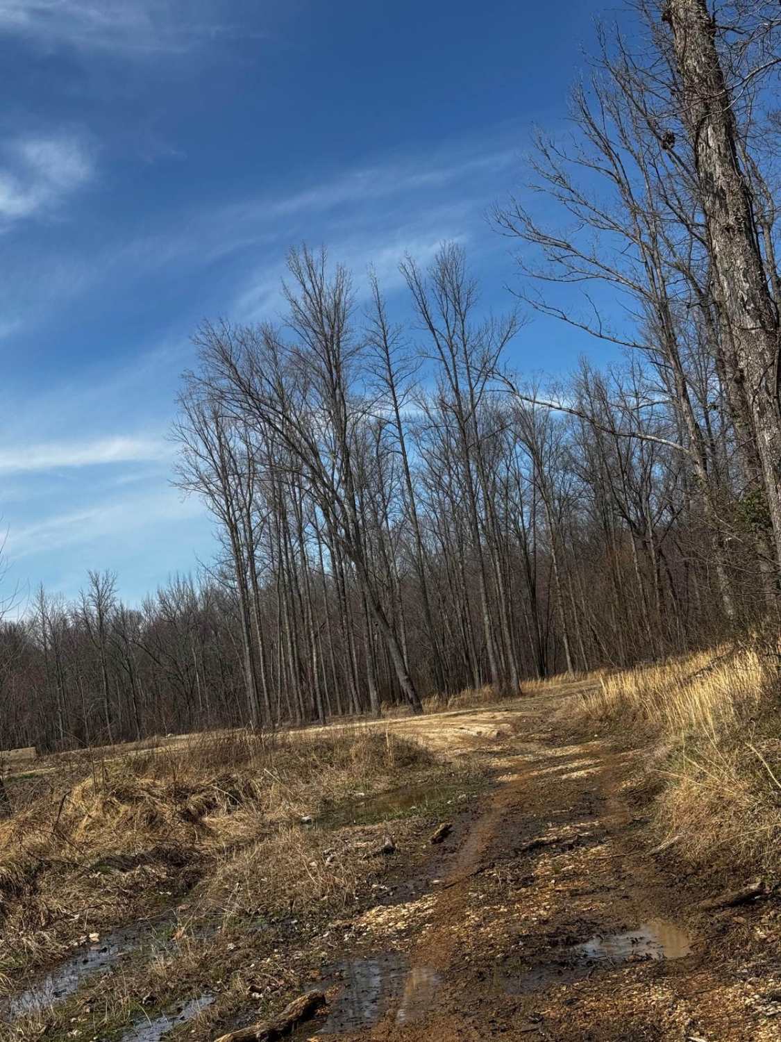
Hillside Climb Access
Total Miles
0.1
Tech Rating
Easy
Best Time
Summer, Fall, Winter
Learn more about Hillside Drive 142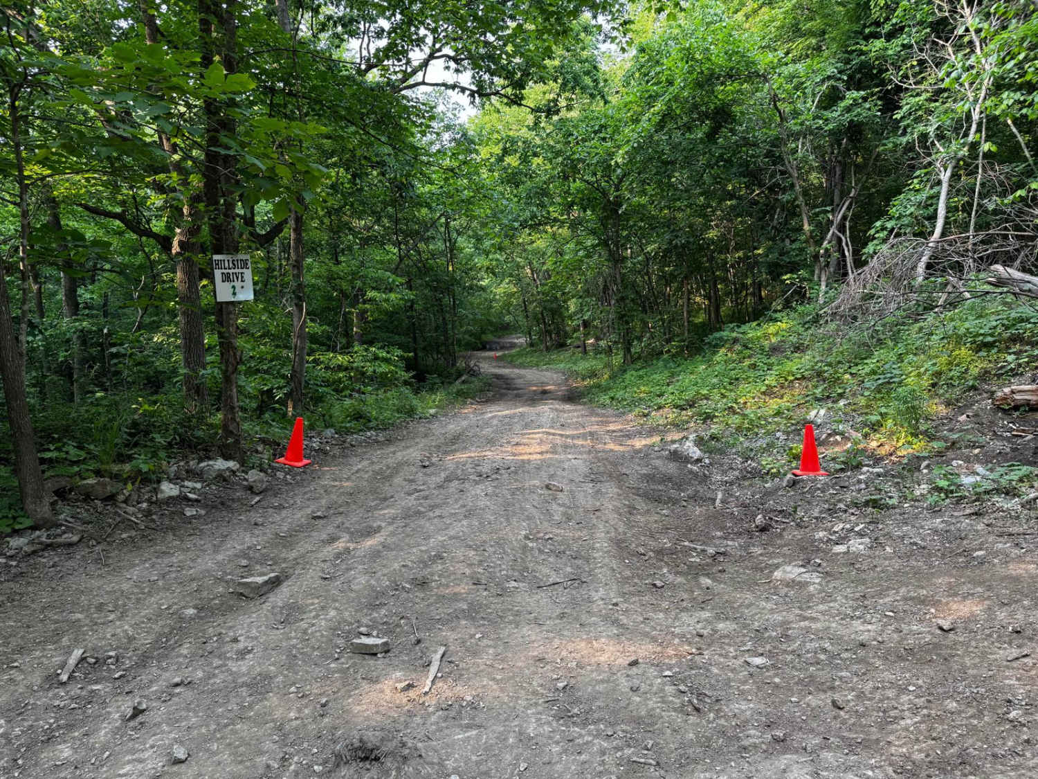
Hillside Drive 142
Total Miles
0.2
Tech Rating
Moderate
Best Time
Spring, Summer, Fall
Learn more about Hillside Loop 1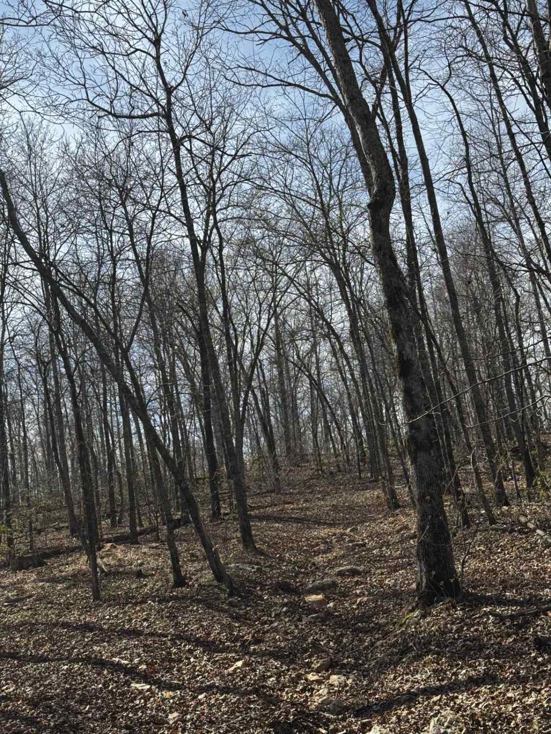
Hillside Loop 1
Total Miles
0.3
Tech Rating
Easy
Best Time
Spring, Summer, Fall, Winter
Learn more about Hillside to Camp Loop 7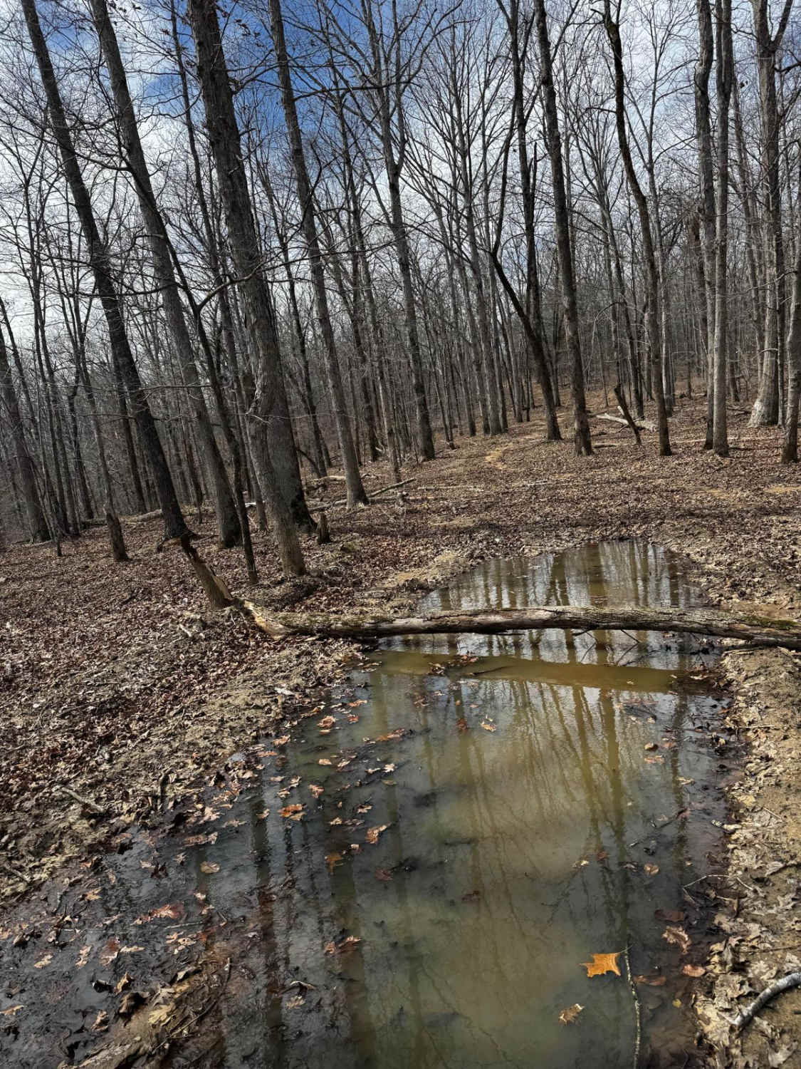
Hillside to Camp Loop 7
Total Miles
0.7
Tech Rating
Easy
Best Time
Summer, Fall, Winter, Spring
Learn more about Hillside Track 2
Hillside Track 2
Total Miles
0.1
Tech Rating
Easy
Best Time
Spring, Summer, Fall, Winter
Learn more about Hillside Track 3
Hillside Track 3
Total Miles
0.1
Tech Rating
Easy
Best Time
Spring, Summer, Fall, Winter
Learn more about Hillside Trail
Hillside Trail
Total Miles
0.3
Tech Rating
Easy
Best Time
Spring, Summer, Fall, Winter
Learn more about Hillside Trail 4
Hillside Trail 4
Total Miles
0.1
Tech Rating
Easy
Best Time
Spring, Summer, Fall, Winter
Learn more about Hixon Hollow 177
Hixon Hollow 177
Total Miles
0.2
Tech Rating
Difficult
Best Time
Spring, Summer, Fall, Winter
Learn more about Holmes Chapel FSR 3613
Holmes Chapel FSR 3613
Total Miles
3.2
Tech Rating
Easy
Best Time
Spring, Fall
Learn more about Holmes School FSR 3614
Holmes School FSR 3614
Total Miles
2.2
Tech Rating
Easy
Best Time
Spring, Fall
Learn more about Horse Hollow - SCR 319A
Horse Hollow - SCR 319A
Total Miles
5.3
Tech Rating
Moderate
Best Time
Spring, Summer, Fall, Winter
Learn more about Horseshoe loop 
Horseshoe loop
Total Miles
0.1
Tech Rating
Moderate
Best Time
Spring, Summer, Fall, Winter
Learn more about Horseshoe Obstacle 1
Horseshoe Obstacle 1
Total Miles
0.0
Tech Rating
Easy
Best Time
Spring, Fall, Winter, Summer
Learn more about Horseshoe Obstacle 2
Horseshoe Obstacle 2
Total Miles
0.0
Tech Rating
Difficult
Best Time
Spring, Summer, Fall, Winter
Learn more about Huckleberry
Huckleberry
Total Miles
0.1
Tech Rating
Easy
Best Time
Spring, Summer, Fall, Winter

ATV trails in Missouri


Learn more about 4 of 5
4 of 5
Total Miles
0.0
Tech Rating
Difficult
Best Time
Spring, Summer, Fall, Winter
UTV/side-by-side trails in Missouri
Learn more about 4 of 5
4 of 5
Total Miles
0.0
Tech Rating
Difficult
Best Time
Spring, Summer, Fall, Winter
The onX Offroad Difference
onX Offroad combines trail photos, descriptions, difficulty ratings, width restrictions, seasonality, and more in a user-friendly interface. Available on all devices, with offline access and full compatibility with CarPlay and Android Auto. Discover what you’re missing today!