Off-Road Trails in Missouri
Discover off-road trails in Missouri


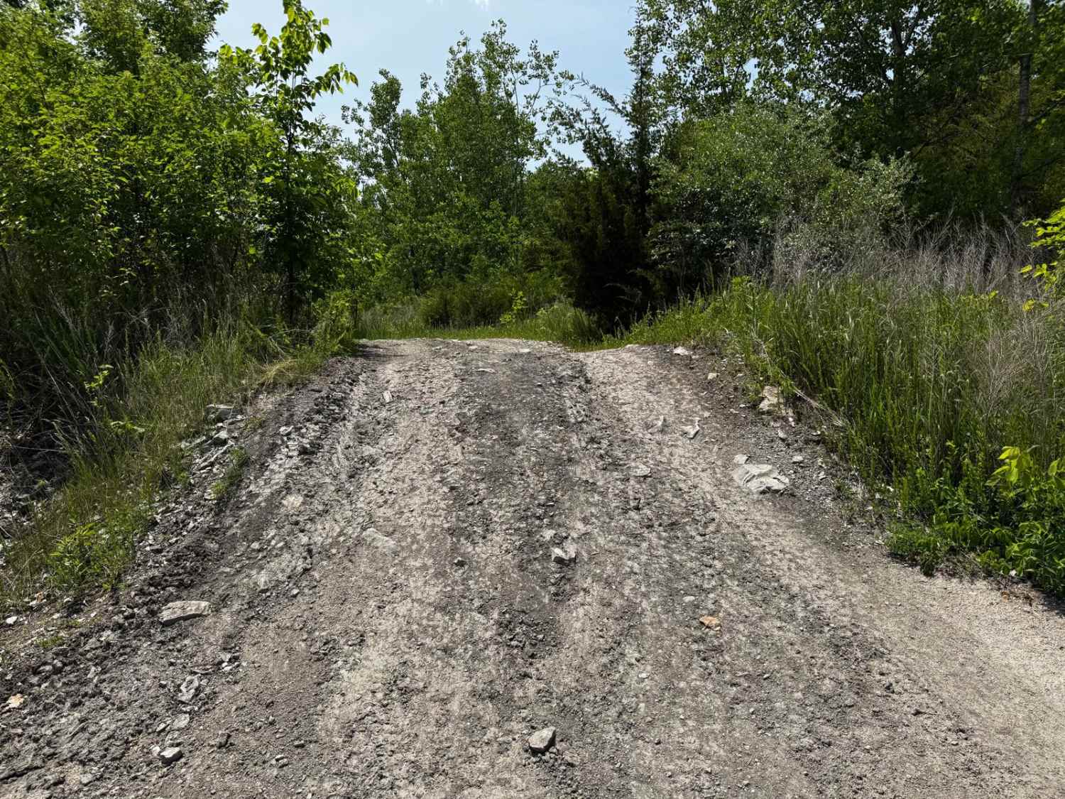
Learn more about Green 81
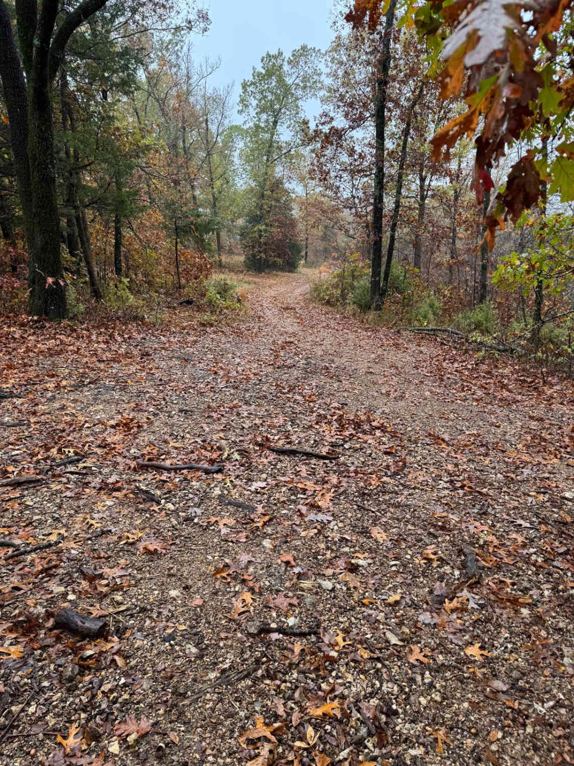
Green 81
Total Miles
0.0
Tech Rating
Moderate
Best Time
Spring, Summer, Fall, Winter
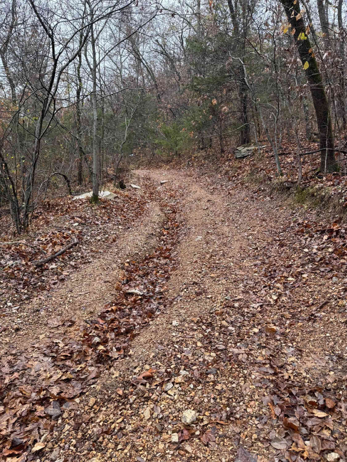
Learn more about Green 96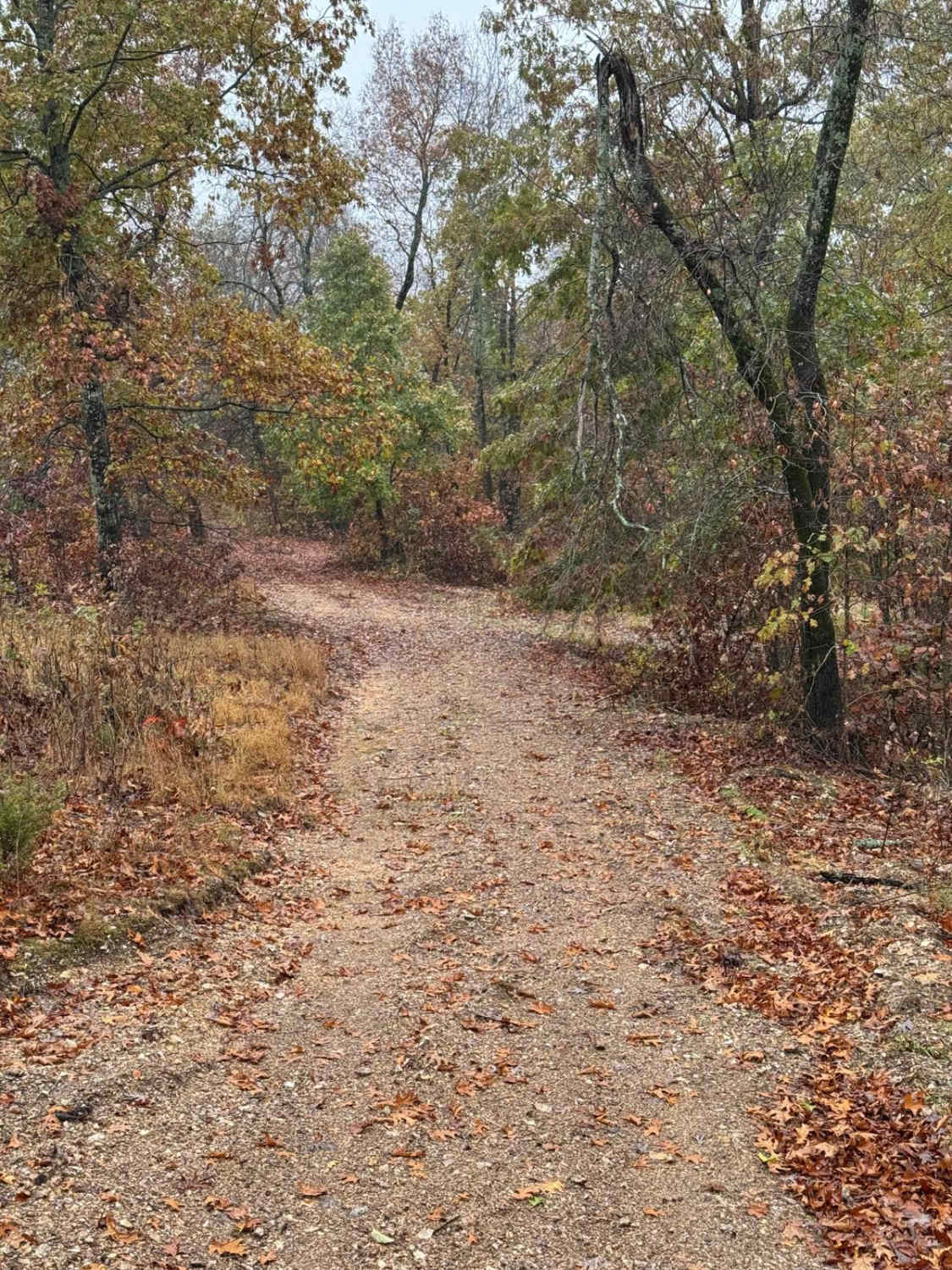
Green 96
Total Miles
0.1
Tech Rating
Moderate
Best Time
Spring, Summer, Fall, Winter
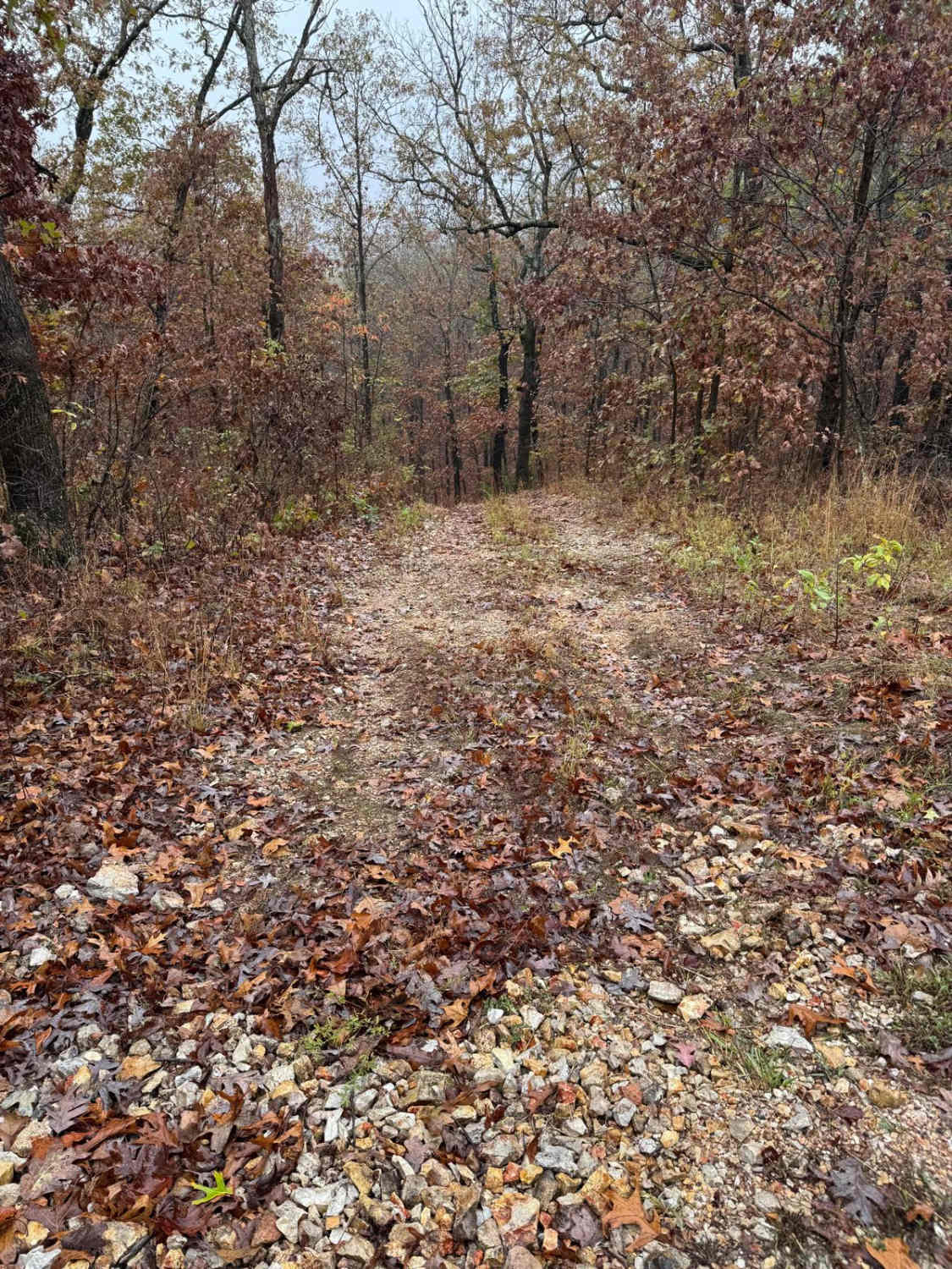
Learn more about Grinch 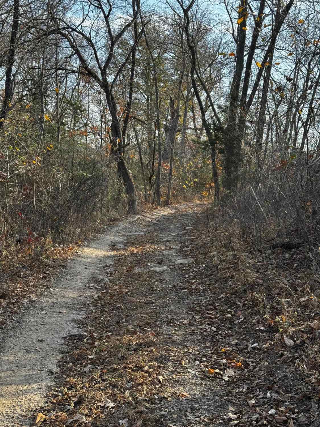
Grinch
Total Miles
0.4
Tech Rating
Moderate
Best Time
Spring, Summer, Fall, Winter
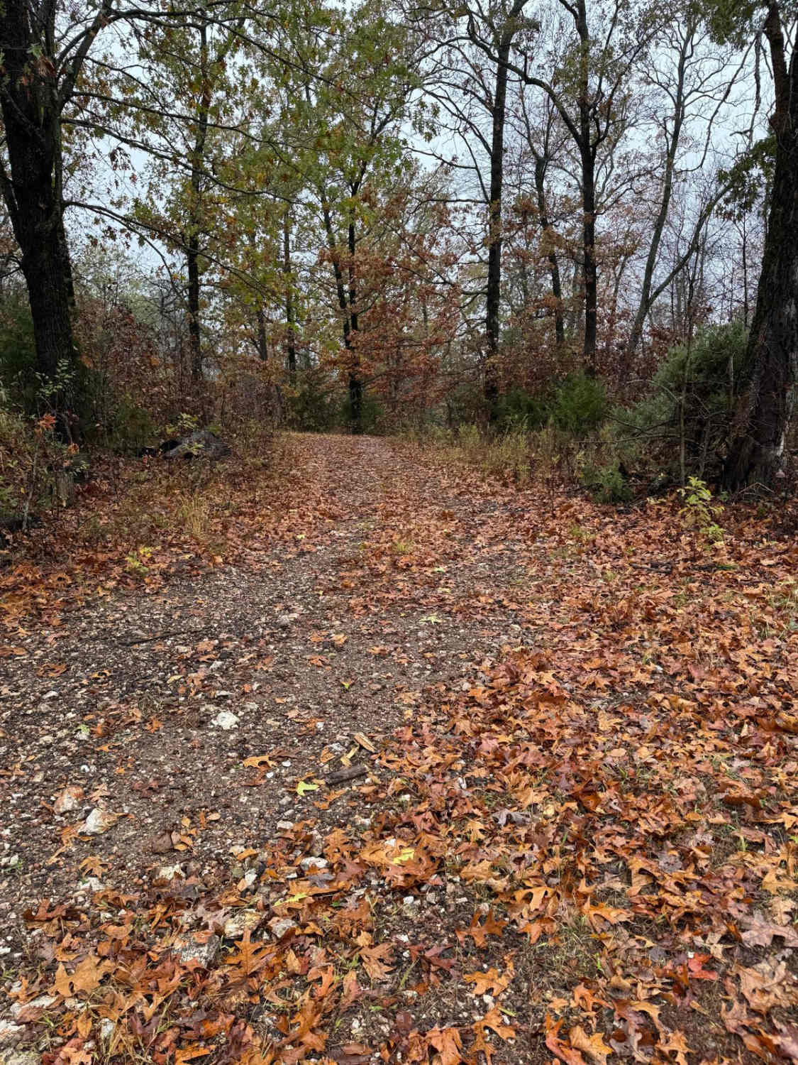
Learn more about Grisham Road
Grisham Road
Total Miles
5.0
Tech Rating
Easy
Best Time
Spring, Summer, Fall, Winter
Learn more about Grounds Creek FSR 2068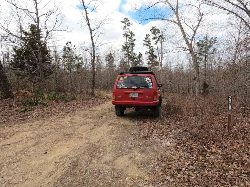
Grounds Creek FSR 2068
Total Miles
0.9
Tech Rating
Easy
Best Time
Spring, Summer, Fall, Winter
ATV trails in Missouri


Learn more about 4 of 5
4 of 5
Total Miles
0.0
Tech Rating
Difficult
Best Time
Spring, Summer, Fall, Winter
UTV/side-by-side trails in Missouri
Learn more about 4 of 5
4 of 5
Total Miles
0.0
Tech Rating
Difficult
Best Time
Spring, Summer, Fall, Winter
The onX Offroad Difference
onX Offroad combines trail photos, descriptions, difficulty ratings, width restrictions, seasonality, and more in a user-friendly interface. Available on all devices, with offline access and full compatibility with CarPlay and Android Auto. Discover what you’re missing today!