Off-Road Trails in Missouri
Discover off-road trails in Missouri
Learn more about Gulf - FS 3821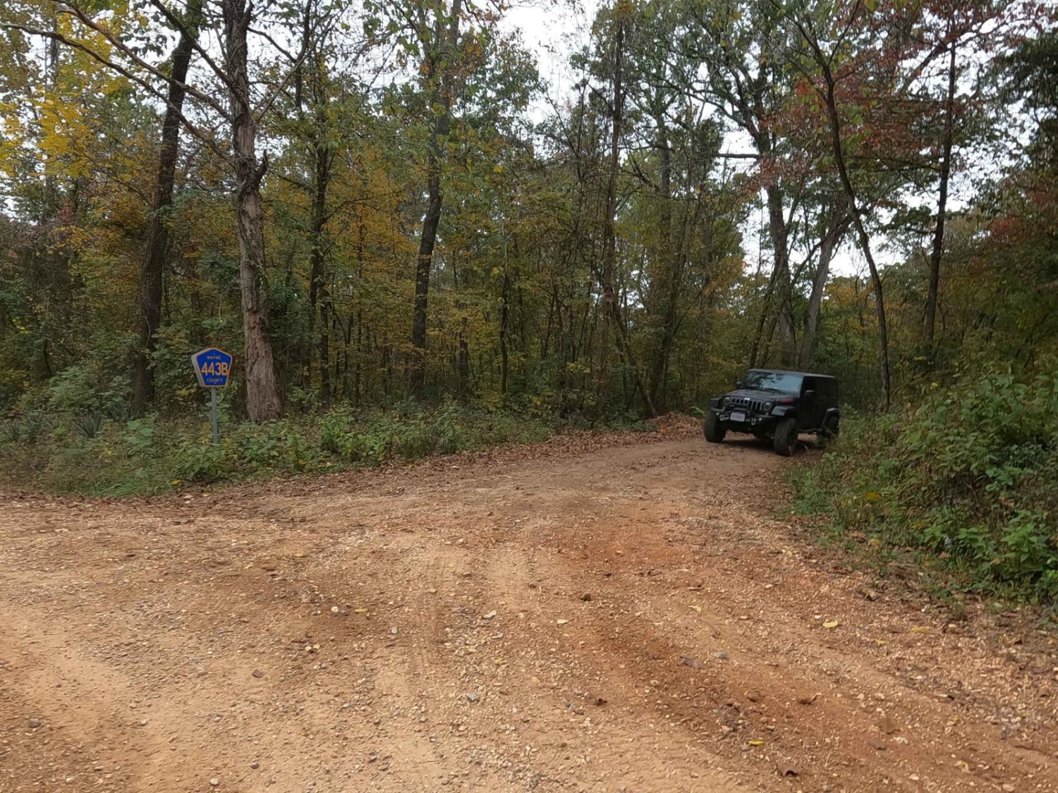
Gulf - FS 3821
Total Miles
0.4
Tech Rating
Easy
Best Time
Spring, Summer, Fall, Winter
Learn more about Hackworth Hollow Trail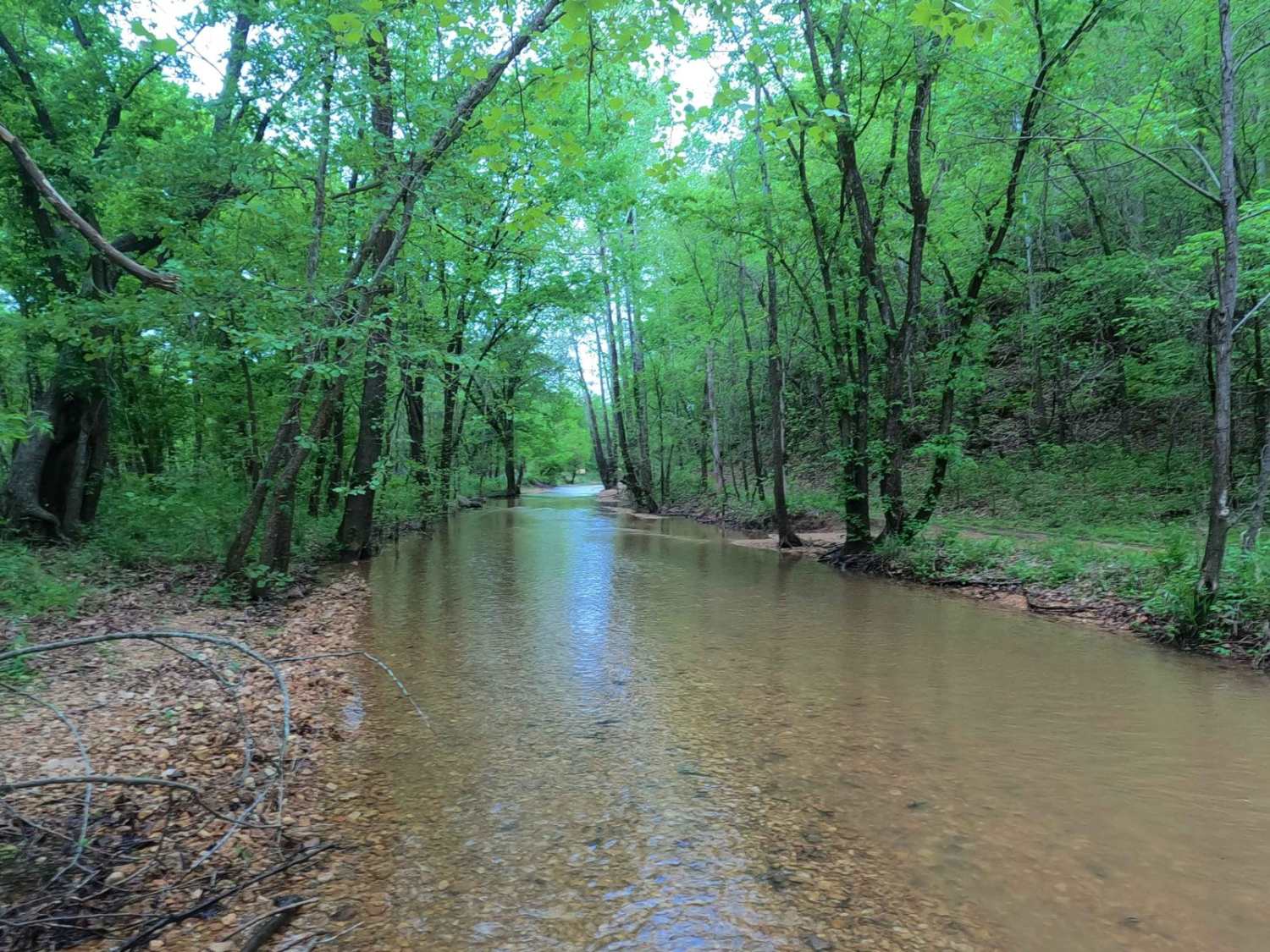
Hackworth Hollow Trail
Total Miles
1.6
Tech Rating
Easy
Best Time
Spring, Summer, Fall, Winter
Learn more about Hale Cemetery - FS 1801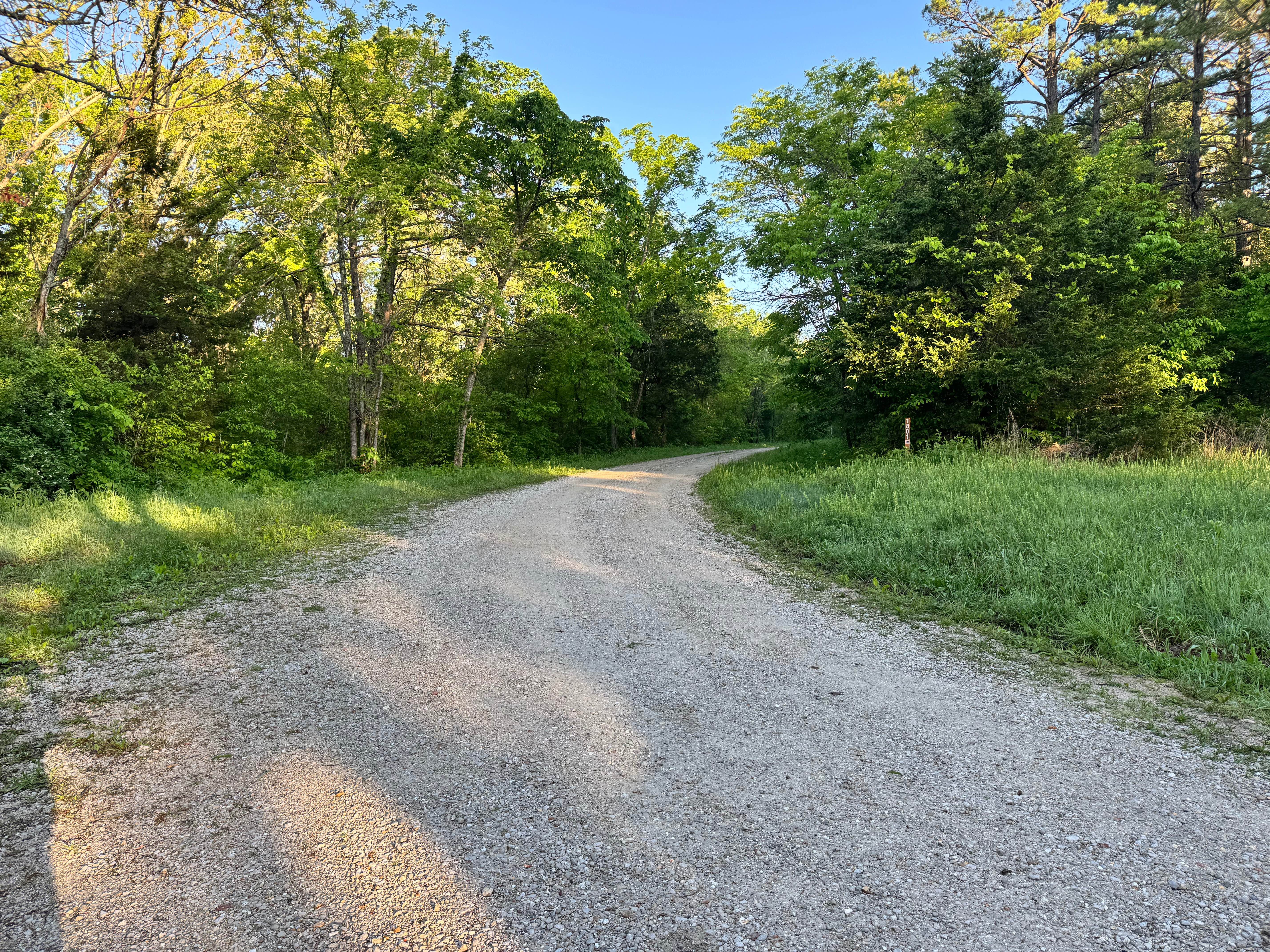
Hale Cemetery - FS 1801
Total Miles
1.5
Tech Rating
Easy
Best Time
Spring, Summer, Fall, Winter
Learn more about Hamilton Ridge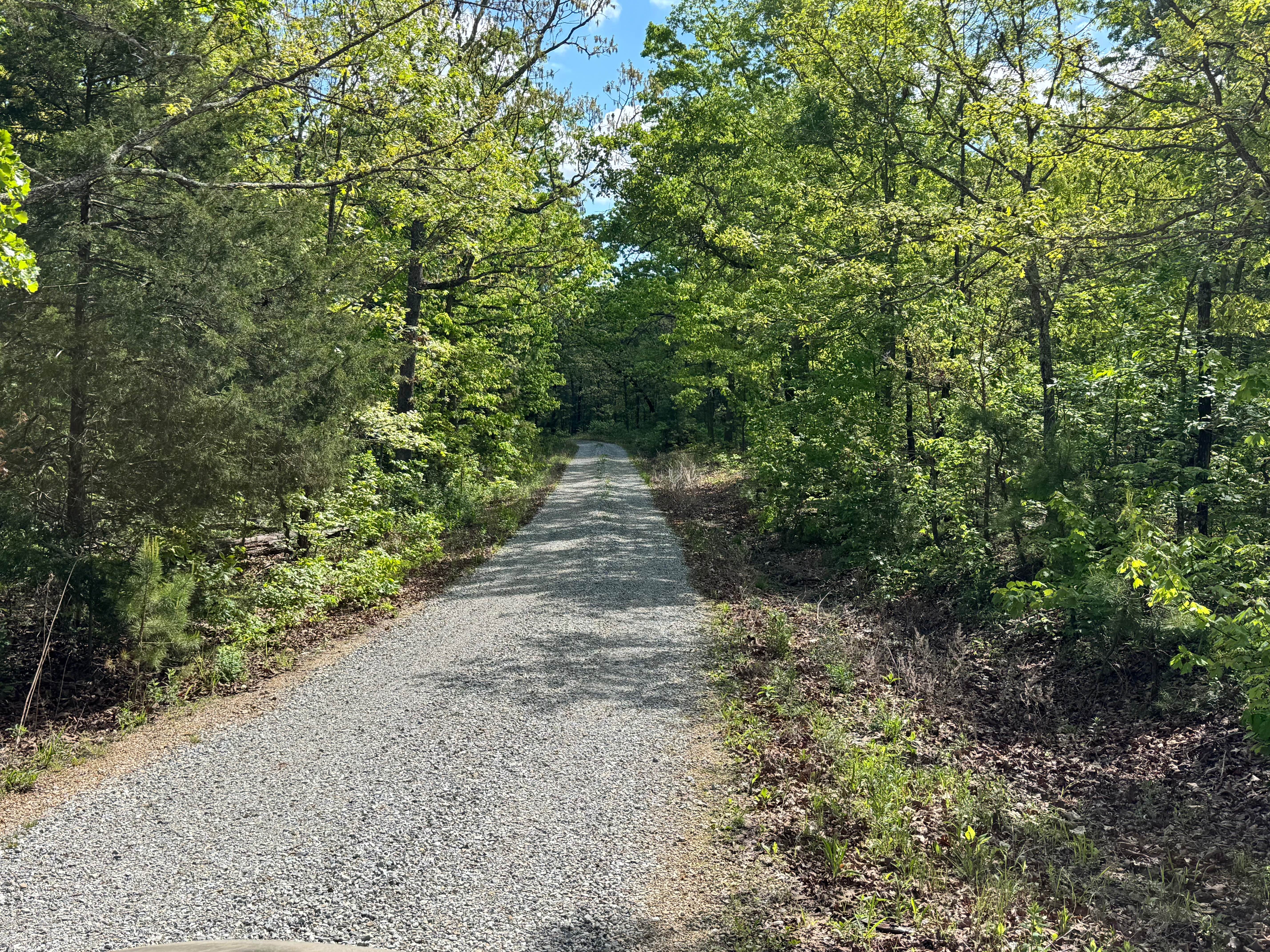
Hamilton Ridge
Total Miles
1.5
Tech Rating
Easy
Best Time
Spring, Summer, Fall, Winter
Learn more about Hamilton Ridge - FS 1769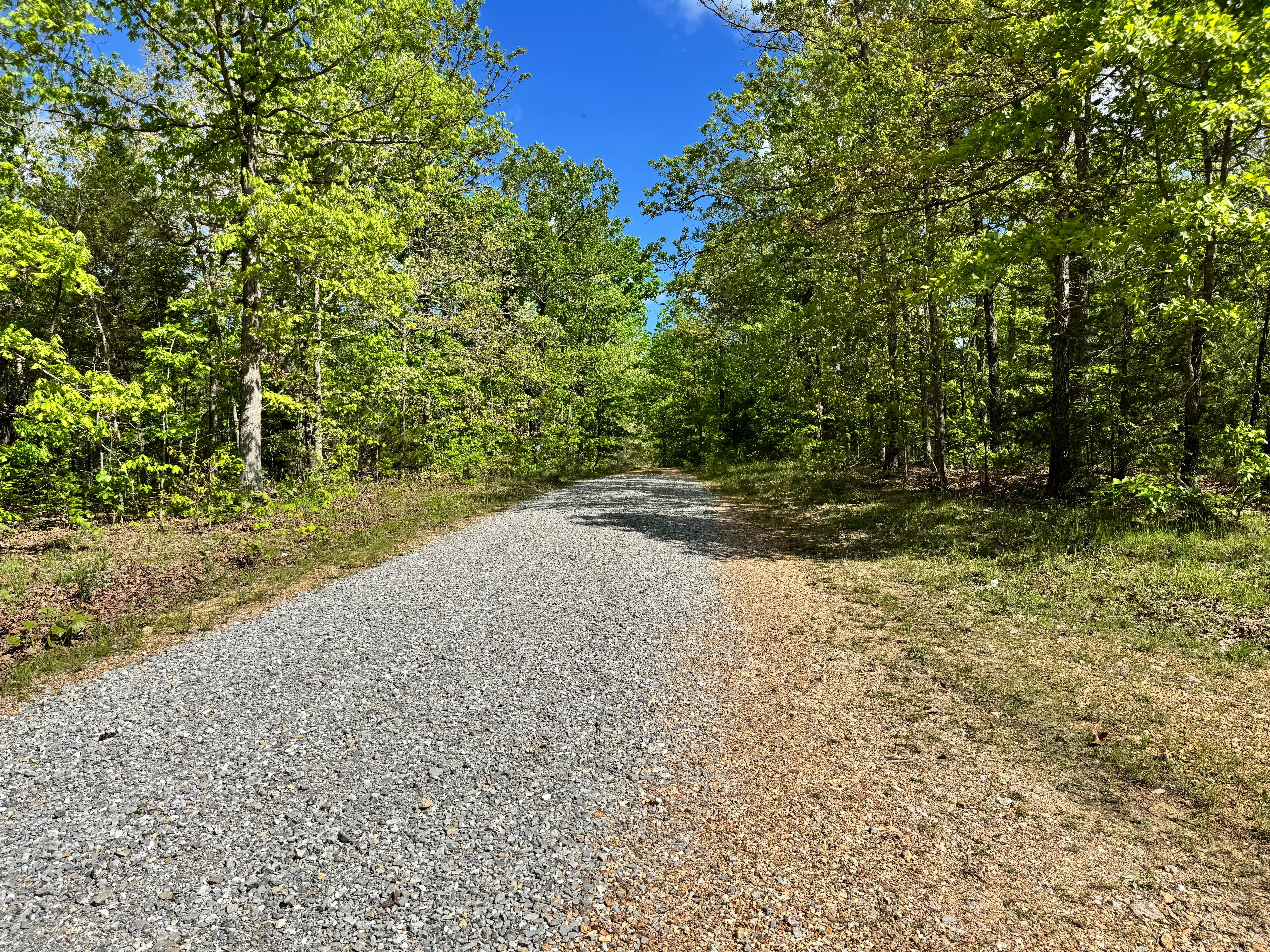
Hamilton Ridge - FS 1769
Total Miles
3.1
Tech Rating
Easy
Best Time
Spring, Summer, Fall, Winter
Learn more about Hammerhead FSR 3804
Hammerhead FSR 3804
Total Miles
1.0
Tech Rating
Easy
Best Time
Spring, Summer, Fall, Winter
Learn more about Handley's Way
Handley's Way
Total Miles
0.2
Tech Rating
Moderate
Best Time
Spring, Summer, Fall, Winter
Learn more about Hang Over Falls 180
Hang Over Falls 180
Total Miles
0.4
Tech Rating
Moderate
Best Time
Spring, Summer, Fall, Winter
Learn more about Hangover Hill 123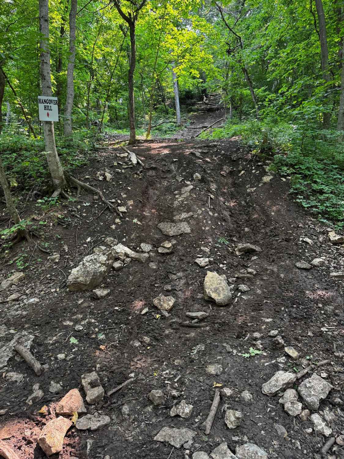
Hangover Hill 123
Total Miles
0.0
Tech Rating
Extreme
Best Time
Spring, Summer, Fall
Learn more about Happy Camper
Happy Camper
Total Miles
0.4
Tech Rating
Easy
Best Time
Spring, Summer, Fall, Winter
Learn more about Happy Hills
Happy Hills
Total Miles
0.3
Tech Rating
Easy
Best Time
Spring, Fall, Summer, Winter
Learn more about Happy Hollow
Happy Hollow
Total Miles
0.6
Tech Rating
Easy
Best Time
Spring, Summer, Fall, Winter
Learn more about Hartle Ford Road
Hartle Ford Road
Total Miles
4.6
Tech Rating
Easy
Best Time
Spring, Summer, Fall, Winter
Learn more about Hay Field Trail
Hay Field Trail
Total Miles
0.4
Tech Rating
Easy
Best Time
Spring, Summer, Fall, Winter
Learn more about Hayfield Trail
Hayfield Trail
Total Miles
4.9
Tech Rating
Easy
Best Time
Spring, Summer, Fall, Winter
Learn more about Headache 120
Headache 120
Total Miles
0.1
Tech Rating
Moderate
Best Time
Spring, Summer, Fall
Learn more about Heather FSR 3829
Heather FSR 3829
Total Miles
2.2
Tech Rating
Easy
Best Time
Spring, Summer, Fall, Winter
Learn more about Heavens Stairs L1
Heavens Stairs L1
Total Miles
0.1
Tech Rating
Easy
Best Time
Spring, Fall, Winter, Summer
ATV trails in Missouri


Learn more about 4 of 5
4 of 5
Total Miles
0.0
Tech Rating
Difficult
Best Time
Spring, Summer, Fall, Winter
UTV/side-by-side trails in Missouri
Learn more about 4 of 5
4 of 5
Total Miles
0.0
Tech Rating
Difficult
Best Time
Spring, Summer, Fall, Winter
The onX Offroad Difference
onX Offroad combines trail photos, descriptions, difficulty ratings, width restrictions, seasonality, and more in a user-friendly interface. Available on all devices, with offline access and full compatibility with CarPlay and Android Auto. Discover what you’re missing today!