Gulf - FS 3821
Total Miles
0.4
Technical Rating
Best Time
Spring, Summer, Fall, Winter
Trail Type
Full-Width Road
Accessible By
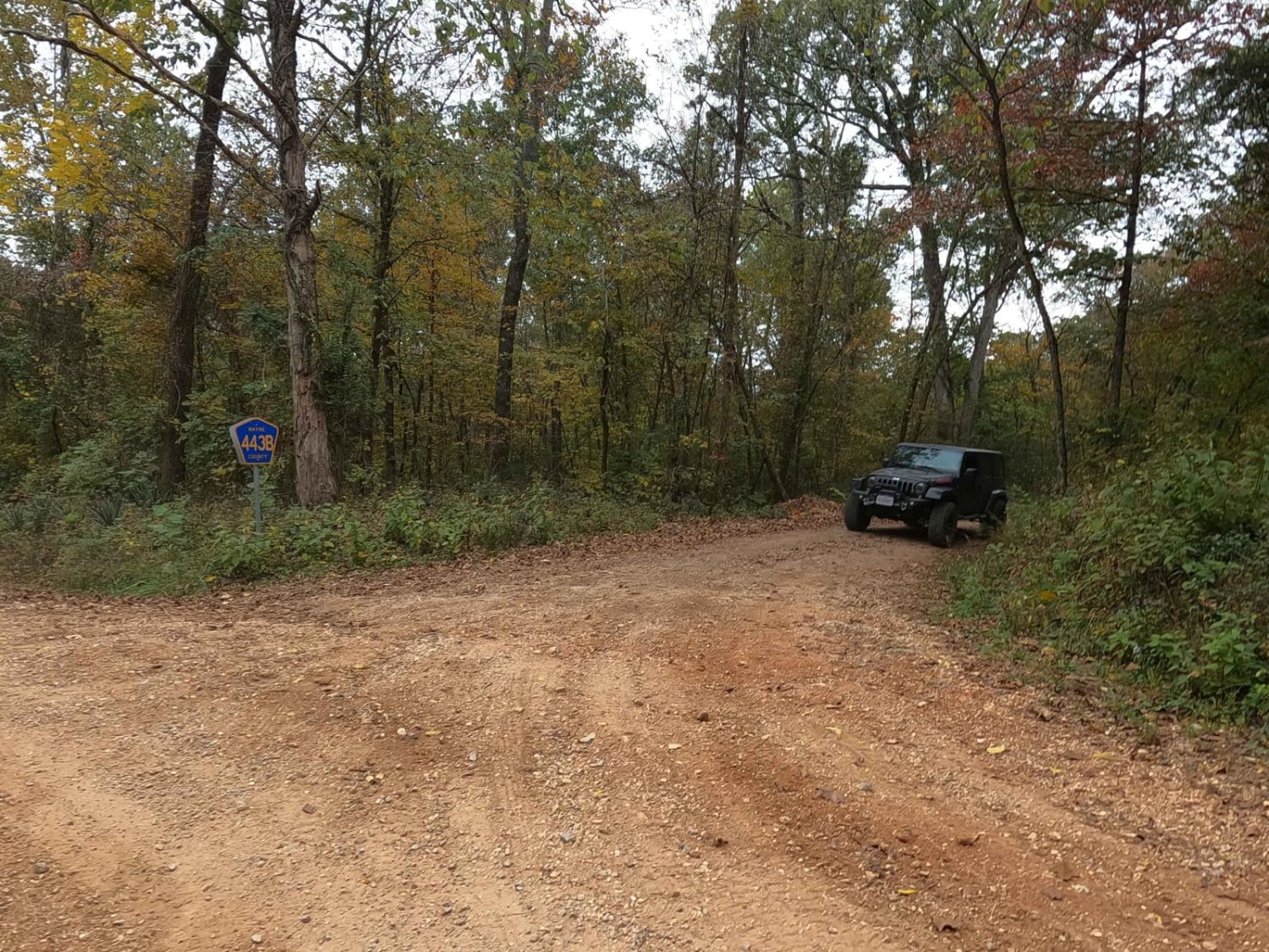
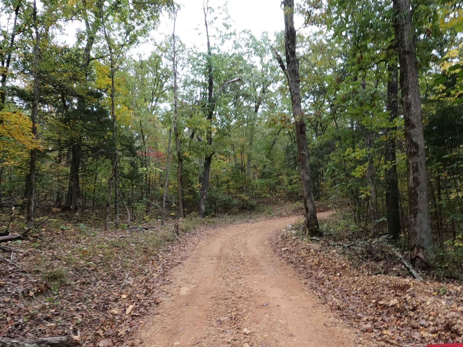
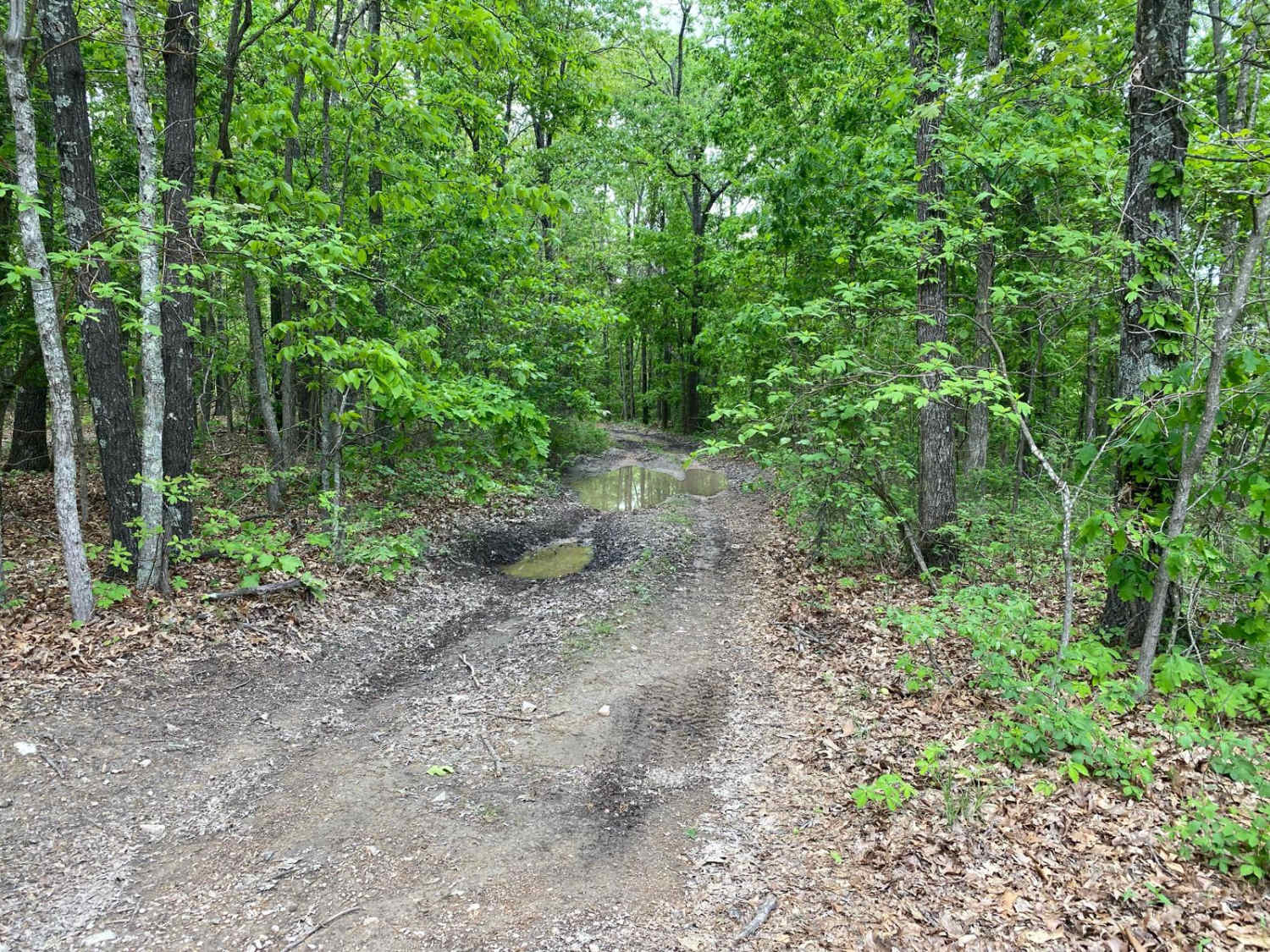
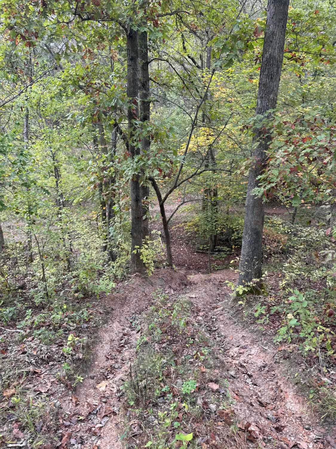
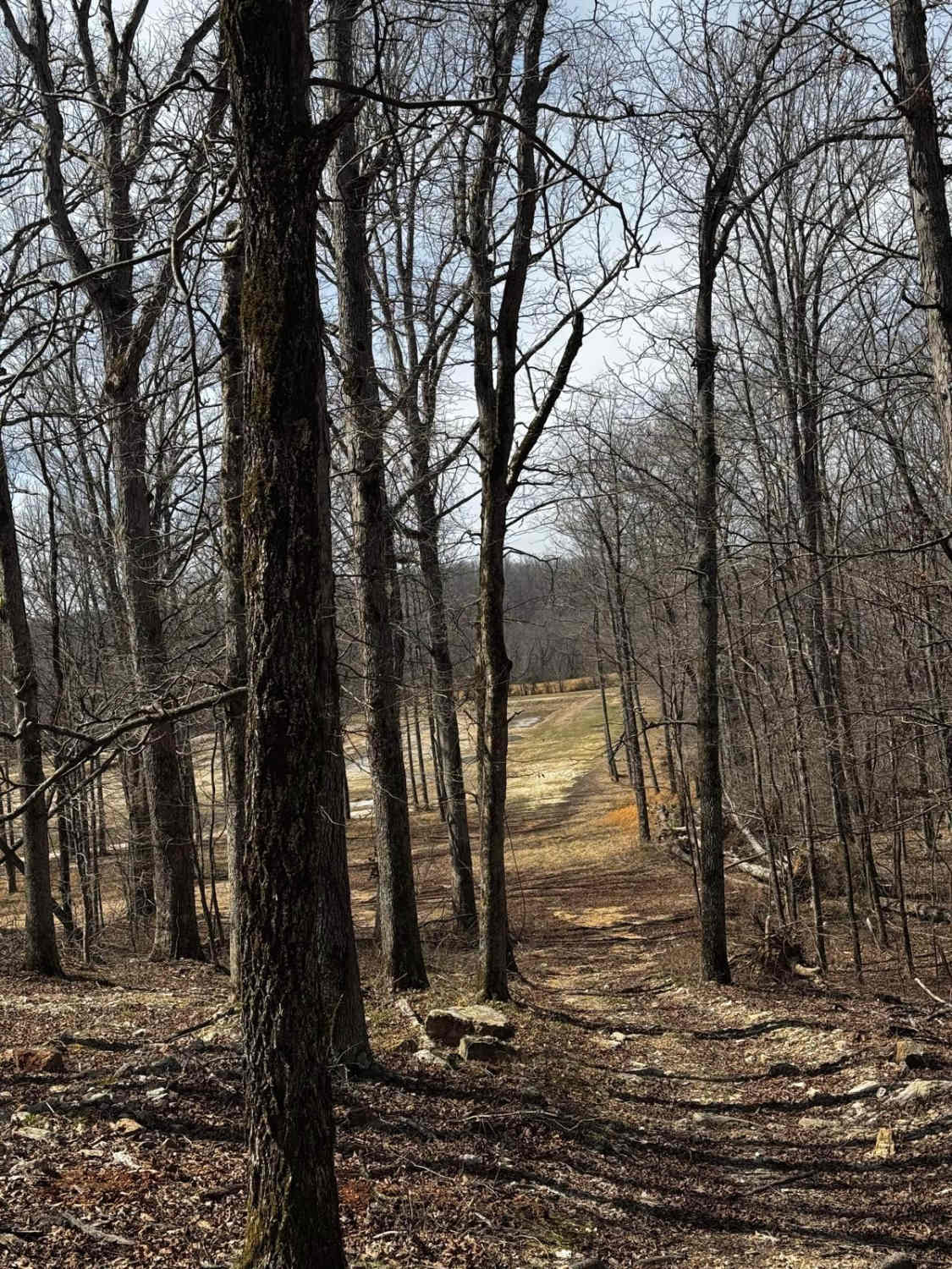
Trail Overview
Gulf FS 3821, or Wayne County Road 443B, is a natural attraction access, gravel-based, forestry road in the Poplar Bluff Unit of Mark Twain National Forrest. It is a well-maintained gravel road that is very simplistic and scenic, featuring a subtle grade down into the valley bottoms where a parking lot and wooden gated hiking area exist. The hiking area leads to a natural water pool within a sinkhole/cave called the Gulf. This title is given due to its emerald blue coast water color. The top of the water's surface is down in a hole roughly 50-75 feet below the surrounding land, and the void in which the water rests is nothing less than a cave. The water is lukewarm rather than cold like a spring-fed pool of water would be; it's one of Missouri's most unique and hidden gems. Be on the lookout, either out of fear or adventure, for the Missouri tarantula spiders found in this area. This spot makes for a great staging area, break time, or side mission for any day out exploring the Poplar Bluff Unit of Mark Twain National Forest. At the end of the road there is private property--please respect the area and promote future use/access of the Gulf.
Photos of Gulf - FS 3821
Difficulty
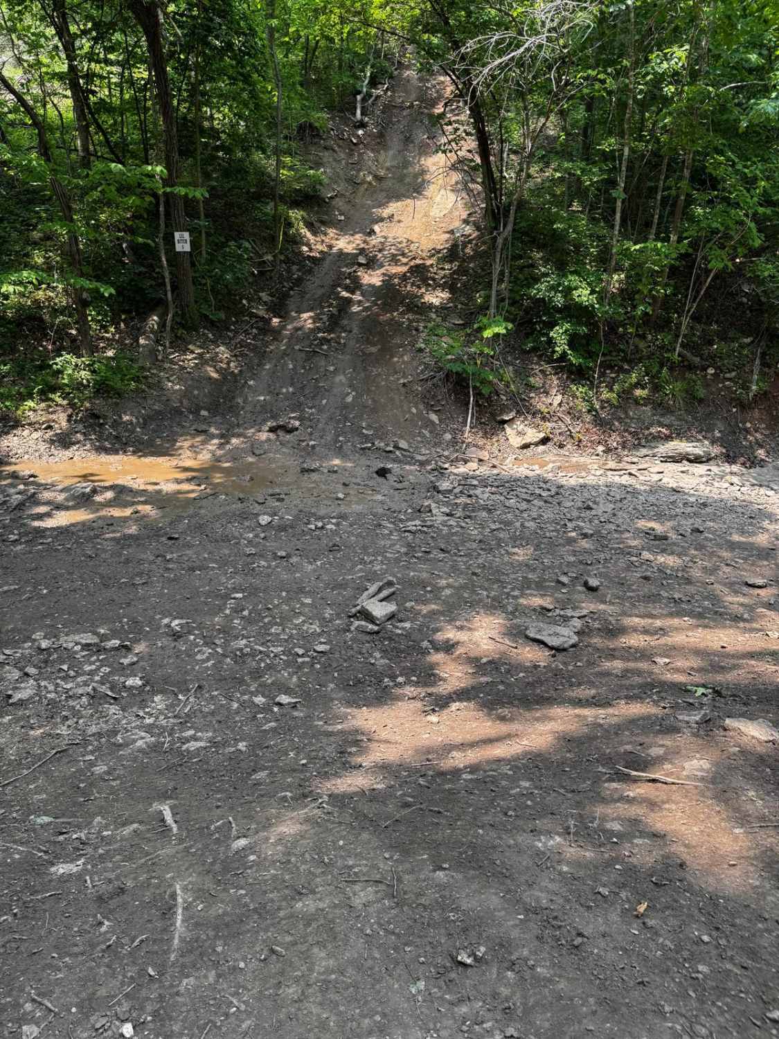
The Gulf is very simple and easy; the most this road will throw at a user is subtle water erosion forming and gravel washing away, creating soft dirt sections in between maintenance cycles. At minimum, you'll encounter the typical gravel road complications: potholes, mounding, and washboards. The trail is given a 1/10 for this simplicity.
History
The Gulf was acquired by Mark Twain National Forest in 1967. It's a sinkhole cave filled with water--under the surface level, it is roughly 140-220 feet in depth, with a length of 2,100 feet horizontally. The water level rises with the rainwater and gives its blue glow from the mix of sunlight and shear depth of the water. In 2005, a protective order was established prohibiting wading, swimming, and diving in the water. The study of where the water goes has come with minimal results, adding to the mystery of the Gulf.
Status Reports
Gulf - FS 3821 can be accessed by the following ride types:
- High-Clearance 4x4
- SUV
Gulf - FS 3821 Map
Popular Trails
Launcher
Backside Hill Climb Access
The onX Offroad Difference
onX Offroad combines trail photos, descriptions, difficulty ratings, width restrictions, seasonality, and more in a user-friendly interface. Available on all devices, with offline access and full compatibility with CarPlay and Android Auto. Discover what you’re missing today!