Hackworth Hollow Trail
Total Miles
1.6
Technical Rating
Best Time
Spring, Summer, Fall, Winter
Trail Type
Full-Width Road
Accessible By
Trail Overview
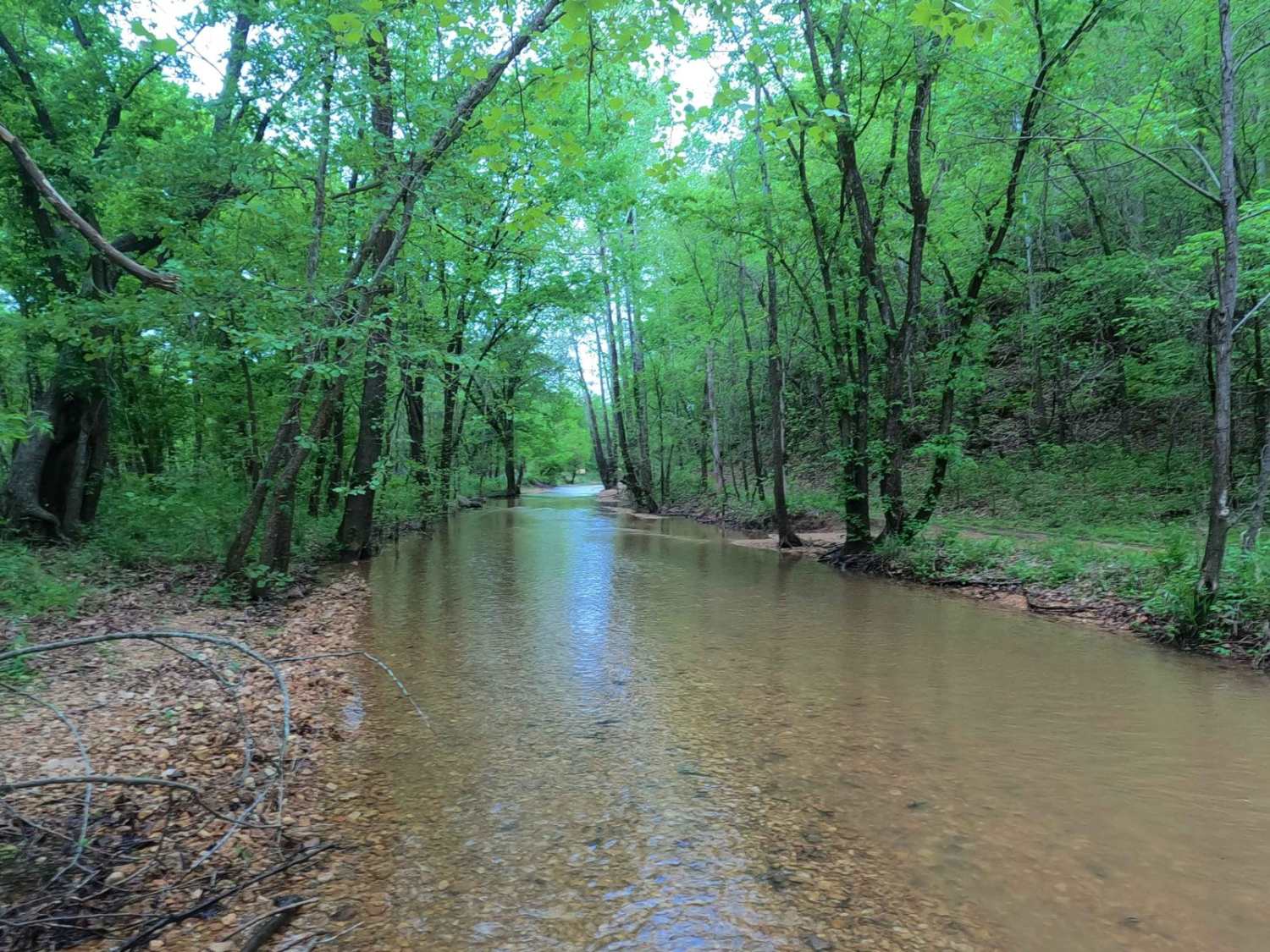
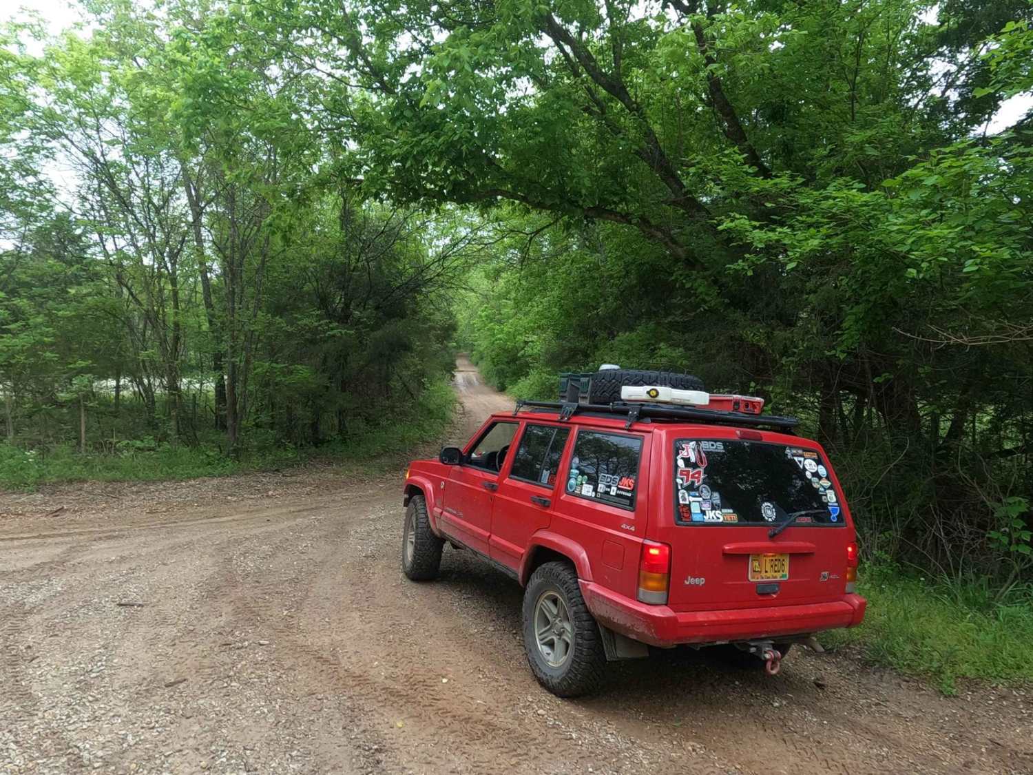
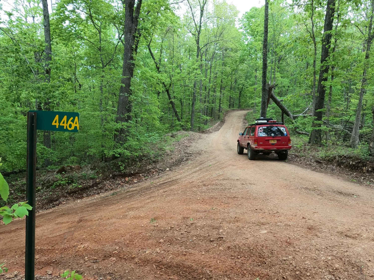
Hackworth Hollow Trail, also known locally as part of Funk Branch Road or Reynolds County Road 446A, is a coarse gravel road transforming to a creek bottom road and back to a coarse gravel road through the northern portion of the Black River Bottoms area within the Clearwater Lake U.S. Army Corps of Engineer Land. The northern endpoint of the trail is found at 37.30194, -90.76794 where the trail heads south, or connects with Funk Branch Road to the east and Mann Cemetery Road to the west. Shortly after the northern endpoint, the trail crosses its first branch creek crossing and begins transforming into the creek bottom road it fully becomes by the second crossing. In this creek bottom section, the road merges with several sections of the creek and uses the gravel bed as a driving surface, passing the Funk Branch Delta Trail entry at 37.29418, -90.76902 and eventually going through a shaded tree tunnel to the Old Funk Branch Creek Road at 37.29226, -90.76878. At this point, the creek bottom road section ends and starts to climb uphill from the valley bottoms, turning immediately into a rough standard Reynolds County Road, consisting of mixed dirt, red clay, and a natural coarse gravel base. Shortly after leaving the creek bottom road, an old concrete foundation of a structure can be seen trailside at 37.29191, -90.76725. One last feeder creek crossing is shortly after this at 37.29124, -90.76631. The trail only increases in grade uphill from here, climbing 250-270 feet in elevation in roughly a half mile before ending at the southern endpoint at 37.28381, -90.76018, connecting with Long Ridge Road going to the east and Stacked Log Trail/The Spool Ridge Trail going to the west. This historically preserved trail displays the unique circumstances and way of life surrounding a Missouri creek bottom road, worth seeing in both dry and wet seasons alike. Be mindful when the area is at flood stage, which is a 6-foot and higher water level on the Annapolis Black River level gauge. For reference, roughly one foot of water can be expected on the creek bottom section when the Annapolis water level gauge reads 5.75 feet.
Photos of Hackworth Hollow Trail
Difficulty
Hackworth Hollow Trail in average conditions is a simple trail, with the biggest obstacles being loose creek bottom gravel and the creek bottom water level on average ranging from a 3-inch trickle to no more than 12 inches, giving this a base rating of 3/10. There is the potential of this water being completely dried out in the deep heat of summer, yielding a 2/10 condition of the road, requiring only a few spots where 4WD may be needed in the loose creek bottom gravel or going up the steeply graded hill on the southern end. There is also the potential for flash flooding. For reference, roughly one foot of water can be expected on the creek bottom section when the Annapolis water level gauge reads 5.75 feet. Look up the Annapolis Black River water level gauge for reference; 6 feet and up on this gauge is in Flood Stage. Simply put, the difficulty does fluctuate significantly in wet seasons and heavy rain.
History
The history surrounding the bottoms is one of fighting for public access. This is an example where the presence and public use of Reynolds County Roads 464, 462, 460, 458, 456, 446A, and more have been the driving force keeping these trails open. Locals refuse to let their historic roads be taken away, yielding a place we all can enjoy and use. Please do your part in keeping this place alive; pack it in/pack it out, follow the green and red route markers as marked, and don't drive in the Black River or form new trails.
Hackworth Hollow Trail can be accessed by the following ride types:
- High-Clearance 4x4
- SUV
- SxS (60")
- ATV (50")
- Dirt Bike
Hackworth Hollow Trail Map
Popular Trails

Billys Branch - FS 2608
West Star Flatwoods - FS 1571
Long Ridge Road
The onX Offroad Difference
onX Offroad combines trail photos, descriptions, difficulty ratings, width restrictions, seasonality, and more in a user-friendly interface. Available on all devices, with offline access and full compatibility with CarPlay and Android Auto. Discover what you’re missing today!