Off-Road Trails in Missouri
Discover off-road trails in Missouri
Learn more about Heavens Stairs Middle Section
Heavens Stairs Middle Section
Total Miles
0.1
Tech Rating
Easy
Best Time
Spring, Summer, Fall, Winter
Learn more about Heavens Stairs R2
Heavens Stairs R2
Total Miles
0.1
Tech Rating
Difficult
Best Time
Spring, Summer, Fall, Winter

Learn more about Heinke Hills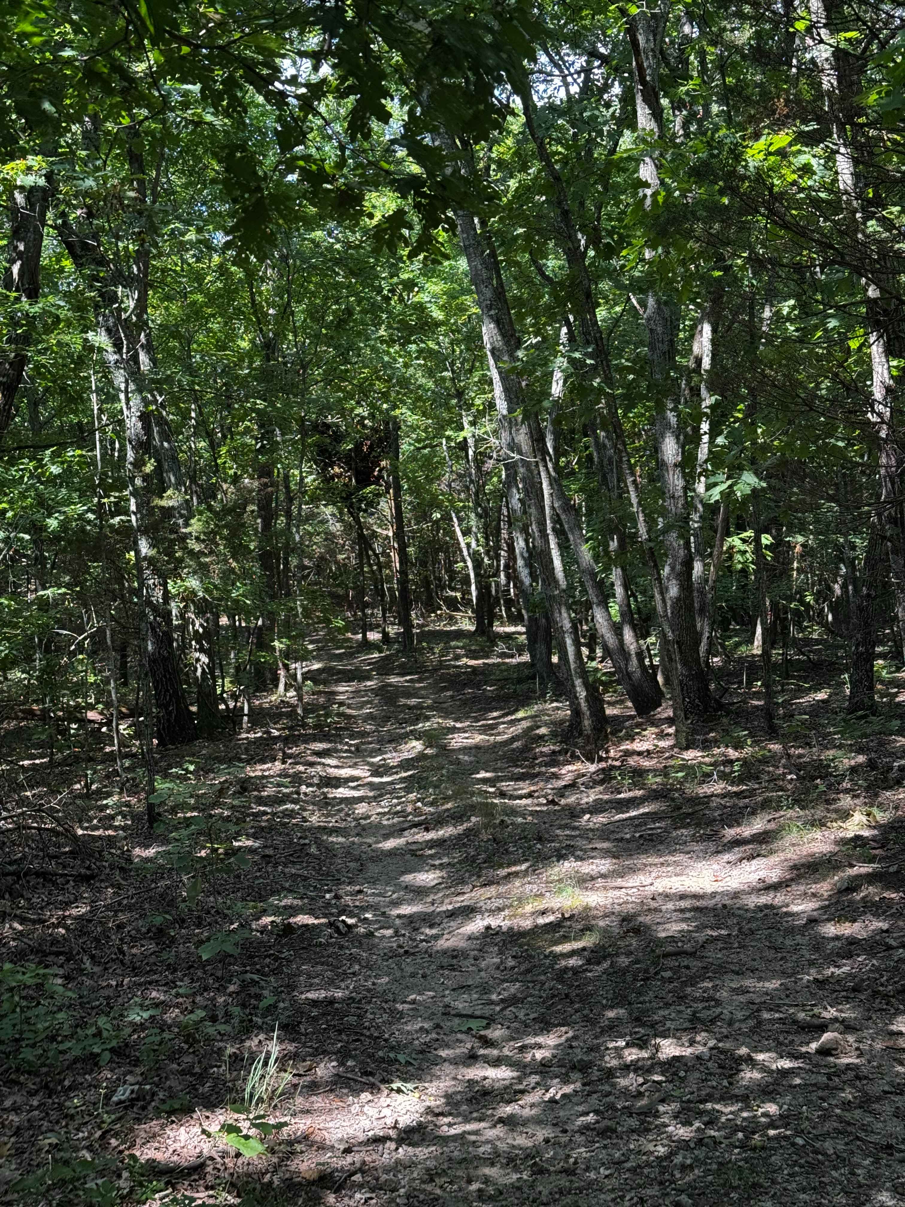
Heinke Hills
Total Miles
0.4
Tech Rating
Easy
Best Time
Spring, Summer, Fall, Winter
Learn more about Hercules Tower - FS 154
Hercules Tower - FS 154
Total Miles
0.3
Tech Rating
Easy
Best Time
Spring, Summer, Fall, Winter
Learn more about Hickory Grove Church - FS 2454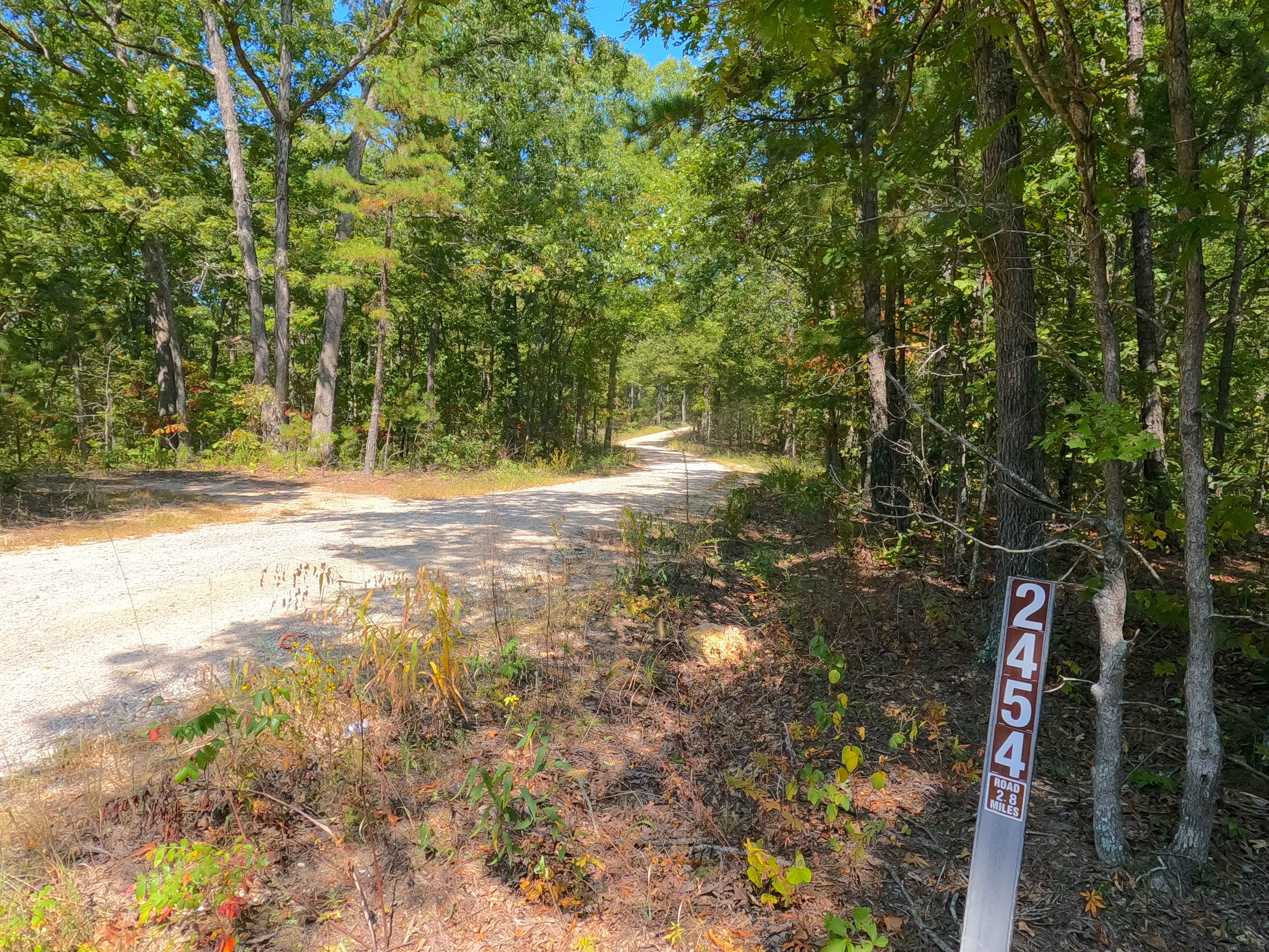
Hickory Grove Church - FS 2454
Total Miles
2.8
Tech Rating
Easy
Best Time
Spring, Summer, Fall, Winter
Learn more about Hidden Pond - FS 2607
Hidden Pond - FS 2607
Total Miles
0.9
Tech Rating
Easy
Best Time
Spring, Summer, Fall, Winter
Learn more about Hidden Pond Spur A - FS 2607A
Hidden Pond Spur A - FS 2607A
Total Miles
0.5
Tech Rating
Easy
Best Time
Spring, Summer, Fall, Winter
Learn more about High Horse
High Horse
Total Miles
0.2
Tech Rating
Moderate
Best Time
Spring, Summer, Fall, Winter
Learn more about High Mountain Road
High Mountain Road
Total Miles
0.6
Tech Rating
Moderate
Best Time
Spring, Summer, Fall
Learn more about High Ridge - FS 3750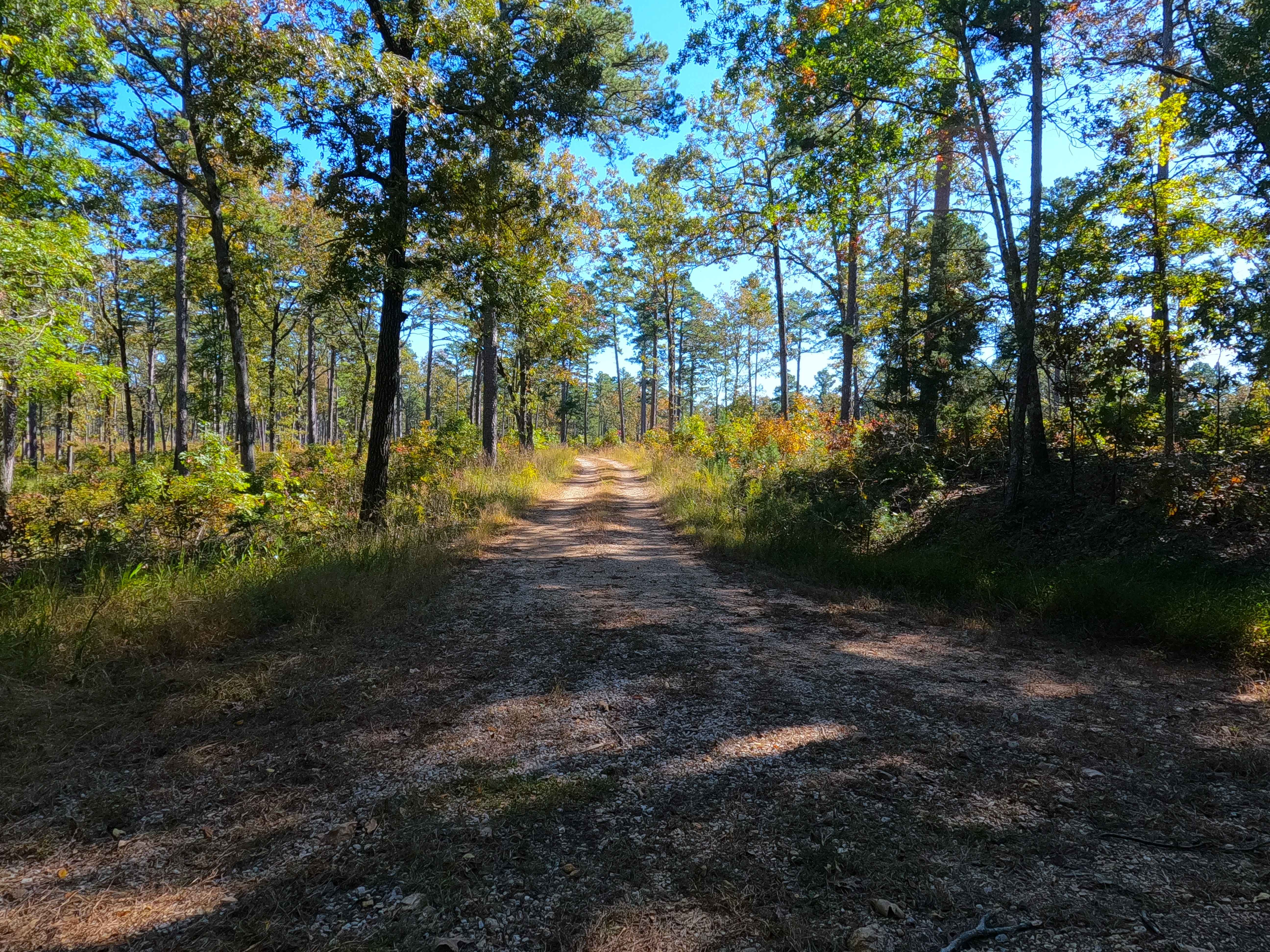
High Ridge - FS 3750
Total Miles
3.5
Tech Rating
Easy
Best Time
Summer, Fall, Winter
Learn more about Highline FSR 2472
Highline FSR 2472
Total Miles
1.3
Tech Rating
Easy
Best Time
Spring, Summer, Fall, Winter
Learn more about Hill Killer Road
Hill Killer Road
Total Miles
0.0
Tech Rating
Easy
Best Time
Spring, Summer, Fall, Winter
Learn more about Hilllside Backtrack
Hilllside Backtrack
Total Miles
0.7
Tech Rating
Easy
Best Time
Spring, Summer, Fall, Winter
Learn more about Hillside 69
Hillside 69
Total Miles
0.2
Tech Rating
Easy
Best Time
Spring, Summer, Fall, Winter
Learn more about Hillside 69.5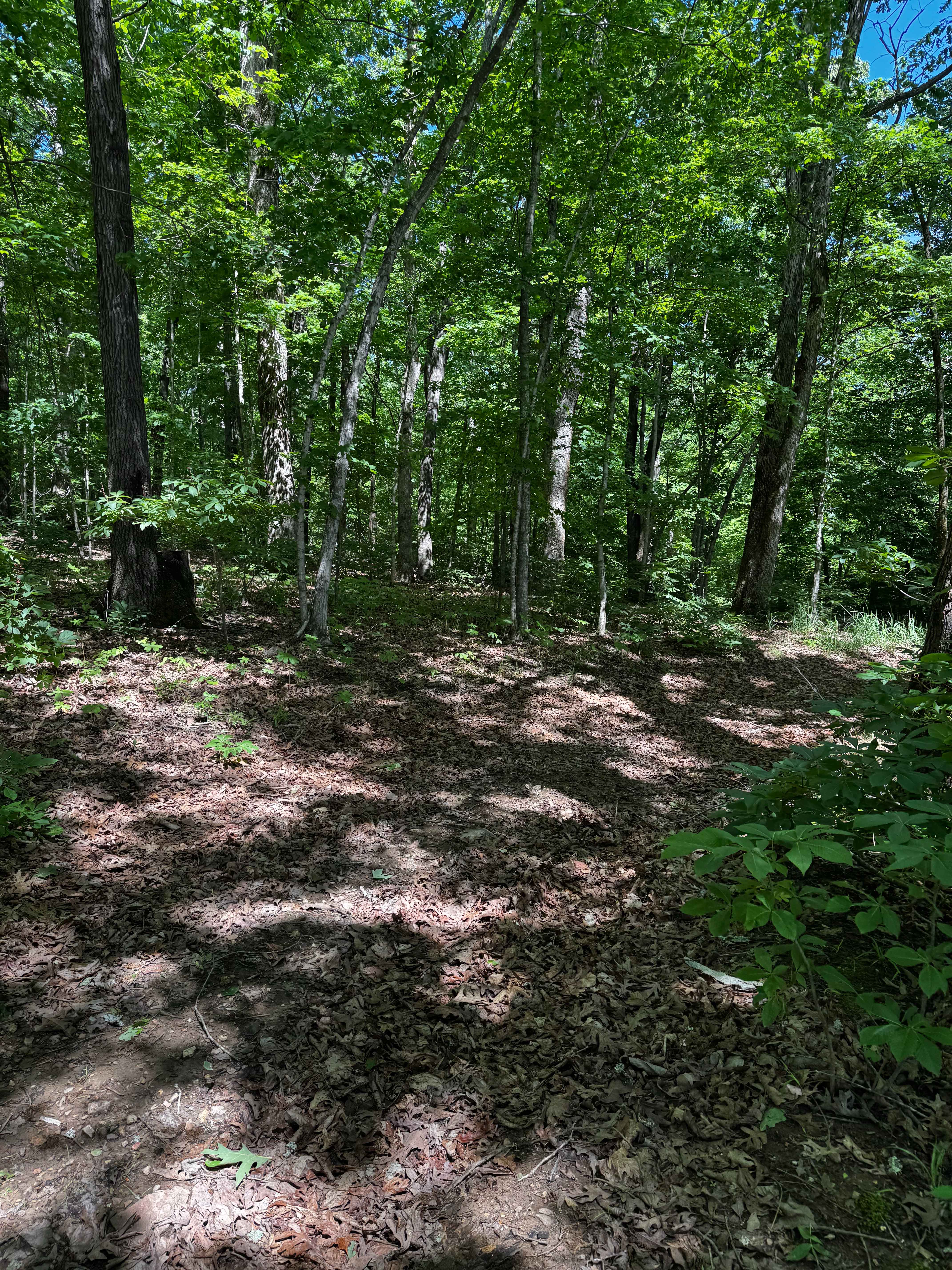
Hillside 69.5
Total Miles
0.0
Tech Rating
Easy
Best Time
Spring, Summer, Fall, Winter
Learn more about Hillside 70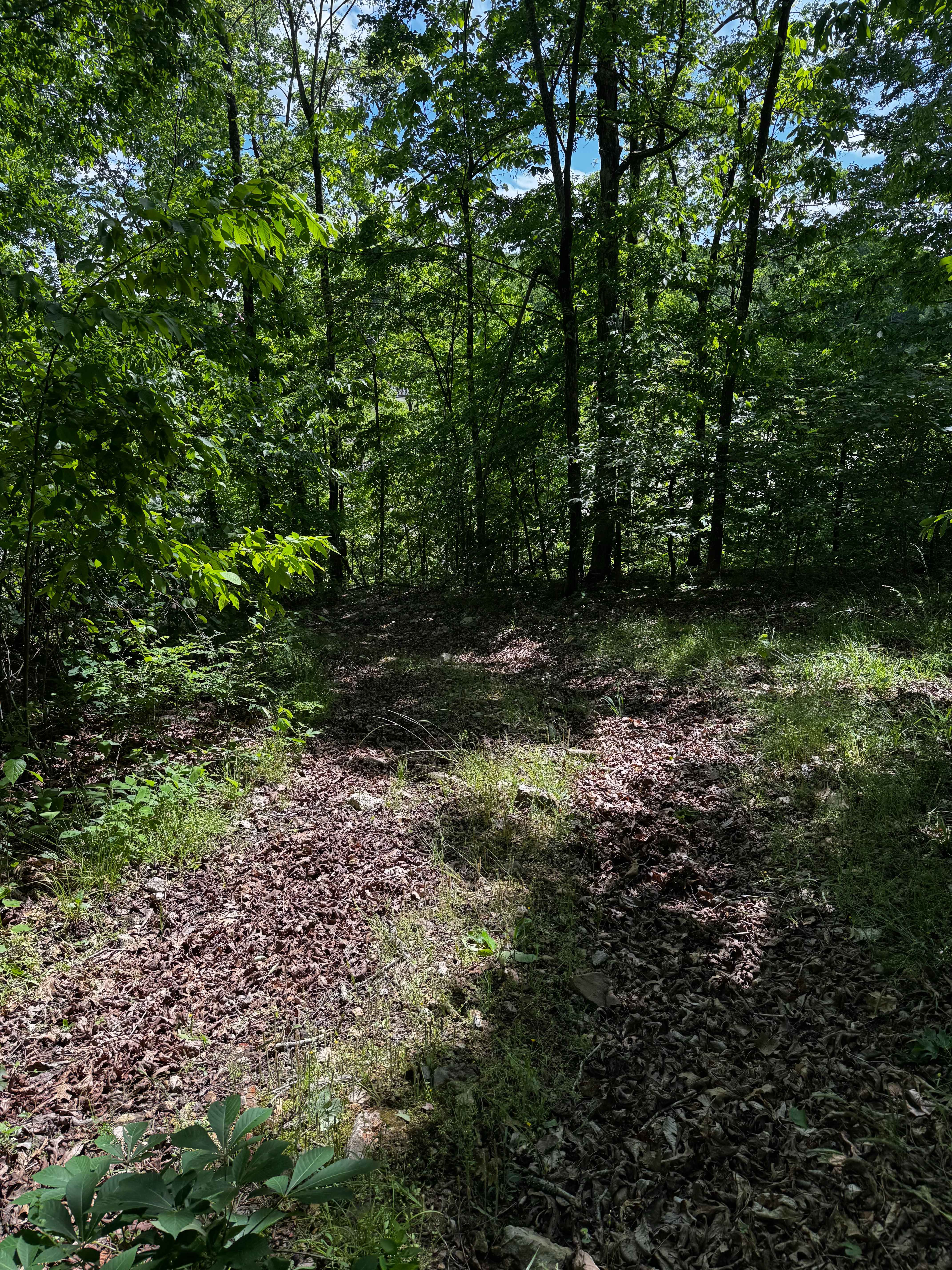
Hillside 70
Total Miles
0.1
Tech Rating
Easy
Best Time
Winter, Fall, Summer, Spring
Learn more about Hillside 70.5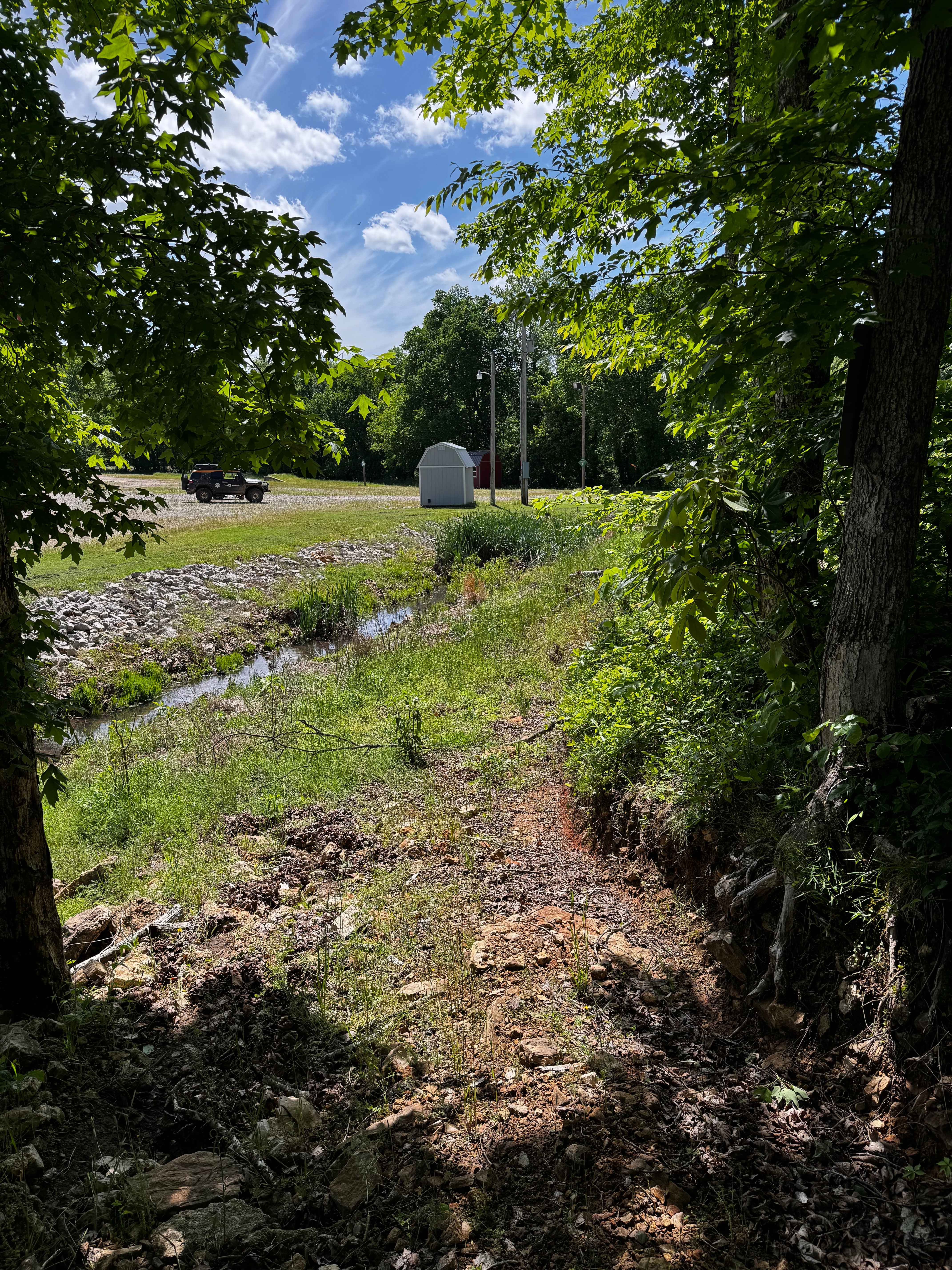
Hillside 70.5
Total Miles
0.1
Tech Rating
Easy
Best Time
Spring, Summer, Fall, Winter
Learn more about Hillside Adventure
Hillside Adventure
Total Miles
0.2
Tech Rating
Easy
Best Time
Spring, Fall, Winter, Summer
Learn more about Hillside Back Side to Gate
Hillside Back Side to Gate
Total Miles
0.3
Tech Rating
Easy
Best Time
Spring, Summer, Fall, Winter
ATV trails in Missouri


Learn more about 4 of 5
4 of 5
Total Miles
0.0
Tech Rating
Difficult
Best Time
Spring, Summer, Fall, Winter
UTV/side-by-side trails in Missouri
Learn more about 4 of 5
4 of 5
Total Miles
0.0
Tech Rating
Difficult
Best Time
Spring, Summer, Fall, Winter
The onX Offroad Difference
onX Offroad combines trail photos, descriptions, difficulty ratings, width restrictions, seasonality, and more in a user-friendly interface. Available on all devices, with offline access and full compatibility with CarPlay and Android Auto. Discover what you’re missing today!