Off-Road Trails in Missouri
Discover off-road trails in Missouri
Learn more about Loggers Trail / Heavens Stairs Connection
Loggers Trail / Heavens Stairs Connection
Total Miles
0.2
Tech Rating
Easy
Best Time
Spring, Summer, Winter, Fall
Learn more about Logging Trail #1
Logging Trail #1
Total Miles
0.3
Tech Rating
Easy
Best Time
Winter, Spring, Summer, Fall
Learn more about Logging Trail #2
Logging Trail #2
Total Miles
0.5
Tech Rating
Easy
Best Time
Spring, Summer, Fall, Winter
Learn more about Logging Trail #3
Logging Trail #3
Total Miles
0.3
Tech Rating
Easy
Best Time
Spring, Summer, Fall, Winter
Learn more about Lone Star School Road (FS 3824)
Lone Star School Road (FS 3824)
Total Miles
3.2
Tech Rating
Easy
Best Time
Spring, Summer, Fall, Winter
Learn more about Long Ridge Road
Long Ridge Road
Total Miles
2.8
Tech Rating
Easy
Best Time
Spring, Summer, Fall, Winter
Learn more about Lookout Road
Lookout Road
Total Miles
3.5
Tech Rating
Moderate
Best Time
Spring, Summer, Fall, Winter
Learn more about Loop Express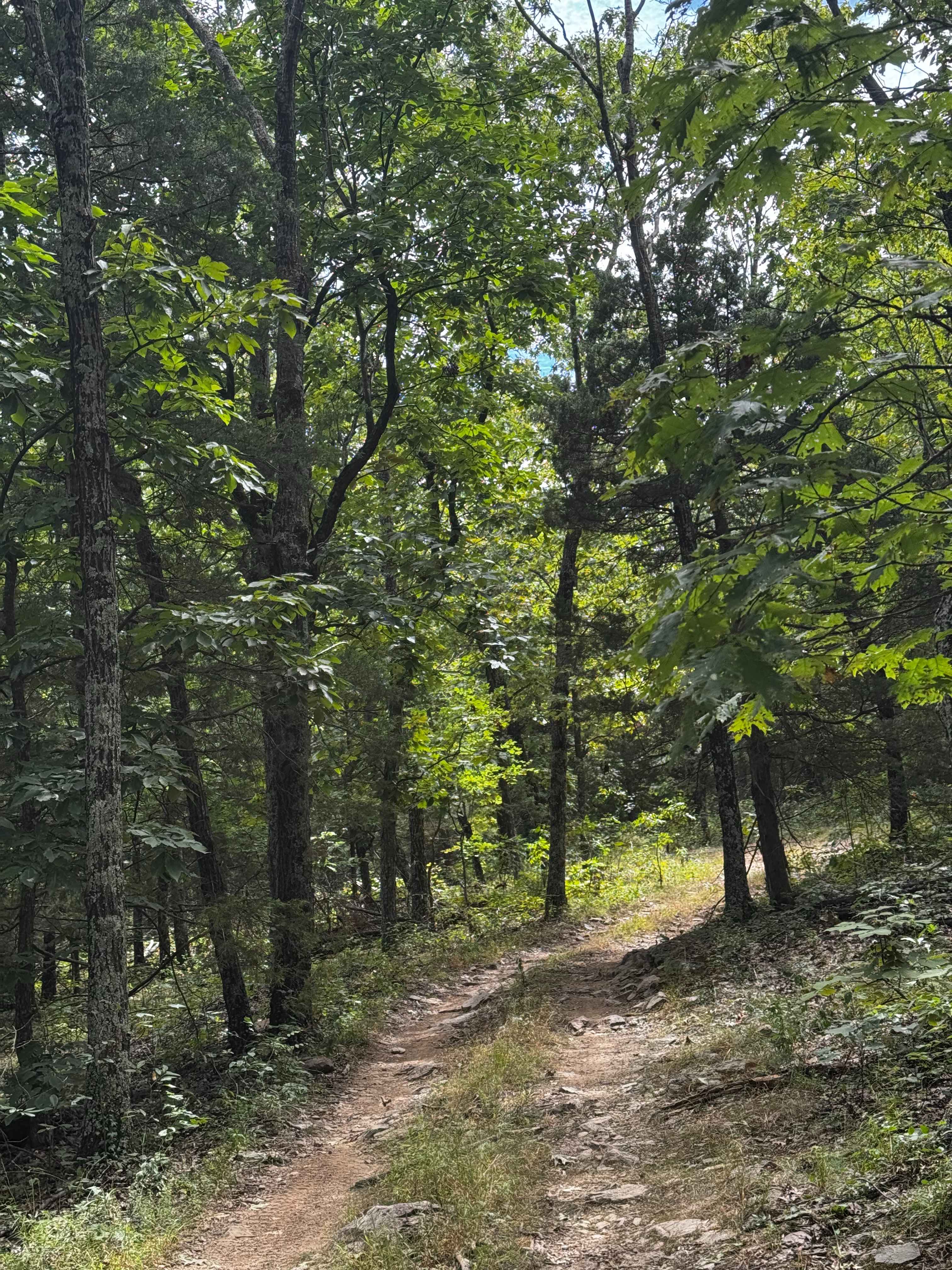
Loop Express
Total Miles
0.5
Tech Rating
Moderate
Best Time
Spring, Summer, Fall, Winter
Learn more about Loose in the Saddle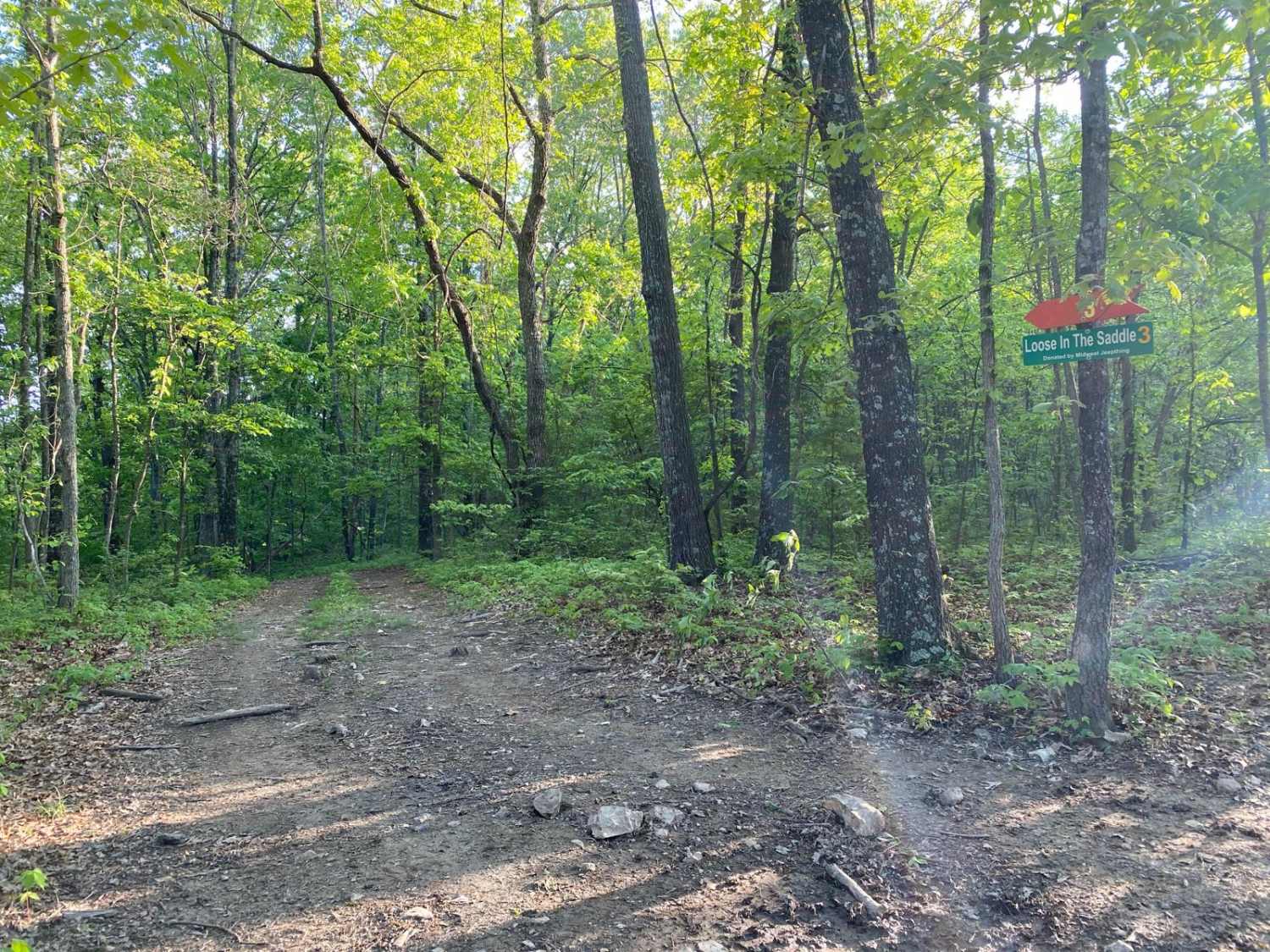
Loose in the Saddle
Total Miles
0.2
Tech Rating
Moderate
Best Time
Spring, Summer, Fall
Learn more about Lost Bridge Trail 43
Lost Bridge Trail 43
Total Miles
0.1
Tech Rating
Easy
Best Time
Spring, Summer, Fall, Winter
Learn more about Lost Creek Road
Lost Creek Road
Total Miles
8.0
Tech Rating
Easy
Best Time
Fall, Spring, Summer
Learn more about Lost Meridian - FS 2420
Lost Meridian - FS 2420
Total Miles
0.5
Tech Rating
Easy
Best Time
Spring, Summer, Fall, Winter
Learn more about Loto outer loop 
Loto outer loop
Total Miles
3.6
Tech Rating
Moderate
Best Time
Spring, Summer, Fall
Learn more about LOTO Racetrack
LOTO Racetrack
Total Miles
0.2
Tech Rating
Easy
Best Time
Spring, Summer, Fall, Winter
Learn more about Love Hurts 
Love Hurts
Total Miles
0.1
Tech Rating
Easy
Best Time
Spring, Summer, Fall, Winter
Learn more about Lovejoy Creek Road
Lovejoy Creek Road
Total Miles
3.2
Tech Rating
Easy
Best Time
Spring, Fall, Summer
Learn more about Lower Field Trail
Lower Field Trail
Total Miles
1.5
Tech Rating
Easy
Best Time
Spring, Summer, Fall, Winter
Learn more about Mad-Co Road 406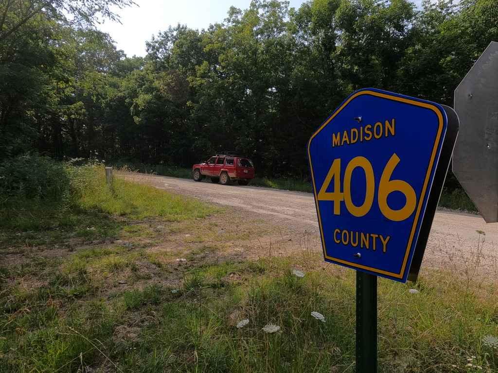
Mad-Co Road 406
Total Miles
3.5
Tech Rating
Easy
Best Time
Spring, Summer, Fall, Winter
ATV trails in Missouri


Learn more about 4 of 5
4 of 5
Total Miles
0.0
Tech Rating
Difficult
Best Time
Spring, Summer, Fall, Winter
UTV/side-by-side trails in Missouri
Learn more about 4 of 5
4 of 5
Total Miles
0.0
Tech Rating
Difficult
Best Time
Spring, Summer, Fall, Winter
The onX Offroad Difference
onX Offroad combines trail photos, descriptions, difficulty ratings, width restrictions, seasonality, and more in a user-friendly interface. Available on all devices, with offline access and full compatibility with CarPlay and Android Auto. Discover what you’re missing today!