Off-Road Trails in Missouri
Discover off-road trails in Missouri
Learn more about Overflow Parking 34
Overflow Parking 34
Total Miles
0.1
Tech Rating
Easy
Best Time
Spring, Summer, Fall, Winter
Learn more about Overgrowth Spur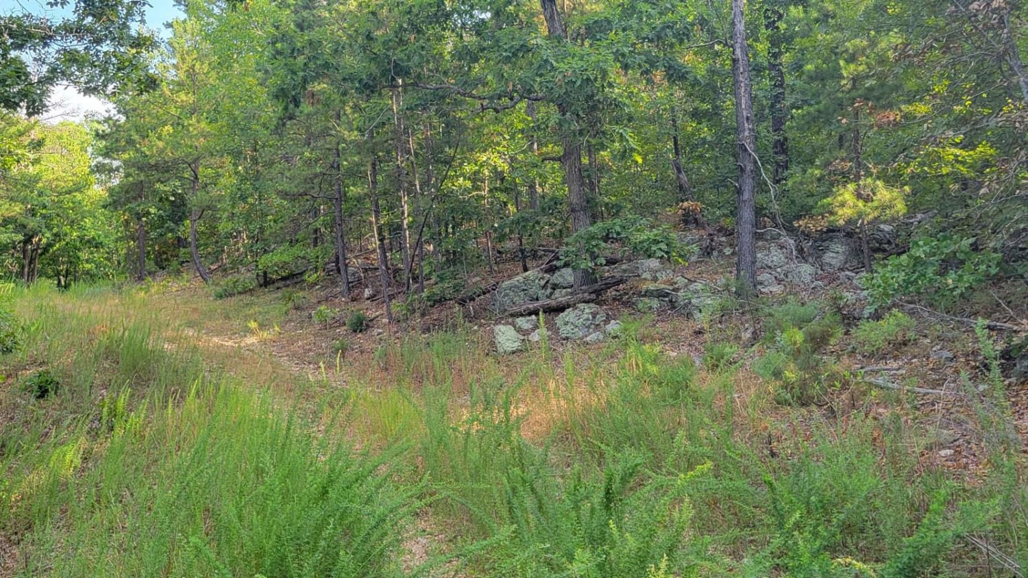
Overgrowth Spur
Total Miles
1.0
Tech Rating
Easy
Best Time
Spring, Summer, Fall, Winter
Learn more about Overland Oasis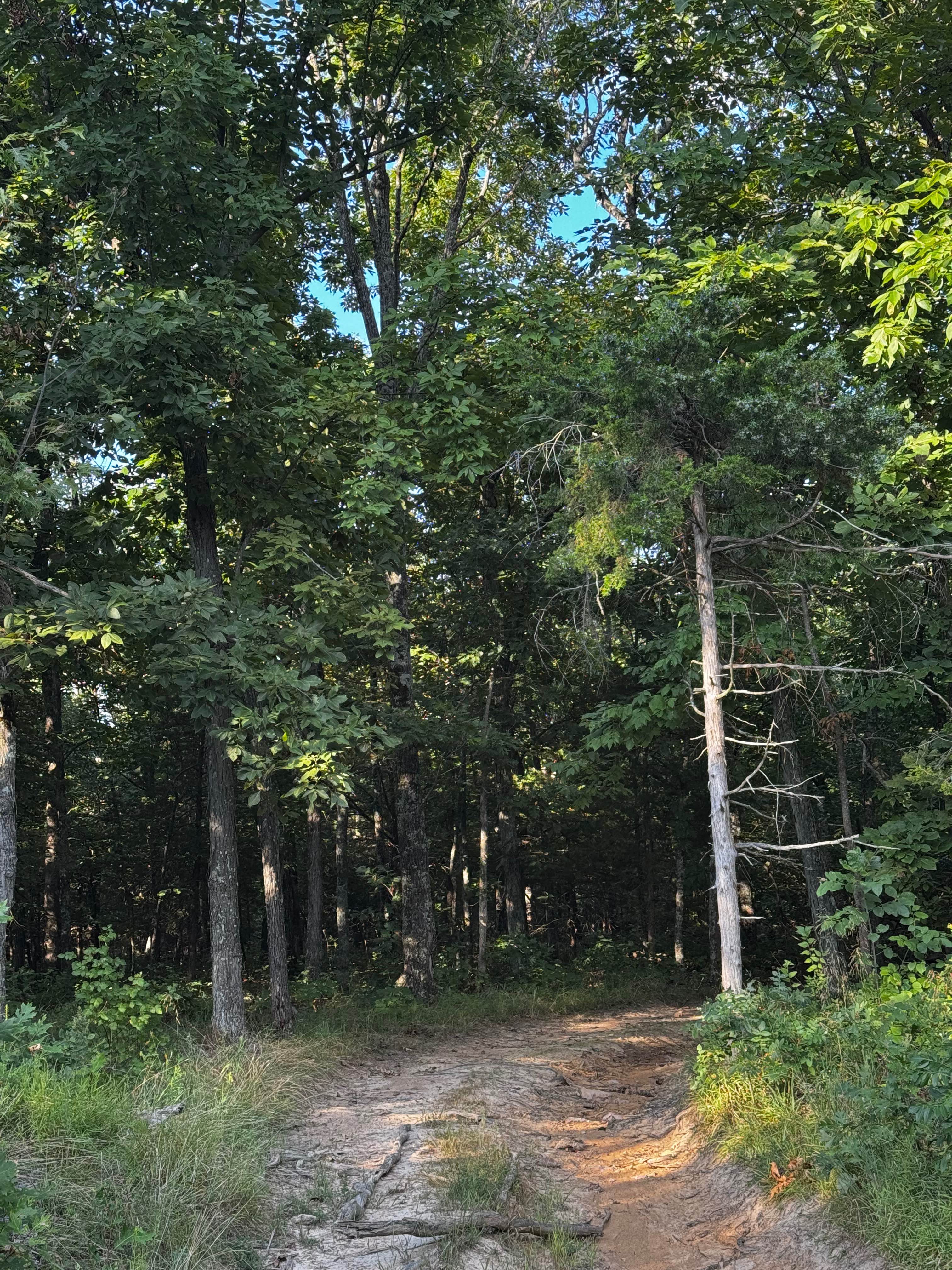
Overland Oasis
Total Miles
0.5
Tech Rating
Moderate
Best Time
Spring, Summer, Fall, Winter
Learn more about Overlook - FS 122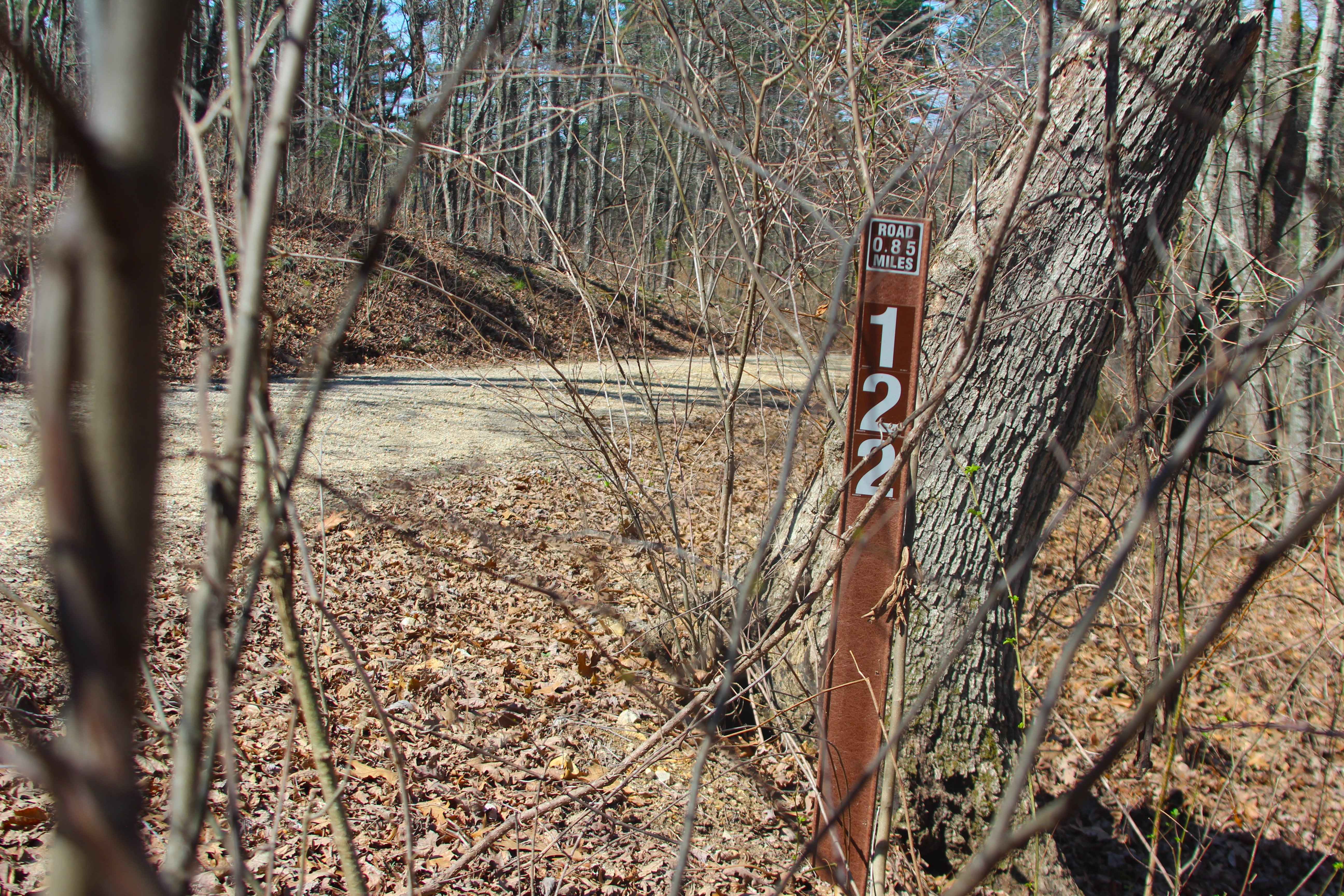
Overlook - FS 122
Total Miles
1.7
Tech Rating
Easy
Best Time
Spring, Summer, Fall, Winter
Learn more about Owen Wowson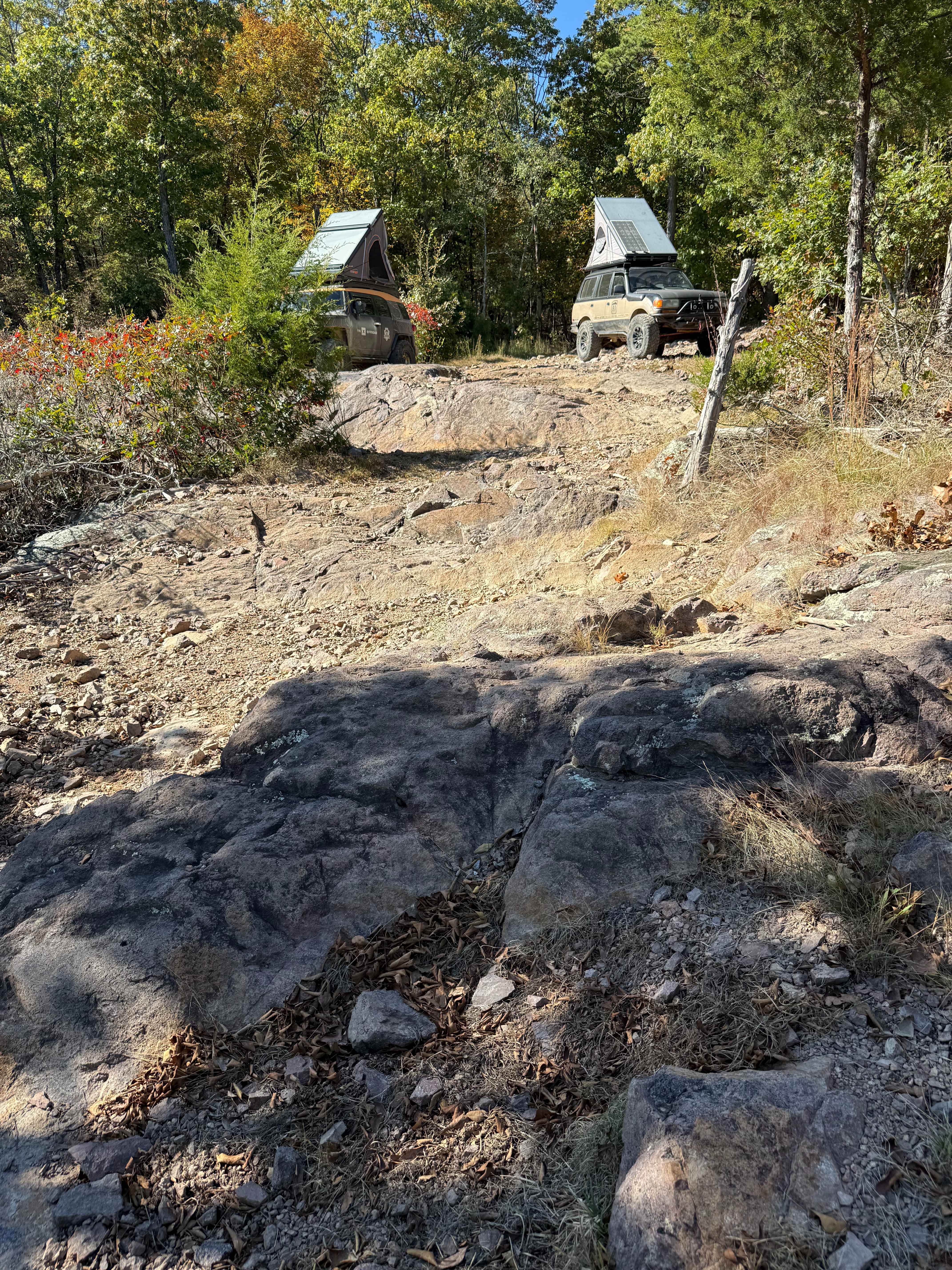
Owen Wowson
Total Miles
0.1
Tech Rating
Difficult
Best Time
Spring, Summer, Fall, Winter
Learn more about Oyster Bar Bend
Oyster Bar Bend
Total Miles
0.6
Tech Rating
Moderate
Best Time
Spring, Summer, Fall, Winter
Learn more about Ozark to Nettle
Ozark to Nettle
Total Miles
2.5
Tech Rating
Easy
Best Time
Spring, Summer, Fall, Winter
Learn more about Palm Dirt Road
Palm Dirt Road
Total Miles
1.8
Tech Rating
Easy
Best Time
Winter, Fall, Summer, Spring
Learn more about Palmer Mine - FSR 2382
Palmer Mine - FSR 2382
Total Miles
1.8
Tech Rating
Moderate
Best Time
Spring, Summer, Fall, Winter
Learn more about Palmer North - FSR 2695
Palmer North - FSR 2695
Total Miles
2.5
Tech Rating
Easy
Best Time
Spring, Summer, Fall, Winter
Learn more about Palmer Road - WCR 643
Palmer Road - WCR 643
Total Miles
3.4
Tech Rating
Easy
Best Time
Spring, Summer, Fall, Winter
Learn more about Parkstone Drive
Parkstone Drive
Total Miles
10.3
Tech Rating
Easy
Best Time
Spring, Summer, Fall, Winter
Learn more about Pasture Parkway
Pasture Parkway
Total Miles
0.2
Tech Rating
Easy
Best Time
Spring, Summer, Fall
Learn more about Paw Paw Path
Paw Paw Path
Total Miles
0.6
Tech Rating
Easy
Best Time
Spring, Summer, Fall, Winter
Learn more about Peas Hollow - FS 421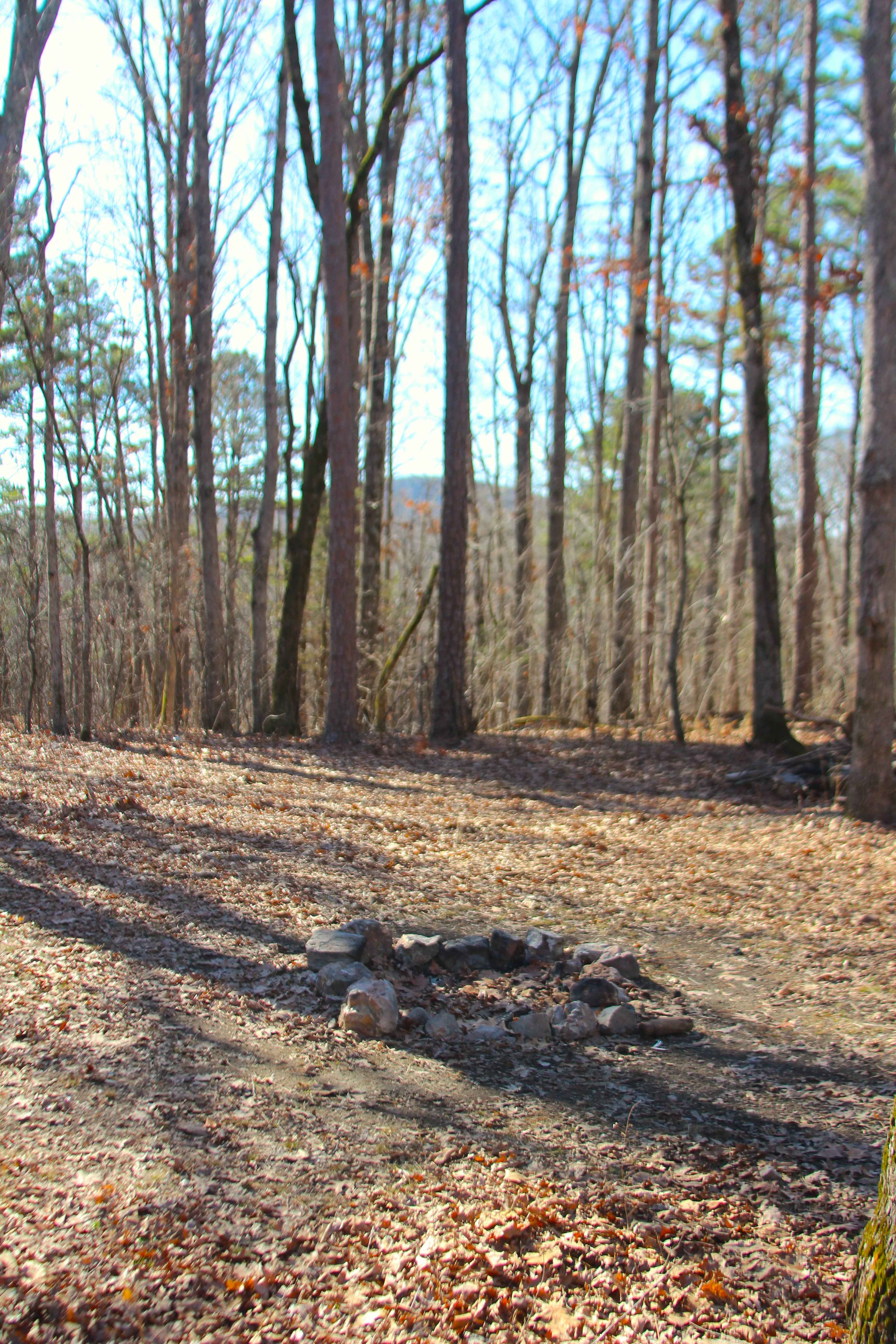
Peas Hollow - FS 421
Total Miles
3.8
Tech Rating
Easy
Best Time
Spring, Summer, Fall, Winter
Learn more about PeeWee Crossing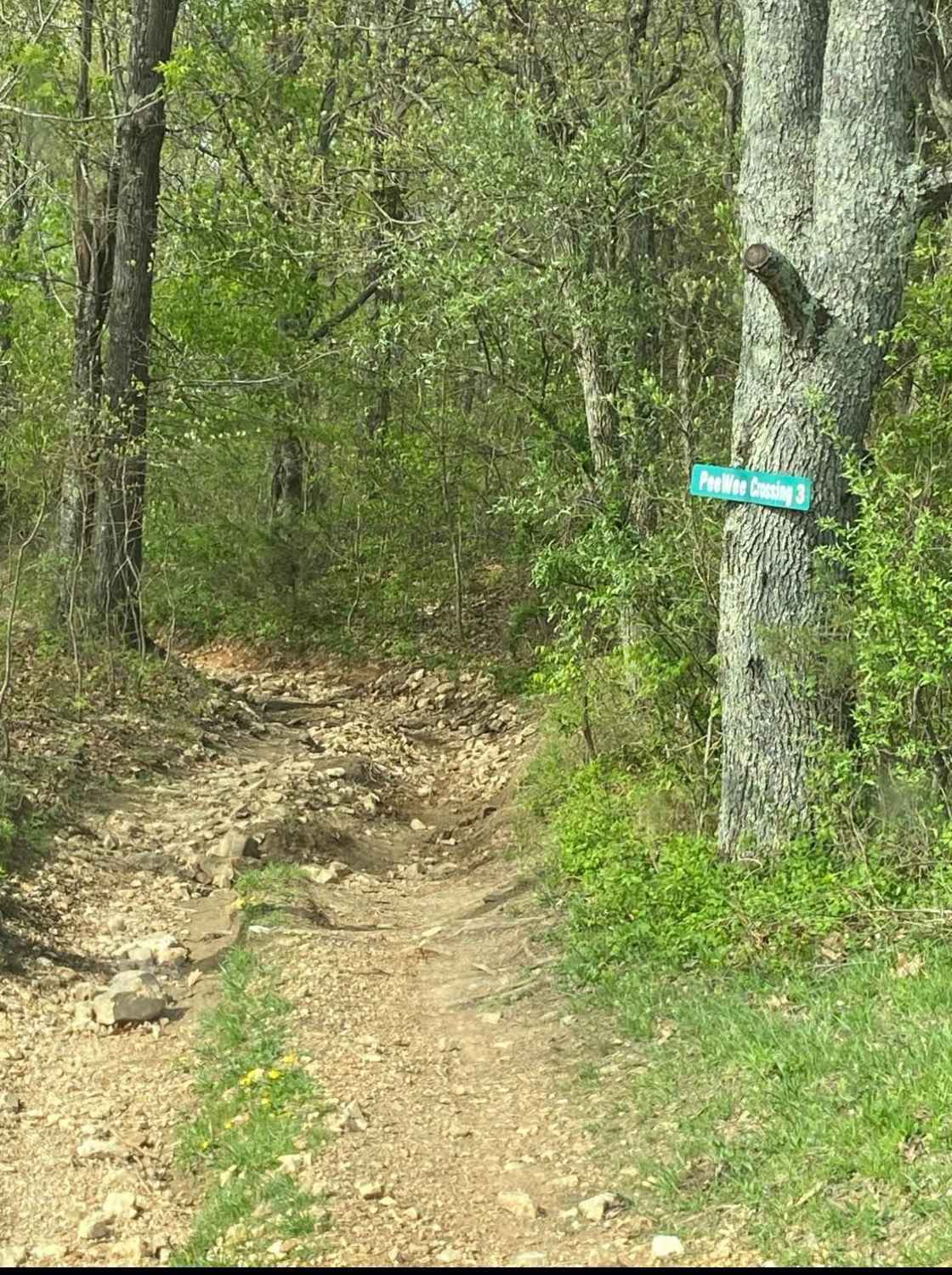
PeeWee Crossing
Total Miles
1.4
Tech Rating
Moderate
Best Time
Spring, Summer, Fall
Learn more about Perimeter Trail
Perimeter Trail
Total Miles
0.2
Tech Rating
Easy
Best Time
Spring, Summer, Fall, Winter
ATV trails in Missouri


Learn more about 4 of 5
4 of 5
Total Miles
0.0
Tech Rating
Difficult
Best Time
Spring, Summer, Fall, Winter
UTV/side-by-side trails in Missouri
Learn more about 4 of 5
4 of 5
Total Miles
0.0
Tech Rating
Difficult
Best Time
Spring, Summer, Fall, Winter
The onX Offroad Difference
onX Offroad combines trail photos, descriptions, difficulty ratings, width restrictions, seasonality, and more in a user-friendly interface. Available on all devices, with offline access and full compatibility with CarPlay and Android Auto. Discover what you’re missing today!