Off-Road Trails in Missouri
Discover off-road trails in Missouri
Learn more about Old Baptist Church Bo-Co Road 920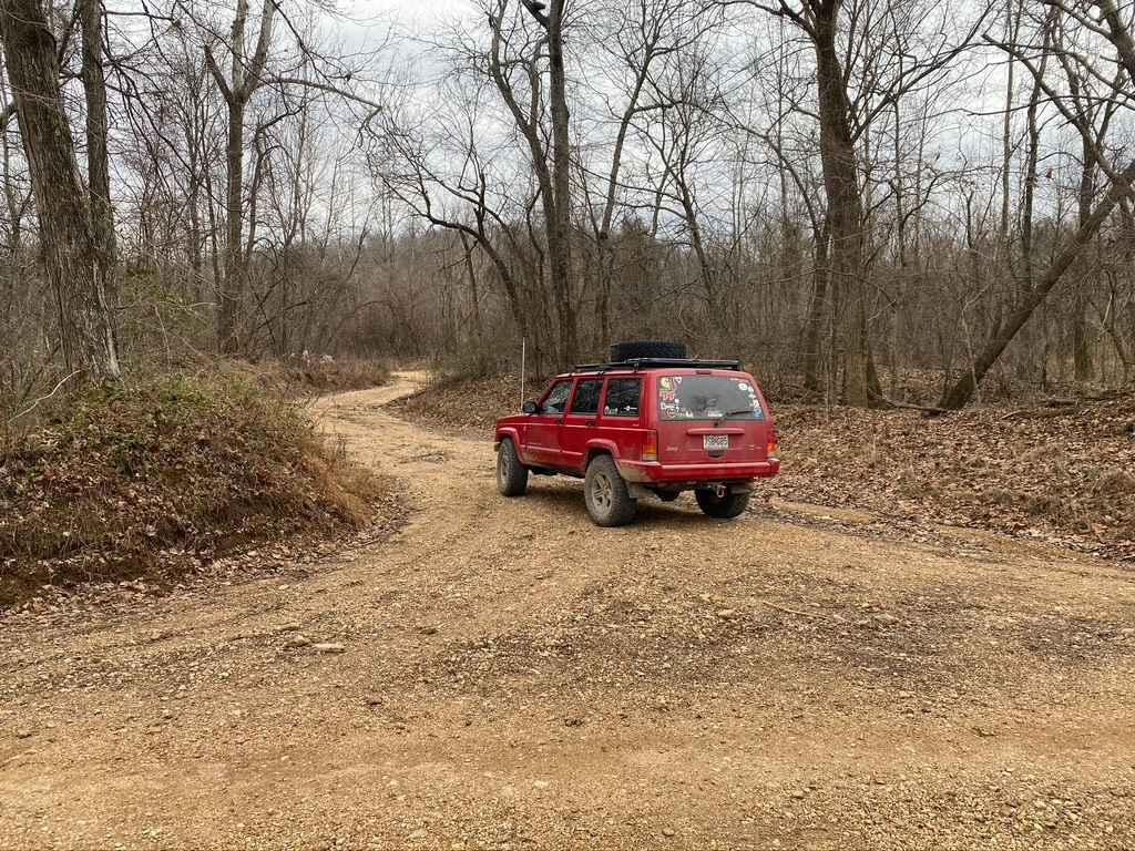
Old Baptist Church Bo-Co Road 920
Total Miles
1.9
Tech Rating
Moderate
Best Time
Spring, Summer, Fall
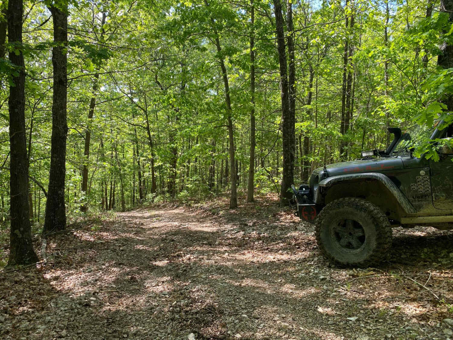
Learn more about Old Mill - FS 2381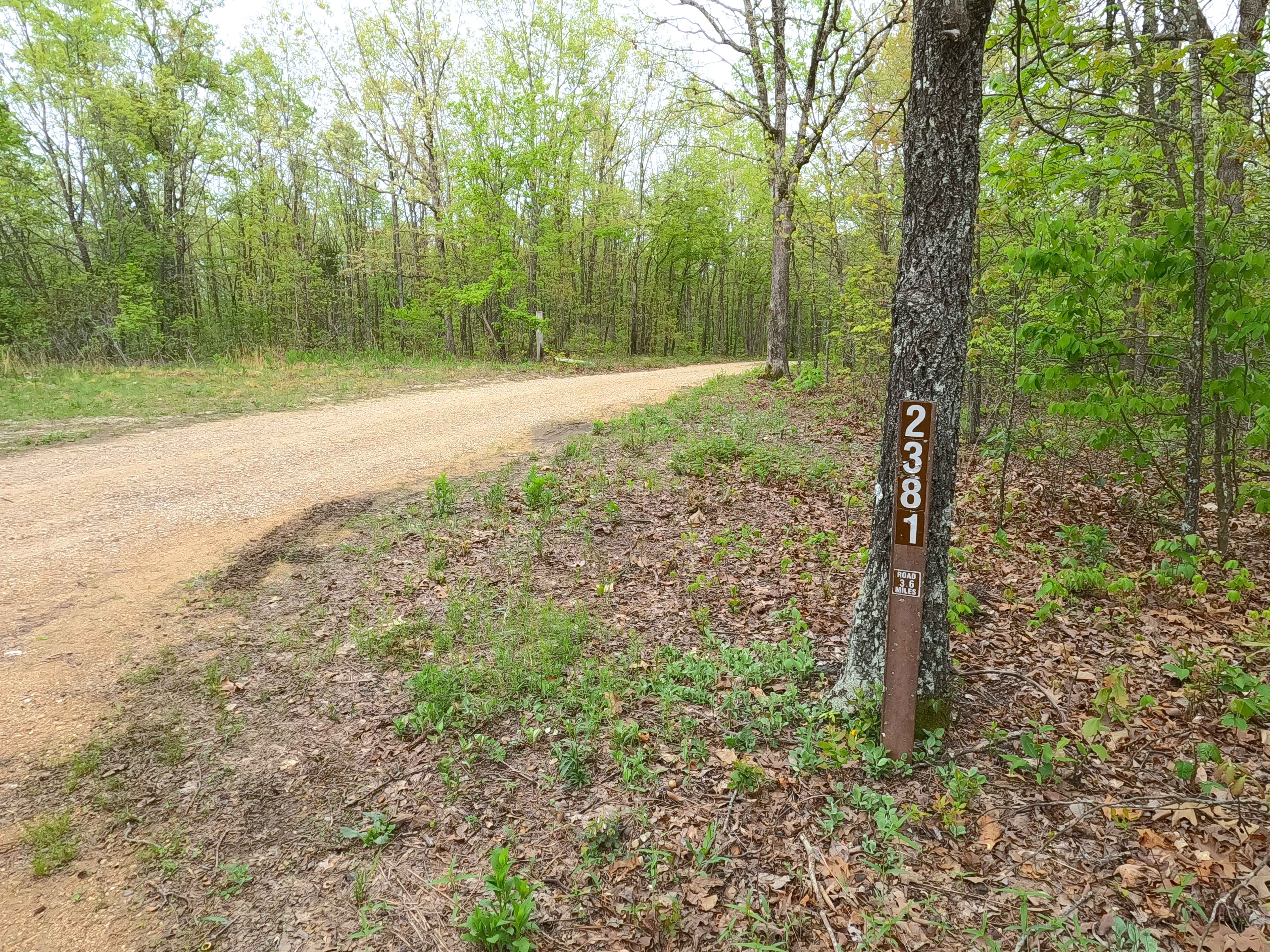
Old Mill - FS 2381
Total Miles
3.1
Tech Rating
Easy
Best Time
Spring, Summer, Fall, Winter
Learn more about Old Plantation Access Road
Old Plantation Access Road
Total Miles
2.7
Tech Rating
Easy
Best Time
Spring, Summer, Fall, Winter
Learn more about Old Scopus Road
Old Scopus Road
Total Miles
7.4
Tech Rating
Easy
Best Time
Spring, Fall, Summer
Learn more about Old Tiff Mill - FSR 2423
Old Tiff Mill - FSR 2423
Total Miles
1.9
Tech Rating
Easy
Best Time
Spring, Summer, Fall, Winter
Learn more about On The Rocks
On The Rocks
Total Miles
0.2
Tech Rating
Moderate
Best Time
Spring, Summer, Fall, Winter
Learn more about On The Rocks Trail
On The Rocks Trail
Total Miles
0.2
Tech Rating
Easy
Best Time
Spring, Summer, Fall, Winter
Learn more about One Tree Hill 131
One Tree Hill 131
Total Miles
0.0
Tech Rating
Difficult
Best Time
Spring, Summer, Fall, Winter
Learn more about OnX Crossing
OnX Crossing
Total Miles
1.3
Tech Rating
Easy
Best Time
Winter, Fall, Summer, Spring
Learn more about Out the Cut
Out the Cut
Total Miles
0.1
Tech Rating
Easy
Best Time
Spring, Summer, Fall, Winter
Learn more about Outer Limit
Outer Limit
Total Miles
3.1
Tech Rating
Easy
Best Time
Spring, Summer, Fall, Winter
Learn more about Outer Limits
Outer Limits
Total Miles
2.9
Tech Rating
Easy
Best Time
Spring, Summer, Fall, Winter
Learn more about Outer Limits Spur
Outer Limits Spur
Total Miles
0.4
Tech Rating
Easy
Best Time
Spring, Summer, Fall, Winter
Learn more about Outer Loop Bypass Trail
Outer Loop Bypass Trail
Total Miles
0.4
Tech Rating
Easy
Best Time
Spring, Summer, Fall, Winter
Learn more about Outer Loop Hill Climb
Outer Loop Hill Climb
Total Miles
0.3
Tech Rating
Moderate
Best Time
Spring, Summer, Fall, Winter
Learn more about Outside Loop
Outside Loop
Total Miles
0.4
Tech Rating
Easy
Best Time
Spring, Summer, Fall, Winter
Learn more about Over the Edge
Over the Edge
Total Miles
0.1
Tech Rating
Difficult
Best Time
Spring, Summer, Fall, Winter
Learn more about Over The Hill 135
Over The Hill 135
Total Miles
0.1
Tech Rating
Extreme
Best Time
Spring, Summer, Fall
ATV trails in Missouri


Learn more about 4 of 5
4 of 5
Total Miles
0.0
Tech Rating
Difficult
Best Time
Spring, Summer, Fall, Winter
UTV/side-by-side trails in Missouri
Learn more about 4 of 5
4 of 5
Total Miles
0.0
Tech Rating
Difficult
Best Time
Spring, Summer, Fall, Winter
The onX Offroad Difference
onX Offroad combines trail photos, descriptions, difficulty ratings, width restrictions, seasonality, and more in a user-friendly interface. Available on all devices, with offline access and full compatibility with CarPlay and Android Auto. Discover what you’re missing today!