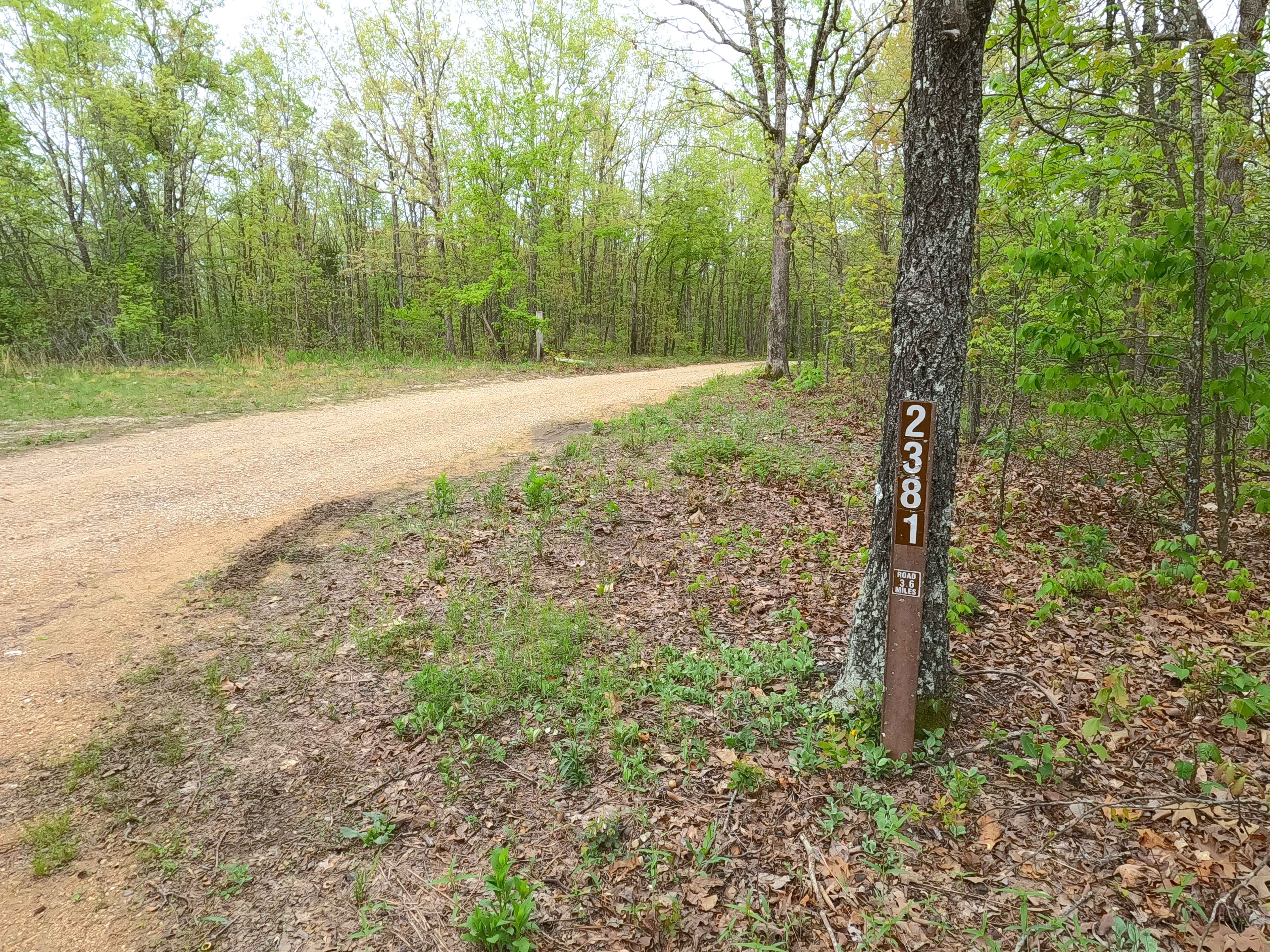
Old Mill - FS 2381
Total Miles
3.1
Technical Rating
Best Time
Spring, Summer, Fall, Winter
Trail Type
Full-Width Road
Accessible By
Trail Overview
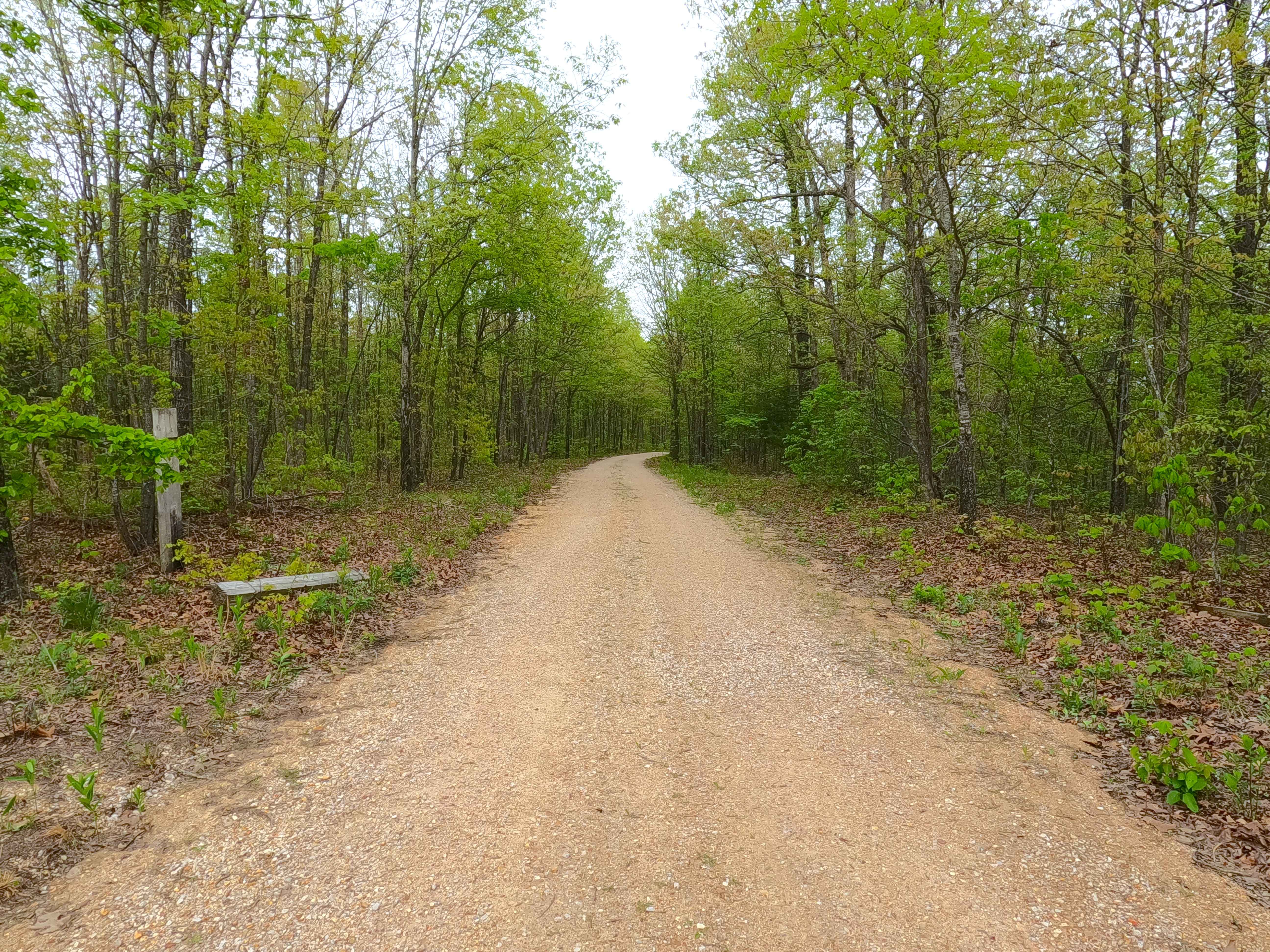
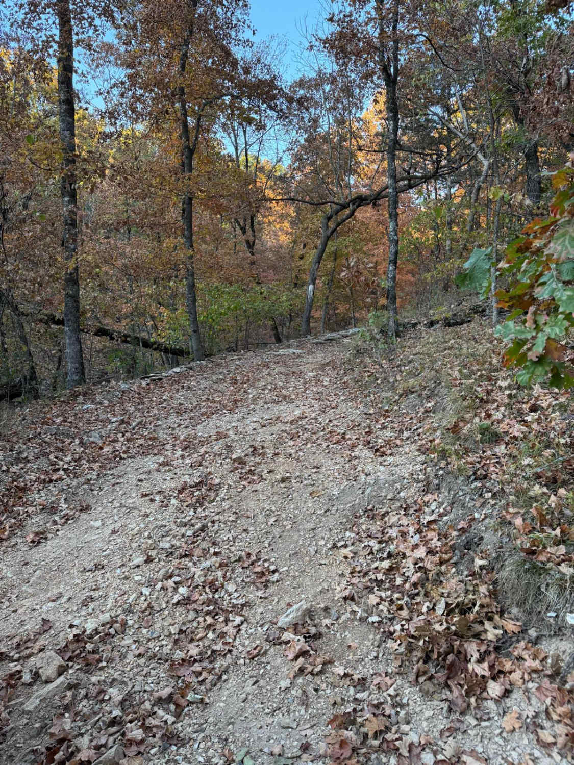
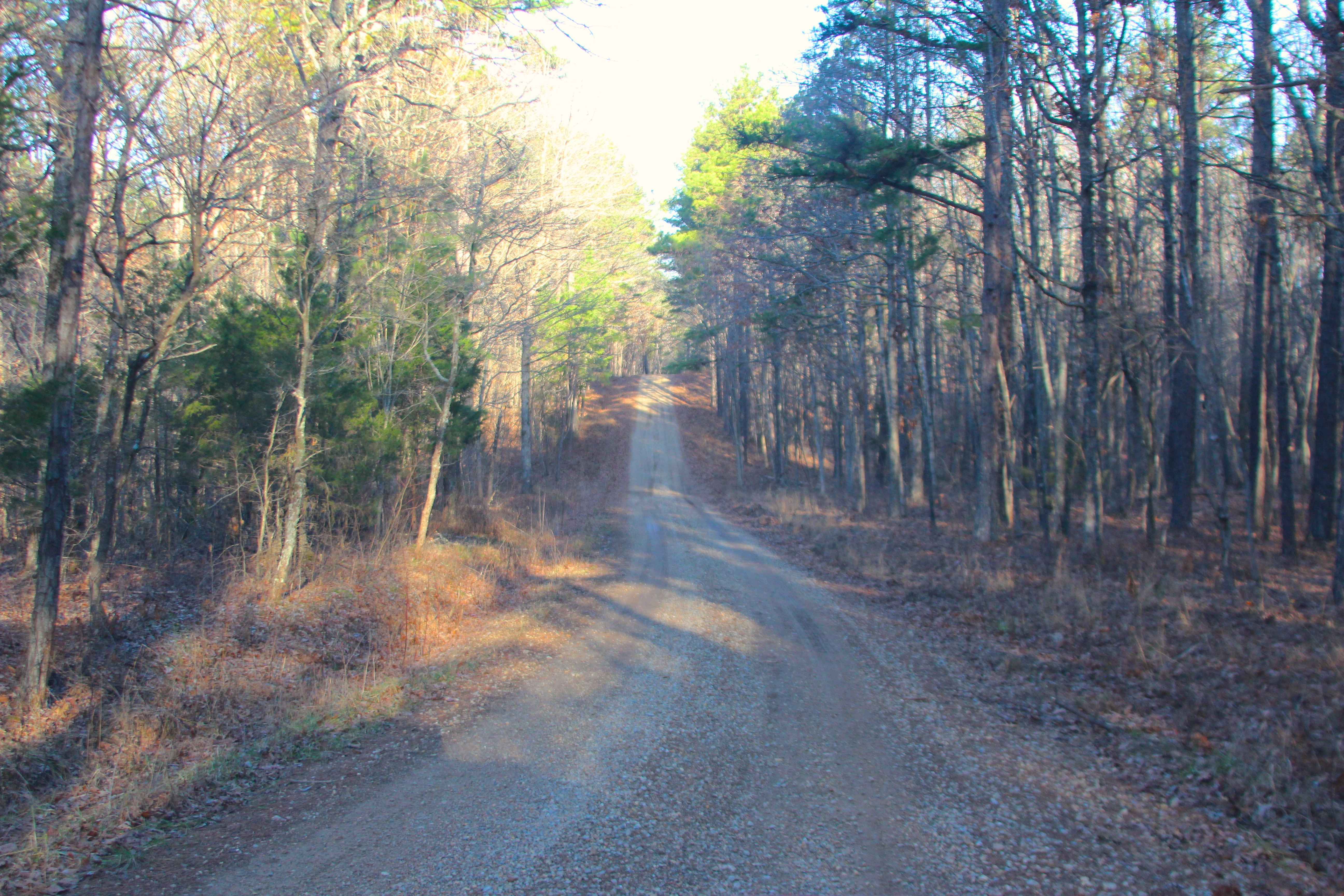
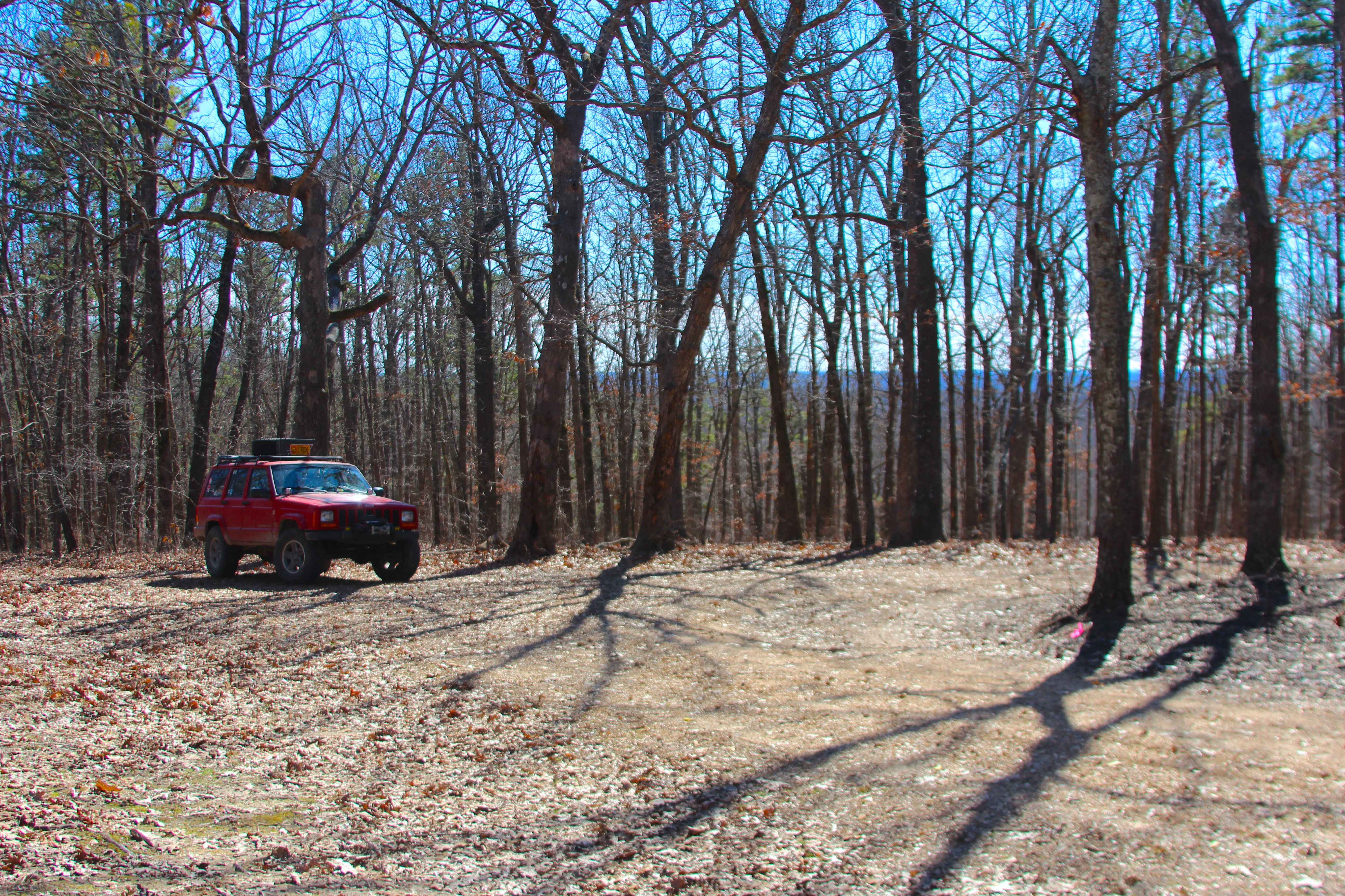
Old Mill FS 2381, is a semi-maintained gravel forest road within the Salem Unit of Mark Twain National Forest. The road features a ridge-top ride on the hill separating James Branch Creek/Chandler Hollow to the North and Indian Creek/Todd Hollow to the South. Along the way, there are small water collection spots, surface mud, and coarse rock. Off the main track, there are several cutouts and old spur roads to use for dispersed camping or to pull off and take a break, enjoying the peaceful vibes of this dead-end road, which used to connect to Dillard Mill Road near the Old Mill Lodge, but is now gated at the private property line.
Photos of Old Mill - FS 2381
Difficulty
The Old Mill is given a base rating of 1/10, being a single-width, two-track, maintained gravel road, with occasional soft spots along the ridge line in the bowl-like sections of the road. It is safe to expect all the normal gravel road complications of washboards, mounding, and potholes. The difficulty could increase due to a lack of maintenance or extreme wet and inclement conditions.
History
According to old maps, the Old Mill Road connected Crooked Tower Road to Dillard Mill Road as a common local connection road, and despite the then Clark National Forest taking ownership of the western 75% of the road in the 1940's, it persisted as a complete road to Dillard as late as 1999, with newer maps now show that it is no longer vehicle accessible, now enforced by the gate that is found at the private property line, over what is left of the narrow width overgrown trail. Documented in 9/2025 by Christopher Menz.
Status Reports
Old Mill - FS 2381 can be accessed by the following ride types:
- High-Clearance 4x4
- SUV
- SxS (60")
- ATV (50")
- Dirt Bike
Old Mill - FS 2381 Map
Popular Trails

Yellow 37
Duffy's Hollow - FS 419
Clear Creek North Side - FS 2269
The onX Offroad Difference
onX Offroad combines trail photos, descriptions, difficulty ratings, width restrictions, seasonality, and more in a user-friendly interface. Available on all devices, with offline access and full compatibility with CarPlay and Android Auto. Discover what you’re missing today!