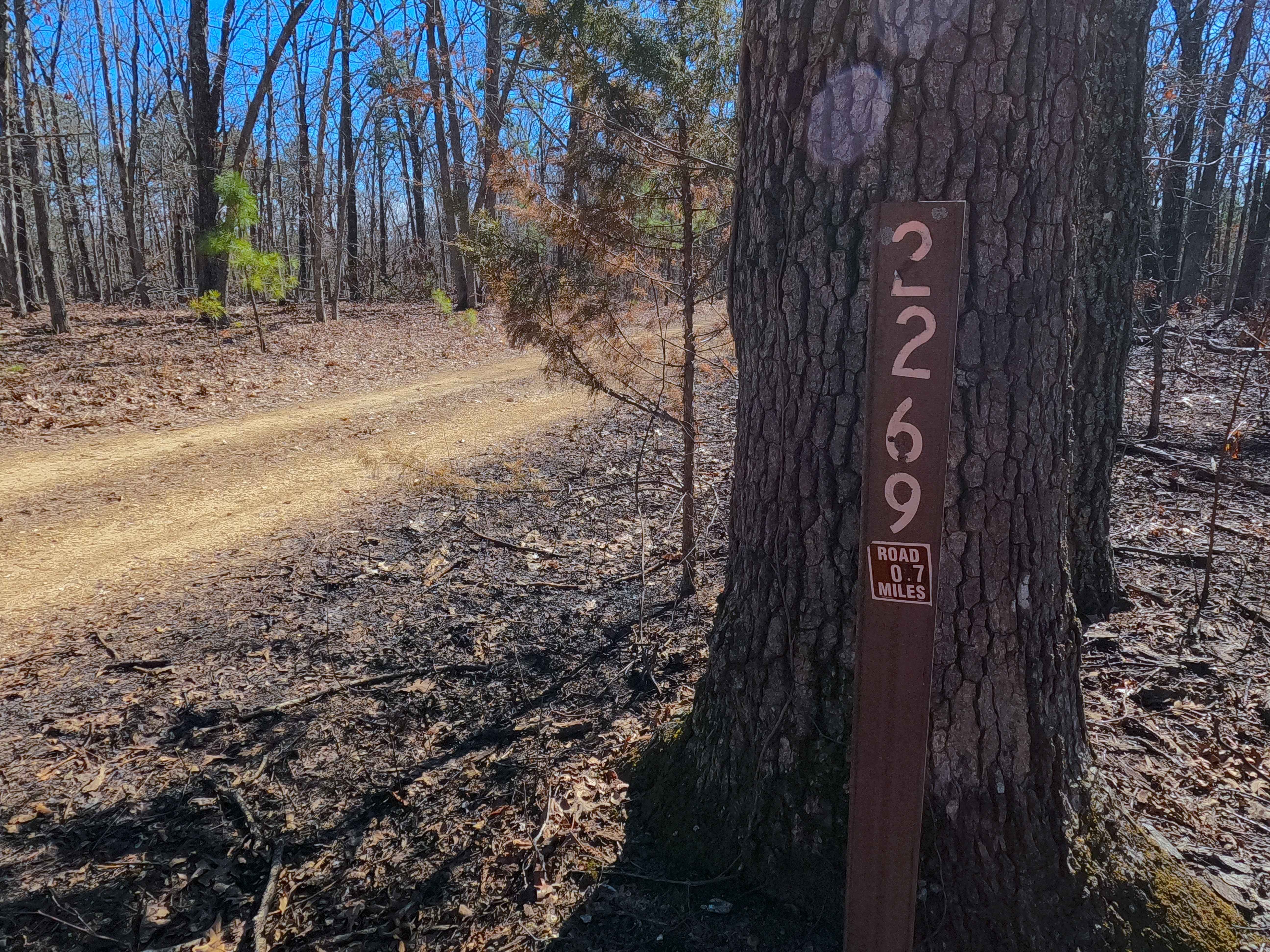
Clear Creek North Side - FS 2269
Total Miles
0.7
Technical Rating
Best Time
Spring, Summer, Fall, Winter
Trail Type
Full-Width Road
Accessible By
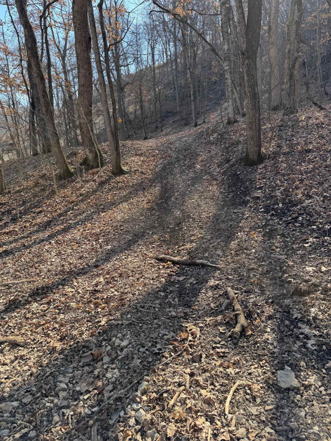
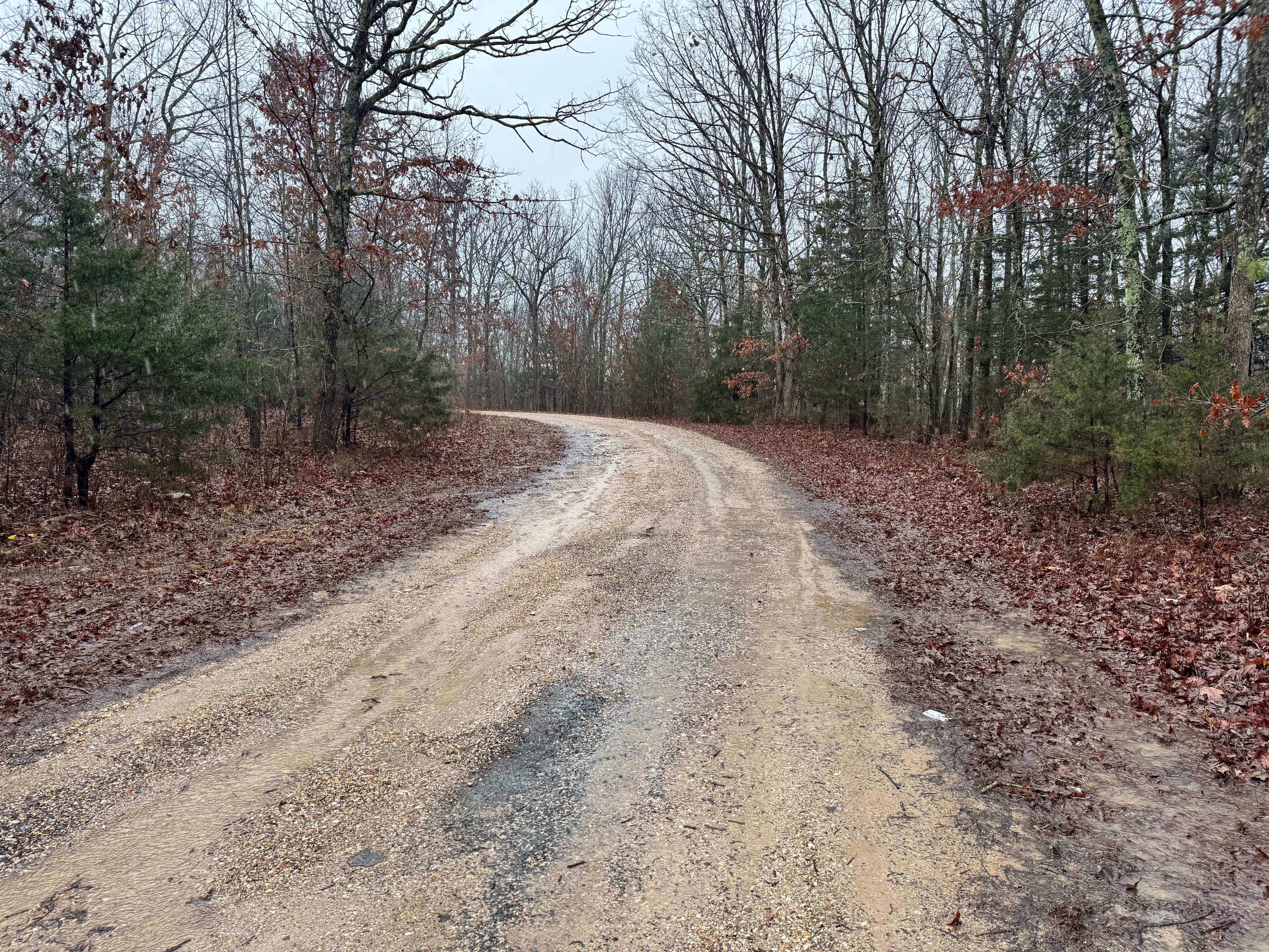
Trail Overview
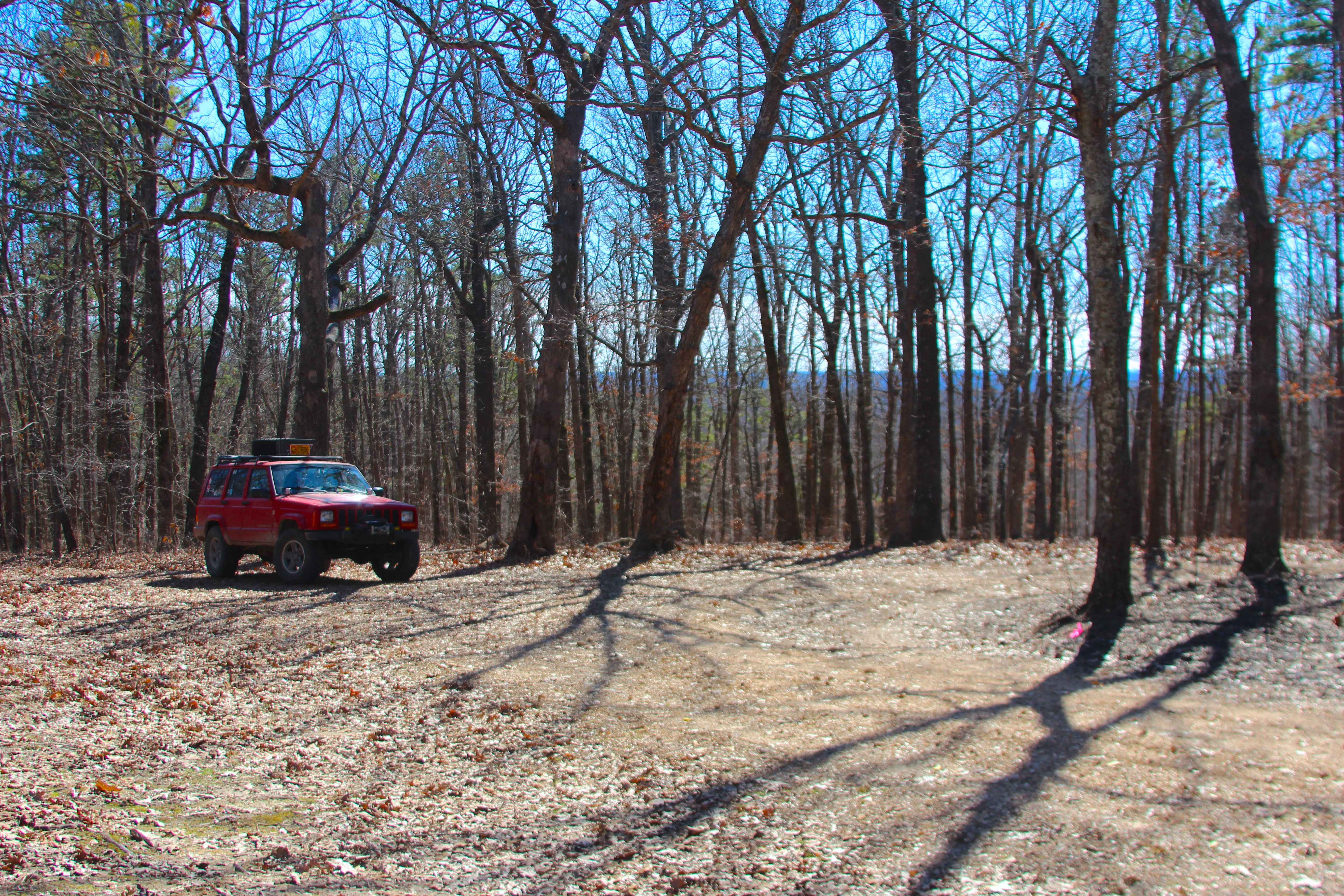
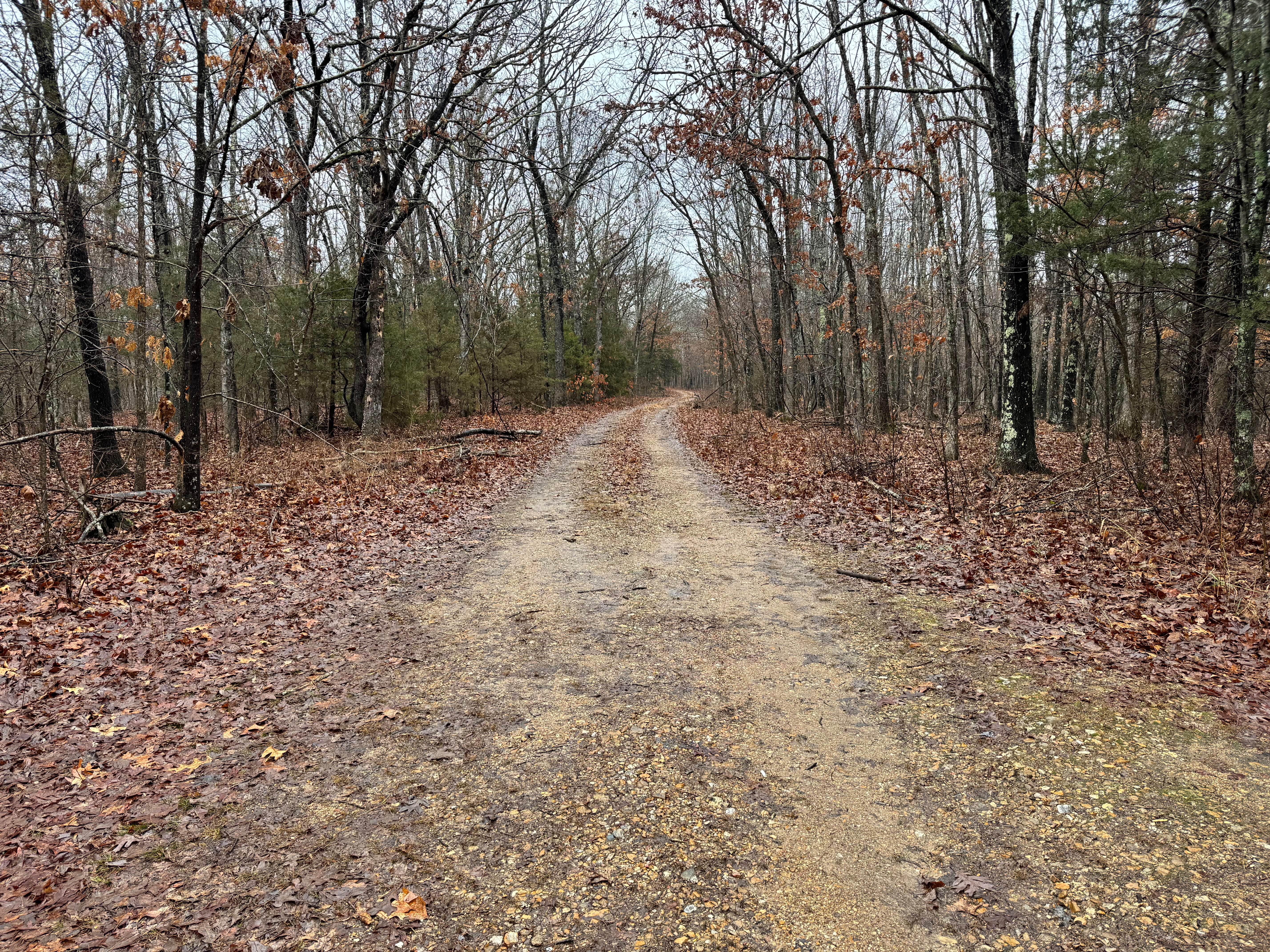
Clear Creek North Side (FS 2269) is a dirt and gravel forest service road within the Potosi Unit of Mark Twain National Forest. The dirty natural gravel surface track heads south from the Floyd Tower Road ridge, going into the treelines at a slight downhill grade to the middle section of the trail that rides a lowered ridge featuring gentle curves and elevation changes to the final hill, climbing a small spine peak along the ridge, ending at an opening featuring a great view southward towards the Clear Creek and the Smith Mill Valley. At this opening is the end of the MVUM-sanctioned road; users must continue down the paths continuing south of this opening on foot, or turn around and head back out the way they entered.
Photos of Clear Creek North Side - FS 2269
Difficulty
Clear Creek North Side is given a base rating of 1/10 for being a mild dirt and gravel road with mild erosion and gravel washes on the mild elevation changes on which the track is laid out. It is safe to expect the basic gravel road complications, such as potholes, washboarding, and mounding of the gravel. Difficulty can increase in times of wet conditions, heavy use, and through a lack of maintenance.
Status Reports
Clear Creek North Side - FS 2269 can be accessed by the following ride types:
- High-Clearance 4x4
- SUV
- SxS (60")
- ATV (50")
- Dirt Bike
Clear Creek North Side - FS 2269 Map
Popular Trails
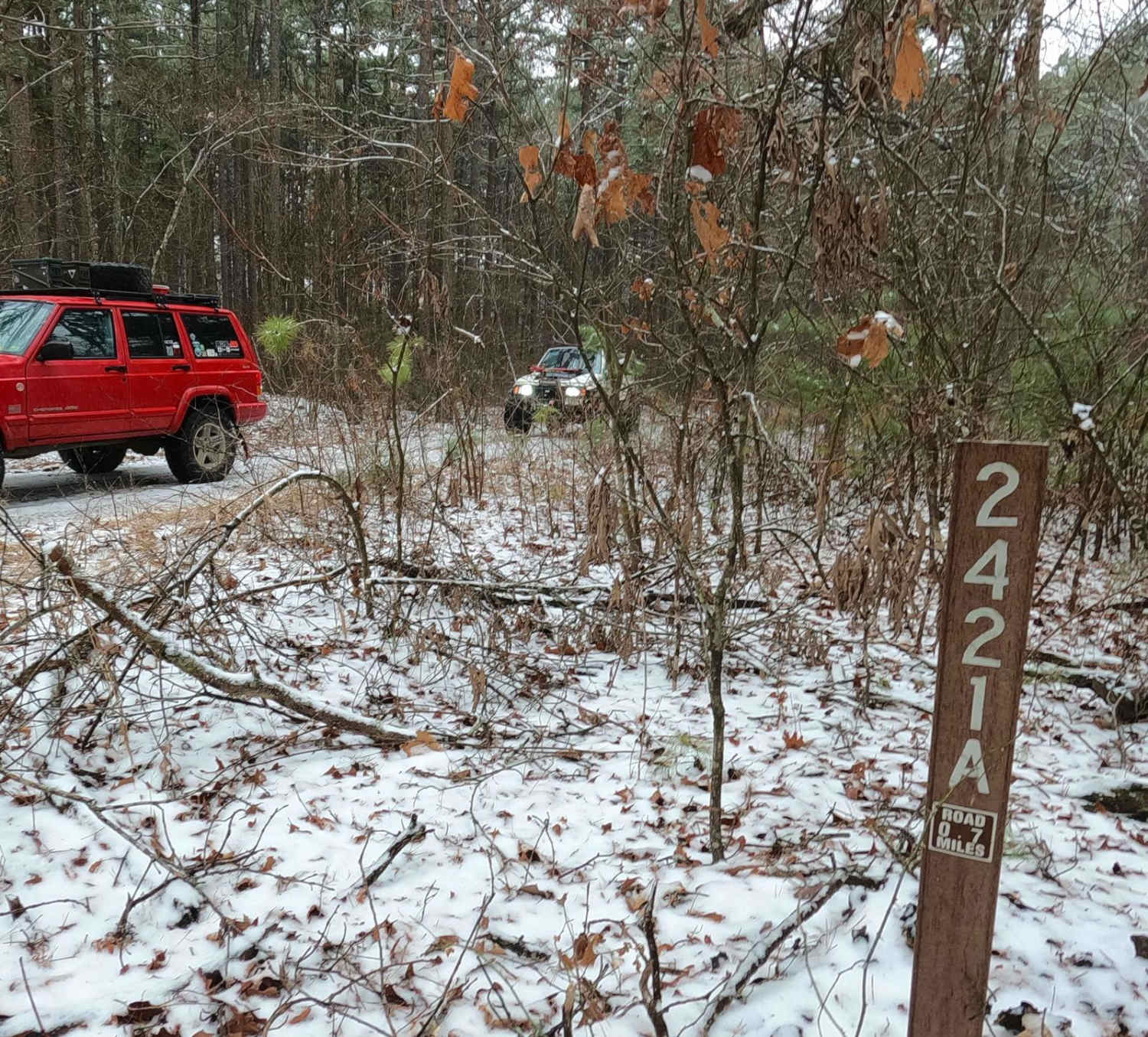
Meridian Spur A - FS 2421A
The onX Offroad Difference
onX Offroad combines trail photos, descriptions, difficulty ratings, width restrictions, seasonality, and more in a user-friendly interface. Available on all devices, with offline access and full compatibility with CarPlay and Android Auto. Discover what you’re missing today!