Duffy's Hollow - FS 419
Total Miles
4.7
Technical Rating
Best Time
Spring, Summer, Fall, Winter
Trail Type
Full-Width Road
Accessible By
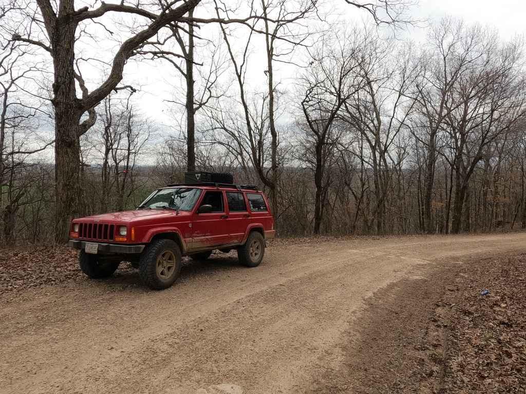
Trail Overview
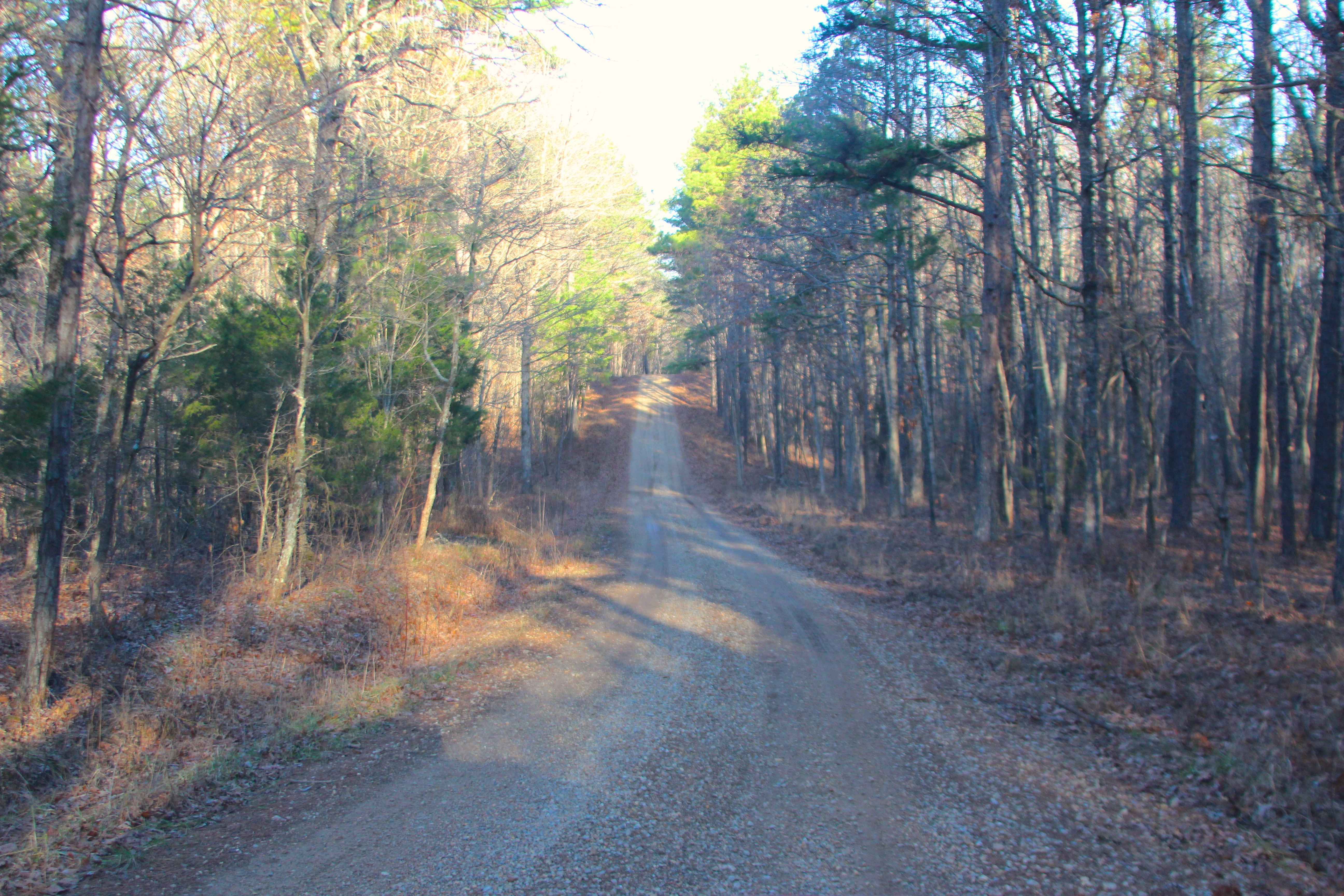
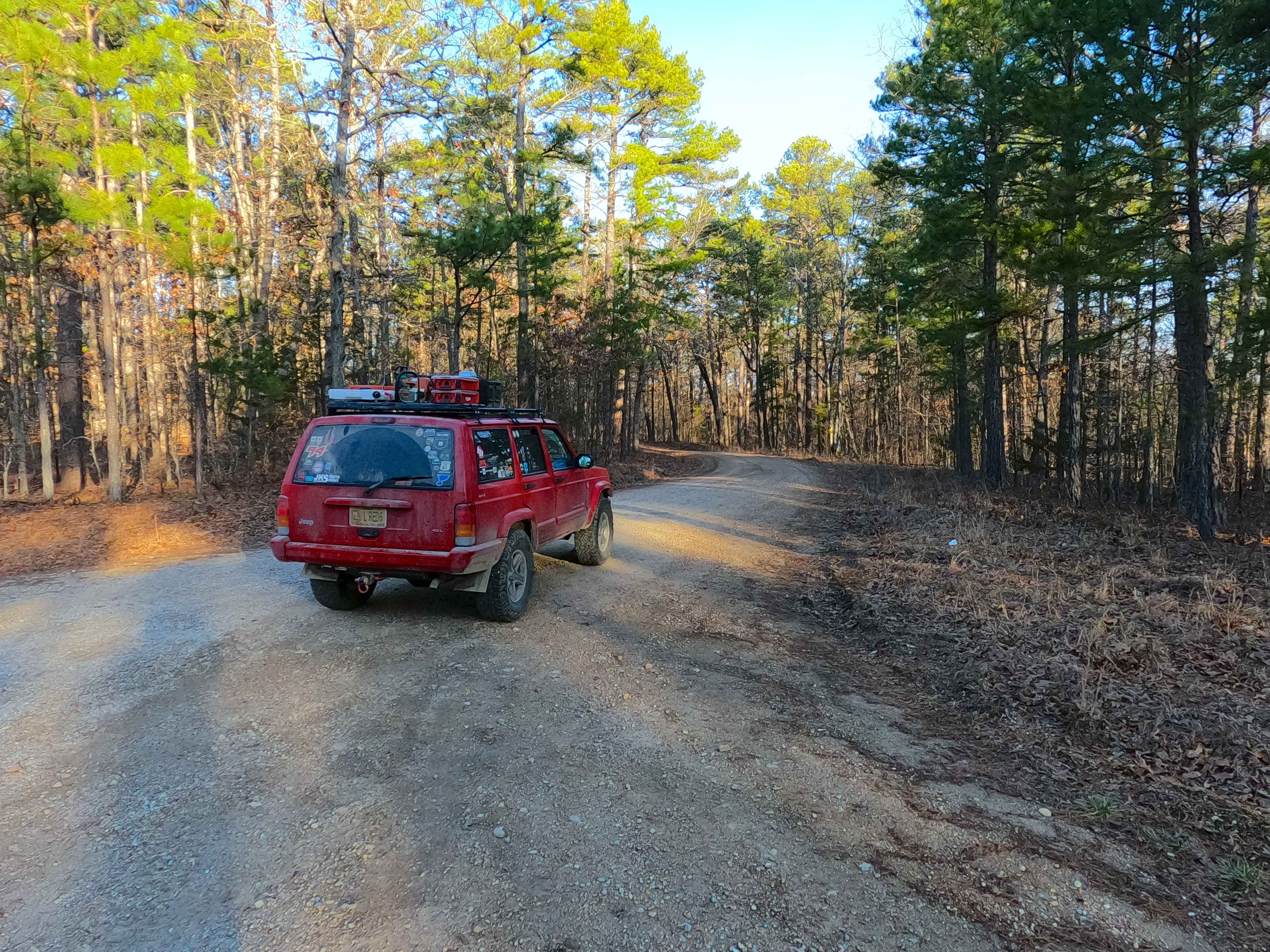
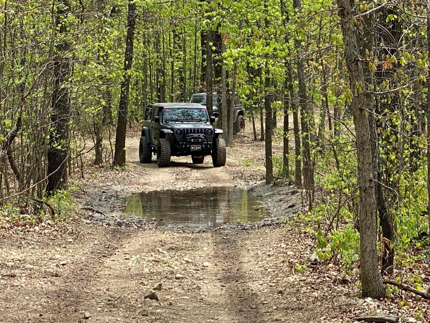
Duffy's Hollow (FS 419) is a semi-maintained gravel Forest Service road within the Willow Springs Unit of Mark Twain National Forest. Duffy's Hollow starts on the ridge top, going north of Missouri Route South 181, also known as the Blue Buck Scenic Byway, heading northwest towards the Indian Creek, first on the ridge tops for the first 1.8 miles, then dropping down a hill to the nearby bottoms of the Indian Creek, to the MVUM end marked by a power line tract passing over the FS Road, here there is a 3 point turnaround, for users to turnaround and head back the way they entered. From this lowest elevated section of the trail, there are several foot paths down to the water, if desiring a place to enjoy the water and scenery along the creek, which features bluffs on the northern side of the creek.
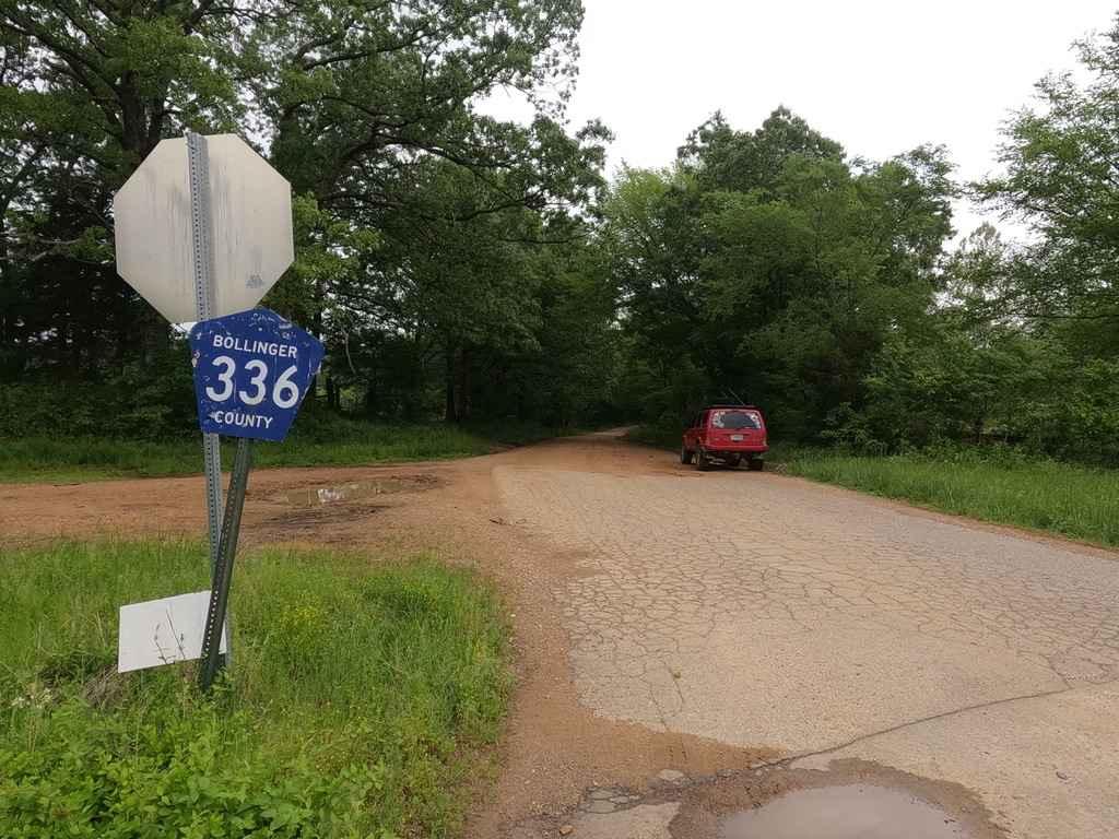
Photos of Duffy's Hollow - FS 419
Difficulty
Duffy's Hollow is given a 2/10 base rating for having small erosion on the mild-graded hill on the far western end of the road, heading down into the bottoms. It is also safe to expect the gravel road complications, such as potholes, washboarding, and mounding of gravel, with the potential for the road surface to fade into dirt, and the potential to become surface mud. There is also potential for small trees to fall into the road, creating obstacles or blockages. Difficulty could increase in times of serious heavy use, lack of maintenance, or from wet and inclement conditions.
History
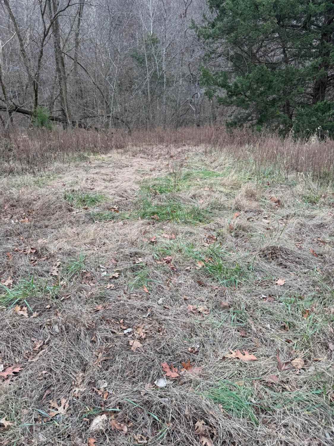
On the weekend of March 21st, 2026, OnX Offroad partnered with local organizations, Rallye In The Ozarks, Heartland Trail Trash, and Critter's Clean Up and Cruise, to host an OnX Offroad Trail Revival Project, to remove 3 large illegal tire dumps, and conduct an additional litter pick-up. The results were impressive, yielding 348 tires and 3000lbs of trash (including an ice chest, 4 couches, and a variety of small litter) being removed from the Mark Twain National Forest in that singular day. Those who decided to stay the entire weekend used Duffy's Hollow as the main dispersed camp road, for centralized lodging not far from all the planned clean-up zones, and the dumpster and meet-up location at Noblett Lake Day Use Area. Documented by Christopher Menz in 4/2026
Status Reports
Duffy's Hollow - FS 419 can be accessed by the following ride types:
- High-Clearance 4x4
- SUV
- SxS (60")
- ATV (50")
- Dirt Bike
Duffy's Hollow - FS 419 Map
Popular Trails
High Mountain Road
Goose Pond Hills Road
Reynolds Ford Road
The onX Offroad Difference
onX Offroad combines trail photos, descriptions, difficulty ratings, width restrictions, seasonality, and more in a user-friendly interface. Available on all devices, with offline access and full compatibility with CarPlay and Android Auto. Discover what you’re missing today!