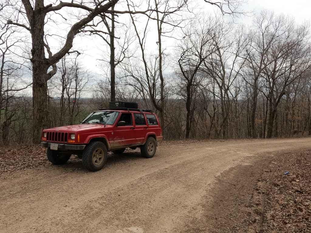
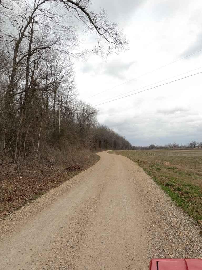
Goose Pond Hills Road
Total Miles
4.5
Technical Rating
Best Time
Fall, Winter
Trail Type
Full-Width Road
Accessible By
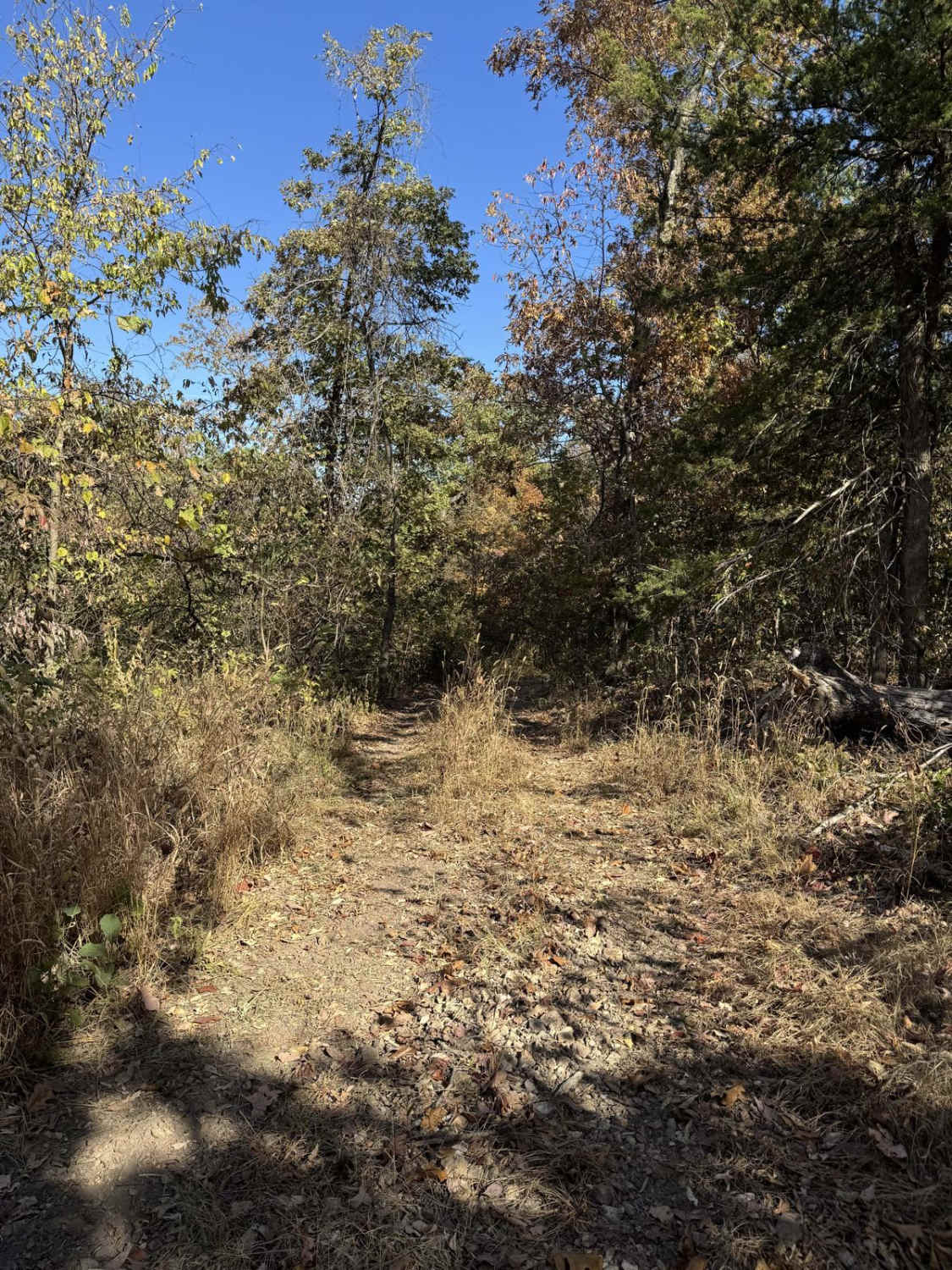
Trail Overview
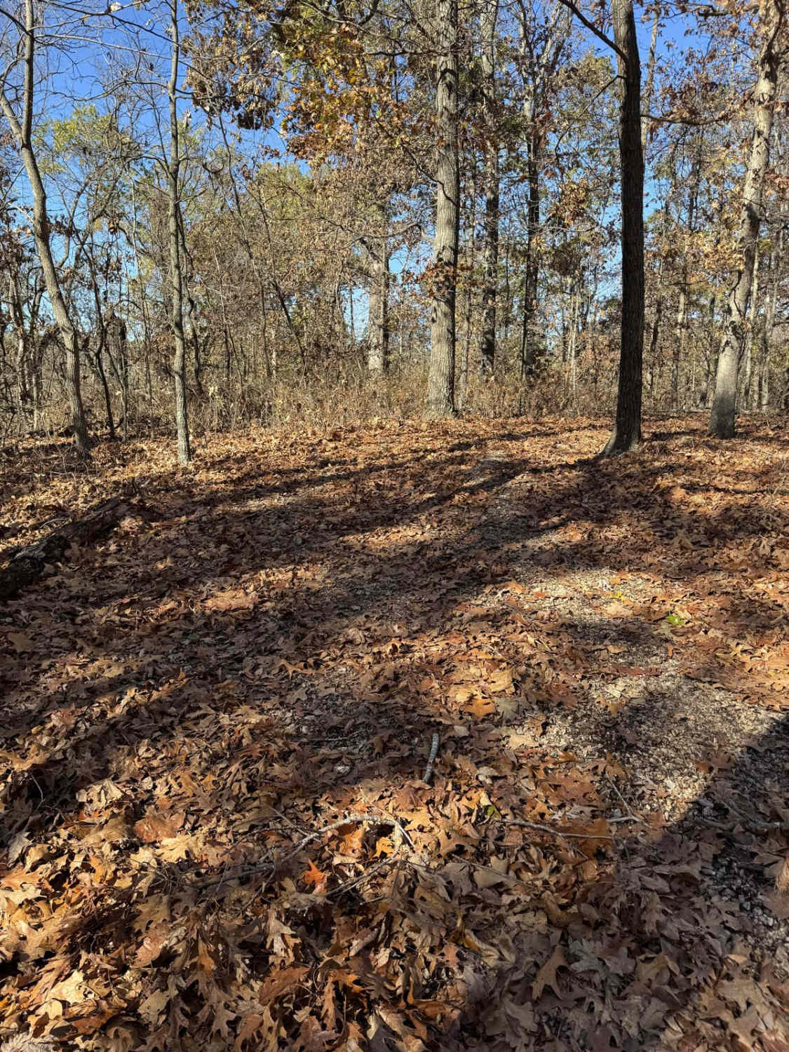
Goose Pond Hills Road is a gravel back road that leads through the Goose Pond Hills northwest of Advance Missouri. The road dances on the Bollinger and Stoddard County lines, featuring Bollinger County 652, and Stoddard County 206 and 211. At 37.12510, -89.94084 there is a decent overlook at the treeline facing south looking at the low-laying land that leads into the Missouri bootheel.
Photos of Goose Pond Hills Road
Difficulty
The Goose Pond Hills Road is an easy gravel-based backroad, featuring washboarding, mounding, and potholes, the Bollinger County side is a bit rougher than the Stoddard County side, but both roads seem to receive regular maintenance.
Goose Pond Hills Road can be accessed by the following ride types:
- High-Clearance 4x4
- SUV
Goose Pond Hills Road Map
Popular Trails
Yee Haw Ledges 111

Dillard Mill Road
The onX Offroad Difference
onX Offroad combines trail photos, descriptions, difficulty ratings, width restrictions, seasonality, and more in a user-friendly interface. Available on all devices, with offline access and full compatibility with CarPlay and Android Auto. Discover what you’re missing today!