Mayfield Loop Bo-Co Road 348/350
Total Miles
4.4
Technical Rating
Best Time
Summer, Fall, Spring, Winter
Trail Type
Full-Width Road
Accessible By
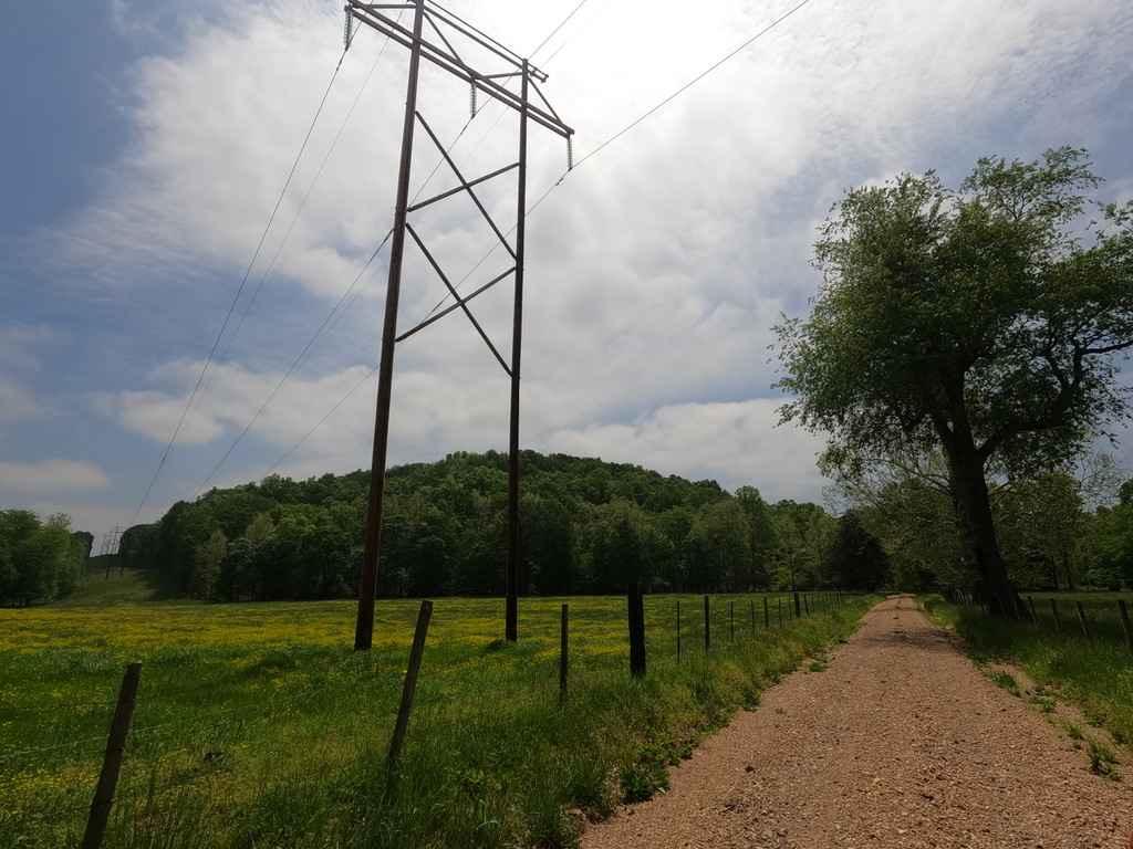
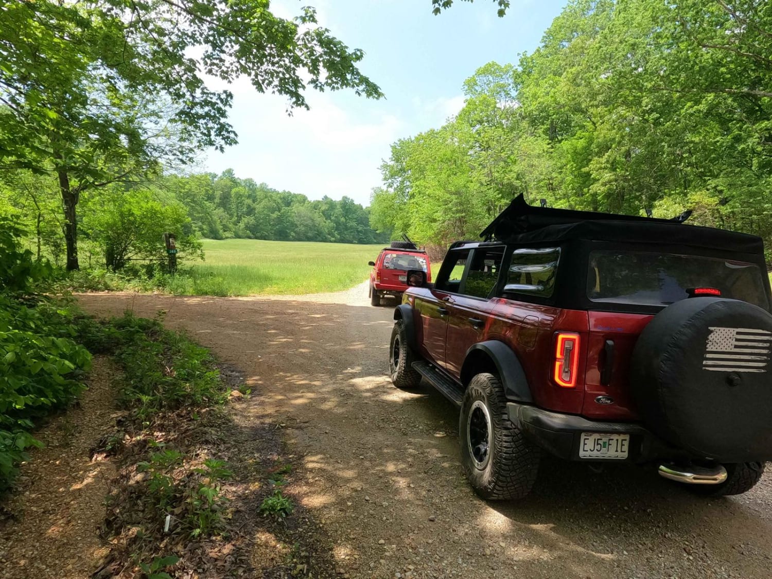
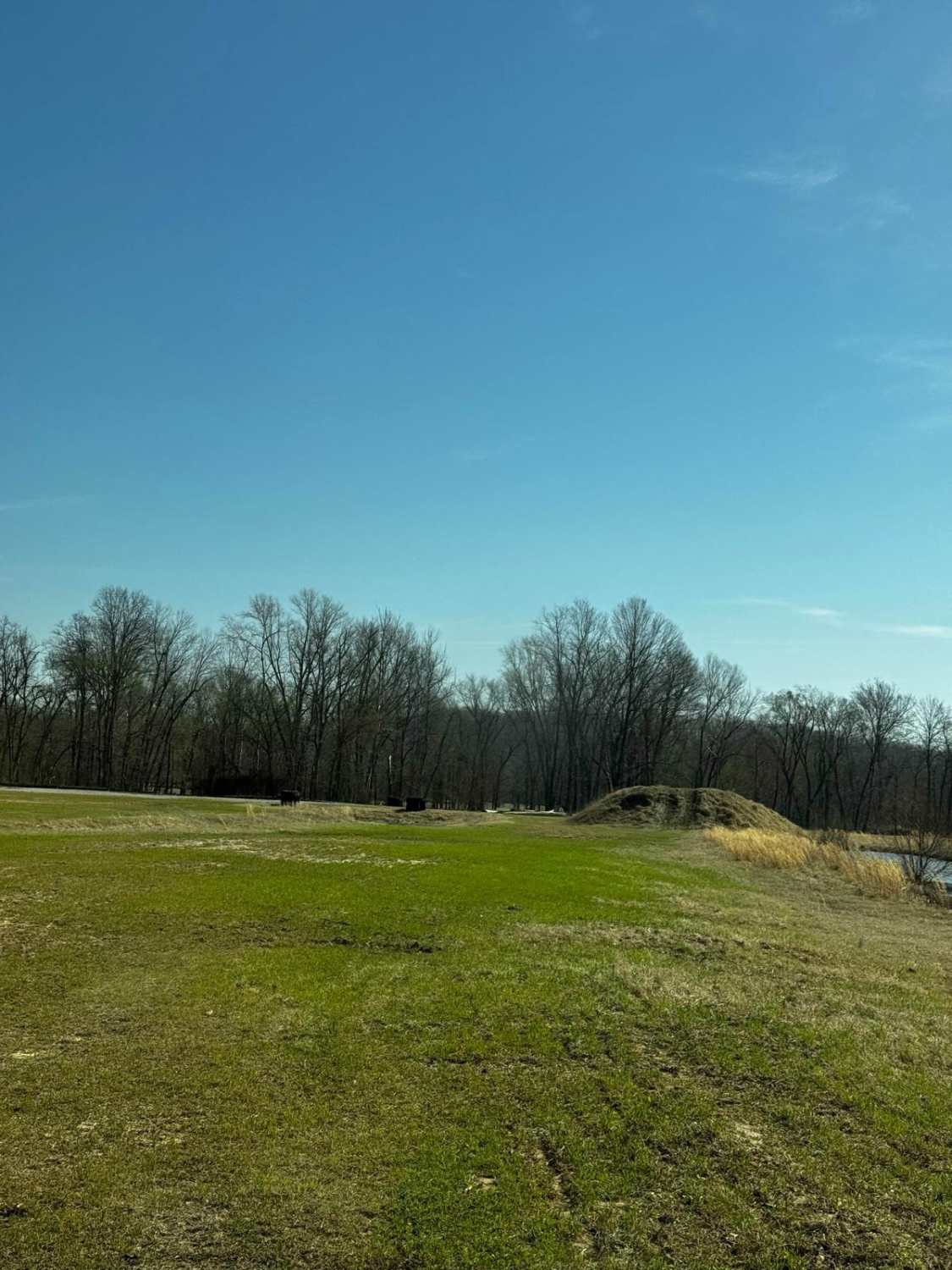
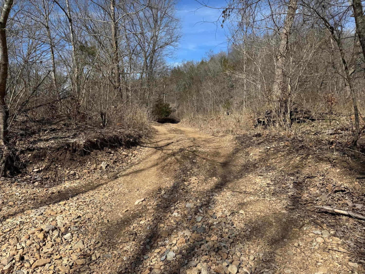
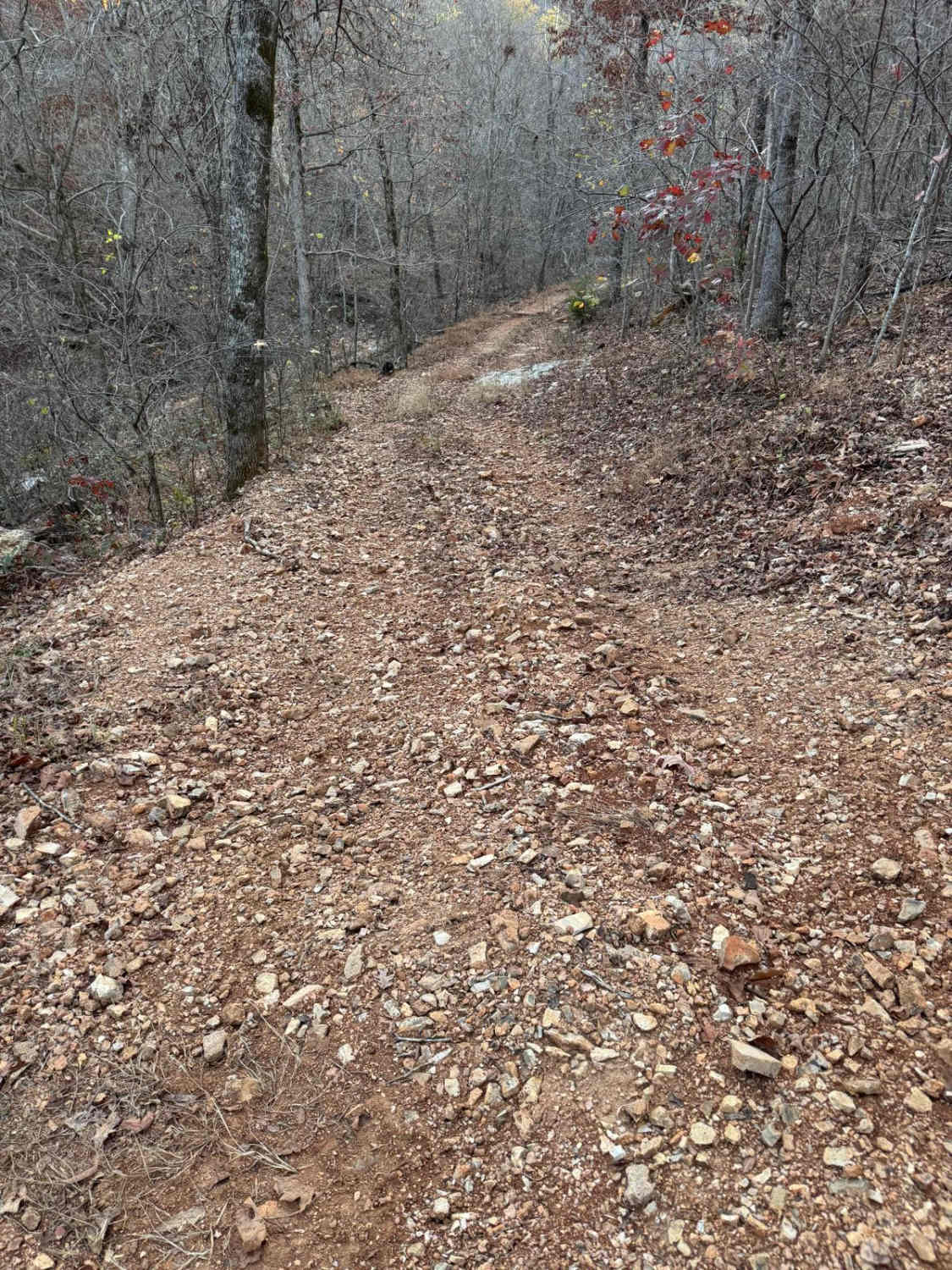
Trail Overview
The Mayfield Loop also known as the Bollinger County Road 348 and 350 is a combined set of roads that from a birdseye view form a (realistic, not cartoon) heart shaped loop through the Mayfield bottoms and hilltops. The hills are steep, the creeks are plentiful, natural rock is part of the road, and there are creek bottom sections of the road. It is a showcase (perhaps a Gatekeeper trail) of the best terrain to expect in Bollinger County, but in an all-in-one package. The road is partially shaped by the Mayfield Creek and it's feeder creeks including the Cooks and German Branch, which total 4-6 crossings depending on water levels, the rest of the roads are shaped by the property lines traversing the hills.
Photos of Mayfield Loop Bo-Co Road 348/350
Difficulty
The difficulty of the Mayfield Loop is as usual for Bo-Co, heavy rooted in two things, how wet it is, and how neglected the road has been, if the road has been mended, it is more like a 3/10, but if it has not seen maintenance in a while it could sway to a 5/10, if water levels are high this also, on it's own, would push it to a 5/10 rating, due to the natural bedrock water crossings you will find on the German Branch and west side of the loop, though on the east side is where you find the steepest hills, that easily will turn into a sloppy muddy mess with any decent rain, these hills also feature rock shelves that will slowly become more and more exposed as the road is beaten in (the pictures in the entry are from a mended state), these make it hard to keep momentum needed to make it to the top if it is muddy, to add to the fire, the edges are also heavily eroded and rutted out and are very prone to hanging up vehicles, considering all this, the road is given a 4/10 base rating.
Status Reports
Mayfield Loop Bo-Co Road 348/350 can be accessed by the following ride types:
- High-Clearance 4x4
- SUV
Mayfield Loop Bo-Co Road 348/350 Map
Popular Trails

Skid Mark
Bounty Hole Loop
The onX Offroad Difference
onX Offroad combines trail photos, descriptions, difficulty ratings, width restrictions, seasonality, and more in a user-friendly interface. Available on all devices, with offline access and full compatibility with CarPlay and Android Auto. Discover what you’re missing today!