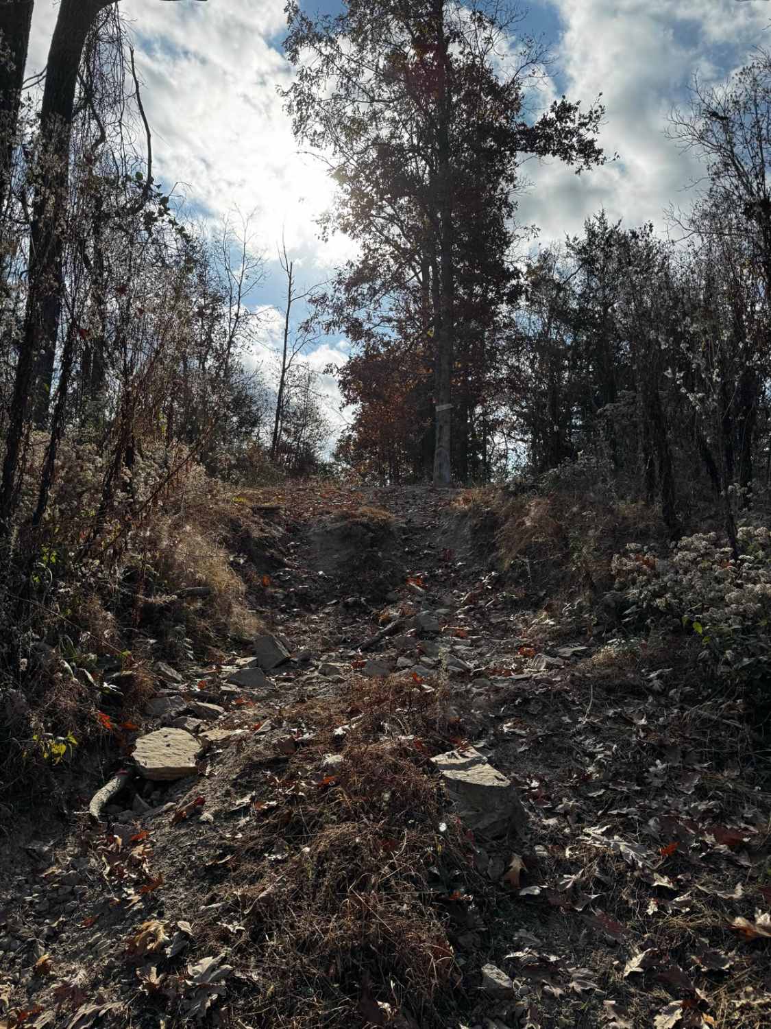
Chloride Ridge FSR 2112
Total Miles
1.7
Technical Rating
Best Time
Spring, Summer, Fall, Winter
Trail Type
Full-Width Road
Accessible By
Trail Overview
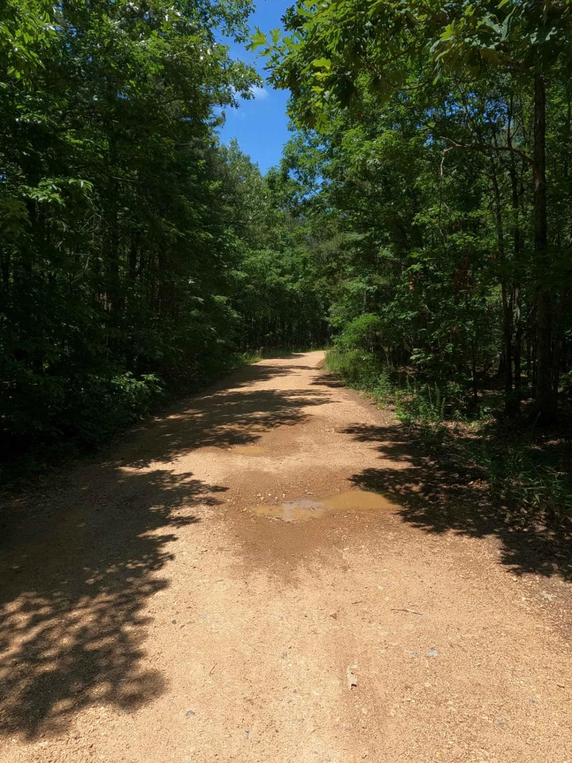
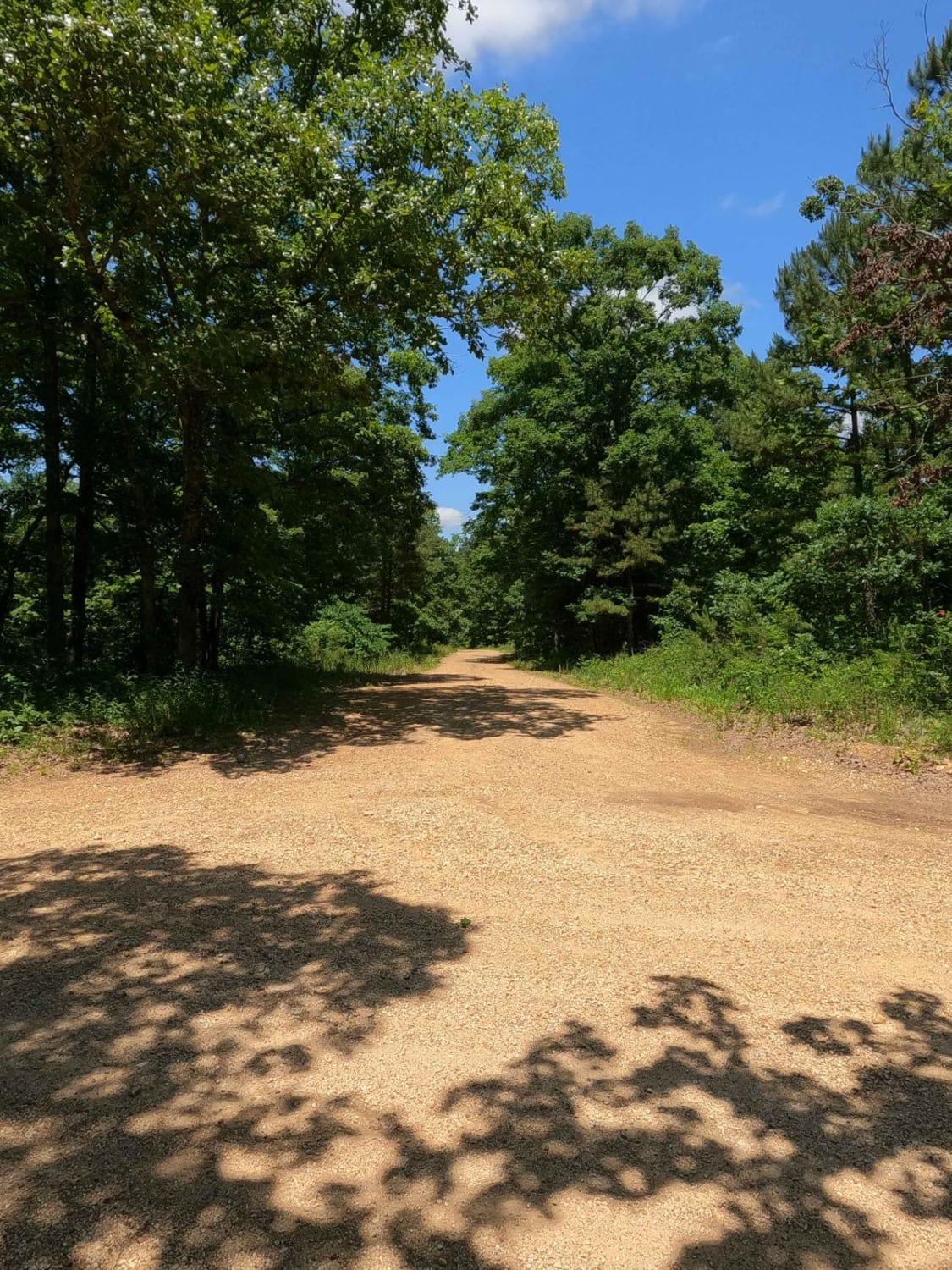
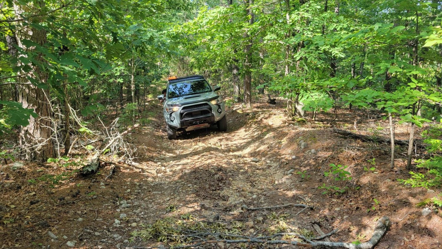
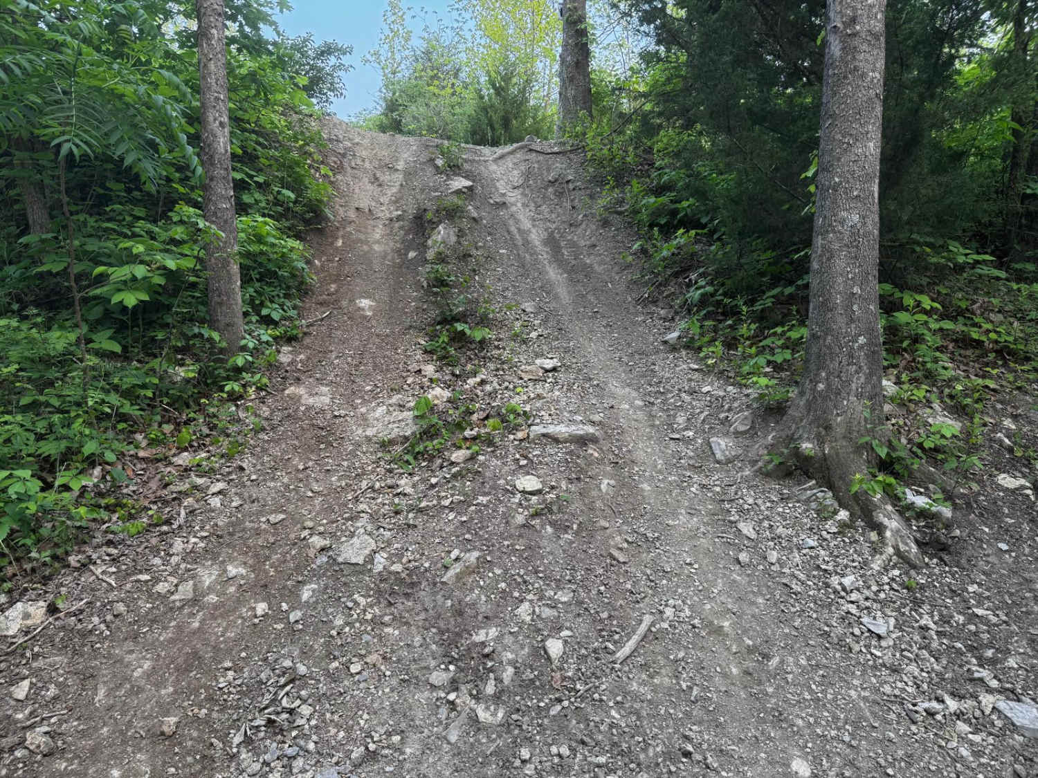
Chloride Ridge FSR 2112, is a simple gravel-based Forestry Road through the Fredericktown Sector of Mark Twain National Forest. The road features a few small rolling hills with mild climbs, and a few small soft wet spots where the gravel fades to dirt, tracking past a few camp cutouts amongst the trees. The primary draw to the road appears to be hunting season, especially with the large amounts of wood and water sources surrounding the road. Towards the northern end of the trail, the Crane Pond Creek starts to parallel the road just to the east. The road begins at Warren Hill Road aka Iron County Road 124, and travels northward, ending at a turnaround and campsite cutout at 37.47283, -90.65085.
Photos of Chloride Ridge FSR 2112
Difficulty
The difficulty of the FSR 2112 is minimal, the hardest part is the few small grades, and soft spots where the gravel fades into dirt, forming surface level mud puddles when wet, and the typical complications to gravel roads, such as potholes, washboarding, and mounding. Given a 1/10 base rating due to the simplicity of this road.
Status Reports
Chloride Ridge FSR 2112 can be accessed by the following ride types:
- High-Clearance 4x4
- SUV
- SxS (60")
Chloride Ridge FSR 2112 Map
Popular Trails

Trace Creek - FS 2673
The onX Offroad Difference
onX Offroad combines trail photos, descriptions, difficulty ratings, width restrictions, seasonality, and more in a user-friendly interface. Available on all devices, with offline access and full compatibility with CarPlay and Android Auto. Discover what you’re missing today!
