Charlton Bluff/Seematter Hollow Road
Total Miles
1.1
Technical Rating
Best Time
Spring, Summer, Fall, Winter
Trail Type
Full-Width Road
Accessible By
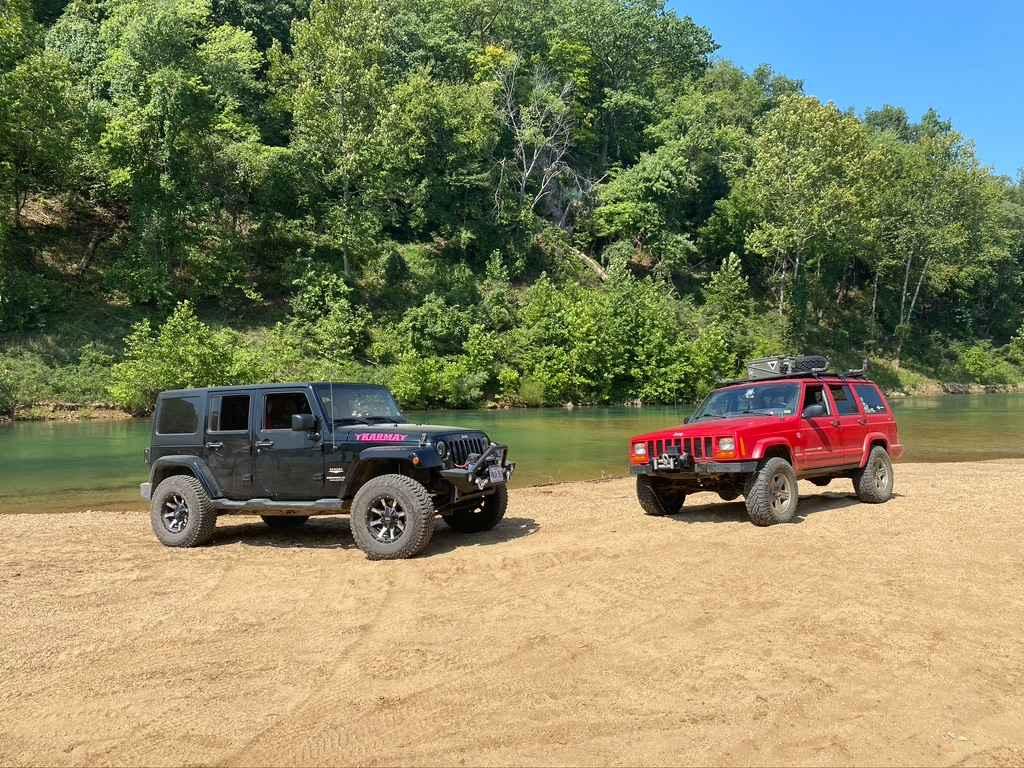
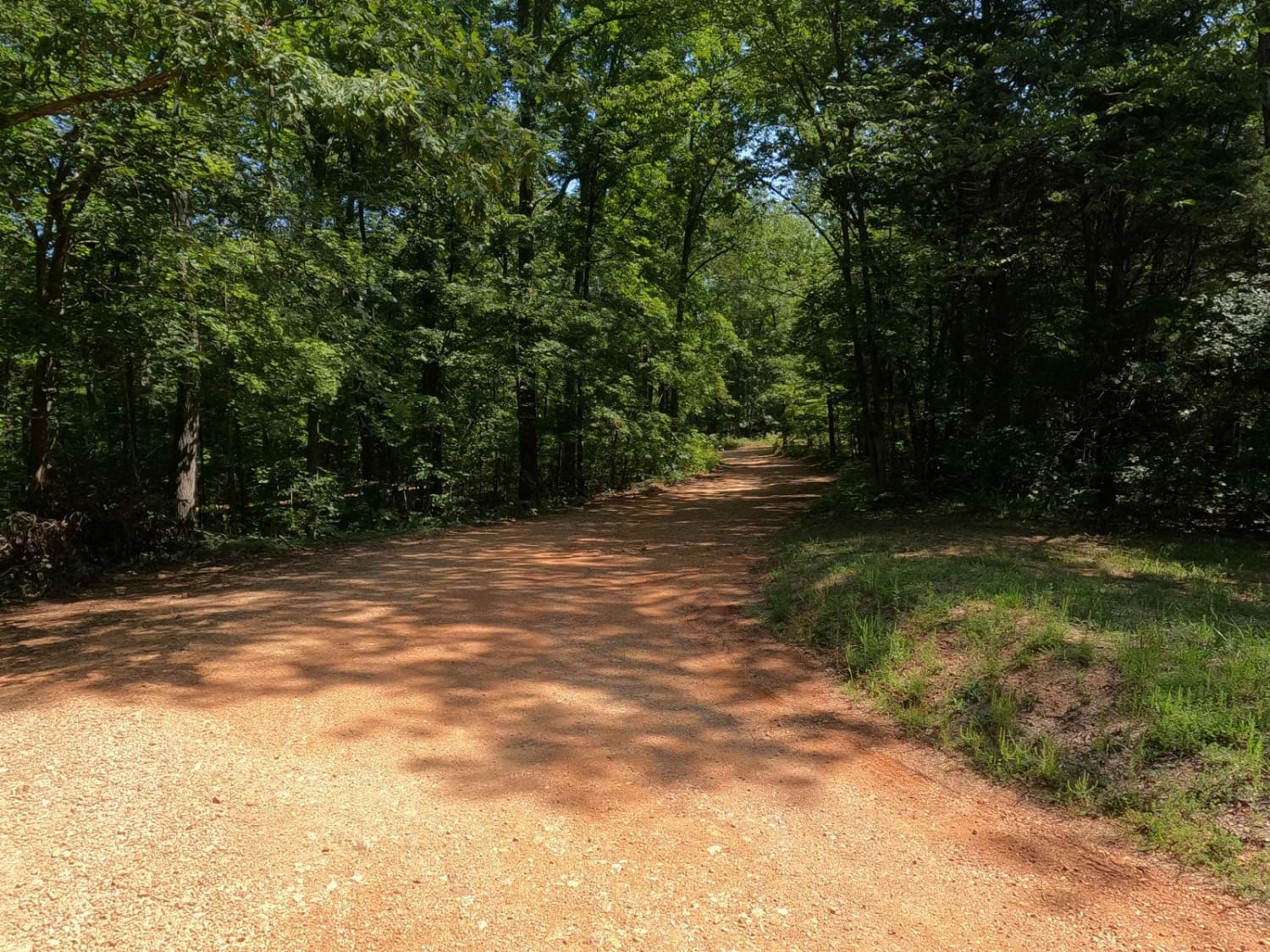
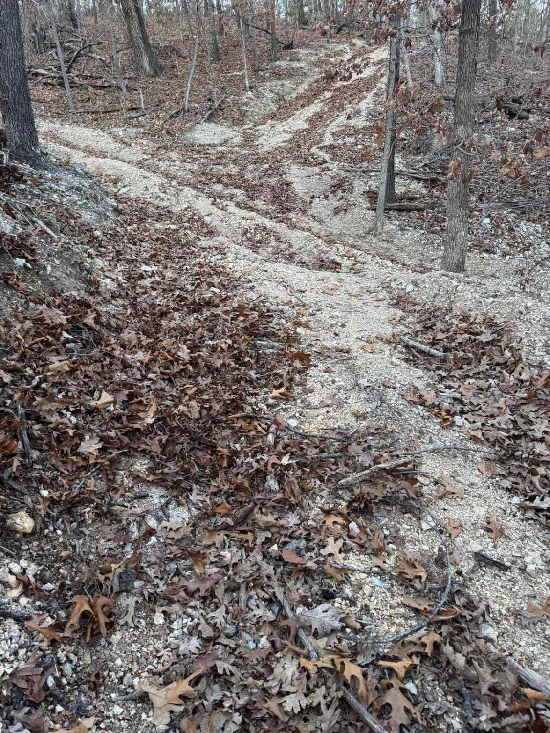
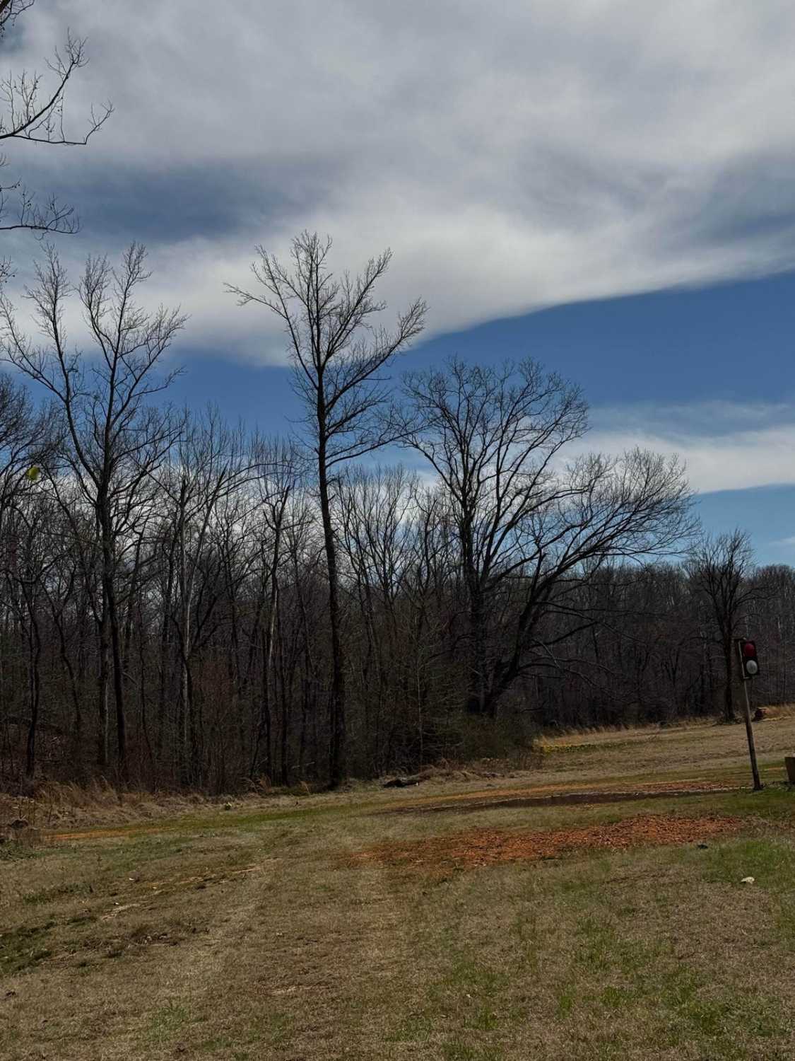
Trail Overview
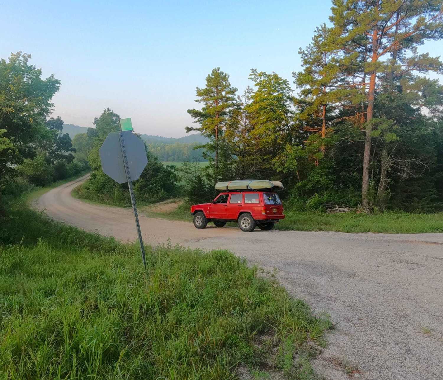
The Charlton Bluff/Seematter Hollow Road is a US Army Corps of Engineers Road that leads down into the eastern shore bottoms of the Black River, where Charlton Bluff sticks out towards the river on the west side shoreline. The road first begins by passing the Seematter Cemetery, right after you turn off Reynolds Co Road 468. It goes down rapidly into the bottoms through some rutted hills, and the natural river gravel of the area becomes the base of the road, along with dirt sections and small water collection spots. Then you will make it to the river gravel bar, where the river rock get's loose and soupy, before crossing through the last treeline, finally making it to the sandy bank touching the river. This Hollow is one of the nicest places to stop for a mid-day swim, fishing spot, kayak pull-out, or just for lunch next to the water. Keep in mind this road, gravel bar, and sandy shore are always subject to change, the river can flood all this land nearly up to the cemetery after it comes back down. It may not look near the same as pictured but should remain similar in terrain, helping keep it up to date with the onX Trail Reports. To further drive this point, when coming to the area, check the Black River and Clearwater Lake levels to guarantee a good ride.
Photos of Charlton Bluff/Seematter Hollow Road
Difficulty
The difficulty leading down into the bottoms past the cemetery, is minimal if you pick wise lines, if you decide to choose the hard ruts, it is sizably more fun, but also requires pulling 4WD, then there is the river bank, the river gravel is course, loose, and prone to sinking when driven on, though you may not need 4WD, it is recommended, to avoid being surprised and leading to potentially worse, being stuck. Then you get to the sand, an even less packed, softer terrain to the river gravel before it, it is recommended to not attempt it unless you have 4WD, the sand section has a few water collection spots (3"-18" depending on last rain/flood) amongst the treeline to add to it leading to the river's edge. If you take your time and pick wise lines, this could be a 2/10 road all the way to the gravel bar, but if you decide to go all the way to the edge of the river this is a 3/10 road, the need of knowing how momentum works is critical for the sand, and river rock for that matter, both can and will stop a vehicle in it's tracks if the driver is not paying attention to the soft spots. Given a base rating of 3/10 if taking the road all the way to the sand. It is recommended having a friend, traction boards, and a winch or all three just in case someone needs help getting out. NOTE don't drive in the river water.
History
The Clearwater Lake earth embankment dam was designed by the U.S. Army Corps of Engineers to provide water supply, recreation, and flood control to the surrounding local area. Construction on the dam was originally started in 1940 but was not completed until 1948 due to the Second World War. Top 3 historic flood level crests at the Clearwater Lake Dam gauge are, 566.60 ft on 05/20/2002, 566.59 ft on 05/01/2011, and 565.55 ft on 05/01/1957, the normal day level is approximately 490-500 ft.
Charlton Bluff/Seematter Hollow Road can be accessed by the following ride types:
- High-Clearance 4x4
- SUV
Charlton Bluff/Seematter Hollow Road Map
Popular Trails

Yellow 272
Rocky Falls - SCR 526
The onX Offroad Difference
onX Offroad combines trail photos, descriptions, difficulty ratings, width restrictions, seasonality, and more in a user-friendly interface. Available on all devices, with offline access and full compatibility with CarPlay and Android Auto. Discover what you’re missing today!