Brush Creek Road
Total Miles
4.5
Technical Rating
Best Time
Spring, Fall, Winter, Summer
Trail Type
Full-Width Road
Accessible By
Trail Overview
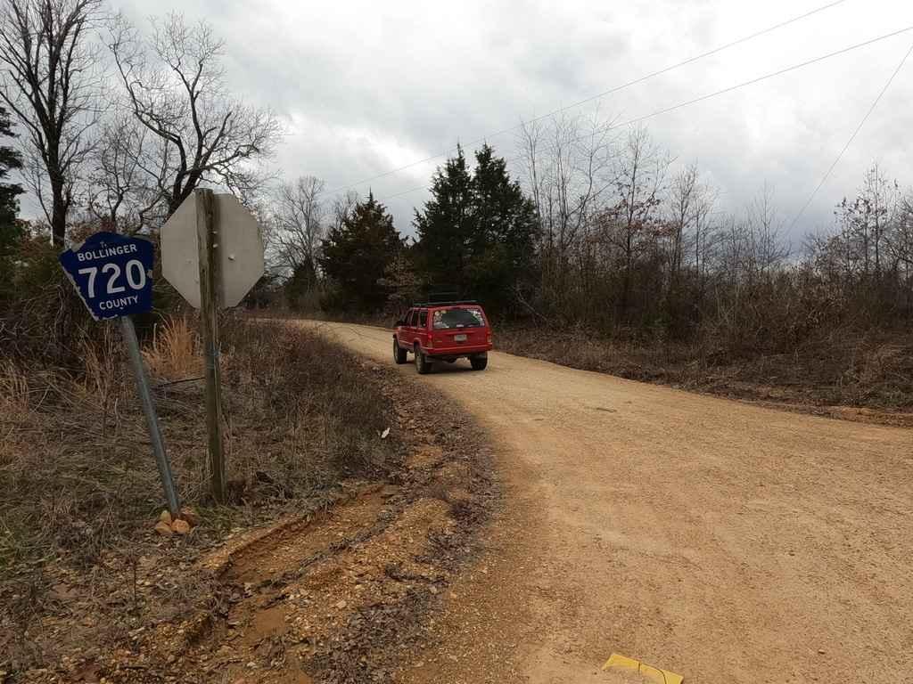
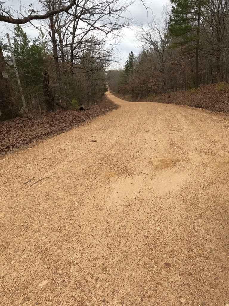
Brush Creek Road, or Bollinger County 720, is a gravel backroad that, runs along Brush, and Slagle Creek through the hilly countryside. The road features several steep hills, sections of the road that show serious wear and potential for flash flooding when conditions are wet. The road has a base of red course creek gravel with a big natural rock sticking out at the surface in typical Bollinger County fashion.
Photos of Brush Creek Road
Difficulty
The Brush Creek road features sections where the gravel fades to dirt and mild ruts, and also has natural rocks popping out in spots along the road, there is also a low water bridge near the center of the road, and there are signs that the creek flash floods here and could easily cover the road and become the biggest obstacle the road could have, due to the roads low maintenance it appears to fall into mild muddy sections and small water collection spots, and also features the typical mounding, washboarding, and potholes.
Status Reports
Brush Creek Road can be accessed by the following ride types:
- High-Clearance 4x4
- SUV
Brush Creek Road Map
Popular Trails
Bo-Co Road 872
Bass River Scenic Route
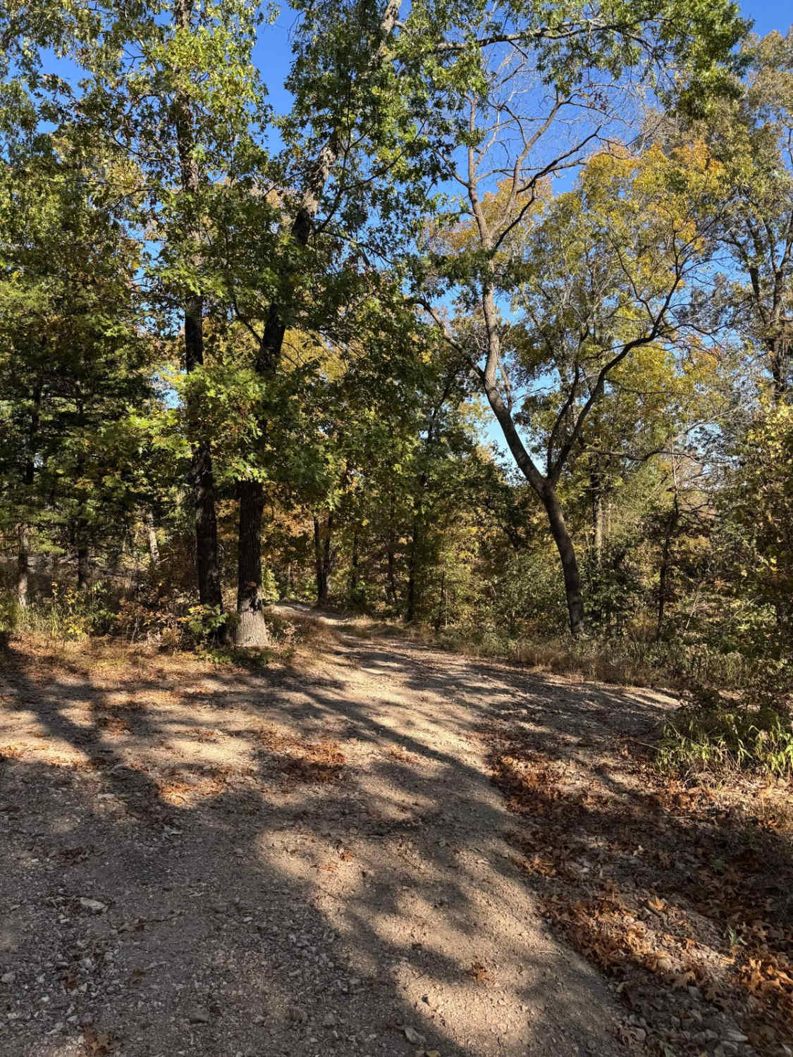
Yellow 71
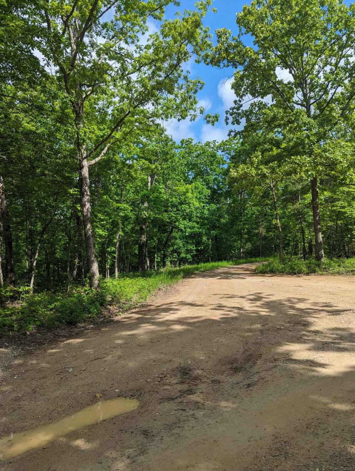
FSR 3136- Brown's Ridge
The onX Offroad Difference
onX Offroad combines trail photos, descriptions, difficulty ratings, width restrictions, seasonality, and more in a user-friendly interface. Available on all devices, with offline access and full compatibility with CarPlay and Android Auto. Discover what you’re missing today!
