Turkey Knob 3145
Total Miles
23.9
Technical Rating
Best Time
Spring, Summer, Fall
Trail Type
Full-Width Road
Accessible By
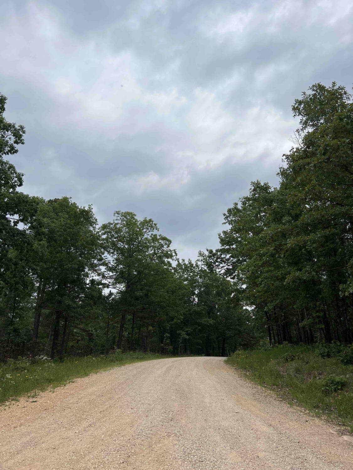
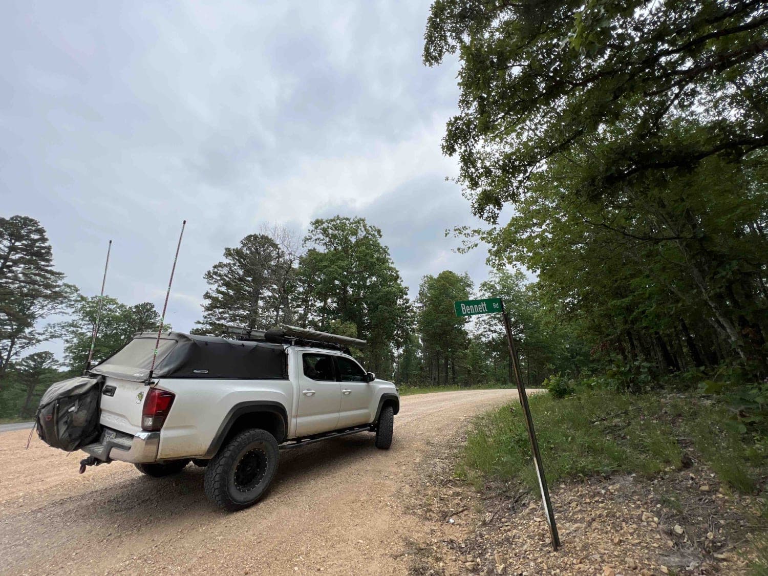
Trail Overview
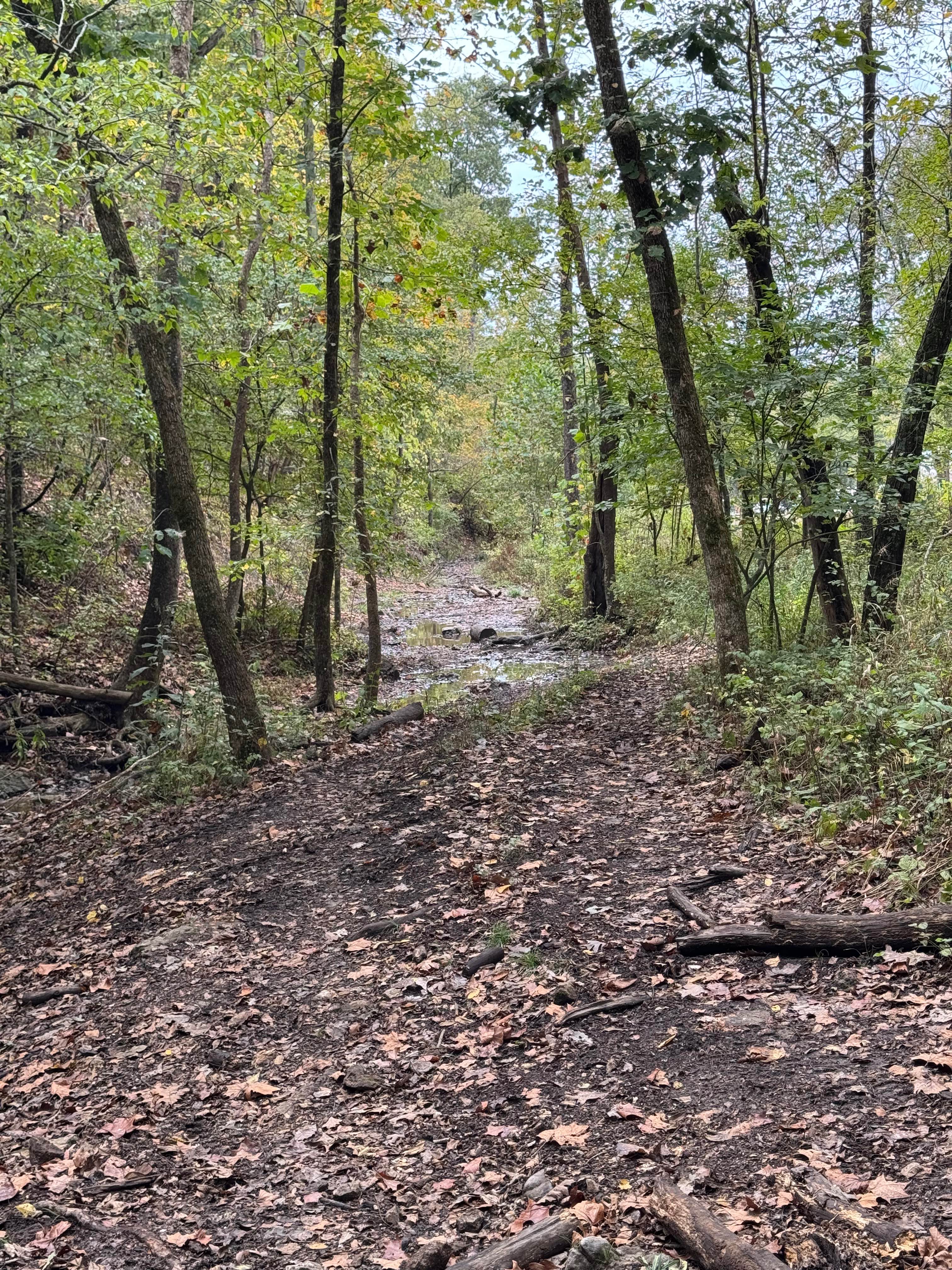
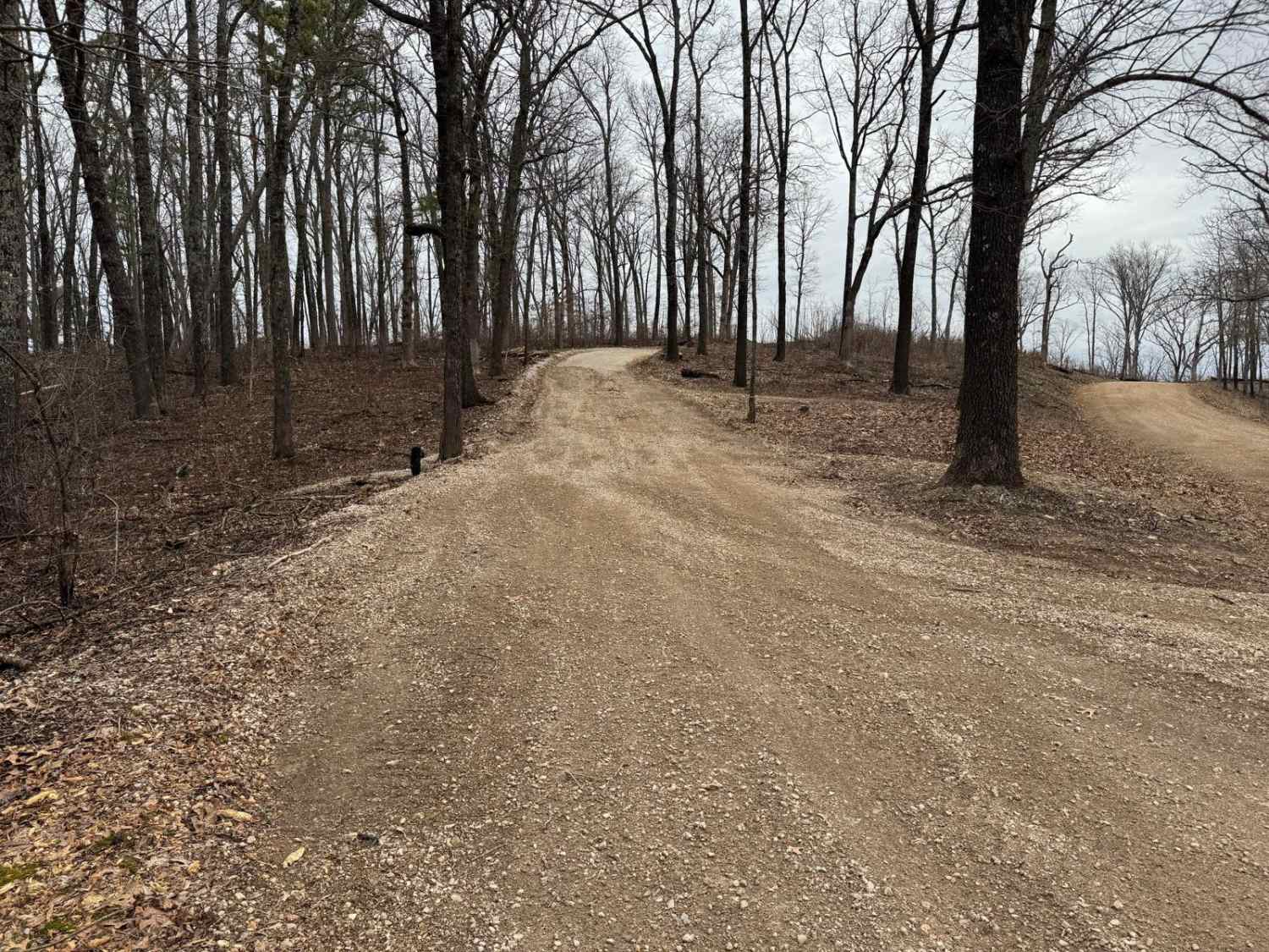
Turkey Knob 3145 is an easy gravel road that takes you off-road from highway 60 south to highway 160 and is 23.8 miles long. When you first turn off of highway 60, you will find signs on the Decline of the Shortleaf Pine which is a collaborative project with several organizations to help bring the species numbers back up. From there, you will come to the Ozark Trail Between The Rivers which is a 13 mile hiking trail that connects the Eleven Point and the Current River. Little Barren Creek is a small clear creek that runs over the road and can cause the road to be impassable during heavy rains. During the summer months it's at a very low level which makes it passable with a low clearance vehicle. There is a really nice big campsite, however the campsite is primitive. Pack and pack out rules apply along with tread lightly. Continuing south on this well maintained gravel road you will come to the Buffalo Creek Campground which is situated on a nice little piece of land right on a beautiful clear creek which is a free site. There are five campsites one of which can accommodate an RV but this is primitive with only a pit toilet bathroom. Each site has a fire ring and a picnic table and shore access to the creek and is nicely shaded with some sun areas near the creek. From there the trails heads south and ends at highway 160. The wildlife in the Mark Twain NF is around 650 different species. The most prominent and spotted the most in this area is the Box Turtle which can be found in the middle of the road on all roads in Missouri. They will look like rocks on the road so be mindful and be watching out for these little creatures. Also spotted were deer, lizards, glow bugs, racoon, Barn Swallows, Bald Eagles, hawks, Turkey Vultures, Blue Heron and Barn Owls.
Photos of Turkey Knob 3145
Difficulty
There is a water crossing which isn't passable for low clearance vehicles during heavy rains, other than that this is a very easy gravel road which can accommodate two vehicles.
History
Here is a scholar article on the history and restoration of this area of the Mark Twain Forest. https://play.google.com/books/reader?id=WKA2AQAAMAAJ&pg=GBS.PA2&hl=en
Turkey Knob 3145 can be accessed by the following ride types:
- High-Clearance 4x4
- SUV
- SxS (60")
- ATV (50")
- Dirt Bike
Turkey Knob 3145 Map
Popular Trails
Hillside Climb Access
Wildcat Road

Outer Limits Spur
The onX Offroad Difference
onX Offroad combines trail photos, descriptions, difficulty ratings, width restrictions, seasonality, and more in a user-friendly interface. Available on all devices, with offline access and full compatibility with CarPlay and Android Auto. Discover what you’re missing today!