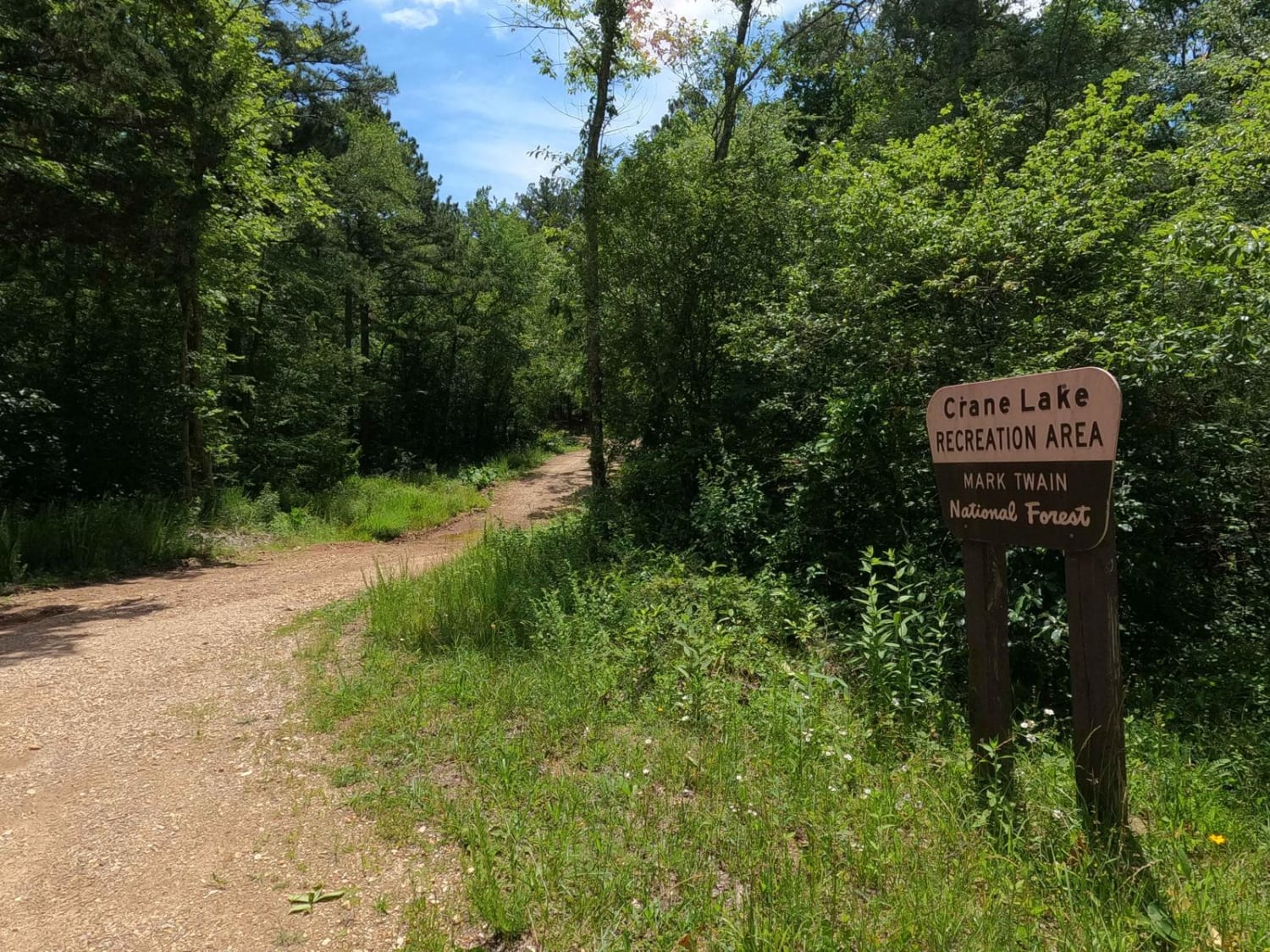
Crane Lake Recreation Area FRS 2117
Total Miles
0.2
Technical Rating
Best Time
Spring, Summer, Fall, Winter
Trail Type
Full-Width Road
Accessible By
Trail Overview
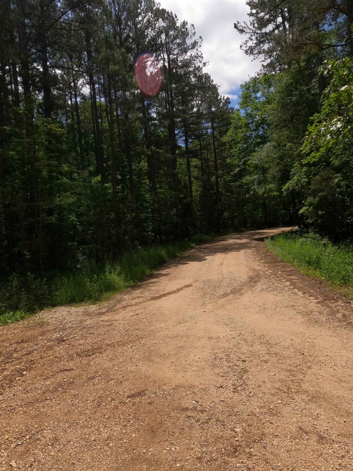
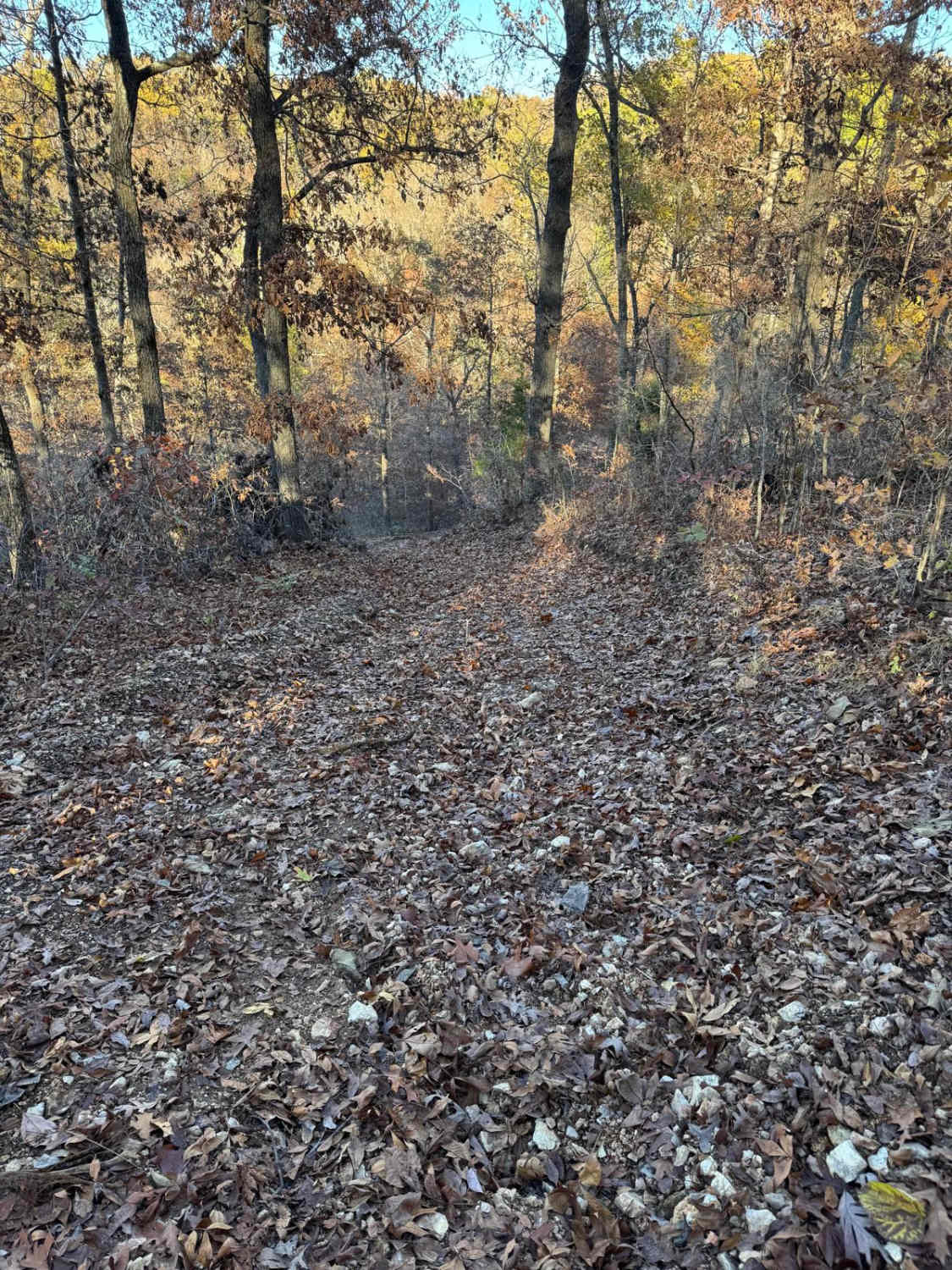
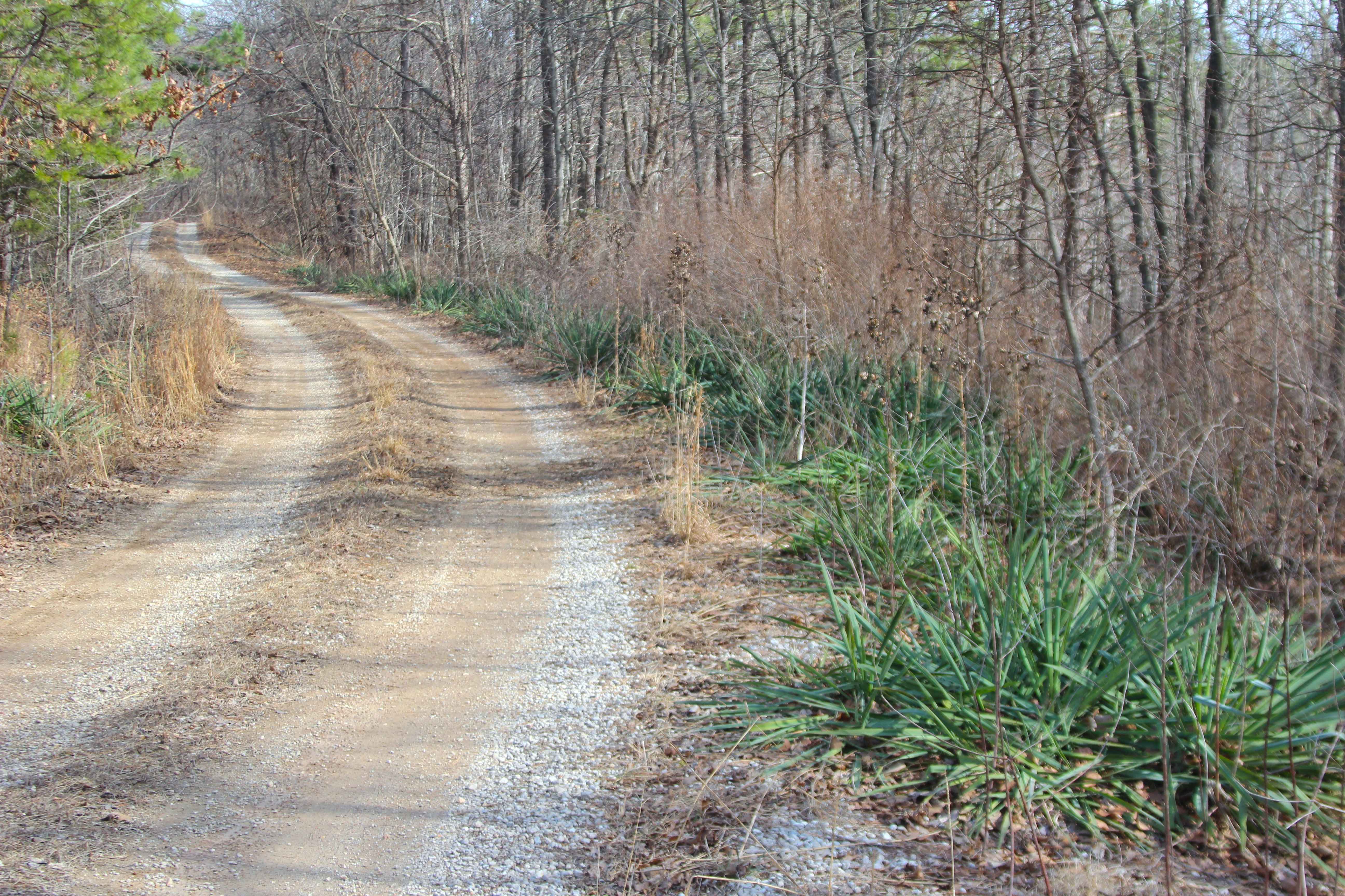
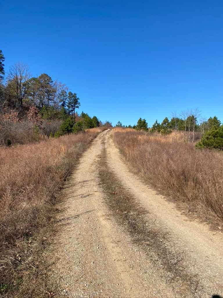
The Crane Lake Recreation Area FSR 2117 is a gravel Forest Service road along the northeast corner of Crane Lake, which is within the Fredericktown Sector of Mark Twain National Forest. This is a great central hub for exploration in the area, located amongst many of the area's other Forest Service roads, but it also brings other outdoor activities to the table such as kayaking, hiking, and fishing to an area already rich in hunting and offroading. The road includes a staging area that can be used to gather a group of vehicles to go on an offroading outing or to take a break or lunch, as well as a boat ramp at the tail end of the road to launch fishing boats, canoes, and kayaks. At this same boat ramp turnaround lot, there is access to the hiking trail, Crane Lake Trail #056128, which goes around the whole lake, dam, and rock shut-ins to the south of the lake, totaling 4.8 miles. As of summer 2023, the lake is low in preparation for repairing the dam on the southern end, but the intention of the lake is to remain open throughout. The main landmarks of the area are the sign entrance and low water bridge at 37.42654, -90.62646, entry to Reader Hollow Trail FSR 2155 at 37.42627, -90.62577, the original boat ramp, the parking loop at 37.42546, -90.62618, and the new second boat ramp and hiking trail entrance at 37.42432, -90.62521.
Photos of Crane Lake Recreation Area FRS 2117
Difficulty
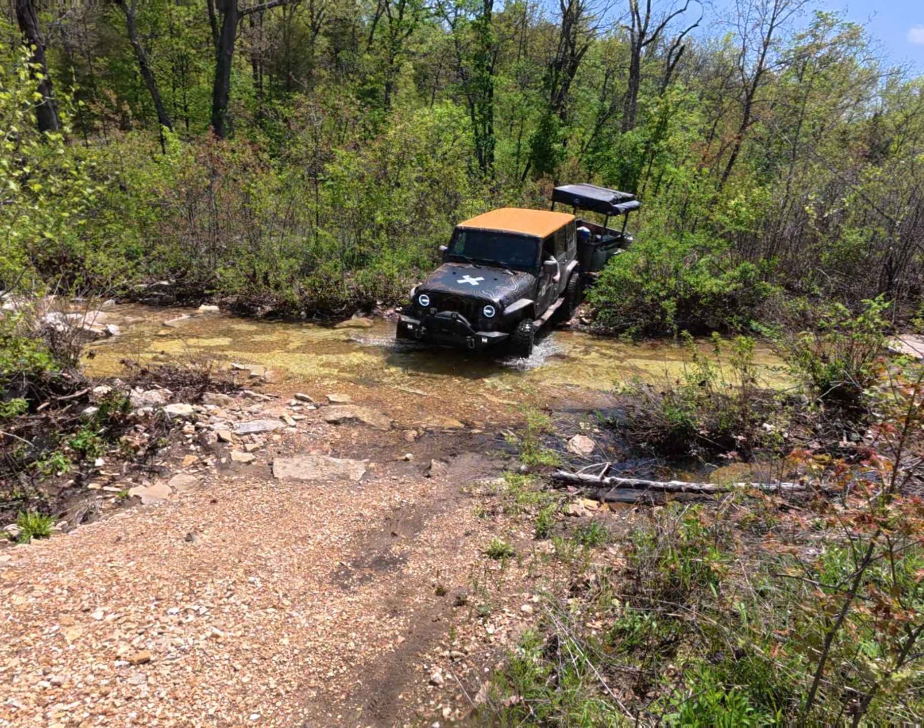
The only thing pushing this trail to have a rating other than 1/10 is the low water bridge at the entry point into the recreation area. It features a feeder creek that during times of heavy rain and wet conditions could feature higher water (up to 12 inches) than its normal state of 3 inches. This trail is given a 1/10 but with precaution of this one water crossing. When water is up, it will elevate the difficulty.
Status Reports
Crane Lake Recreation Area FRS 2117 can be accessed by the following ride types:
- High-Clearance 4x4
- SUV
- SxS (60")
Crane Lake Recreation Area FRS 2117 Map
Popular Trails
Perkins Ridge - FS 423
Bee Ridge FSR 3844/3844C
Racetrack Ridge
The onX Offroad Difference
onX Offroad combines trail photos, descriptions, difficulty ratings, width restrictions, seasonality, and more in a user-friendly interface. Available on all devices, with offline access and full compatibility with CarPlay and Android Auto. Discover what you’re missing today!