Compton - FS 2649
Total Miles
1.1
Technical Rating
Best Time
Spring, Summer, Fall, Winter
Trail Type
Full-Width Road
Accessible By
Trail Overview
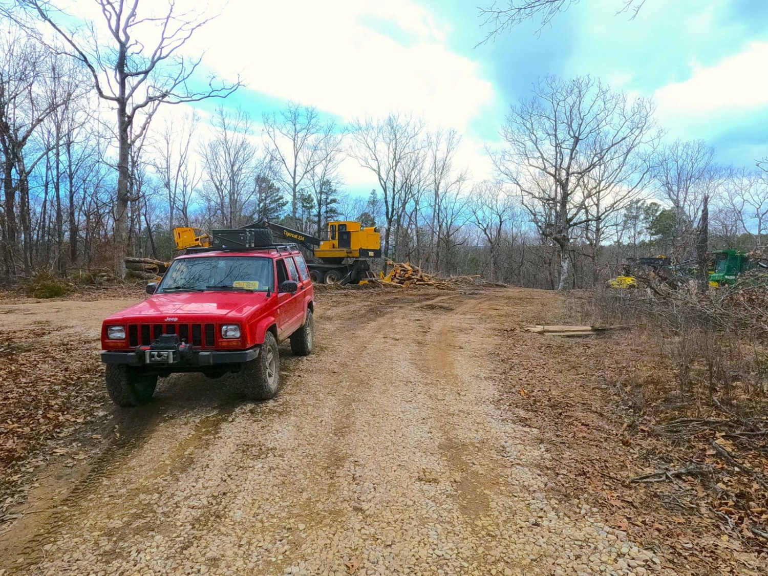
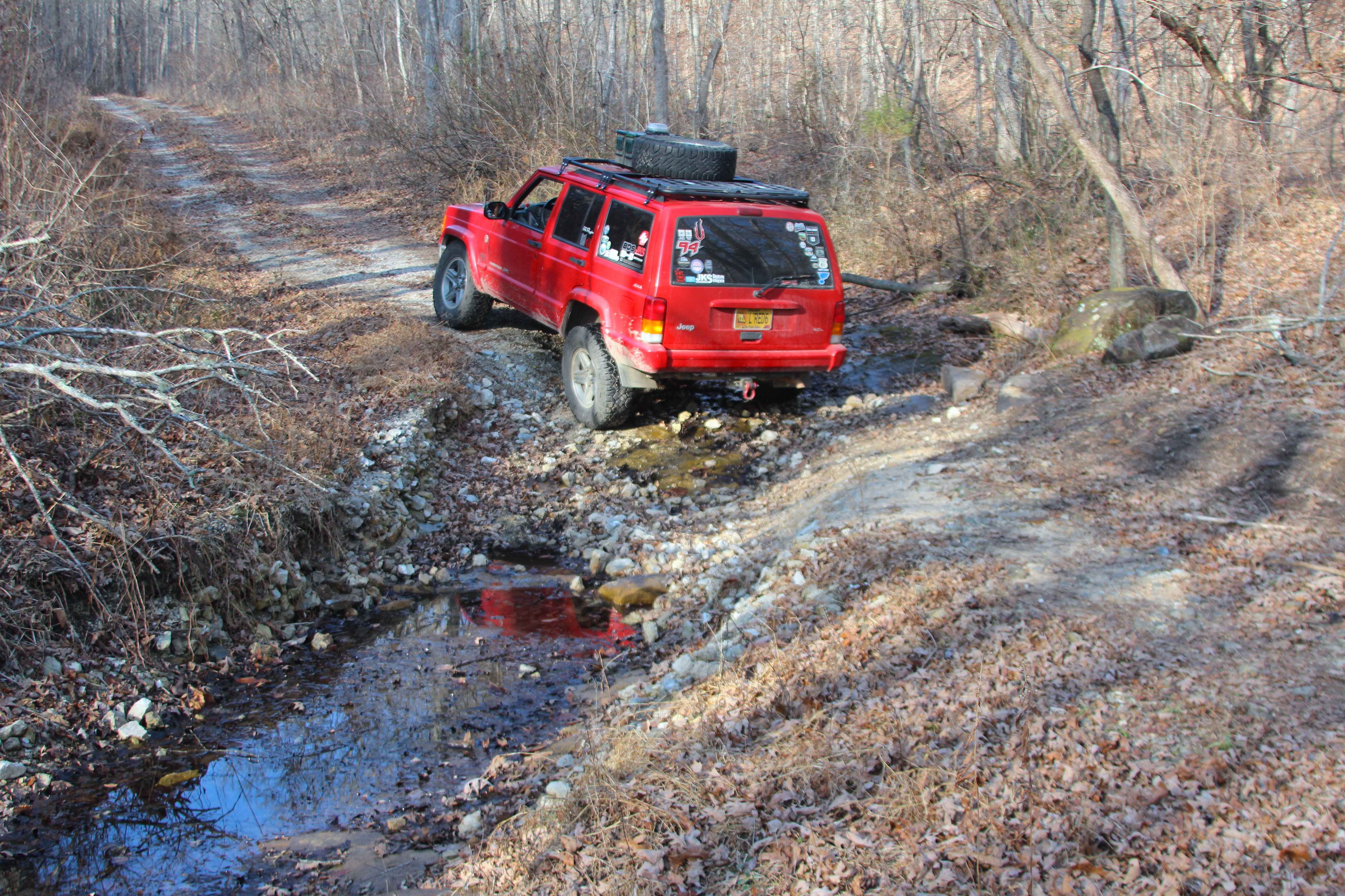
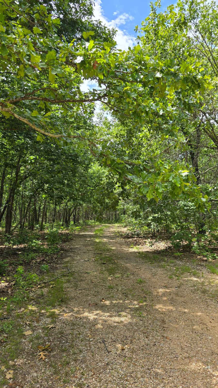
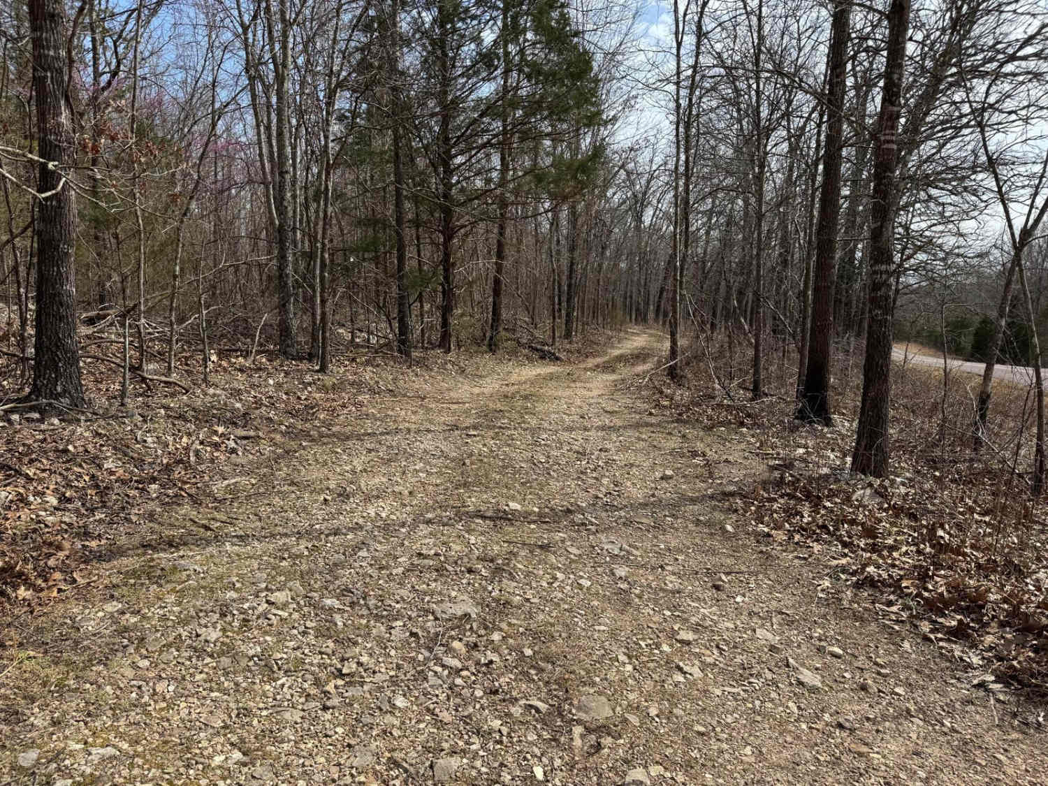
Compton FS 2649 is a dirt and gravel mixed road off Pigeon Roost Road within the Potosi Unit of Mark Twain National Forest. It features a track from one ridge top to another crossing into the valley where a feeder creek runs through and eventually contributes to the Ishmael Branch Creek shortly to the west. The hills in the area are mild in grade, paired with the dirt and gravel-based surface, this terrain type can always lean to less traction when wet. At the end of the MVUM-sanctioned track, there is an open area to turn around and head back out the way they entered. As of 3/2025, the road is currently being logged for the fast-growing shortleaf pine timber that is synonymous with the image of Mark Twain's land that comes to mind. Come to visit Compton, not the one of the wild wild west, but of central midwestern America, where the only whistling to be heard, is the wind through the trees.
Photos of Compton - FS 2649

Difficulty
Compton is given a 2/10 base rating, for having mild-grade hills, and one mild splash point where the water of a feeder creek crosses the trail, having loose rocks (pebbles to small cobbles in size) in its stream. Outside of this, the road has a 1/10 gravel road throughout, being well-maintained, and recently (3/2025), being part of a timber logging operation, getting a fresh layer of chat/gravel throughout. Expect the normal gravel road complications in mounding, washboards, and potholes.
History
On March 15th, 2025, a stewardship program started by local OnX Offroad Trail Guides called Heartland Trail Trash with aid from Ozark Rivers Solid Waste Management and OnX Offroad, set out on a mission to clean up a large part of Mark Twain National Forest Potosi Unit. Specifically at Compton FS 2649, a near never-ending shingle pile was picked up and disposed of. The one-day event yielded 6 tons of trash, 4.6 tons of tires, and 33 pounds of aluminum cans removed from the forest. Many thanks to the support of OnX Maps and all the hard-working individuals within the Heartland Trail Trash group. In other older history, via the 1958 Palmer, MO topo map, at the first hilltop south past the entry of the FS 2649, was once the Tiff Lookout Tower, roughly at 37.858, -90.933, still showed in name or as a symbol as late as the 2011 topo of Palmer, but in the 2015 edition topo, it was completely unnoted and taken off the map. No other substantial documentation of this tower was found outside the maps; perhaps it went by another name in its life, but this doesn't seem likely, rather it was short-lived and sadly soon forgotten. According to the State Historical Society of Missouri regarding Tiff, MO, "A small town in eastern Union Township, with a post office since 1910. It is a shipping point for tiff mines in the vicinity; hence the name. Tiff is defined in the Standard Dictionary as a local miner's term for the non-metalliferous minerals found in a vein of lead, zinc, or other ores. This rock material consists of calcite or barite" If looking for it, one can learn something new every day.
Status Reports
Compton - FS 2649 can be accessed by the following ride types:
- High-Clearance 4x4
- SUV
Compton - FS 2649 Map
Popular Trails
Big Gulch - FS 497
Schott Spur C - FS 1516C

Buzzard Ridge Spur A - FS 2677A
The onX Offroad Difference
onX Offroad combines trail photos, descriptions, difficulty ratings, width restrictions, seasonality, and more in a user-friendly interface. Available on all devices, with offline access and full compatibility with CarPlay and Android Auto. Discover what you’re missing today!