Rail Hollow
Total Miles
4.6
Technical Rating
Best Time
Spring, Summer, Fall, Winter
Trail Type
Full-Width Road
Accessible By
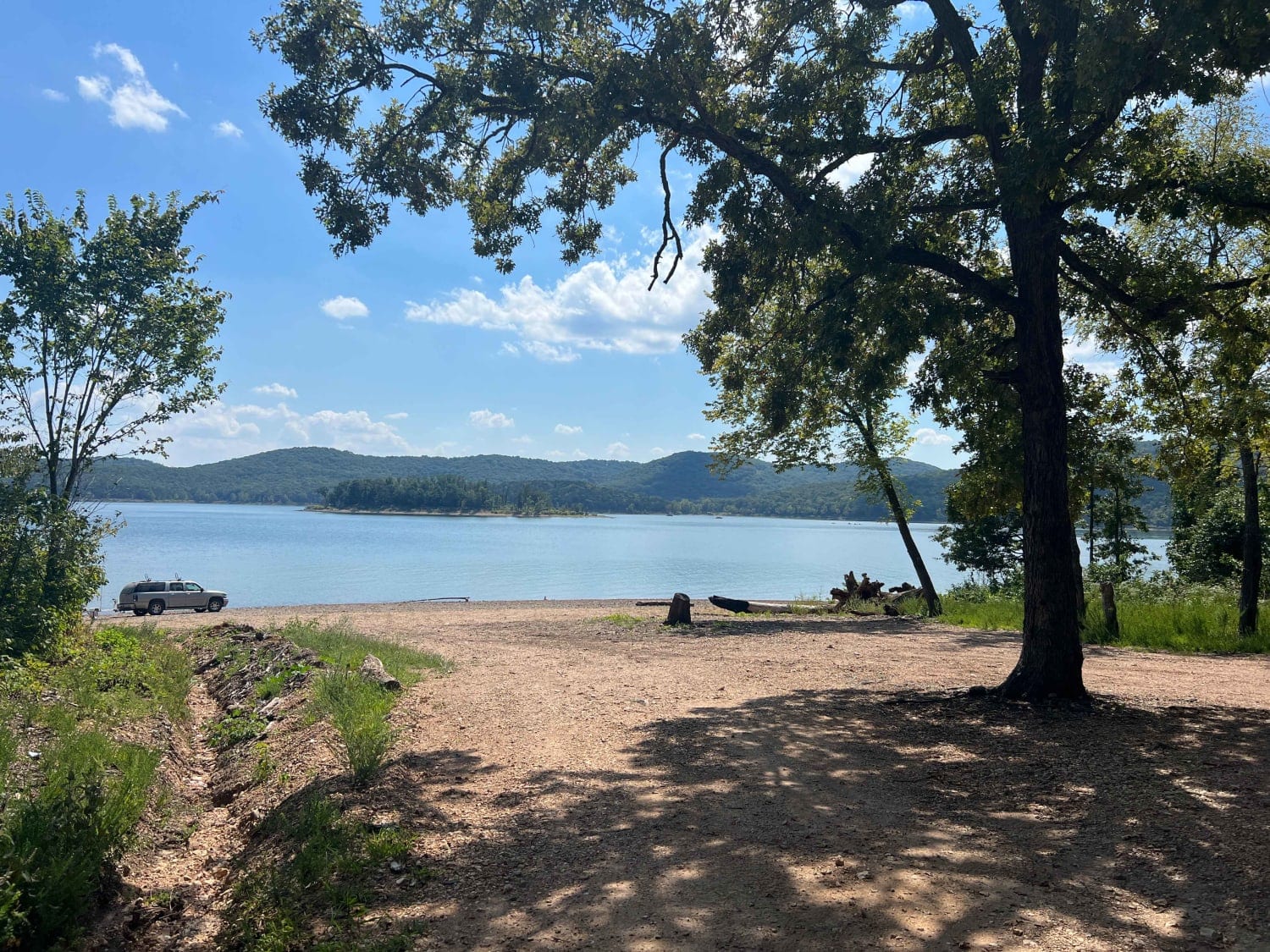
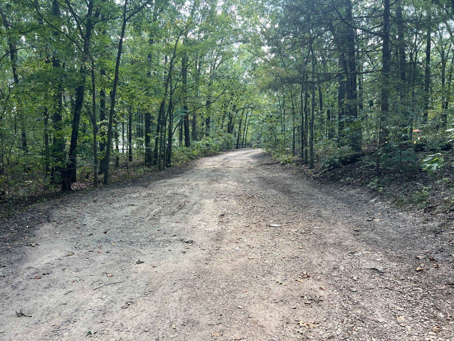
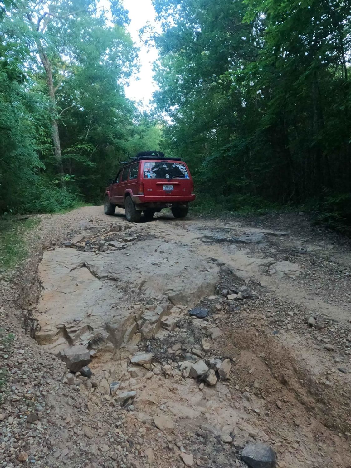
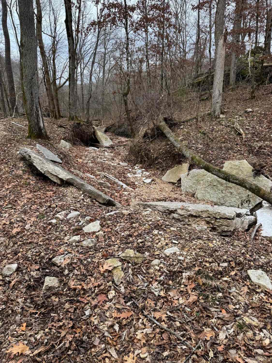
Trail Overview
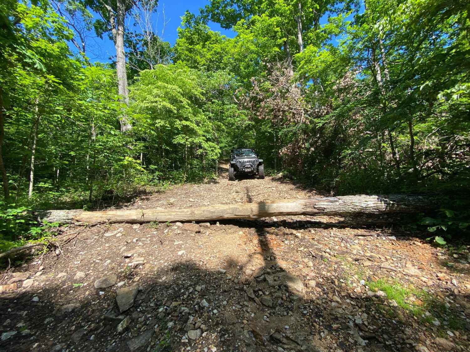
Rail Hollow starts out from Stallion Bluff Road/FSR2185 and descends along The Piney Creek Wilderness on 39-1M/FSR1018. It is a well-maintained gravel road freshly graded and wide enough for two vehicles to pass. Once passing the Smith Branch turn off FSR1019 the road becomes much steeper and loose descending down to the James River arm of Table Rock Lake. Take caution when descending this hill, 4WD is recommended for returning to the top. This area is very popular for camping along the lake when the water is low a nice gravel beach surrounds the large area for camping.
Photos of Rail Hollow
Difficulty
The only difficulty is the steep loose grade descending down to the James River arm of Table Rock Lake.
Status Reports
Rail Hollow can be accessed by the following ride types:
- High-Clearance 4x4
- SUV
Rail Hollow Map
Popular Trails
Arnett Mountain FSR 2191
Eagle Ridge

Joe Bill Bluff - RD27
The onX Offroad Difference
onX Offroad combines trail photos, descriptions, difficulty ratings, width restrictions, seasonality, and more in a user-friendly interface. Available on all devices, with offline access and full compatibility with CarPlay and Android Auto. Discover what you’re missing today!