Old Baptist Church Bo-Co Road 920
Total Miles
1.9
Technical Rating
Best Time
Spring, Summer, Fall
Trail Type
High-Clearance 4x4 Trail
Accessible By
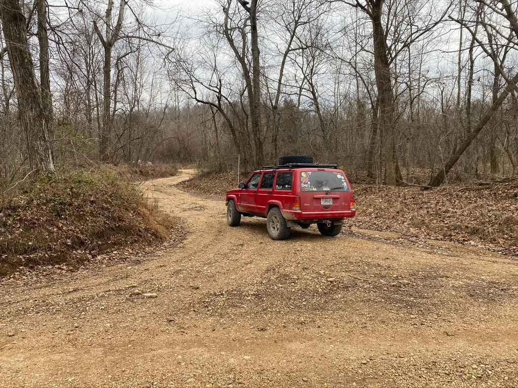
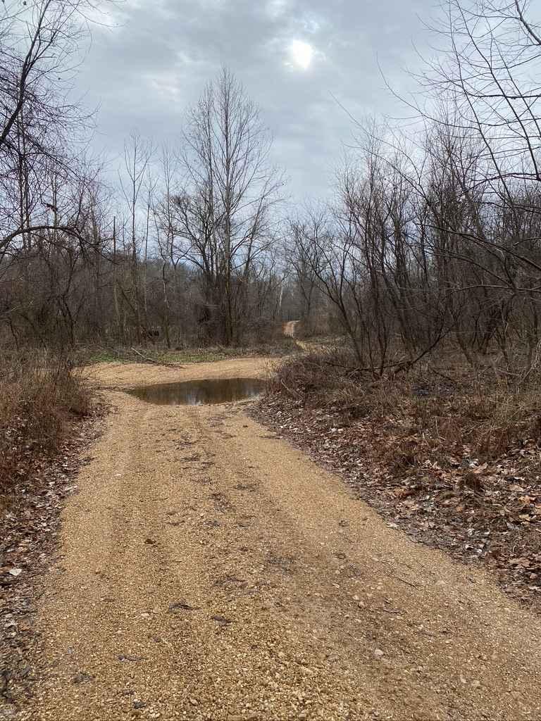
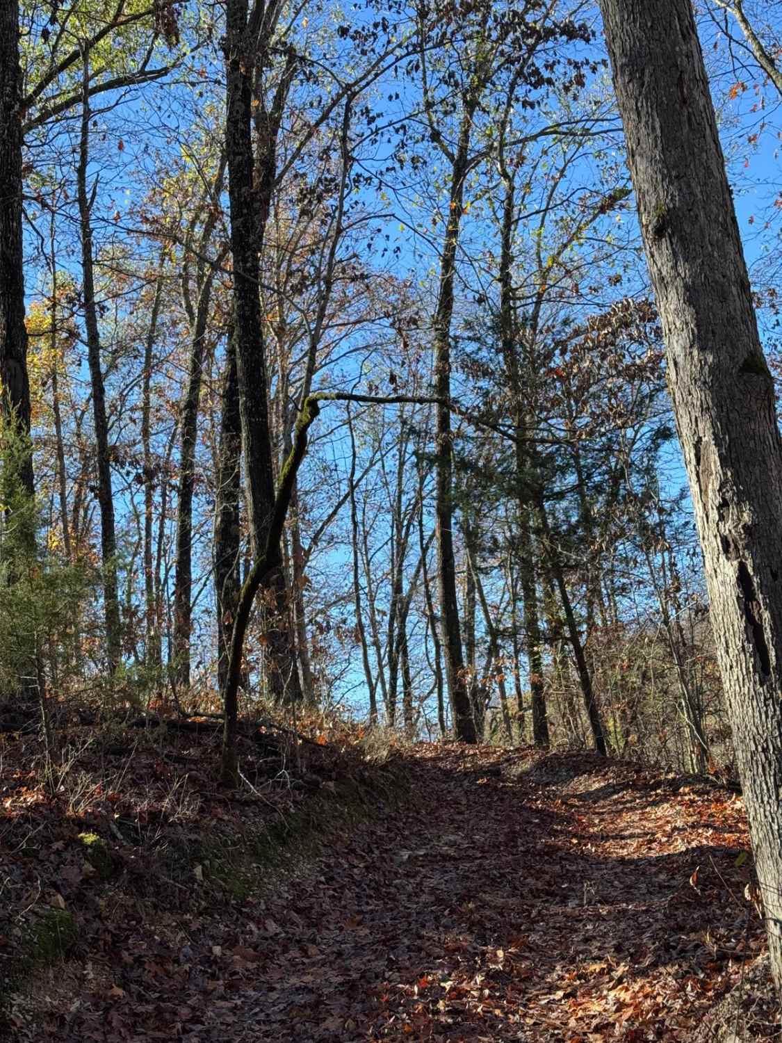
Trail Overview
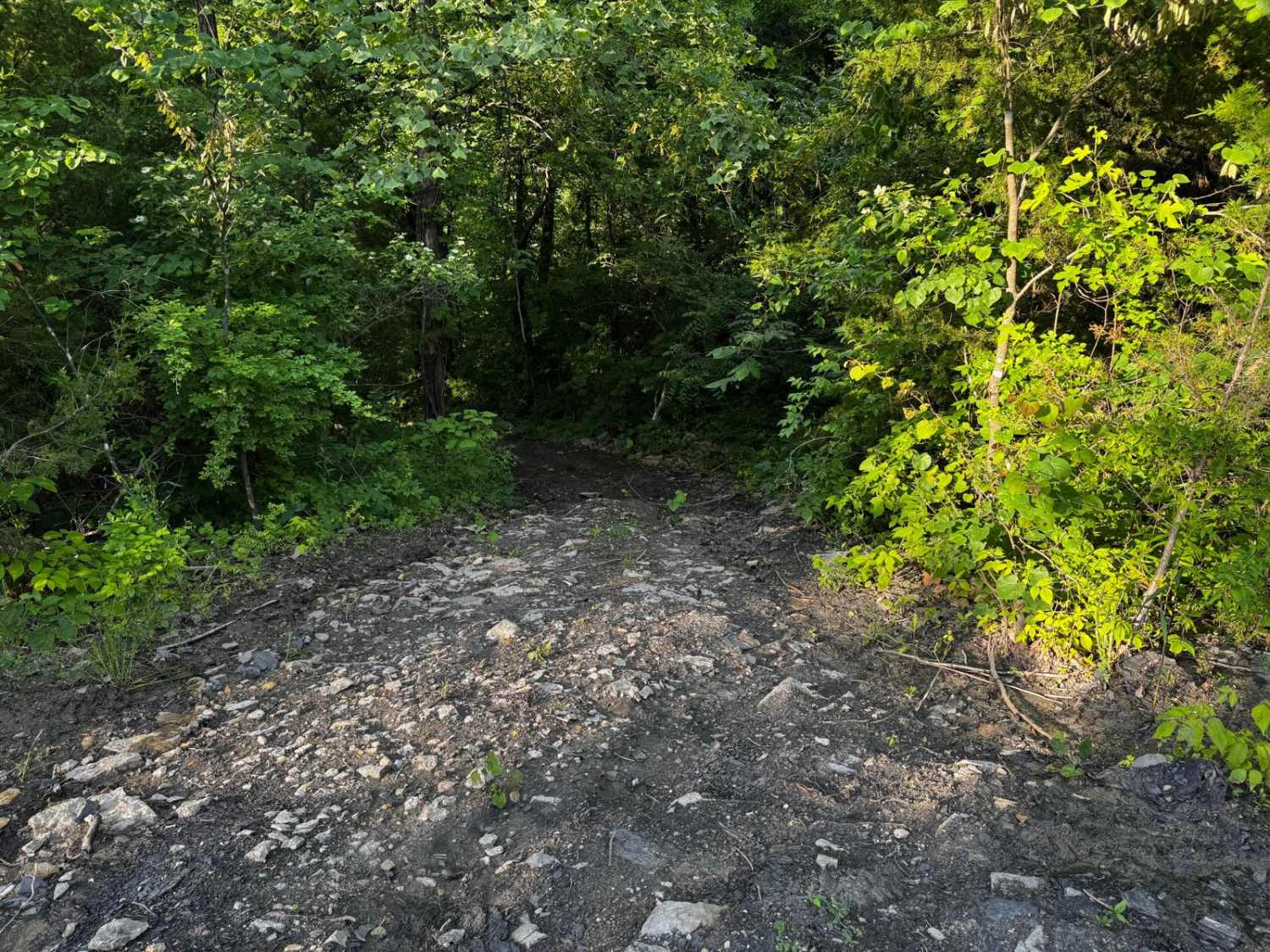
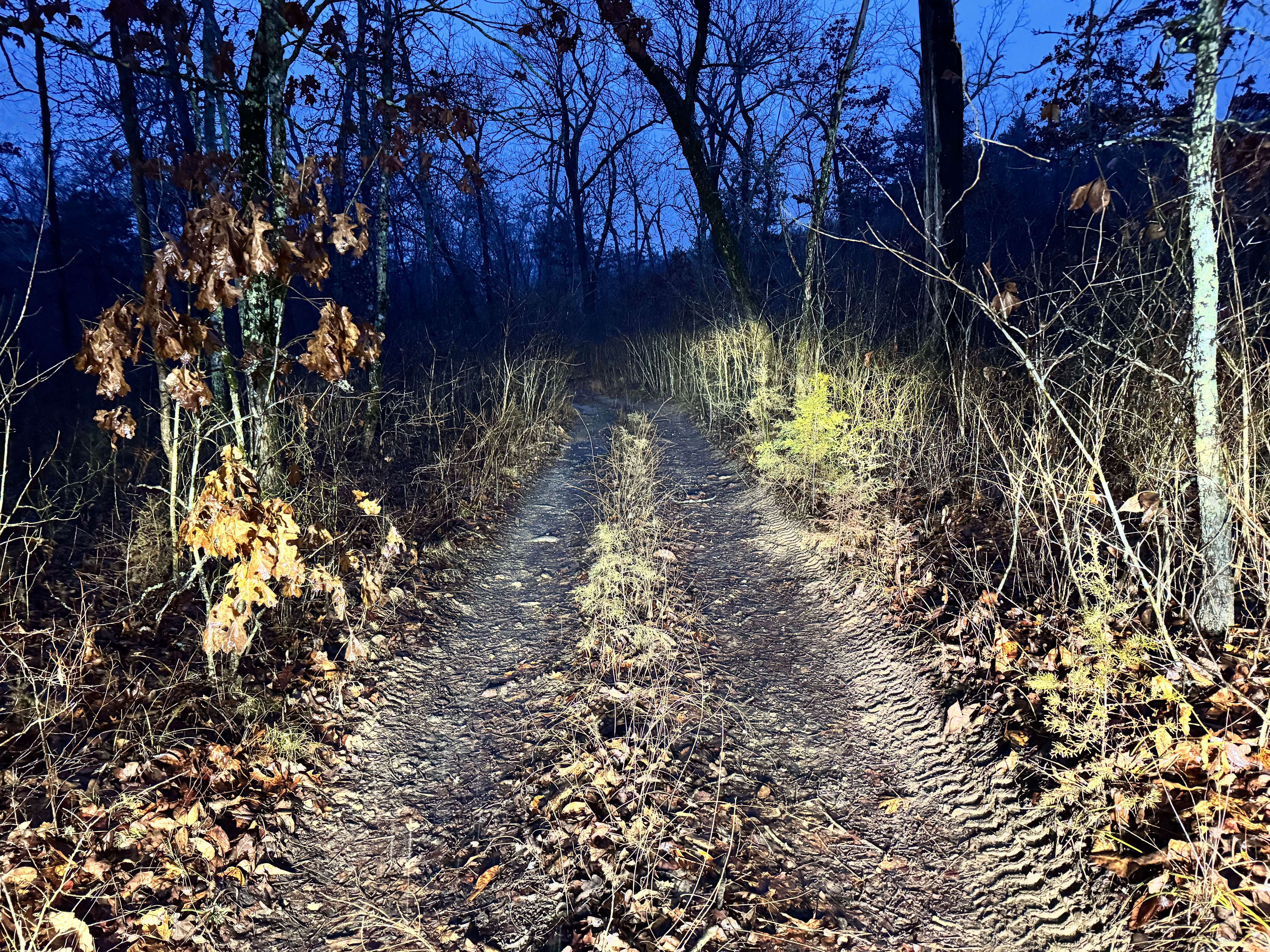
The Old Baptist Church Road (Bollinger County Road 920) is a county gravel road that leads to the old church, finishing with some fun along the way. The road is mostly an easy gravel ride with a few hills and water collection spots. But as it leads into the bottoms past the church, there is a moderate creek crossing near the north endpoint. This creek on a normal day is 12-24 inches deep by 100 feet long but can be deeper and longer upon the conditions being very wet and rainy. Use caution, as the gravel can be very loose and soft due to ever-changing creek bottoms. There are also other small water collections near the creek and northern endpoint.
Photos of Old Baptist Church Bo-Co Road 920
Difficulty
The main portion of this trail is only a 2/10 or 3/10, but then the creek crossing ramps up to a 5/10 due to its depth and loose bedding. There is just simple rutting and slight washes on the other 90%.
Status Reports
Old Baptist Church Bo-Co Road 920 can be accessed by the following ride types:
- High-Clearance 4x4
Old Baptist Church Bo-Co Road 920 Map
Popular Trails

Yellow 127
The onX Offroad Difference
onX Offroad combines trail photos, descriptions, difficulty ratings, width restrictions, seasonality, and more in a user-friendly interface. Available on all devices, with offline access and full compatibility with CarPlay and Android Auto. Discover what you’re missing today!