Smith Branch Trail
Total Miles
5.6
Technical Rating
Best Time
Spring, Summer, Fall, Winter
Trail Type
Full-Width Road
Accessible By
Trail Overview
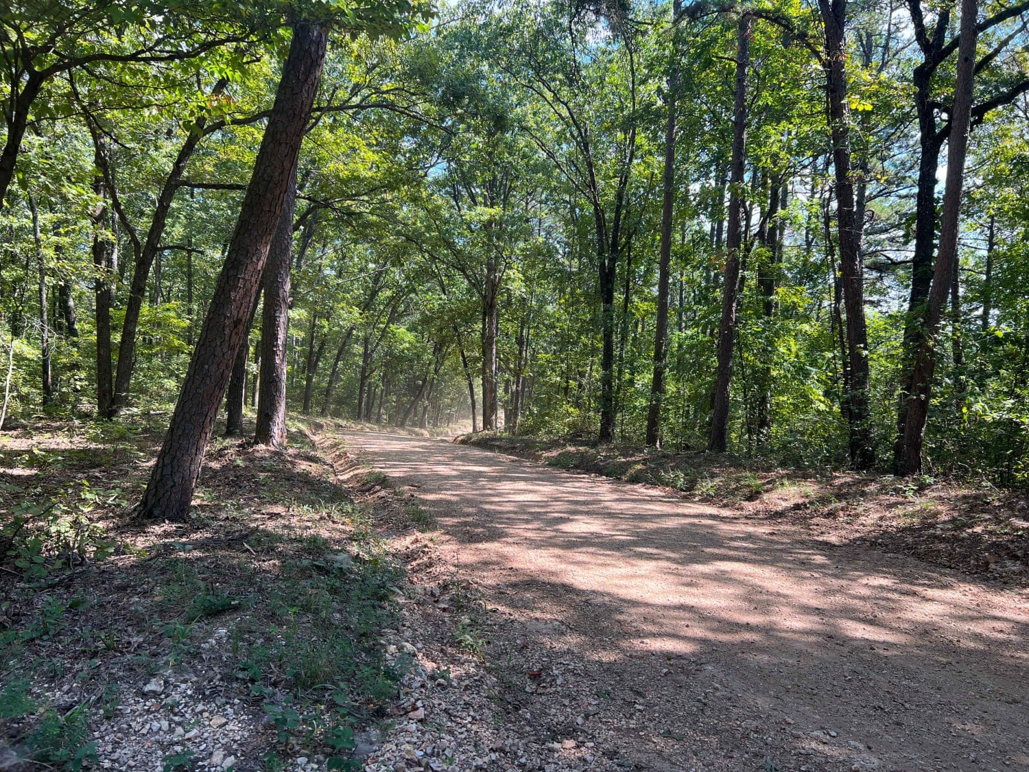
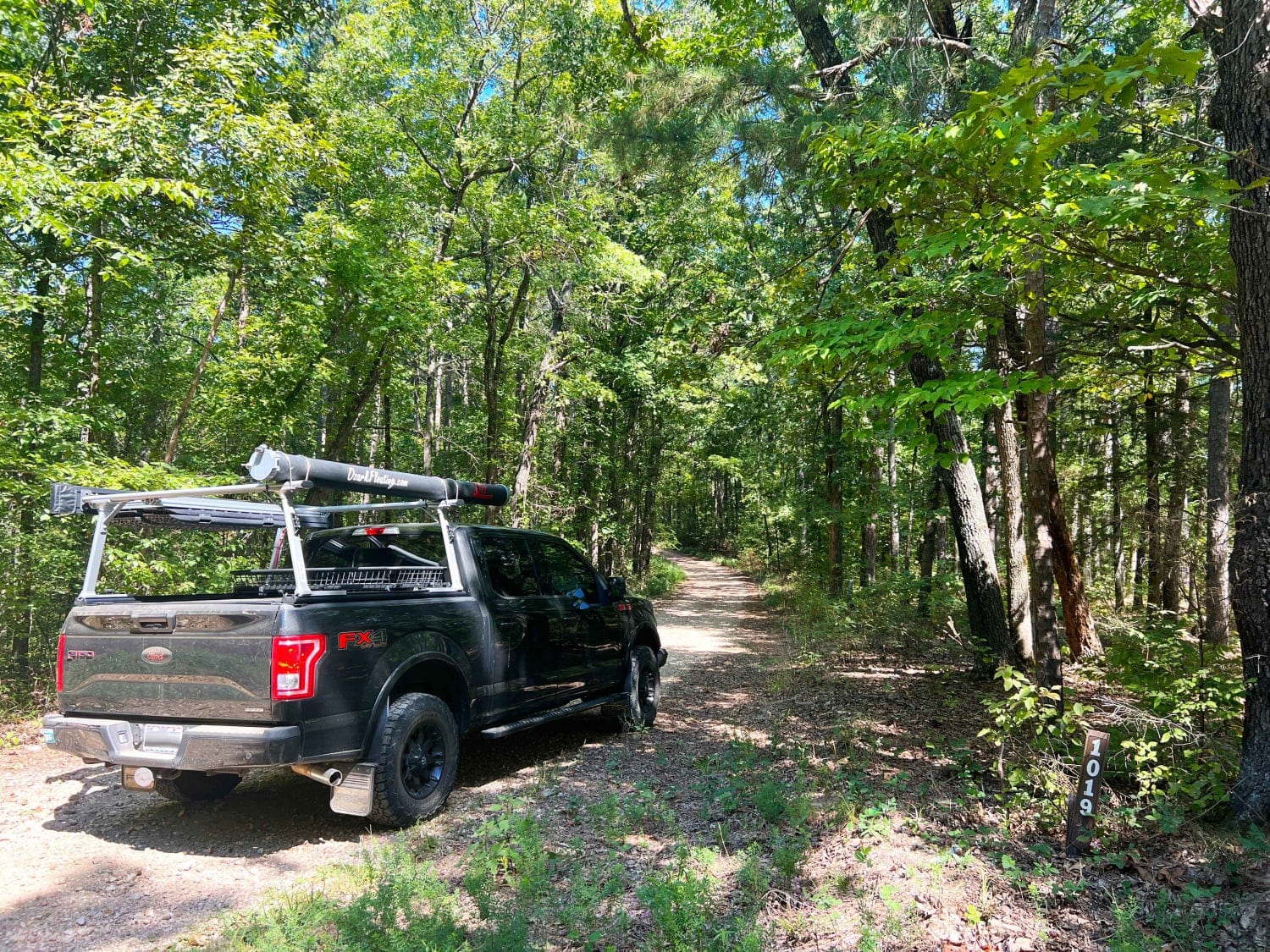
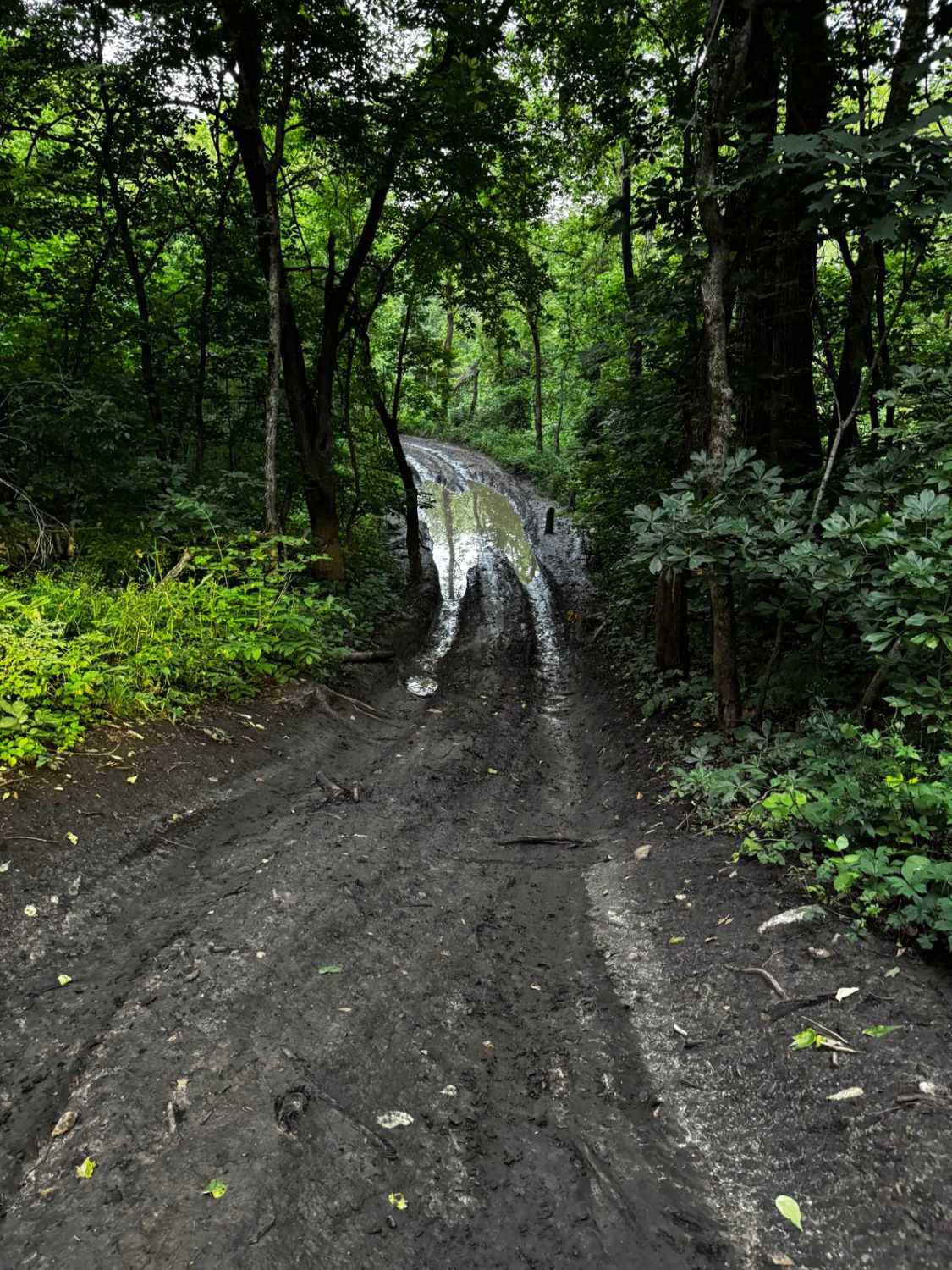
Smith Branch Trail starts along the Rail Hollow Trail at FSR 1019. It is a narrower single-lane road with some areas to pass another vehicle. It has been recently graded but is slightly rougher than Rail Hollow and has some silty-sloped areas that could be difficult to navigate after heavy rains. This trail ends at a T intersection; the left leads to a gate to private property and the right leads to a waterfront dispersed camping area. This shows signs of heavy use; pack it in, pack it out practices need to be enforced here to preserve our forests.
Photos of Smith Branch Trail
Difficulty
There is one steep silty area marked on the trail that could become difficult to navigate after some heavy rains or snow.
Status Reports
Smith Branch Trail can be accessed by the following ride types:
- High-Clearance 4x4
- SUV
Smith Branch Trail Map
Popular Trails
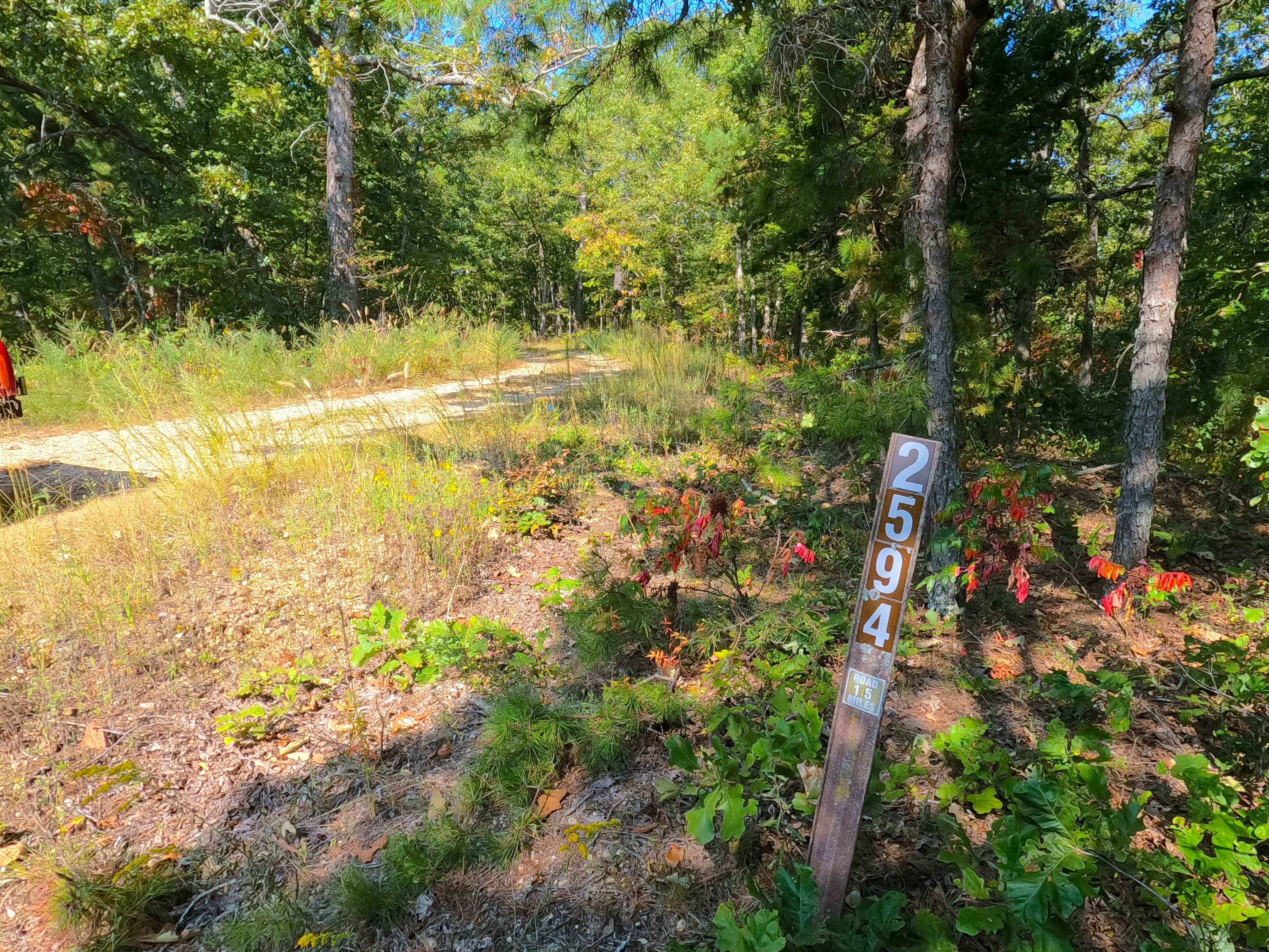
Beasley Hollow - FS 2594

Ball Tickler

Upper Field Trail
The onX Offroad Difference
onX Offroad combines trail photos, descriptions, difficulty ratings, width restrictions, seasonality, and more in a user-friendly interface. Available on all devices, with offline access and full compatibility with CarPlay and Android Auto. Discover what you’re missing today!