Pine Union Hilltop FSR 2137
Total Miles
1.7
Technical Rating
Best Time
Summer, Spring, Fall, Winter
Trail Type
Full-Width Road
Accessible By
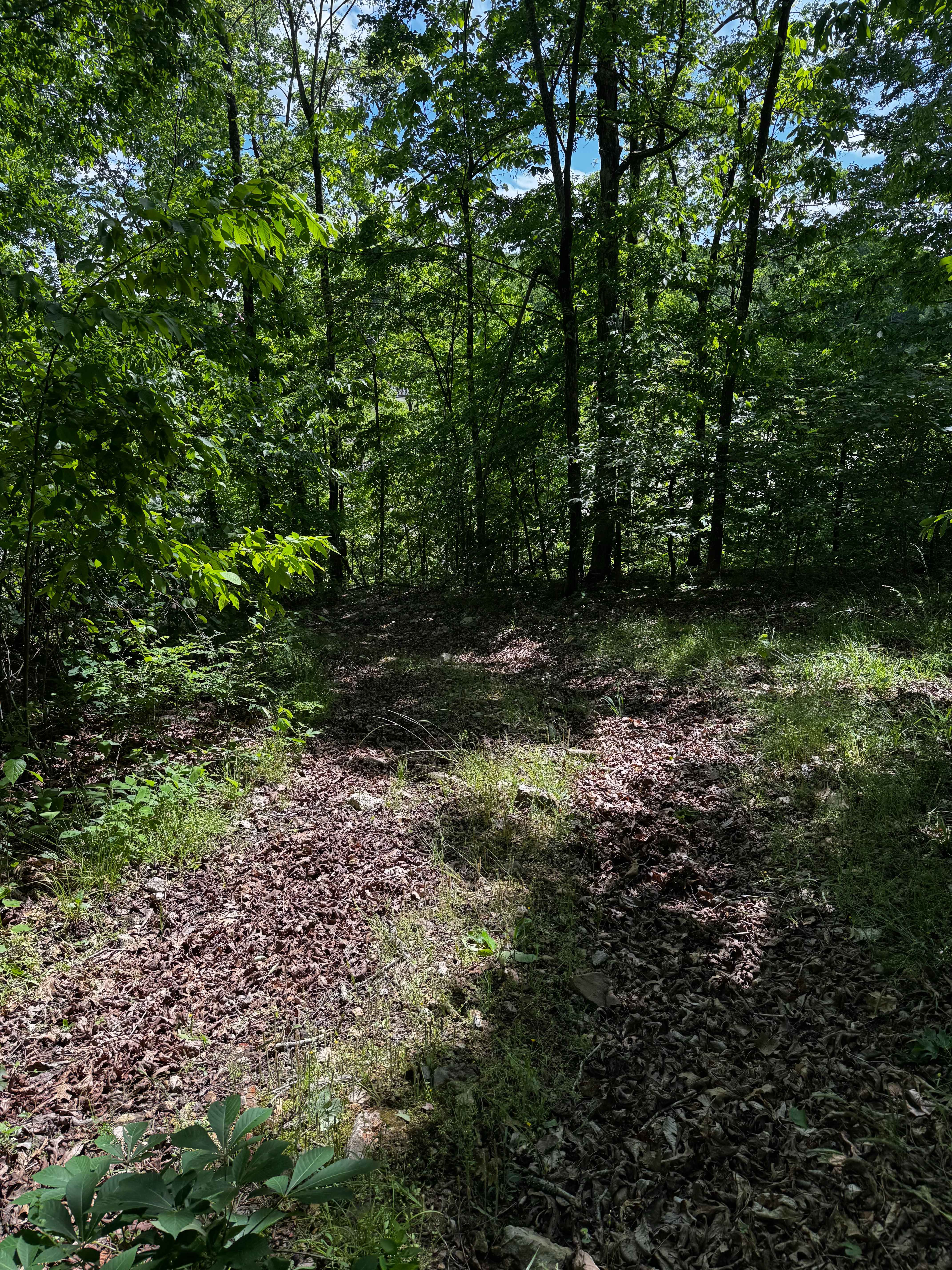
Trail Overview
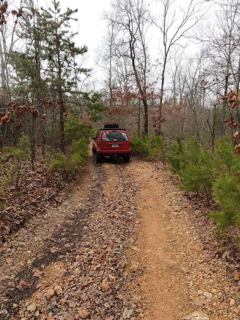
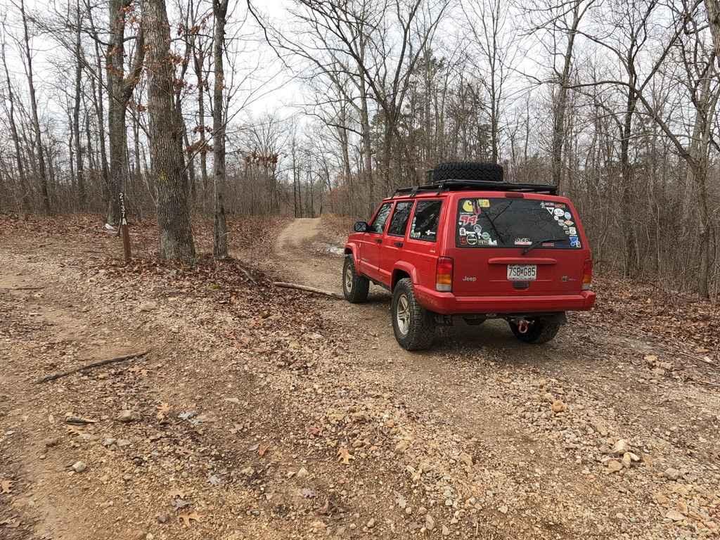
The Pine Union Hilltop FSR 2137, is a gravel forestry service road located on the eastern Fredericktown sector of Mark Twain National Forest. The Pine Union Hilltop is the section that comes after the fork with it the 2137A. It has stable smooth riding and a few thrills to match, including loose rock, small grades, tree roots small ruts, a small water collection area, and a few larger water collection holes towards the end. The trail also includes several cutouts that could be very camp worthy. At the end of the public land, the road keeps going but has several no trespass and forestry boundary signs to warn you that you are there, there is a little cut out here that is a great place to spin around and head back out.
Photos of Pine Union Hilltop FSR 2137
Difficulty
The trail features loose rock, scattered in the path randomly, some water channeling mounds to crawl over, with small water erosion ruts to pair with it. The further into the trail you go the more the difficulty increases due to the water collection holes which on a normal day are probably 6"-12" deep and the more the main gravel road breaks apart and feels more natural. If rain is in the area the difficulty will increase depending on the intensity of the rain.
Status Reports
Pine Union Hilltop FSR 2137 can be accessed by the following ride types:
- High-Clearance 4x4
- SUV
Pine Union Hilltop FSR 2137 Map
Popular Trails

Taum Sauk Cemetery - RCR 205
Glade Top Southwest - FS 149
Hillside 70
The onX Offroad Difference
onX Offroad combines trail photos, descriptions, difficulty ratings, width restrictions, seasonality, and more in a user-friendly interface. Available on all devices, with offline access and full compatibility with CarPlay and Android Auto. Discover what you’re missing today!