Flag Springs Road
Total Miles
10.9
Technical Rating
Best Time
Spring, Summer, Fall, Winter
Trail Type
Full-Width Road
Accessible By
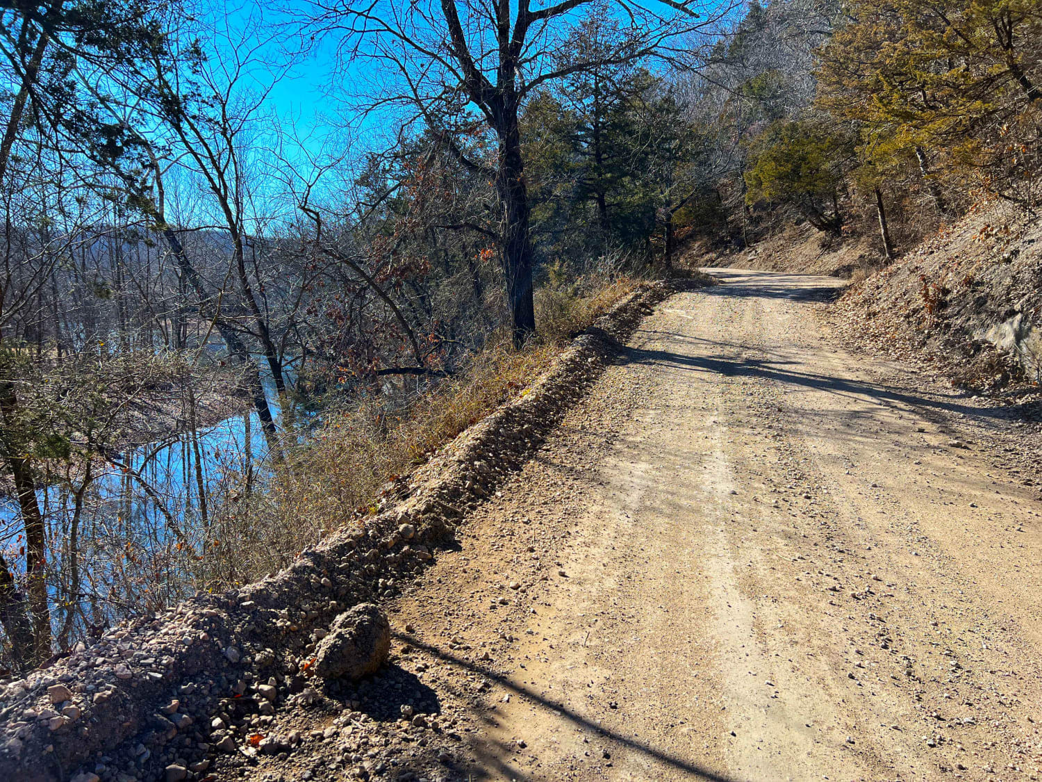
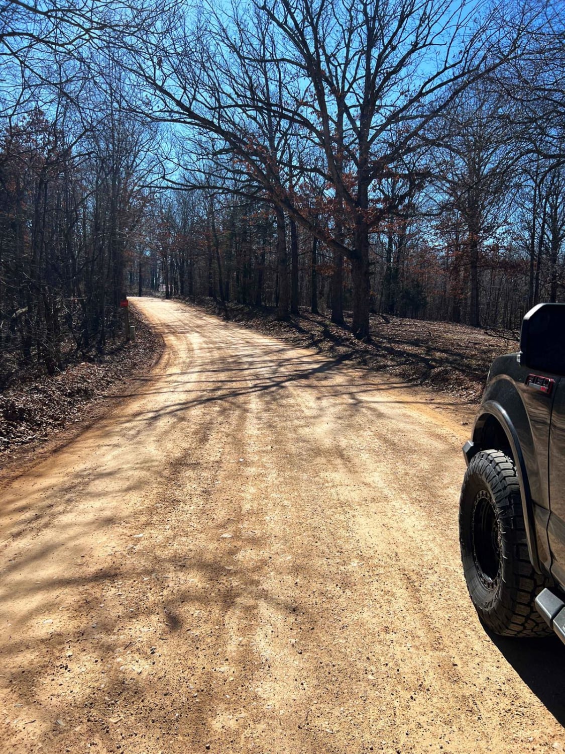
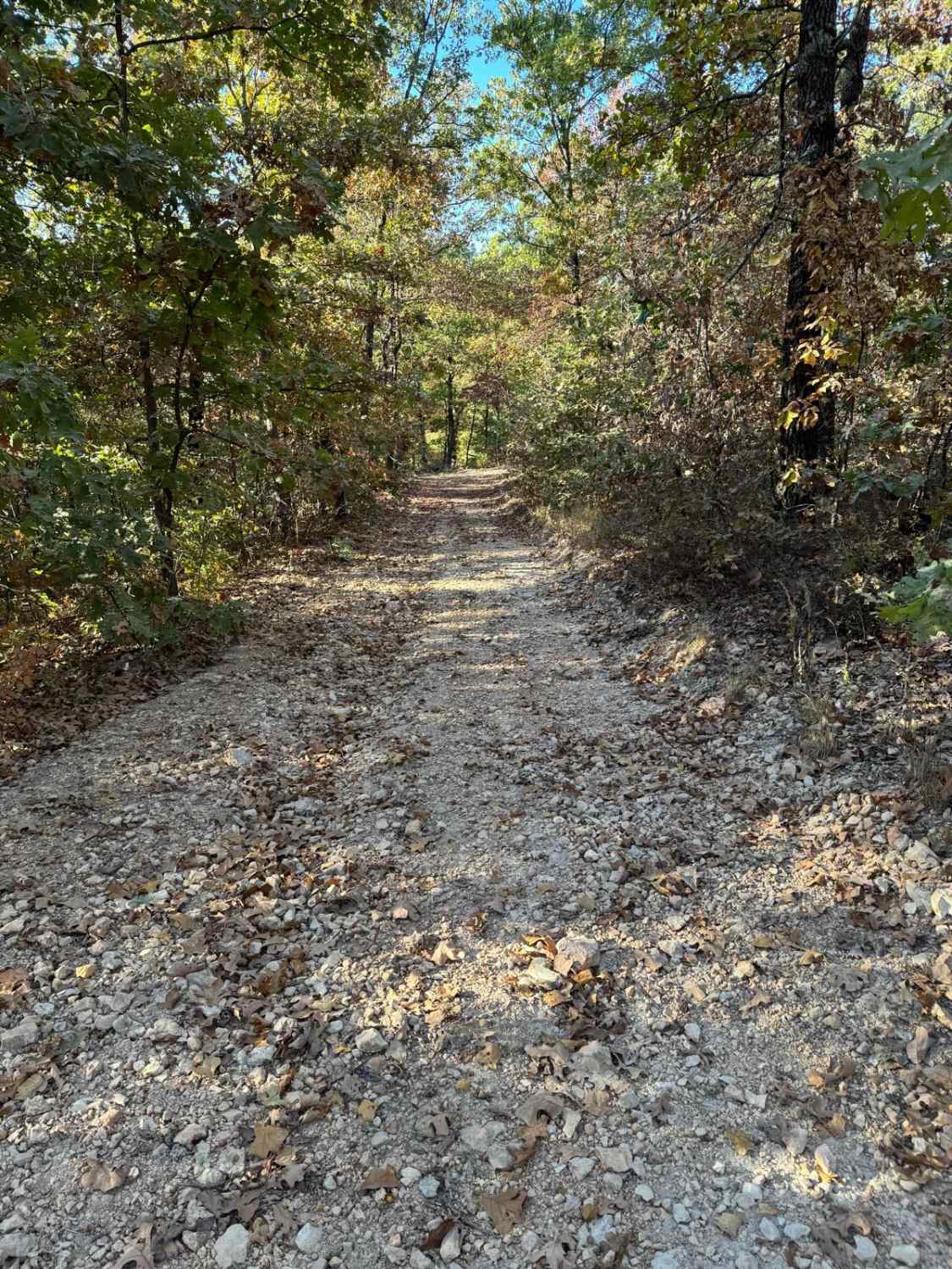
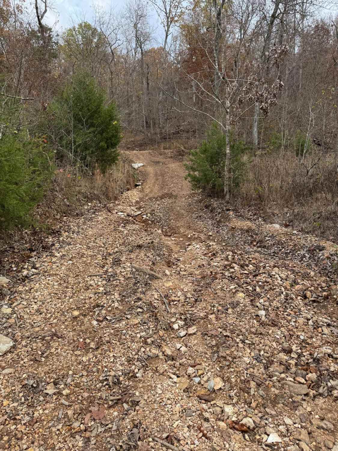
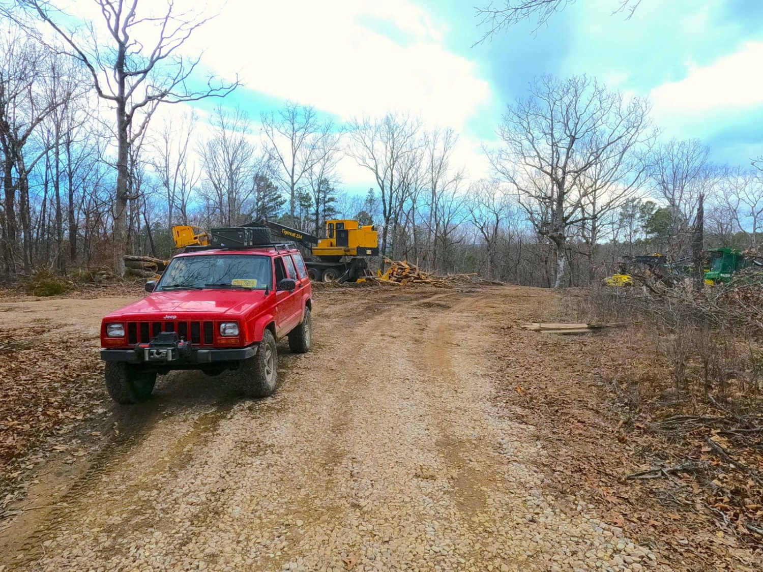
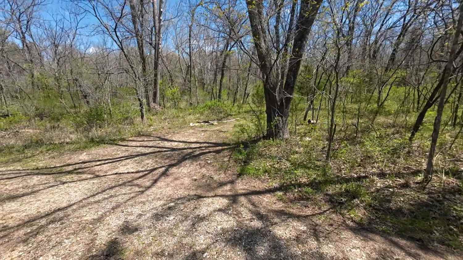
Trail Overview
Flag Springs Road is a combination of gravel, dirt, and hard-packed red clay. It passes through Flag Springs Conservation Area and a public shooting range. Meandering along Brush Creek, the road crosses multiple dry creek crossings opening up to private ranches when turning left at County Road SE E60. The road then follows along Mikes Creek with some incredible views in the winter and spring seasons of the crystal-clear creek water below.
Photos of Flag Springs Road
Difficulty
This trail is mostly easy-going dirt with a few areas that could become difficult after heavy rains. Several creek crossings may become deep after heavy rains.
Status Reports
Flag Springs Road can be accessed by the following ride types:
- High-Clearance 4x4
- SUV
Flag Springs Road Map
Popular Trails
Yellow 46
Yellow 205
Compton - FS 2649
West Boundary FR 1672
The onX Offroad Difference
onX Offroad combines trail photos, descriptions, difficulty ratings, width restrictions, seasonality, and more in a user-friendly interface. Available on all devices, with offline access and full compatibility with CarPlay and Android Auto. Discover what you’re missing today!