West Boundary FR 1672
Total Miles
1.5
Technical Rating
Best Time
Fall, Summer, Spring
Trail Type
Full-Width Road
Accessible By
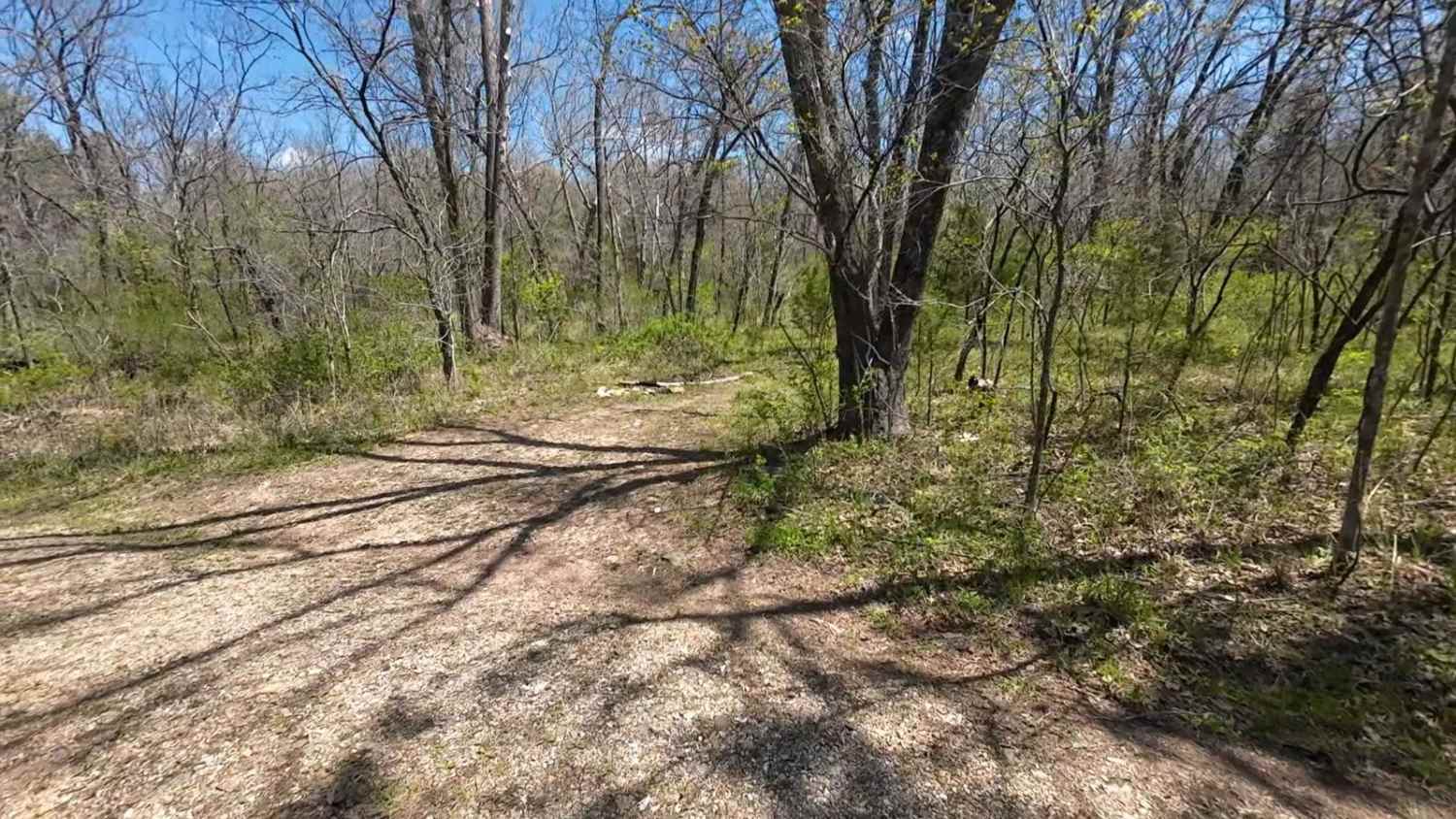
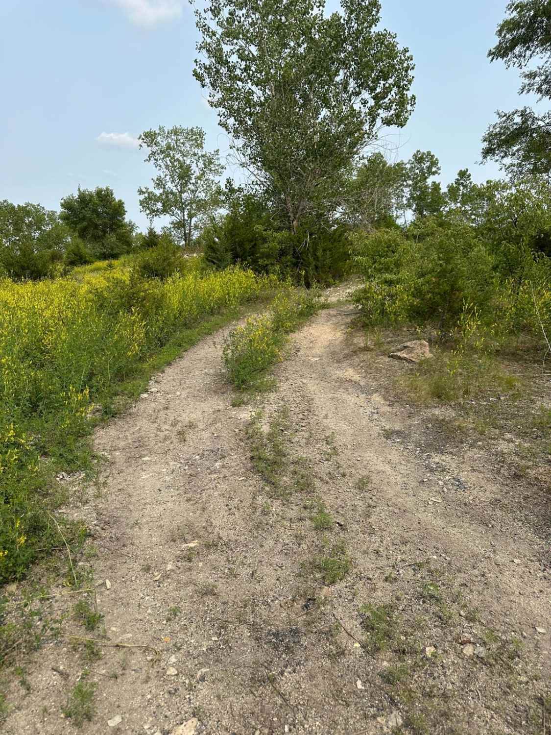
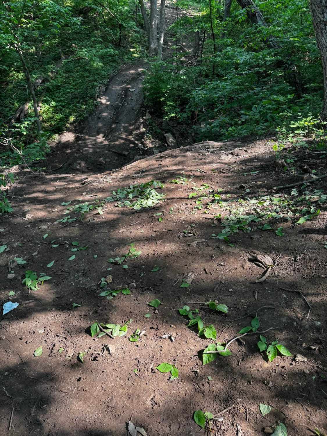
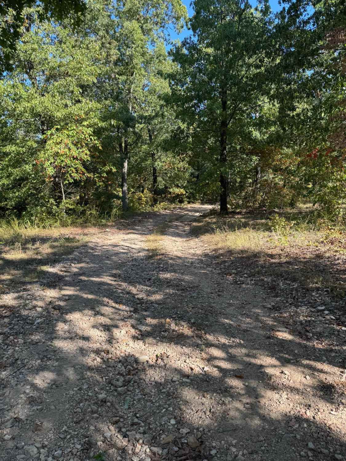
Trail Overview
This is an out-and-back trail into the Mark Twain National Forest with elevation changes, washouts, rocks, ruts, and a few turns. The trail is mostly a 2-track with a gravel/rocky surface and a couple of turnouts and campsites along the way. This route is right on the western edge of the Mark Twain National Forest, east of Lebanon, Missouri.
Photos of West Boundary FR 1672
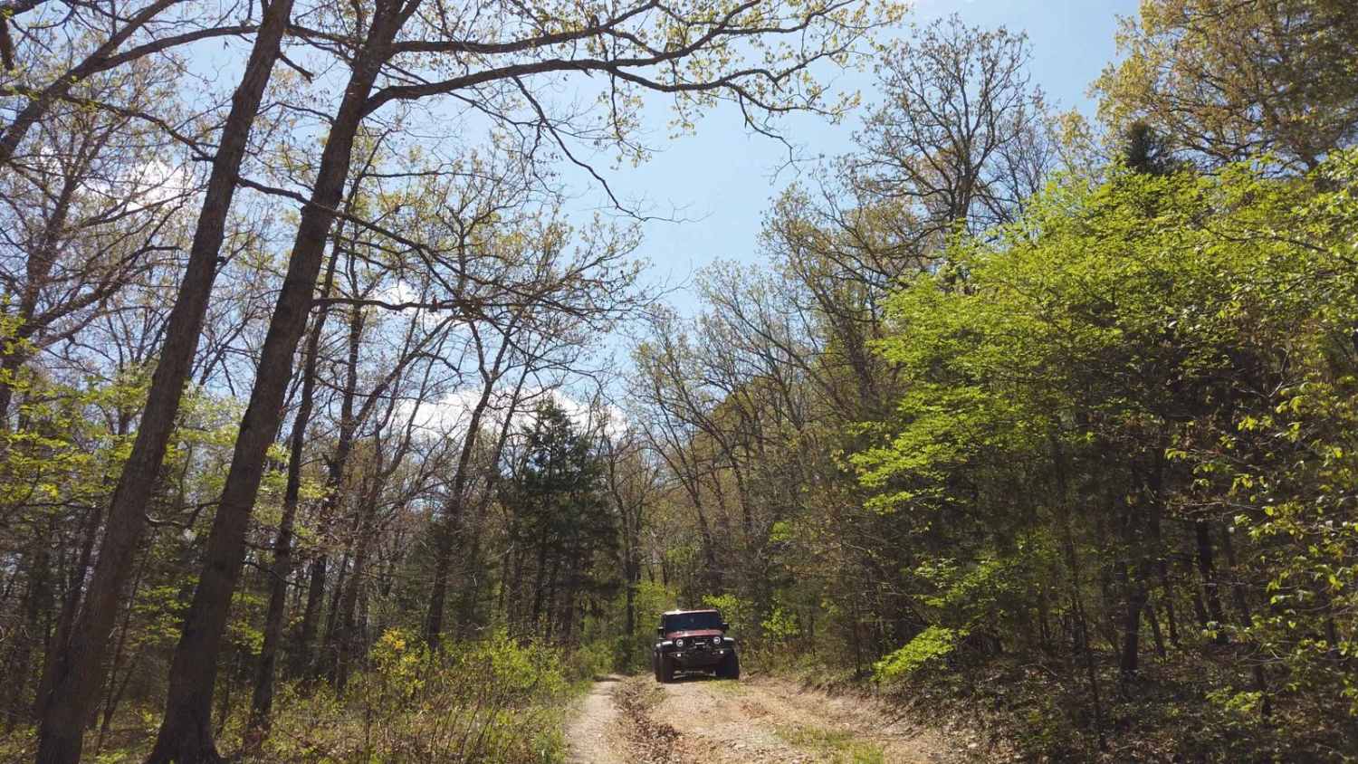
Difficulty
There are a few deep ruts/washouts on some of the hills that can be avoided with proper tire placement. Otherwise it's a pretty simple trail that you can pull a trailer down. If you decide to go past the creek at the end, it would be 5 or 6, but it seems the Forest Service is trying to keep people out by creating rock piles. Pass at your own risk; there are very few, if any, signs of traffic beyond that point.
Status Reports
West Boundary FR 1672 can be accessed by the following ride types:
- High-Clearance 4x4
- SUV
West Boundary FR 1672 Map
Popular Trails

Purple 200
Bounty Hill 93
Yellow 19
The onX Offroad Difference
onX Offroad combines trail photos, descriptions, difficulty ratings, width restrictions, seasonality, and more in a user-friendly interface. Available on all devices, with offline access and full compatibility with CarPlay and Android Auto. Discover what you’re missing today!